Brooke
Settlement in Rutland
England
Brooke

Brooke is a small village located in the county of Rutland, in the East Midlands region of England. Situated approximately 8 miles east of Oakham, the village is nestled in the heart of the picturesque Rutland countryside. With a population of around 200 residents, Brooke exudes a tranquil and close-knit community atmosphere.
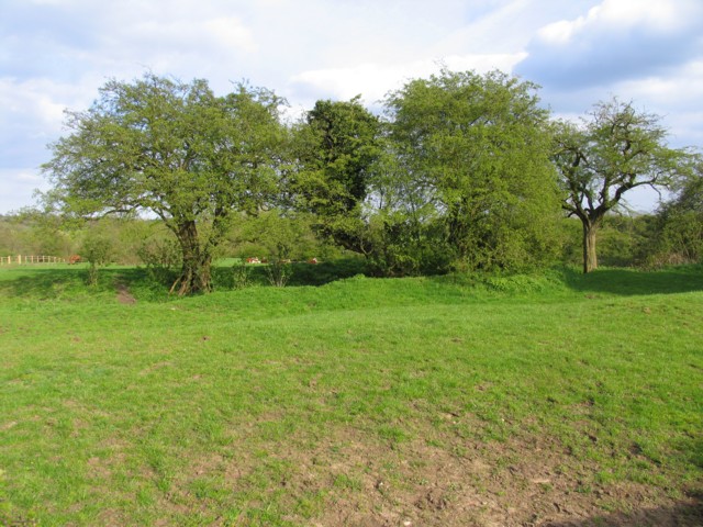
The village is characterized by its quintessential English charm, with traditional stone cottages, well-maintained gardens, and a charming village green. The stunning surrounding countryside provides residents and visitors with ample opportunities for outdoor activities, such as walking, cycling, and horse riding.
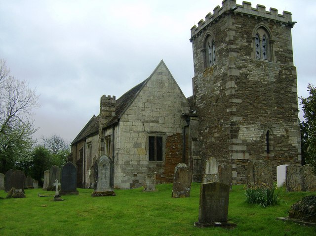
Brooke is also home to the 13th-century St. Peter's Church, a beautiful and historic landmark that adds to the village's charm. The church features impressive architectural details, including a tower with a spire, stained glass windows, and intricate stone carvings.
Despite its small size, Brooke offers some amenities to its residents. These include a village hall, which serves as a hub for community activities and events, as well as a primary school that provides education to local children.
The village enjoys a peaceful and idyllic setting, with rolling hills, lush green meadows, and picturesque views in every direction. It is a place where residents can enjoy a slower pace of life while still having access to the amenities and services of nearby towns. Brooke offers a true taste of rural England and is a haven for those seeking a tranquil and picturesque countryside retreat.
If you have any feedback on the listing, please let us know in the comments section below.
Brooke Images
Images are sourced within 2km of 52.64288/-0.747225 or Grid Reference SK8405. Thanks to Geograph Open Source API. All images are credited.


Brooke is located at Grid Ref: SK8405 (Lat: 52.64288, Lng: -0.747225)
Unitary Authority: Rutland
Police Authority: Leicestershire
What 3 Words
///cabin.poetry.equality. Near Brooke, Rutland
Related Wikis
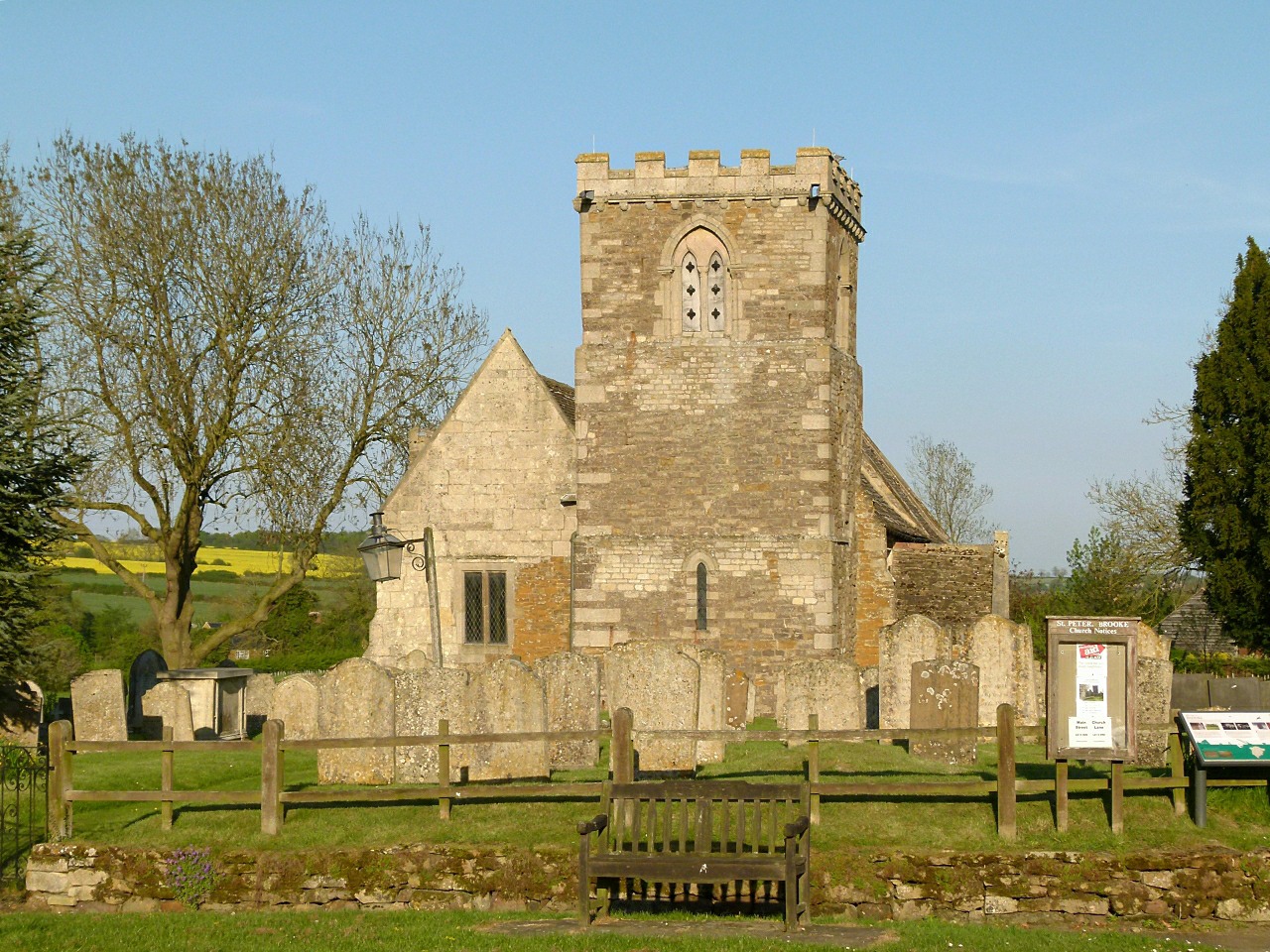
St Peter's Church, Brooke, Rutland
St Peter's Church is a Church of England parish church in Brooke, Rutland. It is a Grade I listed building. == History == The church has a carved doorway...
Brooke, Rutland
Brooke is a village and civil parish in the county of Rutland in the East Midlands of England. It is situated about three miles (4.8 km) southwest of Oakham...
Brooke Priory
Brooke Priory was a minor house of Augustinian monks in Brooke, Rutland. It was a cell of St Mary's Abbey, Kenilworth. == History == It was founded by...

Oakham Urban District
Oakham was an Urban District in Rutland, England from 1911 to 1974. It was created under the Local Government Act 1894. Oakham Rural District had included...
Related Videos

Reopening
The Blue Ball at Braunston, Oakham, Rutland is Reopening from Friday 10 July 2020.

The Blue Ball At Braunston - Home of Hospitality for 400 Years
The Blue Ball At Braunston Country Pub & Kitchen near Oakham, Rutland.

Visiting The Blue Ball at Braunston - what’s it like after reopening?
Visitor video - sneak preview of what it's like visiting The Blue Ball pub restaurant now? Near Oakham, Rutland LE15 8QS.

30 January 2019
Fires lit and ready to serve you - The Blue Ball at Braunston Country Pub & Kitchen, Oakham, Rutland LE15 8QS 01572 722135.
Nearby Amenities
Located within 500m of 52.64288,-0.747225Have you been to Brooke?
Leave your review of Brooke below (or comments, questions and feedback).