Brooke

Civil Parish in Norfolk South Norfolk

England

Brooke

Howe: Entrance Lane
Howe: Entrance Lane Credit: Michael Garlick

Brooke is a civil parish located in the county of Norfolk, England. Situated approximately 9 miles south of Norwich, the parish covers an area of around 3 square miles. It is a rural community that consists of the village of Brooke and its surrounding countryside.

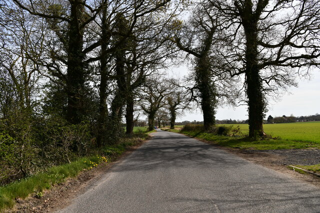
The village of Brooke is small but vibrant, with a population of around 1,400 residents. It has a rich history, dating back to medieval times, and is known for its picturesque setting. The village is surrounded by rolling hills, lush green fields, and scenic woodlands, offering residents and visitors a tranquil and idyllic environment.

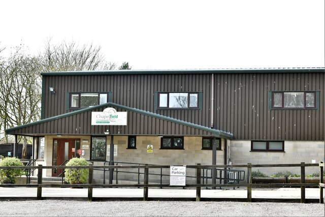
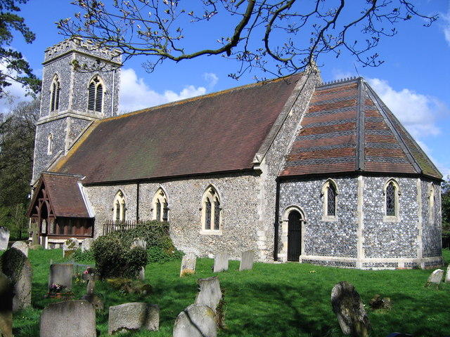
Brooke is well-served by amenities, including a primary school, a church, a village hall, and a pub. The primary school is highly regarded and provides education for local children aged 4 to 11. The church, dedicated to St. Peter, is a beautiful medieval building and serves as the spiritual hub of the community.

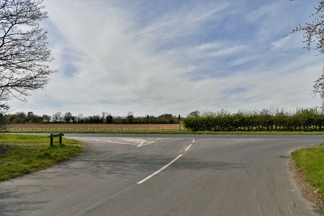
The village also benefits from excellent transport links. The A146 road runs through Brooke, connecting it to Norwich and nearby towns. Public transportation is also available, with regular bus services connecting the village to Norwich and other local areas.

The countryside surrounding Brooke is a haven for nature lovers and outdoor enthusiasts. There are numerous walking and cycling routes, allowing visitors to explore the scenic landscapes and enjoy the fresh air. The area is also home to a variety of wildlife, including birds, mammals, and rare plants.

Overall, Brooke is a charming and peaceful civil parish that offers a high quality of life for its residents and a delightful experience for visitors.

If you have any feedback on the listing, please let us know in the comments section below.
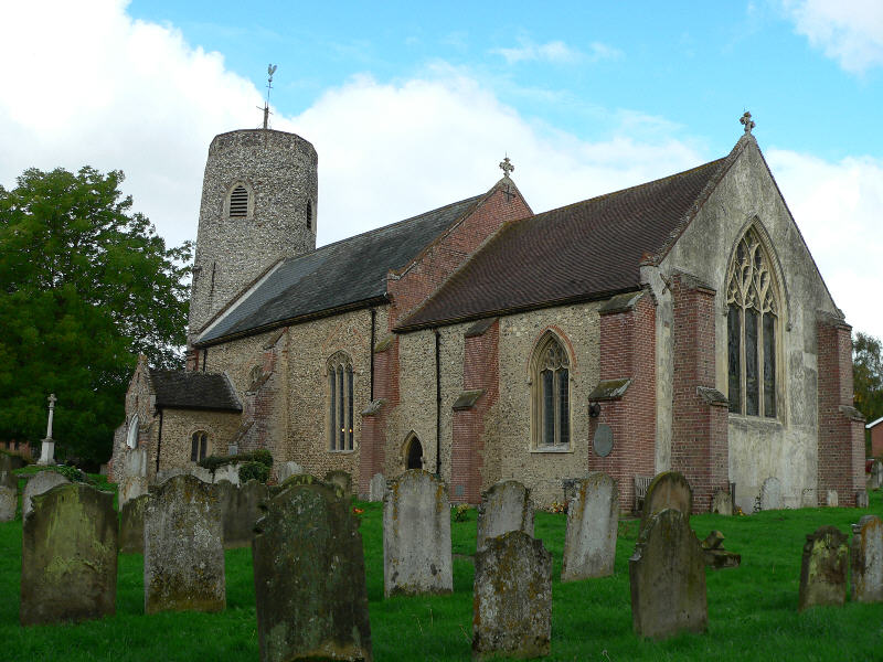
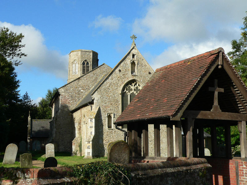
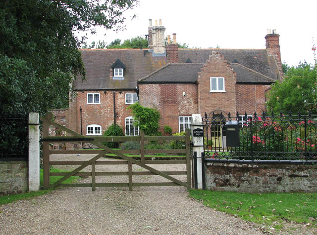
Brooke Images

Images are sourced within 2km of 52.537013/1.366926 or Grid Reference TM2898. Thanks to Geograph Open Source API. All images are credited.

Howe: Entrance Lane
Howe: Entrance Lane
Howe: Entrance Lane/ Norwich Road junction
Brooke: Chapelfield Veterinary Partnership
Brooke: Two ploughed fields
Brooke: Old House Farm
Brooke: Old House Farm sign
Brooke: Junction of Woodton Road and High Green
Brooke: Small pond opposite St. Margaret's Church
Kirstead Green: Kirstead House Farm
Kirstead, St. Margaret's Church: Eastern aspect
Kirstead, St. Margaret's Church: The tower
Kirstead War Memorial
Kirstead, St. Margaret's Church: Right hand capital of the south doorway
Kirstead, St. Margaret's Church: Left hand capital of the south doorway
Kirstead, St. Margaret's Church: South window
Kirstead, St. Margaret's Church: South window left label stop
Show me another place!

Brooke is located at Grid Ref: TM2898 (Lat: 52.537013, Lng: 1.366926)

Administrative County: Norfolk

District: South Norfolk

Police Authority: Norfolk

What 3 Words

///scarf.apparatus.bristle. Near Brooke, Norfolk

Nearby Locations

Six Acre Plantation Brooke

Related Wikis

Howe, Norfolk

Howe is a village and civil parish in South Norfolk, England. It is situated between Poringland, Brooke and Shotesham. It covers an area of 3.20 km2...

Kirstead Green

Kirstead Green is a village in the English county of Norfolk. Administratively it is part of the civil parish of Kirstead within the district of South...

Kirstead

Kirstead is a civil parish in the English county of Norfolk. The main settlement is Kirstead Green. The parish covers an area of 4.19 km2 (1.62 sq mi)...

Brooke, Norfolk

Brooke is a village and civil parish in the South Norfolk district of Norfolk, England, about 7 miles south of Norwich and roughly equidistant from Norwich...

Bergh Apton Anglo-Saxon cemetery

Bergh Apton Anglo-Saxon cemetery is a late-5th to late-6th century Anglo-Saxon burial site discovered at Bergh Apton, Norfolk. The site was excavated in...

Shotesham

Shotesham () is a village in South Norfolk which lies approximately 5 miles south of Norwich. It sits next to Stoke Holy Cross and Saxlingham Nethergate...

Poringland

Poringland is a village in the district of South Norfolk, England. It lies 5 miles (8.0 km) south of Norwich city centre and 10 miles (16 km) north of...

Alpington

Alpington is a village and civil parish in the English county of Norfolk. It is situated about six miles (10 km) south-east of Norwich and is closely associated...

Nearby Amenities

Located within 500m of 52.537013,1.366926
Give Way
Lat/Long: 52.5410575/1.3697675
Bus Stop
Village Sign, adj
Bench: no
Bin: no
Lit: no
Naptan AtcoCode: 2900B535
Naptan Bearing: W
Naptan BusStopType: CUS
Naptan CommonName: Village Sign
Naptan Indicator: adj
Naptan Landmark: village sign
Naptan Locality: Brooke
Naptan NaptanCode: nfoagmdm
Naptan Street: The Street
Naptan Verified: no
Shelter: no
Source: naptan_import
Tactile Paving: yes
Lat/Long: 52.5410346/1.3700803
Place Of Worship
Brooke Methodist Church
Denomination: methodist
Note: Although this is not the parish church the name is correct.
Religion: christian
Lat/Long: 52.5399874/1.3699918
Entrance: main
Lat/Long: 52.5412958/1.367977
Waste Basket
Lat/Long: 52.5408475/1.3665265
Bench
Backrest: yes
Material: wood
Seats: 3
Lat/Long: 52.5407586/1.3663749
Bench
Backrest: yes
Material: wood
Seats: 3
Lat/Long: 52.5408654/1.3665332
Waste Basket
Lat/Long: 52.5408862/1.370009
Waste Basket
Lat/Long: 52.5409331/1.3701823
Waste Basket
Lat/Long: 52.5409955/1.3701931
Brooke
Inscription: 2015
Man Made: village_sign
Material: metal
Start Date: 2015
Lat/Long: 52.5409625/1.3699671
Description: Engraved stone in garden
Historic: memorial
Inscription: Mackintosh Jubilee Garden
Memorial: stone
Year: 2002
Lat/Long: 52.5409792/1.3700704
Bench
Backrest: yes
Material: wood
Seats: 3
Lat/Long: 52.5409009/1.3701273
Bench
Backrest: yes
Material: wood
Seats: 3
Lat/Long: 52.5409413/1.370189
Bench
Backrest: yes
Material: wood
Seats: 3
Lat/Long: 52.5409833/1.3701944
Bench
Backrest: yes
Material: wood
Seats: 3
Lat/Long: 52.5408899/1.3700536
Bench
Backrest: yes
Material: wood
Seats: 3
Lat/Long: 52.5408809/1.3699691
Give Way
Lat/Long: 52.5410379/1.3696514
Entrance: main
Lat/Long: 52.540313/1.366449
Entrance: main
Lat/Long: 52.5403355/1.3665507
Entrance: main
Lat/Long: 52.5402726/1.3666237
Jay-B Bakes @The Café
Phone: +44 1508 550994
Shop: bakery
Website: http://jay-b.co.uk/
Lat/Long: 52.5403238/1.3666297
Waste Basket
Colour: red
Waste: dog_excrement
Lat/Long: 52.5397012/1.3695443
Entrance: main
Lat/Long: 52.5396923/1.3693629
Power: pole
Lat/Long: 52.5391256/1.367413
Power: pole
Lat/Long: 52.538889/1.3686575
Power: pole
Lat/Long: 52.538805/1.3699973
Give Way
Lat/Long: 52.5398957/1.3639333
Public Bookcase
Access: yes
Description: Large boxes of books for swapping.
Opening Hours: 24/7
Lat/Long: 52.5409095/1.3701602
Barrier: kerb
Kerb: lowered
Tactile Paving: yes
Lat/Long: 52.5398989/1.3638175
Give Way
Lat/Long: 52.5401677/1.3627977
Crossing
Crossing: unmarked
Crossing Island: no
Tactile Paving: yes
Lat/Long: 52.539933/1.3638823
Barrier: kerb
Kerb: lowered
Tactile Paving: yes
Lat/Long: 52.5399617/1.3639368
Crossing
Crossing: unmarked
Crossing Island: no
Tactile Paving: yes
Lat/Long: 52.540798/1.3666628
Give Way
Lat/Long: 52.5407536/1.3666838
Power: pole
Lat/Long: 52.5354826/1.3721721
Power: pole
Lat/Long: 52.5348573/1.3723442
The data included in this document is from www.openstreetmap.org. The data is made available under ODbL.

Have you been to Brooke?

Leave your review of Brooke below (or comments, questions and feedback).