Broadway
Civil Parish in Worcestershire Wychavon
England
Broadway

Broadway is a picturesque village and civil parish located in the county of Worcestershire, England. Situated at the northern edge of the Cotswolds, it lies approximately 35 miles southwest of Birmingham and 100 miles northwest of London. The village is nestled in the Worcestershire Hills, providing stunning panoramic views of the surrounding countryside.
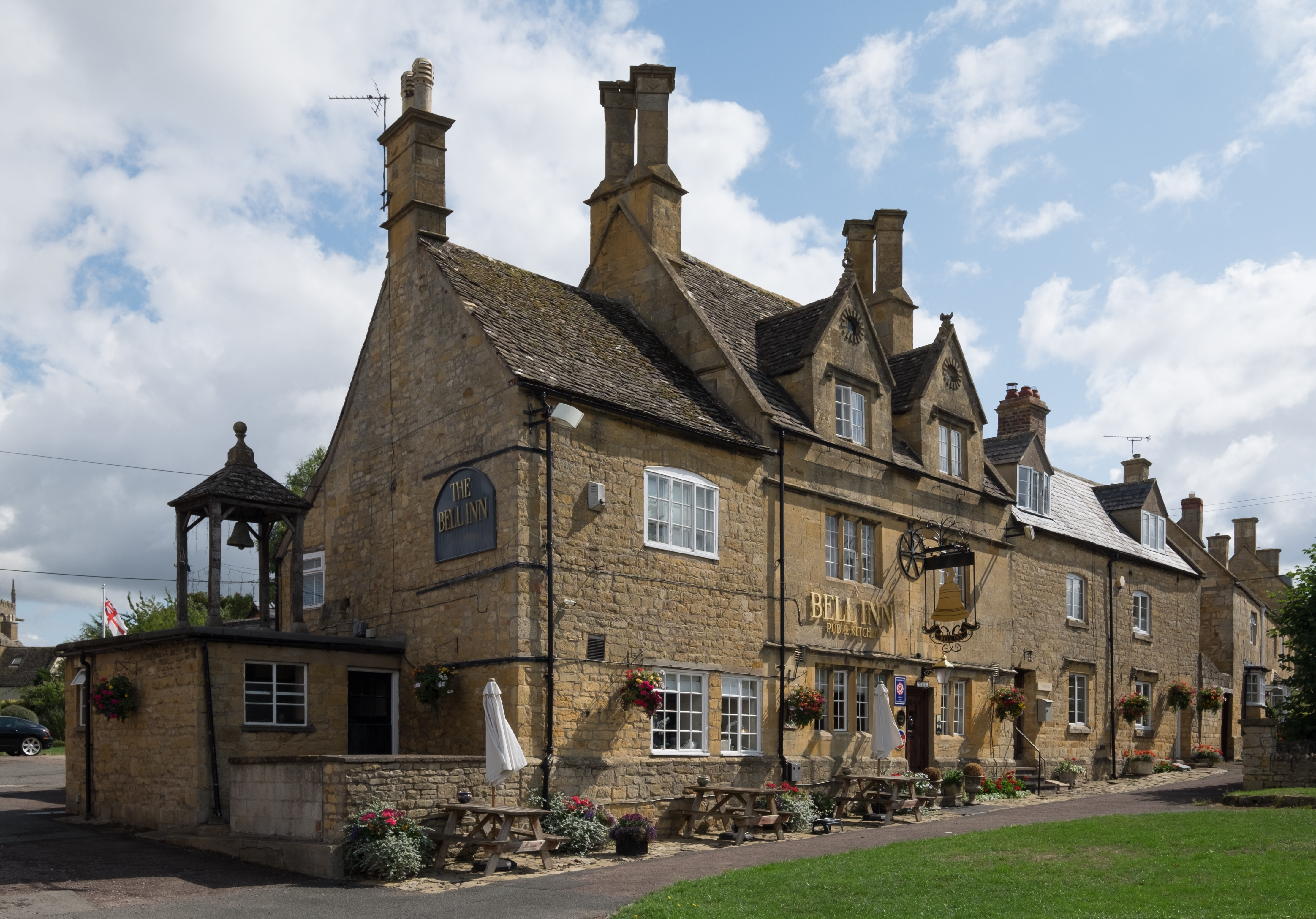
Broadway is renowned for its idyllic setting and charming architecture. The village is characterized by its honey-colored limestone buildings, which date back to the 16th century and have been well-preserved over the years. The main street, known as the High Street, is lined with a variety of independent shops, boutiques, cafes, and traditional pubs, offering visitors a unique and authentic experience.
The village is also home to several notable landmarks and attractions. The Broadway Tower, a historic folly situated atop Beacon Hill, offers commanding views of the surrounding landscape and is a popular destination for tourists. The Gordon Russell Design Museum showcases the works of renowned furniture designer Sir Gordon Russell, who had a significant influence on the Arts and Crafts movement.
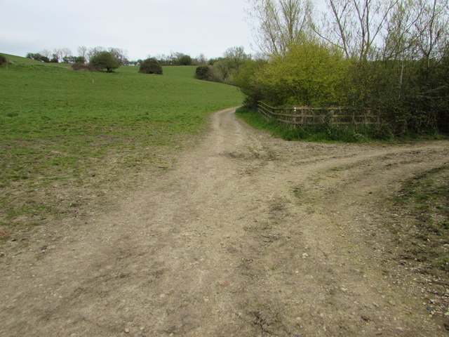
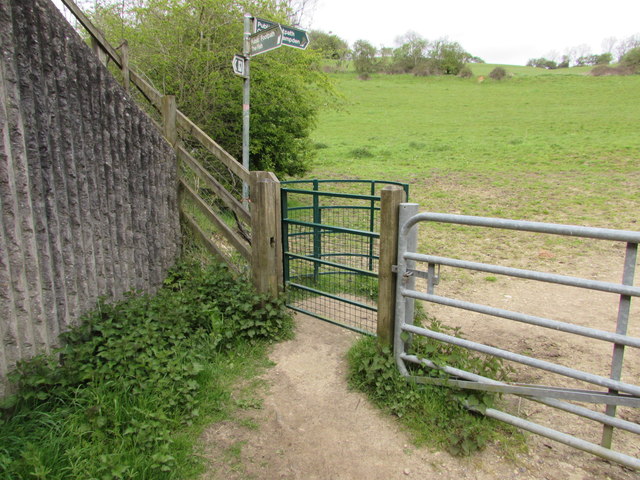
Outdoor enthusiasts are well catered for in Broadway, with numerous walking trails and footpaths crisscrossing the surrounding countryside. The Cotswold Way, a long-distance footpath that stretches from Chipping Campden to Bath, passes through the village, attracting hikers and nature lovers from far and wide.
Broadway truly embodies the quintessential English village, with its picturesque streets, stunning scenery, and rich history. It remains a popular destination for tourists seeking a glimpse into traditional village life in the heart of the Cotswolds.
If you have any feedback on the listing, please let us know in the comments section below.
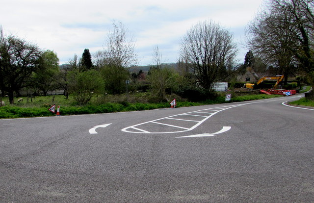
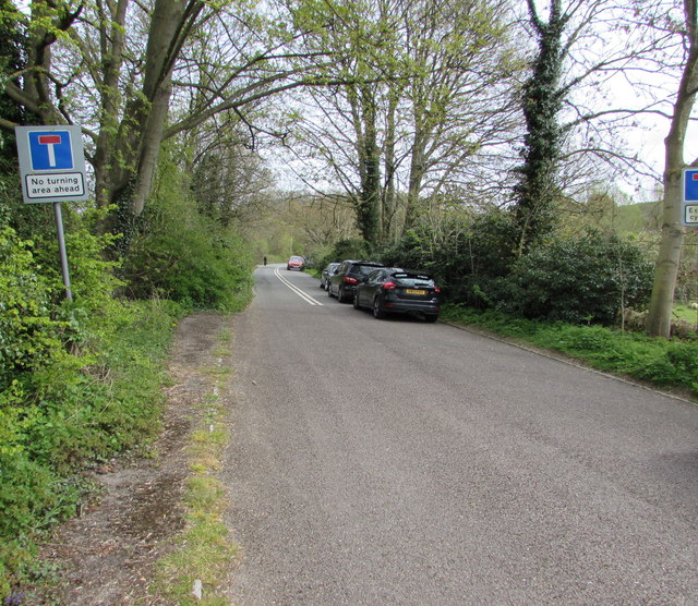
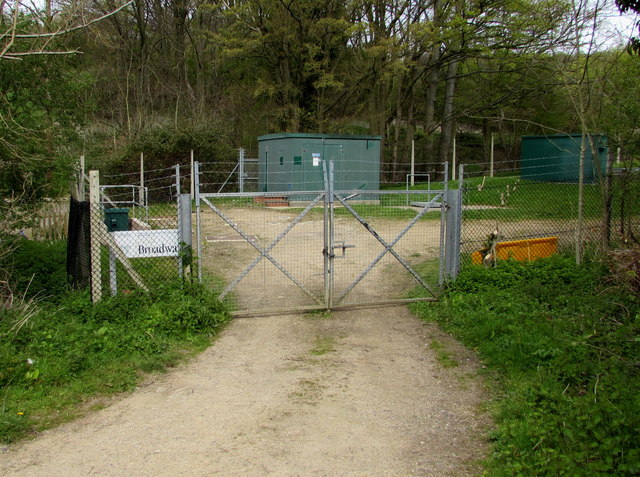
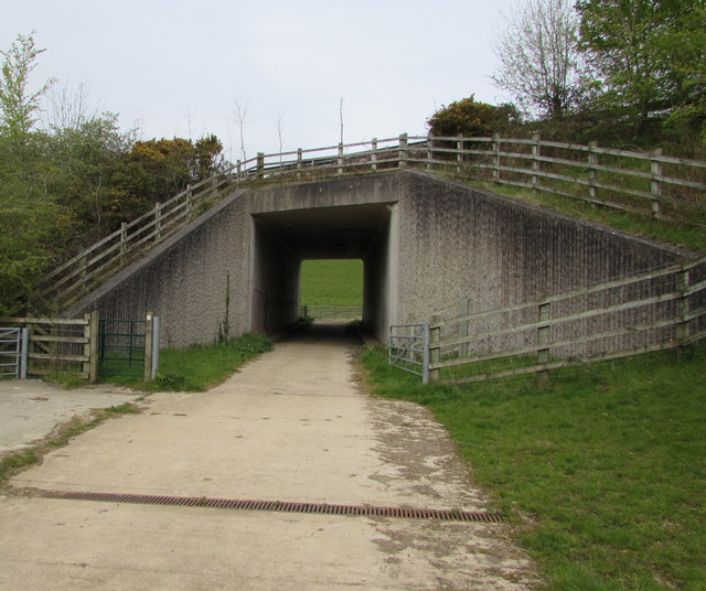
Broadway Images
Images are sourced within 2km of 52.036503/-1.860848 or Grid Reference SP0937. Thanks to Geograph Open Source API. All images are credited.


Broadway is located at Grid Ref: SP0937 (Lat: 52.036503, Lng: -1.860848)
Administrative County: Worcestershire
District: Wychavon
Police Authority: West Mercia
What 3 Words
///wash.dries.deployed. Near Broadway, Worcestershire
Nearby Locations
Related Wikis
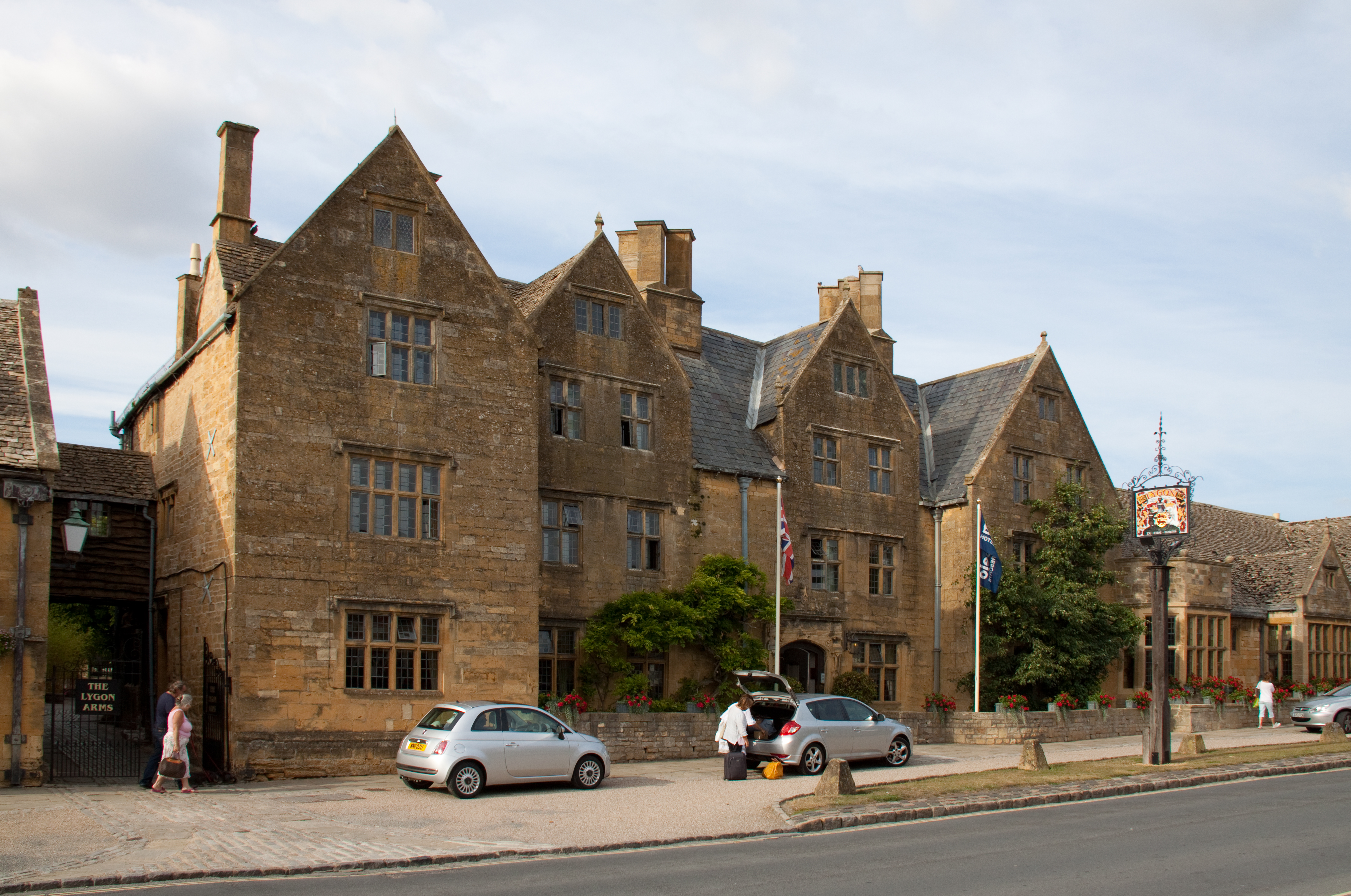
Lygon Arms
The Lygon Arms ( LIG-ən) is a Grade II* listed hotel in Broadway, Worcestershire, originally a coaching inn. The current building dates from the seventeenth...

Broadway War Memorial
The Broadway War Memorial is located on the village green in the village of Broadway in Worcestershire. The memorial marks the deaths of local individuals...

Broadway, Worcestershire
Broadway is a large village and civil parish in the Cotswolds, England, with a population of 2,540 at the 2011 census. It is in the far southeast of Worcestershire...

Broadway railway station
Broadway railway station is a railway station on the heritage Gloucestershire Warwickshire Railway in the village of Broadway in Worcestershire, England...
Willersey
Willersey is a village in Gloucestershire, South West England, situated close to the boundary with Worcestershire, West Midlands region and southwest of...

Buckland, Gloucestershire
Buckland is a village and civil parish in the borough of Tewkesbury, Gloucestershire, England. The parish, which also includes the village of Laverton...

Broadway Tower, Worcestershire
Broadway Tower is an 18th-century folly near the village of Broadway, in the English county of Worcestershire. It is a Grade II listed building.Broadway...

Childswickham
Childswickham is a village in Worcestershire, England, situated within the flat open landscape of the Vale of Evesham, between the Bredon and Cotswold...
Nearby Amenities
Located within 500m of 52.036503,-1.860848Have you been to Broadway?
Leave your review of Broadway below (or comments, questions and feedback).