Broadway
Settlement in Worcestershire Wychavon
England
Broadway
Broadway is a picturesque village located in Worcestershire, England. Situated at the foot of the Cotswold Hills, it is often referred to as the "Jewel of the Cotswolds" due to its stunning natural beauty and charming architecture.
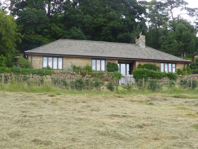
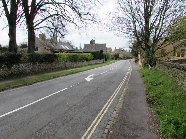
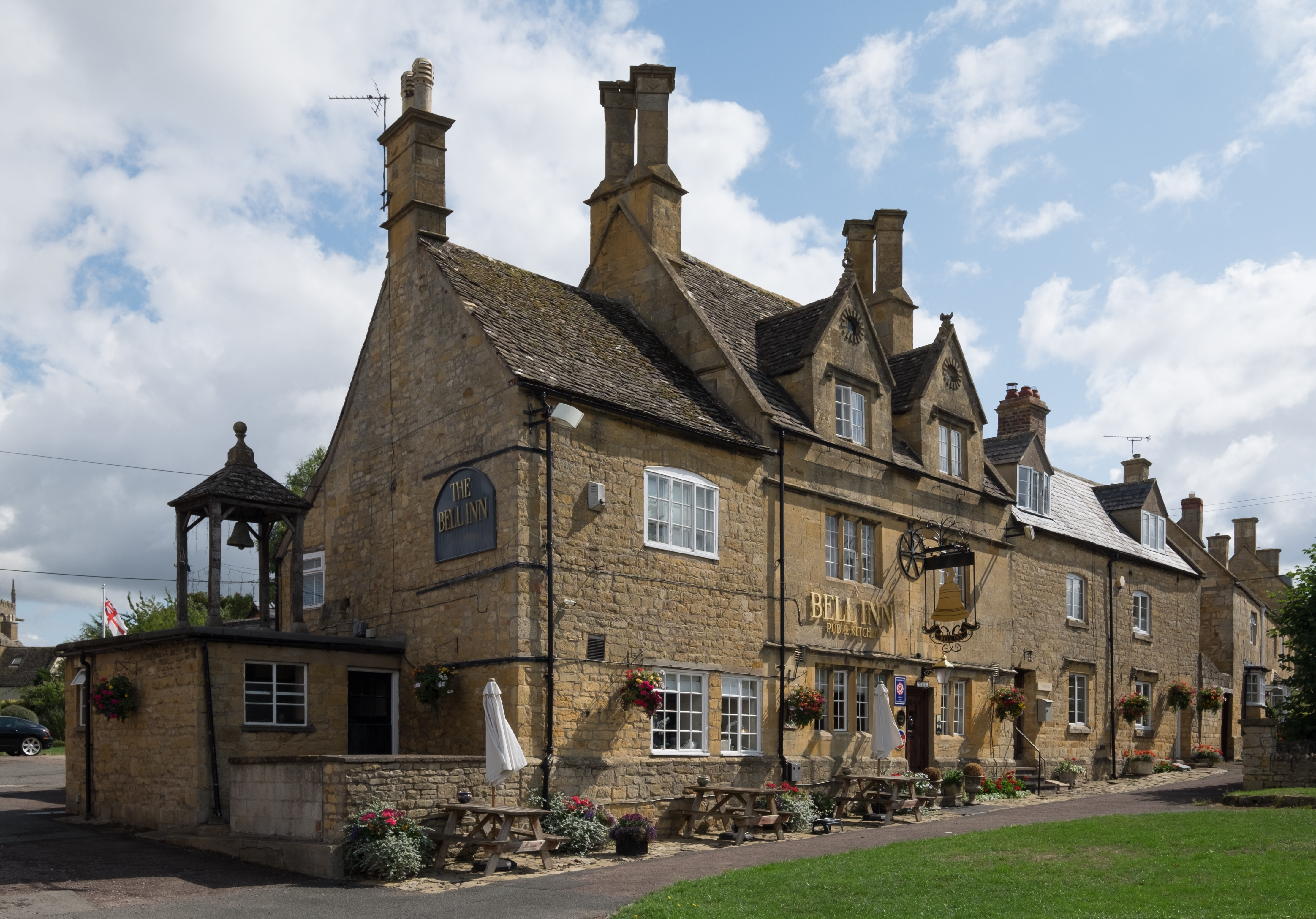
The village features a wide main street lined with honey-colored limestone buildings, quaint cottages, and traditional thatched roofs. Many of these buildings date back to the 16th century, giving Broadway a unique historical character. Notable landmarks include the Lygon Arms, a historic coaching inn that has been welcoming visitors since the 14th century.
Surrounded by rolling hills and lush green countryside, Broadway offers breathtaking views and a tranquil atmosphere. The village is also known for its beautiful gardens, such as the world-renowned Broadway Tower and the award-winning gardens at the nearby Hidcote Manor.
In addition to its natural splendor, Broadway is a vibrant cultural hub. It is home to a thriving arts scene, with several art galleries showcasing local talent, as well as a variety of independent shops, boutiques, and cafes. The village also hosts an annual arts festival, attracting artists and performers from around the region.
Visitors to Broadway can enjoy leisurely walks along the Cotswold Way, explore the nearby picturesque villages, or indulge in the numerous tea rooms and traditional pubs. With its idyllic setting and rich cultural heritage, Broadway offers a quintessential English countryside experience.
If you have any feedback on the listing, please let us know in the comments section below.
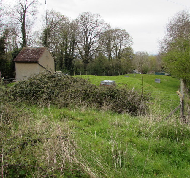
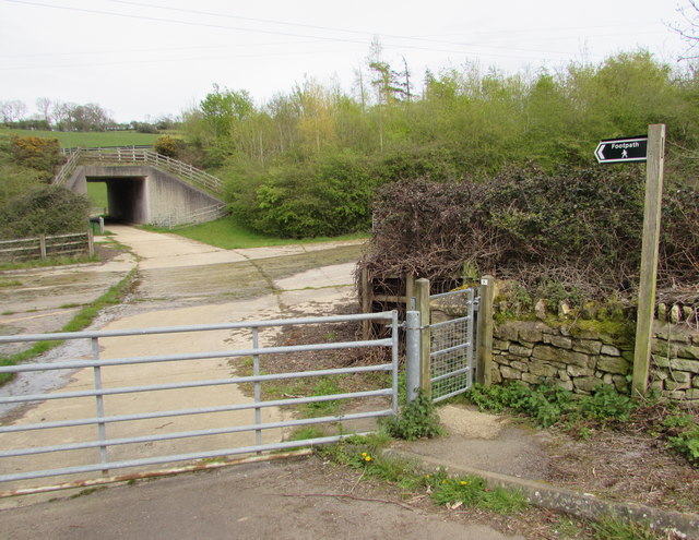
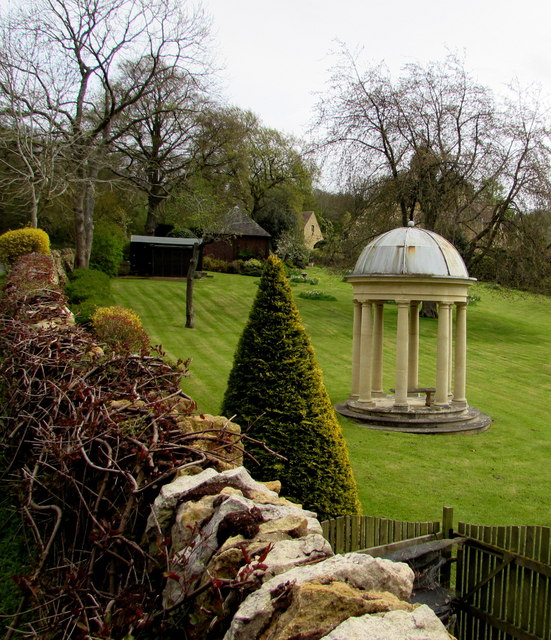
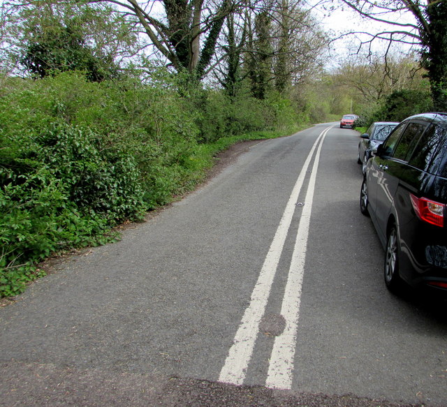
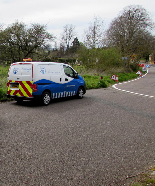
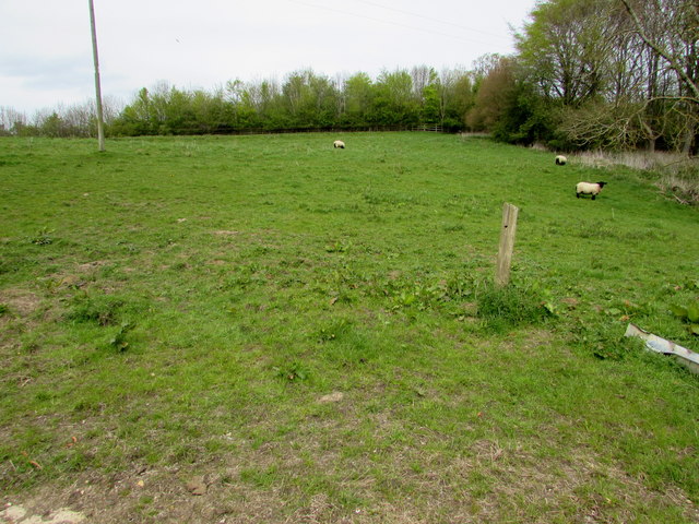
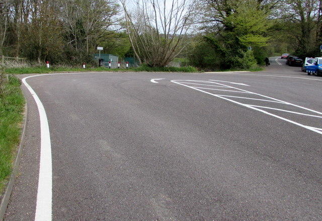
Broadway Images
Images are sourced within 2km of 52.036038/-1.8604298 or Grid Reference SP0937. Thanks to Geograph Open Source API. All images are credited.

Broadway is located at Grid Ref: SP0937 (Lat: 52.036038, Lng: -1.8604298)
Administrative County: Worcestershire
District: Wychavon
Police Authority: West Mercia
What 3 Words
///gasp.slung.besotted. Near Broadway, Worcestershire
Nearby Locations
Related Wikis
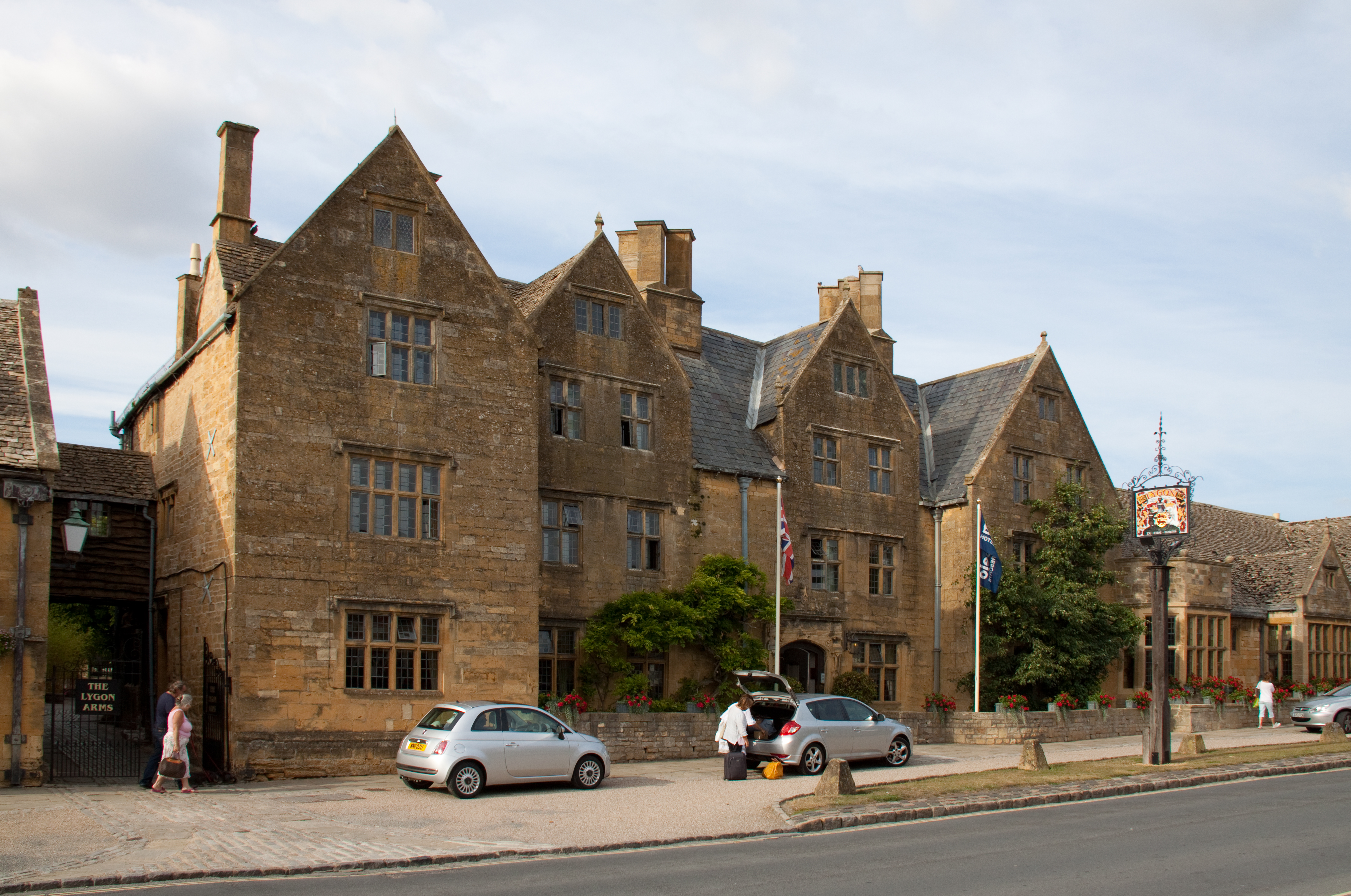
Lygon Arms
The Lygon Arms ( LIG-ən) is a Grade II* listed hotel in Broadway, Worcestershire, originally a coaching inn. The current building dates from the seventeenth...

Broadway War Memorial
The Broadway War Memorial is located on the village green in the village of Broadway in Worcestershire. The memorial marks the deaths of local individuals...

Broadway, Worcestershire
Broadway is a large village and civil parish in the Cotswolds, England, with a population of 2,540 at the 2011 census. It is in the far southeast of Worcestershire...

Broadway railway station
Broadway railway station is a railway station on the heritage Gloucestershire Warwickshire Railway in the village of Broadway in Worcestershire, England...
Willersey
Willersey is a village in Gloucestershire, South West England, situated close to the boundary with Worcestershire, West Midlands region and southwest of...

Buckland, Gloucestershire
Buckland is a village and civil parish in the borough of Tewkesbury, Gloucestershire, England. The parish, which also includes the village of Laverton...

Broadway Tower, Worcestershire
Broadway Tower is an 18th-century folly near the village of Broadway, in the English county of Worcestershire. It is a Grade II listed building.Broadway...

Childswickham
Childswickham is a village in Worcestershire, England, situated within the flat open landscape of the Vale of Evesham, between the Bredon and Cotswold...
Nearby Amenities
Located within 500m of 52.036038,-1.8604298Have you been to Broadway?
Leave your review of Broadway below (or comments, questions and feedback).