Broadwas

Civil Parish in Worcestershire Malvern Hills

England

Broadwas

Karting at Moat House Farm A Geographer fails miserably to hit the racing line. Again.
Karting at Moat House Farm Credit: Peter Whatley

Broadwas is a civil parish located in the county of Worcestershire, England. Situated approximately 9 miles northwest of the city of Worcester, it is a small rural village surrounded by picturesque countryside. The parish covers an area of around 7 square miles and has a population of approximately 700 residents.

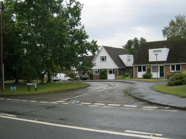
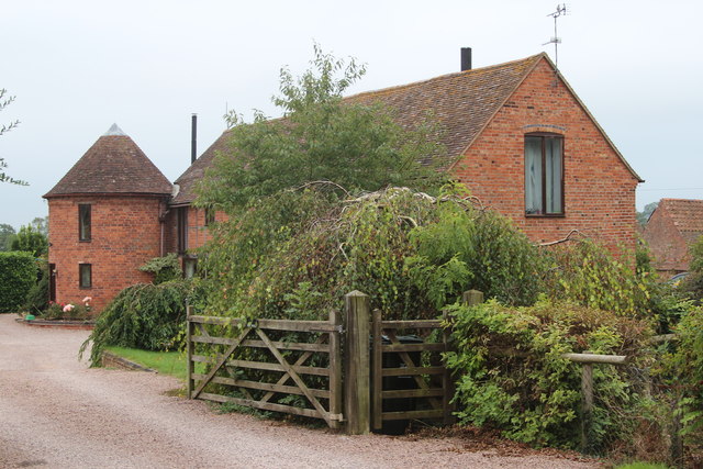
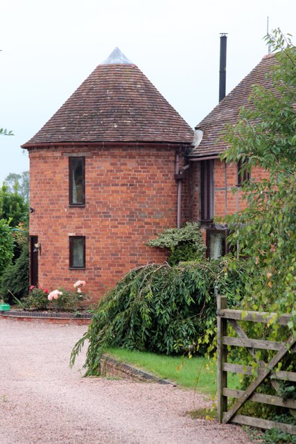
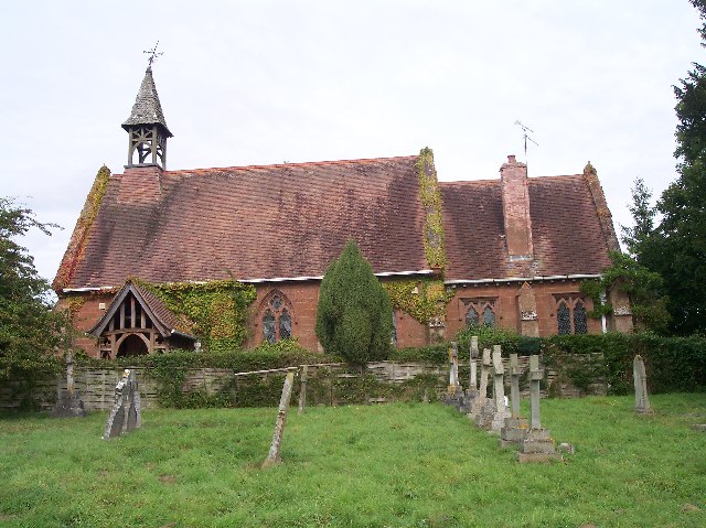
The village of Broadwas is characterized by its charming traditional architecture, with a mix of historical buildings and modern residences. The parish is home to a number of amenities, including a primary school, a village hall, and a parish church. The church, dedicated to St. Mary Magdalene, is a notable feature of the village, with its beautiful stained glass windows and historic bell tower.

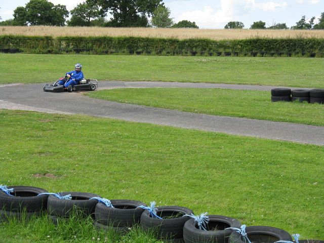
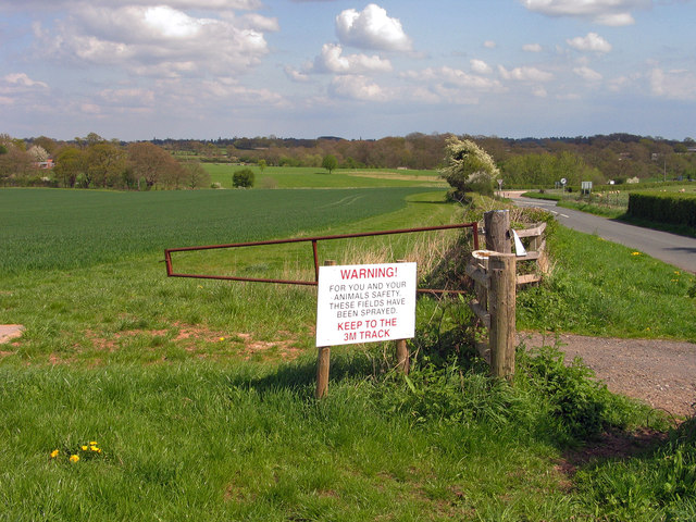
The surrounding countryside offers ample opportunities for outdoor activities, with numerous walking and cycling trails meandering through the lush green fields and woodlands. The nearby River Teme also provides opportunities for fishing and boating enthusiasts.

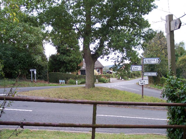
Broadwas is well-connected to other parts of Worcestershire and the wider region. The village is located just off the A44 road, which provides easy access to Worcester, Hereford, and the M5 motorway. The nearby Worcester Foregate Street railway station offers regular train services to Birmingham, London, and other major cities.

Overall, Broadwas is a peaceful and picturesque parish, offering a tranquil rural lifestyle within easy reach of urban amenities. Its beautiful surroundings, strong community spirit, and convenient location make it an attractive place to live or visit in Worcestershire.

If you have any feedback on the listing, please let us know in the comments section below.

Broadwas Images

Images are sourced within 2km of 52.199537/-2.346326 or Grid Reference SO7655. Thanks to Geograph Open Source API. All images are credited.

Karting at Moat House Farm A Geographer fails miserably to hit the racing line. Again.
Karting at Moat House Farm
A Geographer fails miserably to hit the racing line. Again.
Broadwas Primary School
Taberness Close Broadwas
Field with warning notice at Broadwas Broadwas is a small village bypassed by the A44. The field lies to the east of the settlement and has a permitted bridleway so the notice should not be interpreted as a negative one - the farmer probably needn't have allowed the access that there is. The field is the location of an OS trig point which lies behind the camera position.
Field with warning notice at Broadwas
Broadwas is a small village bypassed by the A44. The field lies to the east of the settlement and has a permitted bridleway so the notice should not be interpreted as a negative one - the farmer probably needn't have allowed the access that there is. The field is the location of an OS trig point which lies behind the camera position.
Lulsley church The former Lulsley church which is now a private residence viewed here from the graveyard which is still in use.
Lulsley church
The former Lulsley church which is now a private residence viewed here from the graveyard which is still in use.
Ash tree and track Ash tree beside a track which is a right of way near Brockamin.
Ash tree and track
Ash tree beside a track which is a right of way near Brockamin.
Hop canes
Hop canes
Muddy path
Muddy path
Geopark Way
Geopark Way
The Hop Kiln, Broadwas Ridge ventilated kiln oast house.
The Hop Kiln, Broadwas
Ridge ventilated kiln oast house.
Oast House at Stone Farm, Broadwas Single square kiln oast house.
Oast House at Stone Farm, Broadwas
Single square kiln oast house.
Oast House at Stone Farm, Broadwas Single square kiln oast house.
Oast House at Stone Farm, Broadwas
Single square kiln oast house.
The Royal Oak, Broadwas
Oast House, Dodenham Hall Twin internal kiln oast house.
Oast House, Dodenham Hall
Twin internal kiln oast house.
The Oast House, Peghouse Farm, Broad Green Single round kiln oast house.
The Oast House, Peghouse Farm, Broad Green
Single round kiln oast house.
 The Oast House, Peghouse Farm, Broad Green Single round kiln oast house.
The Oast House, Peghouse Farm, Broad Green
Single round kiln oast house.
Cows by Willow Road
Cows by Willow Road
Show me another place!

Broadwas is located at Grid Ref: SO7655 (Lat: 52.199537, Lng: -2.346326)

Administrative County: Worcestershire

District: Malvern Hills

Police Authority: West Mercia

What 3 Words

///mouse.symphony.flattery. Near Lower Broadheath, Worcestershire

Nearby Locations

Broadwas Broadwas

Related Wikis

Broadwas

Broadwas, or Broadwas-on-Teme, is a village and civil parish (with Cotheridge) in the Malvern Hills district of Worcestershire, England. According to...

Doddenham

Doddenham is a hamlet and civil parish (with Knightwick) in the Malvern Hills district in the county of Worcestershire, England. Doddenham was in the...

Stanford with Orleton

Stanford with Orleton is a civil parish in the Malvern Hills district, in the county of Worcestershire, England. The parish comprises the villages of Stanford...

Lulsley

Lulsley is a village and civil parish in the Malvern Hills District of the county of Worcestershire, England, UK. == History == Lulsley was in the upper...

Malvern Hills District

Malvern Hills is a local government district in Worcestershire, England. Its council is based in the town of Malvern, and its area covers most of the western...

Cotheridge

Cotheridge is a village and civil parish in the district of Malvern Hills in the county of Worcestershire, England. It is 4 miles (6 km) west of the...

Cotheridge Court

Cotheridge Court is a Grade II* listed ancient manor house situated in the south-western part of Cotheridge, in the county of Worcestershire, England,...

St Leonard's Church, Cotheridge

St. Leonard's Church is a small, 12th-century church located in the scattered village of Cotheridge in Worcestershire. It stands not far from the manor...

Nearby Amenities

Located within 500m of 52.199537,-2.346326
Power: tower
Lat/Long: 52.1995873/-2.3516167
Power: tower
Lat/Long: 52.2015041/-2.3464884
Power: tower
Lat/Long: 52.2026945/-2.3433075
Barrier: stile
Lat/Long: 52.2035057/-2.3436609
Power: pole
Lat/Long: 52.2038987/-2.3452804
Broad Green
Man Made: survey_point
Ref: S3822
Tpuk Ref: TP1644
Lat/Long: 52.1988646/-2.3401122
Little Green
Place: hamlet
Lat/Long: 52.1982089/-2.3421058
Power: pole
Lat/Long: 52.1962426/-2.351203
Noxons Farm
Power: pole
Transformer: distribution
Voltage Primary: 11000
Lat/Long: 52.1958973/-2.3484711
Power: pole
Lat/Long: 52.1964843/-2.349084
Power: pole
Lat/Long: 52.1968139/-2.3500302
Stoney Lea
Power: pole
Transformer: distribution
Voltage Primary: 11000
Lat/Long: 52.199741/-2.3531295
Power: pole
Lat/Long: 52.1996034/-2.352302
Power: pole
Lat/Long: 52.1991188/-2.3515986
Power: pole
Lat/Long: 52.1985689/-2.3507778
Power: pole
Lat/Long: 52.1979573/-2.3498753
Power: pole
Lat/Long: 52.1973351/-2.3489767
Power: pole
Lat/Long: 52.1978455/-2.3479387
Power: pole
Lat/Long: 52.1980247/-2.3470549
Power: pole
Lat/Long: 52.1982631/-2.3459391
Butts Bank
Power: pole
Transformer: distribution
Voltage Primary: 11000
Lat/Long: 52.1973203/-2.3438685
Power: pole
Lat/Long: 52.1976055/-2.3440401
Power: pole
Lat/Long: 52.1985286/-2.3446195
Power: pole
Lat/Long: 52.1987604/-2.3434326
Little Green
Power: pole
Transformer: distribution
Voltage Primary: 11000
Lat/Long: 52.1983067/-2.341826
Power: pole
Lat/Long: 52.1990448/-2.3421773
Power: pole
Lat/Long: 52.1992265/-2.3413794
Power: pole
Lat/Long: 52.1994723/-2.3403159
Power: pole
Lat/Long: 52.1998759/-2.3393087
The data included in this document is from www.openstreetmap.org. The data is made available under ODbL.

Have you been to Broadwas?

Leave your review of Broadwas below (or comments, questions and feedback).