Broadstairs and St. Peters
Civil Parish in Kent Thanet
England
Broadstairs and St. Peters

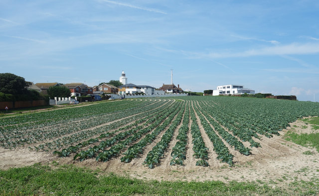
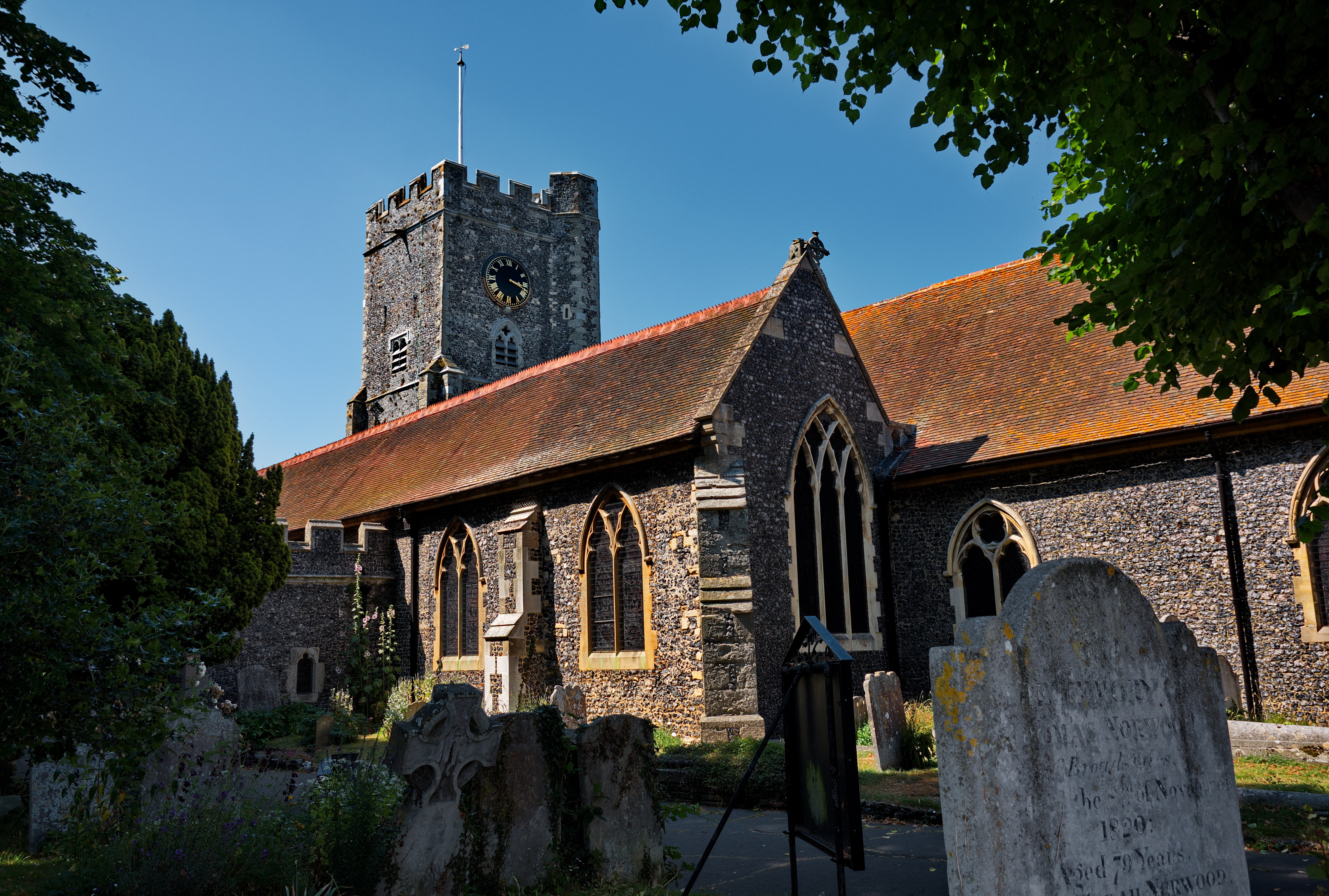
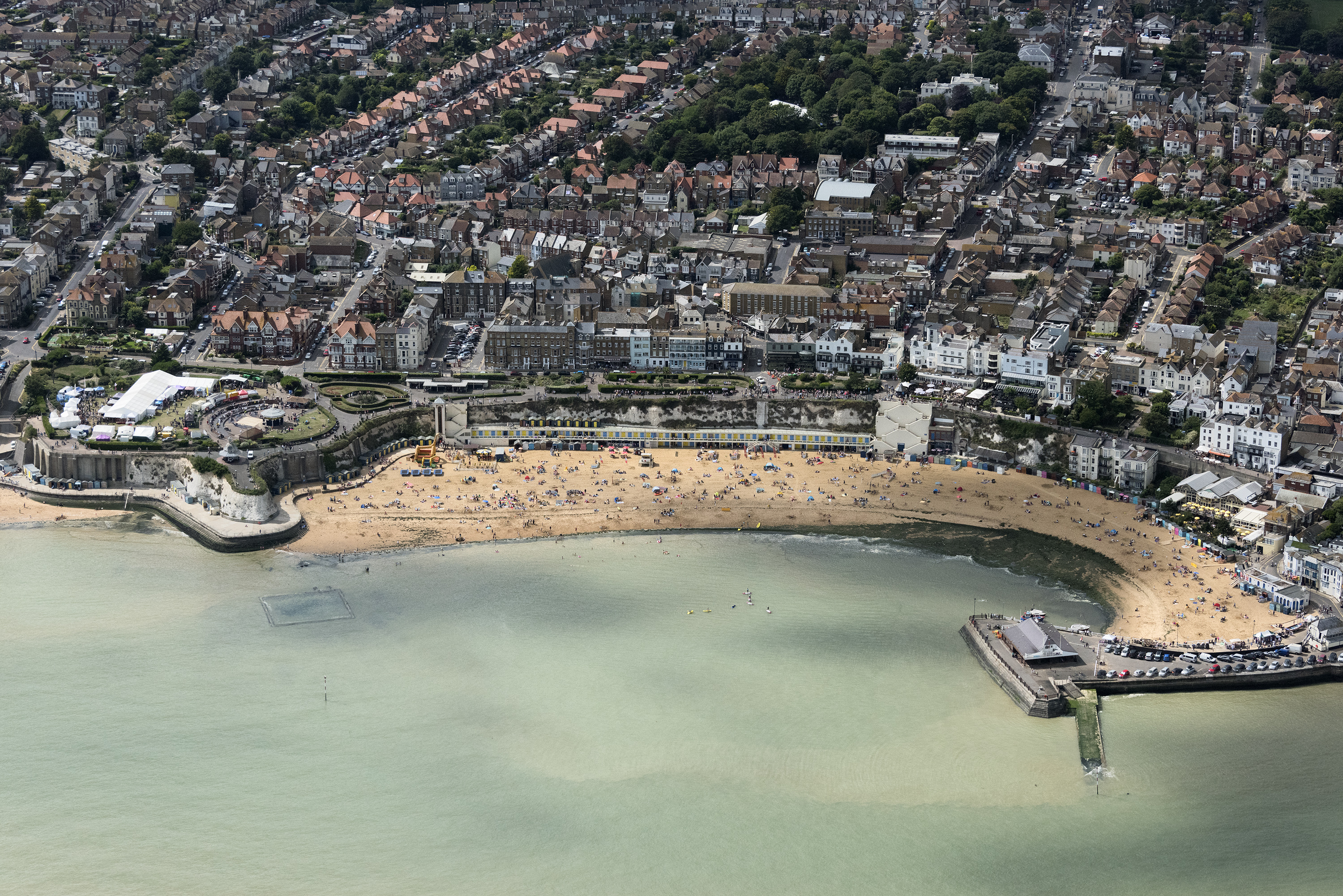
Broadstairs and St. Peters is a civil parish located in the district of Thanet in Kent, England. It is situated on the coast of the English Channel, approximately 80 miles southeast of London. The parish encompasses the seaside towns of Broadstairs and St. Peters, which are popular tourist destinations known for their sandy beaches, Victorian architecture, and charming atmosphere.
Broadstairs is a picturesque town with a rich maritime history. It features a quaint harbor and a bustling town center filled with independent shops, cafes, and restaurants. The town is famous for its annual folk festival, which attracts musicians and visitors from all over the country. Viking Bay, one of the town's main beaches, offers stunning views of the coastline and is a favorite spot for sunbathing and swimming.
St. Peters, on the other hand, is a residential area located slightly inland from Broadstairs. It is known for its residential housing estates, schools, and community facilities. St. Peters has a friendly and welcoming atmosphere, with several parks and green spaces for outdoor activities. The area also has its own selection of shops, pubs, and restaurants, catering to the needs of its residents.
Both Broadstairs and St. Peters boast excellent transport links, with regular train services connecting them to London and other nearby towns. The parish is also well-connected by road, with the A299 Thanet Way providing easy access to the rest of Kent.
Overall, Broadstairs and St. Peters offer a unique blend of coastal beauty, historical charm, and modern amenities, making it a desirable place to live and visit.
If you have any feedback on the listing, please let us know in the comments section below.
Broadstairs and St. Peters Images
Images are sourced within 2km of 51.365747/1.42691 or Grid Reference TR3868. Thanks to Geograph Open Source API. All images are credited.


Broadstairs and St. Peters is located at Grid Ref: TR3868 (Lat: 51.365747, Lng: 1.42691)
Administrative County: Kent
District: Thanet
Police Authority: Kent
What 3 Words
///expect.winter.bliss. Near St Peters, Kent
Nearby Locations
Related Wikis

Broadstairs and St Peter's
Broadstairs and St Peter's is a civil parish in the Thanet district of Kent, England. The parish comprises the settlements of Broadstairs, St Peter's and...
St Peter's, Kent
St Peter's is an area of Broadstairs, a town on the Isle of Thanet in Kent. Historically a village, it was outgrown by the long-dominant settlement of...
The Charles Dickens School
The Charles Dickens School is a co-educational secondary modern school located in Broadstairs in the English county of Kent. The school is named after...
Thanet power station
Thanet power station, also known as St. Peter's power station, supplied electricity to the towns of Broadstairs and Margate and other locations on the...
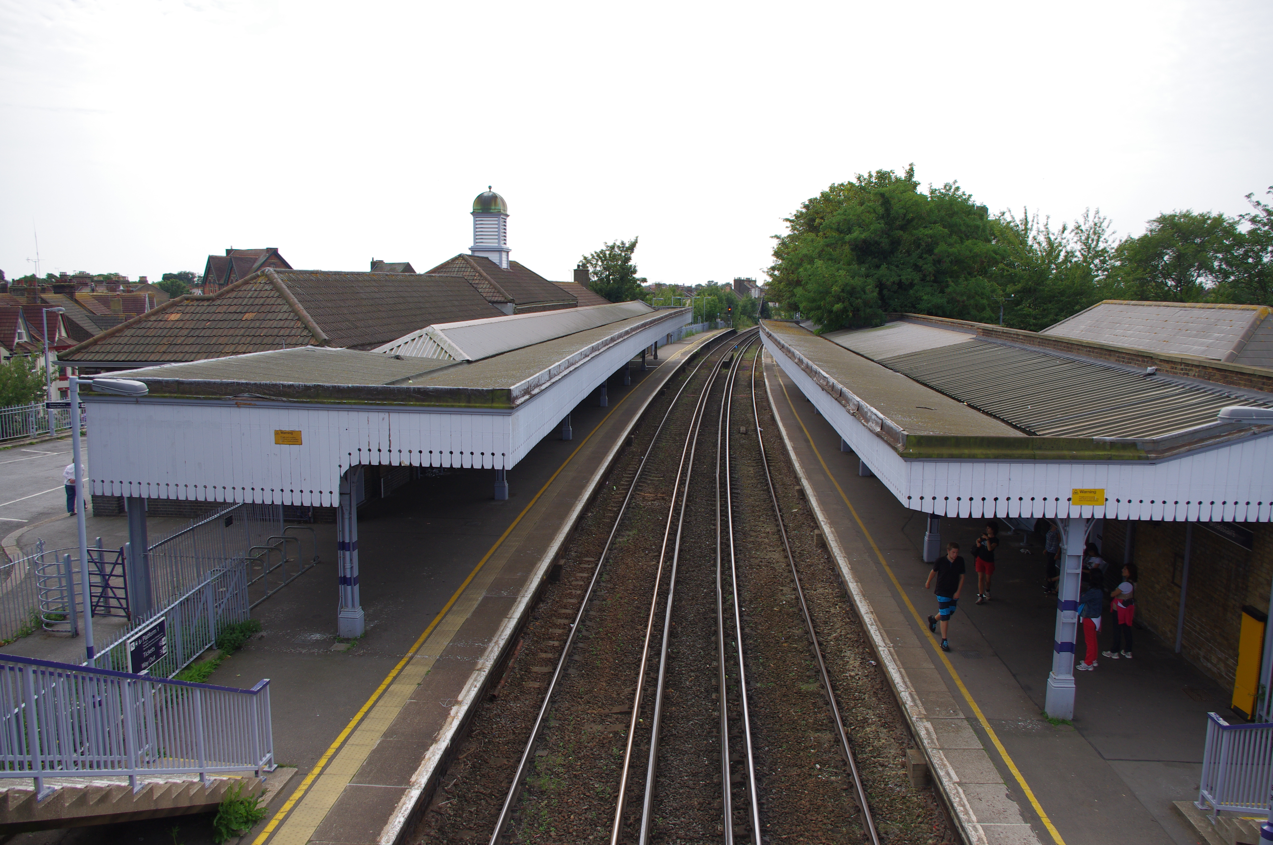
Broadstairs railway station
Broadstairs railway station is on the Chatham Main Line in England, serving the seaside town of Broadstairs, Kent. It is 77 miles 9 chains (124 km) down...
Dane Court Grammar School
Dane Court Grammar School is a coeducational grammar school with academy status in Broadstairs, Kent, UK with approximately 1,249 pupils. == History... ==
Wellesley House School
Wellesley Haddon Dene School is a private day and boarding preparatory school in the coastal town of Broadstairs in the English county of Kent. Founded...
Broadstairs
Broadstairs is a coastal town on the Isle of Thanet in the Thanet district of east Kent, England, about 80 miles (130 km) east of London. It is part of...
Nearby Amenities
Located within 500m of 51.365747,1.42691Have you been to Broadstairs and St. Peters?
Leave your review of Broadstairs and St. Peters below (or comments, questions and feedback).