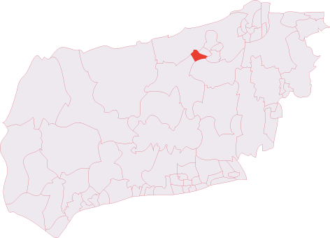
Broadbridge Heath
Civil Parish in Sussex Horsham
England
Broadbridge Heath
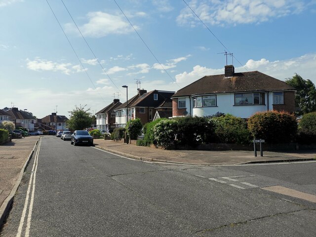
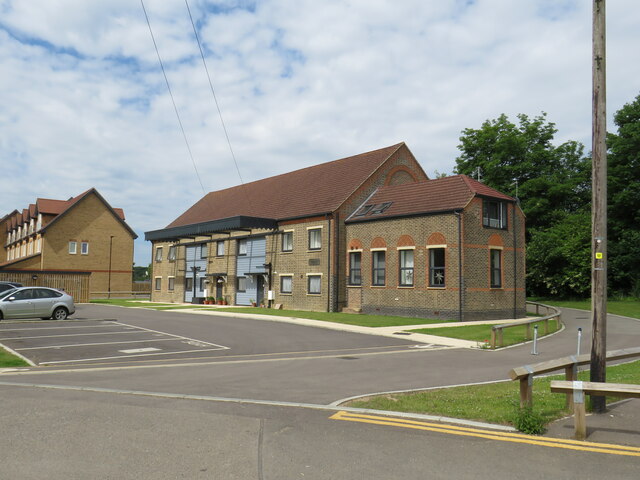
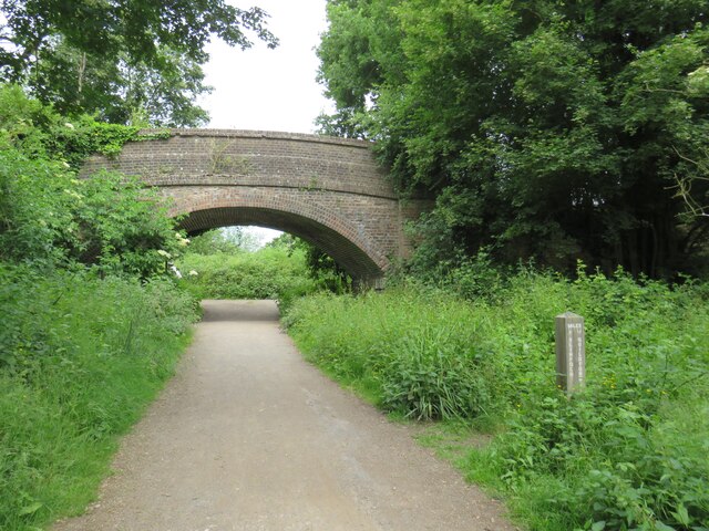
Broadbridge Heath is a civil parish located in the district of Horsham, West Sussex, England. It is situated approximately three miles west of Horsham town center and covers an area of around 6 square miles. The parish is primarily residential, with a mix of housing types ranging from modern developments to historic cottages.
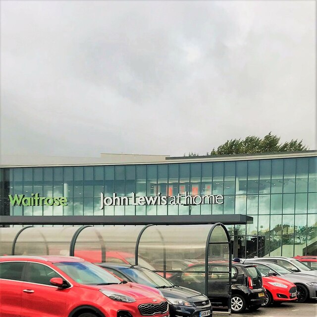
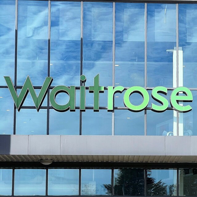
The village of Broadbridge Heath itself is the largest settlement within the parish and has a population of around 6,000 residents. It is well-served by local amenities, including a shopping center with a supermarket, retail outlets, and a range of services such as a post office and a pharmacy. There are also several pubs, restaurants, and takeaway establishments in the area.
Broadbridge Heath is known for its excellent transportation links. The A281 road passes through the parish, connecting it to Horsham and nearby destinations such as Guildford and Brighton. The village is also served by a regular bus service, providing convenient access to surrounding areas.
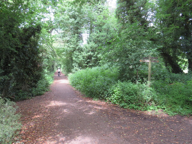
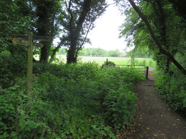
The parish is home to several green spaces and recreational facilities. Broadbridge Heath Leisure Centre offers a variety of sports facilities, including a swimming pool, gym, and sports halls. There are also several parks and playing fields, providing opportunities for outdoor activities and leisurely walks.
Overall, Broadbridge Heath is a thriving residential area with a range of amenities, good transport links, and a strong sense of community.
If you have any feedback on the listing, please let us know in the comments section below.
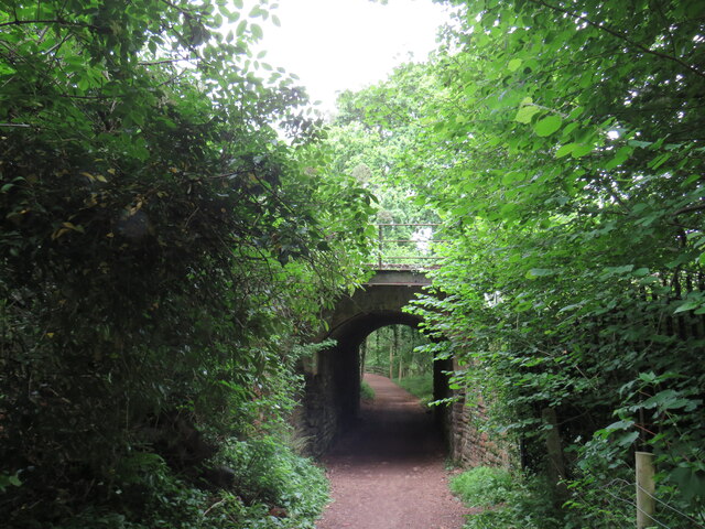
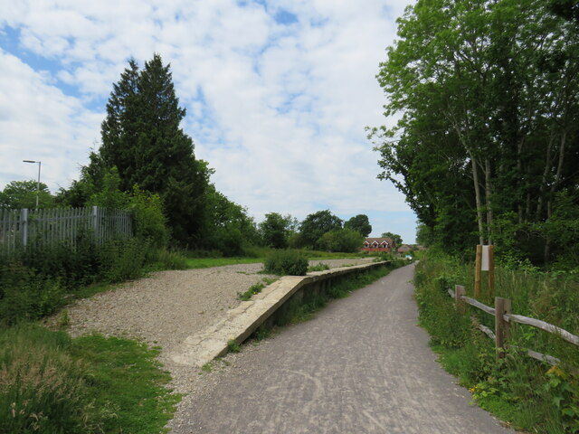
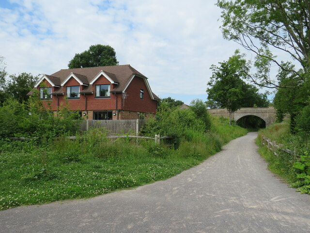
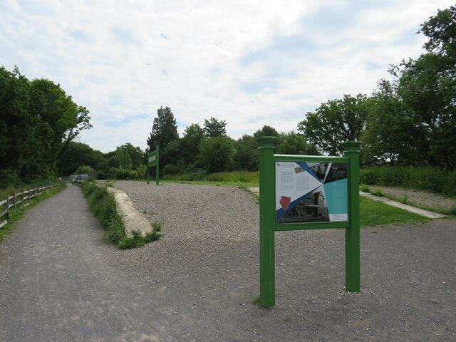
Broadbridge Heath Images
Images are sourced within 2km of 51.064613/-0.362765 or Grid Reference TQ1430. Thanks to Geograph Open Source API. All images are credited.


Broadbridge Heath is located at Grid Ref: TQ1430 (Lat: 51.064613, Lng: -0.362765)
Administrative County: West Sussex
District: Horsham
Police Authority: Sussex
What 3 Words
///will.sport.scuba. Near Horsham, West Sussex
Nearby Locations
Related Wikis

Broadbridge Heath F.C.
Broadbridge Heath Football Club is a football club based in Broadbridge Heath, near Horsham, in West Sussex, England. They are currently members of the...
Horsham Tanbridge & Broadbridge Heath (electoral division)
Horsham Tanbridge & Broadbridge Heath is an electoral division of West Sussex in England, and returns one member to sit on West Sussex County Council....

Broadbridge Heath
Broadbridge Heath is a village and civil parish in the Horsham district of West Sussex, England. It is about two miles (3 km) west from the historic centre...
Tanbridge House School
Tanbridge House School is a coeducational secondary school located in Horsham, West Sussex, England. Its current head master is Mr Sheridan who started...

Field Place, Warnham
Field Place is a Grade I listed house in Warnham, West Sussex, England. It is the birthplace of the poet Percy Bysshe Shelley, born there in 1792. The...
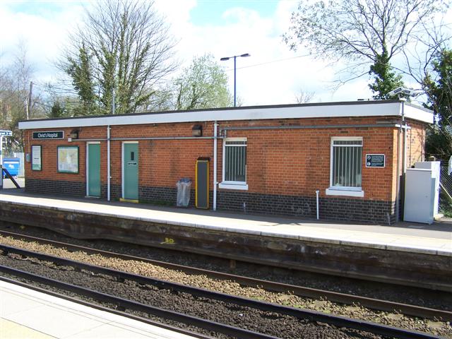
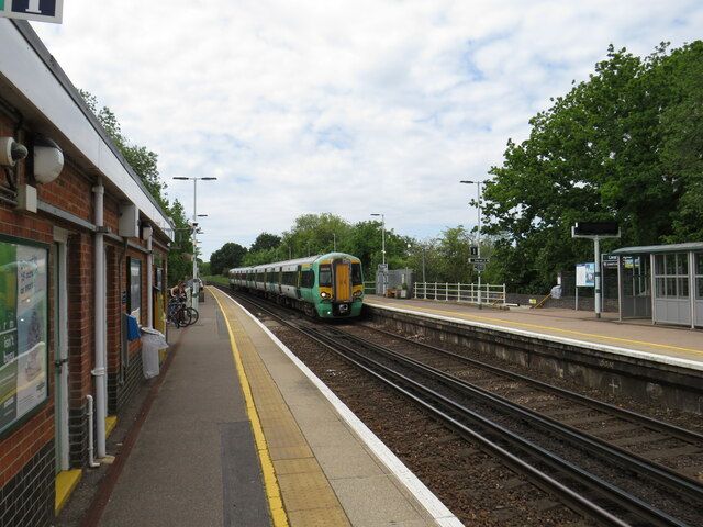
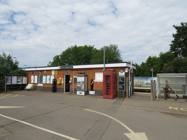
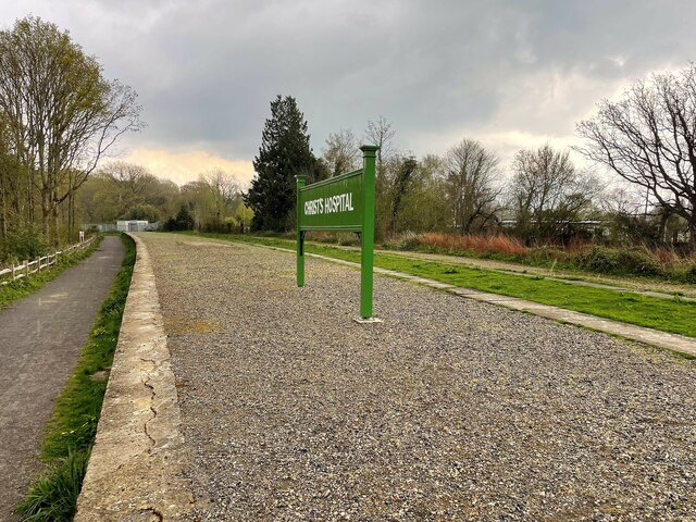
Christ's Hospital railway station
Christ's Hospital railway station is near Horsham in West Sussex, England. It is 40 miles 7 chains (64.5 km) down the line from London Bridge via Redhill...

Horsham Unitarian Church
Horsham Unitarian Church (formerly Horsham General Baptist Chapel) is a Unitarian chapel in Horsham in the English county of West Sussex. It was founded...

Rising Universe
Rising Universe, more commonly known locally as the Shelley Fountain, was a large kinetic water sculpture in Horsham, West Sussex, England. It was created...
Nearby Amenities
Located within 500m of 51.064613,-0.362765Have you been to Broadbridge Heath?
Leave your review of Broadbridge Heath below (or comments, questions and feedback).