Broad Town
Civil Parish in Wiltshire
England
Broad Town

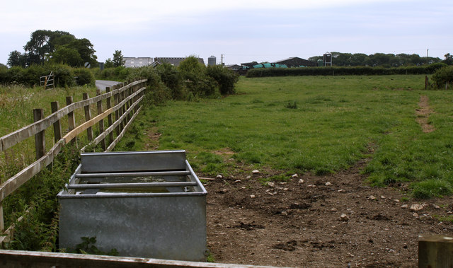
Broad Town is a civil parish located in the county of Wiltshire, England. It is situated approximately 6 miles northwest of the town of Swindon and covers an area of around 5 square miles. The parish is part of the North Wiltshire District and is surrounded by the picturesque countryside of the Marlborough Downs.
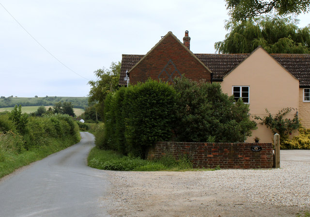
The village of Broad Town is a small and close-knit community with a population of around 900 residents. It is known for its charming rural setting and tranquil atmosphere. The parish is predominantly residential, with a mix of traditional stone cottages and modern houses.
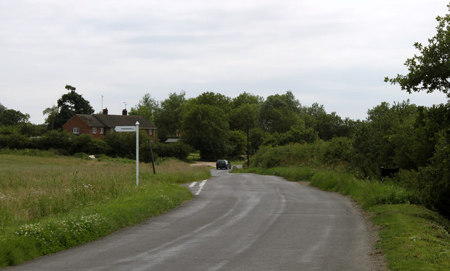
Broad Town is well-connected, with good road links to nearby towns and cities. It is located just off the A4361 road, which provides easy access to Swindon and the M4 motorway. The village also benefits from regular bus services, allowing residents to easily commute to surrounding areas.
The community in Broad Town is vibrant and active, with a range of amenities and activities for residents to enjoy. These include a village hall, a primary school, a church, and a local pub. The village also hosts various events throughout the year, such as fêtes and community gatherings.
The surrounding countryside offers ample opportunities for outdoor activities, including walking, cycling, and horse riding. The nearby ancient hill fort of Barbury Castle is a popular destination for visitors, offering panoramic views of the surrounding landscape.
Overall, Broad Town is a charming and picturesque civil parish that offers a peaceful rural lifestyle with convenient access to nearby amenities and transport links.
If you have any feedback on the listing, please let us know in the comments section below.
Broad Town Images
Images are sourced within 2km of 51.510799/-1.872801 or Grid Reference SU0879. Thanks to Geograph Open Source API. All images are credited.

![2011 : South of east from the Bushton road A field of mowing grass and thistles, about ready for cutting even if only to get rid of the thistles.
Away in the distance near the top of the escarpment a white horse (grey actually) is carved into the hillside [<a href="https://www.geograph.org.uk/gridref/SU0978">SU0978</a>]](https://s1.geograph.org.uk/geophotos/02/51/51/2515189_8ab12250.jpg)


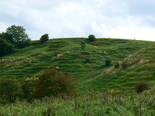
![Four ways to go [1] At the bottom of the gully near the foot of the escarpment, there are four ways to go. This is the way into the gully leading back up the escarpment.](https://s2.geograph.org.uk/geophotos/03/10/27/3102702_f0374152.jpg)
![Four ways to go [2] At the bottom of the gully near the foot of the escarpment, there are four ways to go. This is the path leading north along the bottom of the escarpment and along the edge of Bincknoll Wood.](https://s1.geograph.org.uk/geophotos/03/10/37/3103773_e3f94cbc.jpg)
![Four ways to go [3] At the bottom of the gully near the foot of the escarpment, there are four ways to go. This is the path heading south along the bottom of the escarpment. Heavy rain was sweeping in.](https://s3.geograph.org.uk/geophotos/03/10/37/3103783_b345fc2d.jpg)


Broad Town is located at Grid Ref: SU0879 (Lat: 51.510799, Lng: -1.872801)
Unitary Authority: Wiltshire
Police Authority: Wiltshire
What 3 Words
///seat.daily.loss. Near Royal Wootton Bassett, Wiltshire
Nearby Locations
Related Wikis
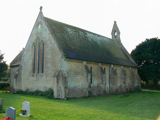
Christ Church, Broad Town
Christ Church is the parish church of the village of Broad Town in Wiltshire, England. Constructed between 1844 and 1846 as a late Commissioners' church...

Goldborough Farm Meadows
Goldborough Farm Meadows (grid reference SU086800) is a 10.32 hectare biological Site of Special Scientific Interest in Wiltshire, England. == Sources... ==
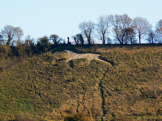
Broad Town White Horse
Broad Town White Horse is a hill figure of a white horse located in the village of Broad Town, Wiltshire, England. One of eight canonical hill figures...
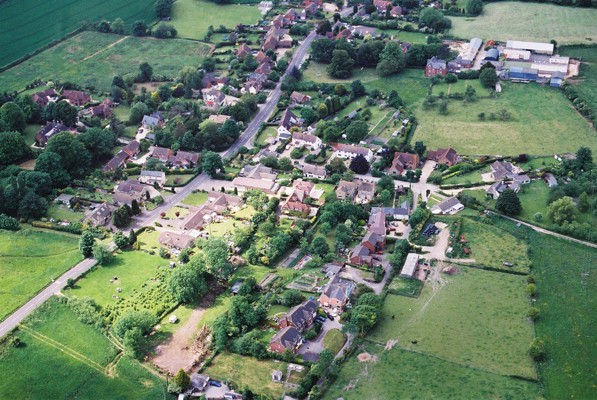
Broad Town
Broad Town is a village and civil parish in Wiltshire, England, about 3 miles (5 km) southeast of Royal Wootton Bassett and 6 miles (10 km) southwest of...
Bincknoll Castle
Bincknoll Castle, or Bincknoll Camp, is the site of a possible Iron Age univallate hillfort in Wiltshire, England. The site lies on the end of a triangular...
Bincknoll Dip Woods
Bincknoll Dip Woods (grid reference SU111796) is a woodland in Wiltshire, England. Two blocks within the site, an area of 5.7 hectare in total, have been...

Church of St Peter, Clyffe Pypard
The Church of St Peter, Clyffe Pypard, Wiltshire is a parish church of the Diocese of Salisbury, England. It dates from the 13th and 15th centuries, and...

Clyffe Pypard
Clyffe Pypard is a village and civil parish about 3+1⁄2 miles (5.6 km) south of Royal Wootton Bassett in North Wiltshire, England.The parish includes the...
Nearby Amenities
Located within 500m of 51.510799,-1.872801Have you been to Broad Town?
Leave your review of Broad Town below (or comments, questions and feedback).