Baystone Copse
Wood, Forest in Sussex Horsham
England
Baystone Copse
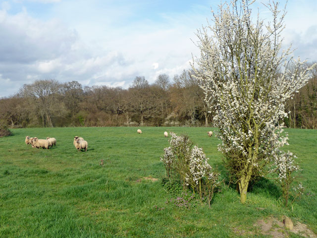
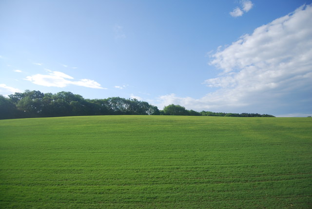
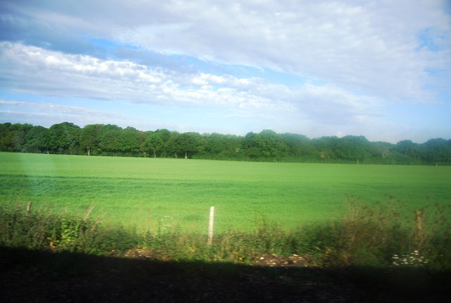
Baystone Copse is a picturesque woodland located in the county of Sussex, England. Spanning an area of approximately 100 acres, this enchanting forest is a haven for nature lovers and outdoor enthusiasts alike. The copse is situated in close proximity to the village of Baystone, which adds to its accessibility and charm.
The woodland is predominantly composed of native deciduous trees, including towering oaks, beeches, and birches. Their lush green foliage provides a stunning canopy overhead, filtering the sunlight and creating a tranquil atmosphere on the forest floor. The forest is particularly captivating during the autumn months when the leaves transform into a vibrant palette of reds, yellows, and oranges.
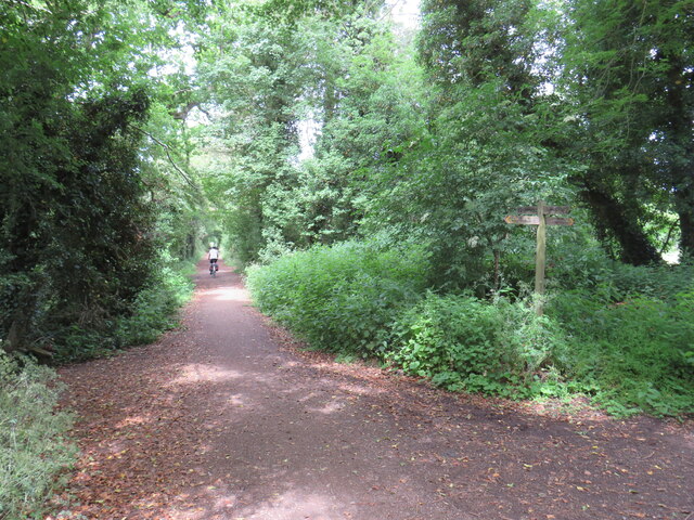
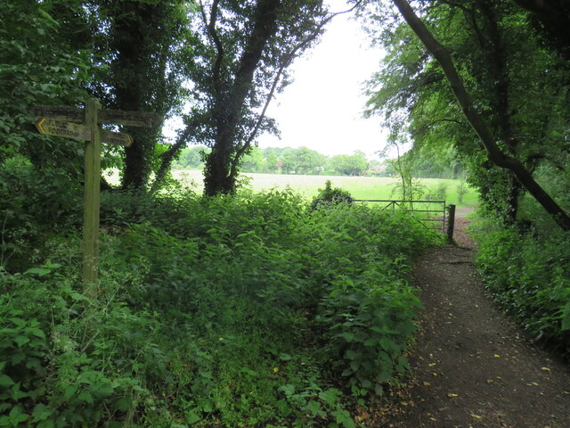
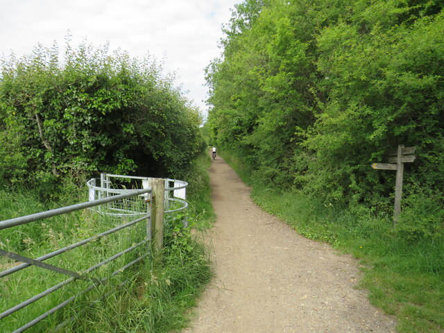
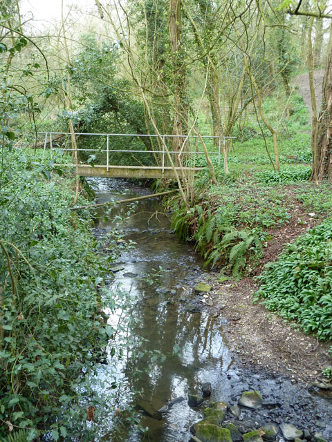
Baystone Copse is interlaced with a network of well-maintained walking trails, allowing visitors to explore its beauty at their own pace. These paths wind through the forest, meandering past babbling brooks and small clearings, providing opportunities for peaceful reflection and wildlife observation. The copse is home to a diverse range of flora and fauna, with sightings of deer, foxes, and various bird species being common.
Aside from its natural beauty, Baystone Copse also holds historical significance. The woodland is believed to have been in existence for centuries, with traces of ancient settlements and burial mounds discovered within its borders. Archaeological finds suggest that the area was occupied during the Iron Age and Roman period, adding an extra layer of intrigue to the copse's allure.
Overall, Baystone Copse offers a serene escape from the hustle and bustle of everyday life. Its idyllic setting, rich biodiversity, and historical significance make it a must-visit destination for those seeking solace in nature.
If you have any feedback on the listing, please let us know in the comments section below.
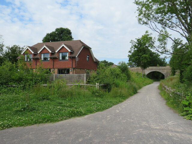
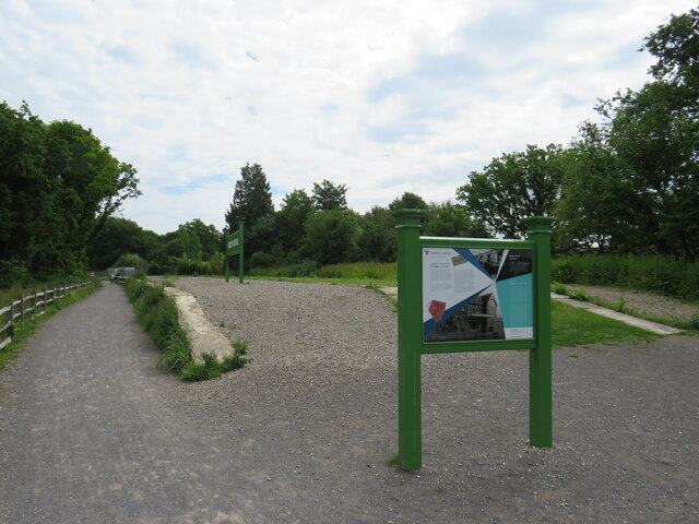
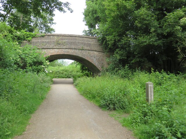
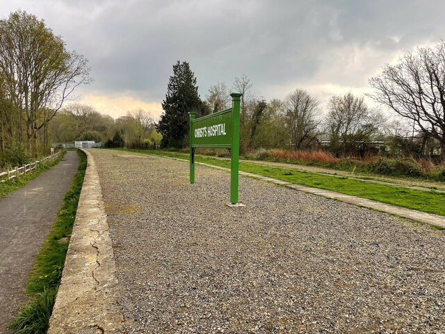
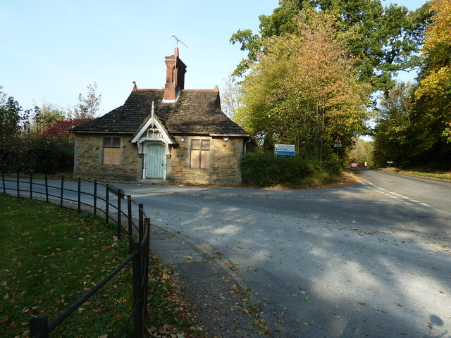
Baystone Copse Images
Images are sourced within 2km of 51.058964/-0.3723545 or Grid Reference TQ1430. Thanks to Geograph Open Source API. All images are credited.

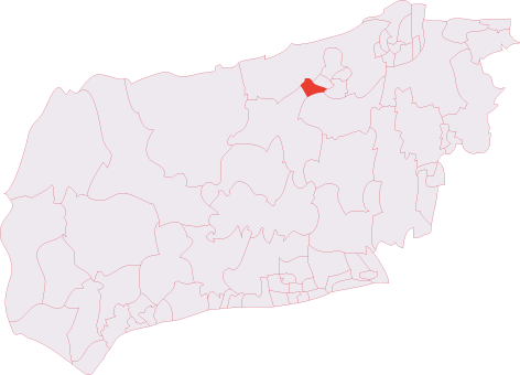
Baystone Copse is located at Grid Ref: TQ1430 (Lat: 51.058964, Lng: -0.3723545)
Administrative County: West Sussex
District: Horsham
Police Authority: Sussex
What 3 Words
///tens.part.blaze. Near Slinfold, West Sussex
Nearby Locations
Related Wikis

Broadbridge Heath F.C.
Broadbridge Heath Football Club is a football club based in Broadbridge Heath, near Horsham, in West Sussex, England. They are currently members of the...
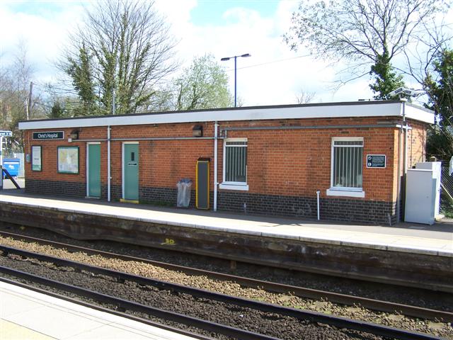
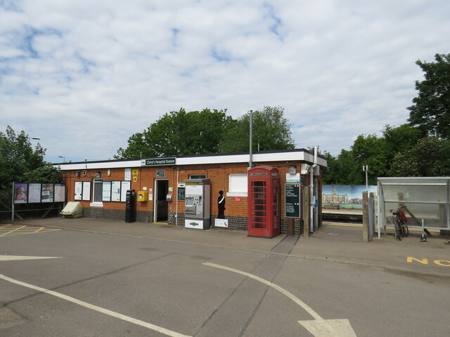
Christ's Hospital railway station
Christ's Hospital railway station is near Horsham in West Sussex, England. It is 40 miles 7 chains (64.5 km) down the line from London Bridge via Redhill...
Horsham Tanbridge & Broadbridge Heath (electoral division)
Horsham Tanbridge & Broadbridge Heath is an electoral division of West Sussex in England, and returns one member to sit on West Sussex County Council....
Tanbridge House School
Tanbridge House School is a coeducational secondary school located in Horsham, West Sussex, England. Its current head master is Mr Sheridan who started...
Itchingfield
Itchingfield is a small village and civil parish in the Horsham district of West Sussex, England. It lies on the Barns Green to Broadbridge Heath road...

Broadbridge Heath
Broadbridge Heath is a village and civil parish in the Horsham district of West Sussex, England. It is about two miles (3 km) west from the historic centre...
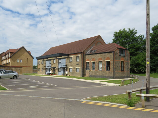
Christ's Hospital
Christ's Hospital is a public school (English fee-charging boarding school for pupils aged 11–18) with a royal charter located to the south of Horsham...

Field Place, Warnham
Field Place is a Grade I listed house in Warnham, West Sussex, England. It is the birthplace of the poet Percy Bysshe Shelley, born there in 1792. The...
Nearby Amenities
Located within 500m of 51.058964,-0.3723545Have you been to Baystone Copse?
Leave your review of Baystone Copse below (or comments, questions and feedback).