Brinsop and Wormsley

Civil Parish in Herefordshire

England

Brinsop and Wormsley

The Buttas Nestling dreamily in a hollow under Baynham's Wood, the house has medieval origins and contains fragments of nearby Wormsley Priory. Venue for the annual King's Pyon Fete.
The Buttas Credit: Philip Pankhurst

Brinsop and Wormsley is a civil parish located in the county of Herefordshire, England. Nestled in the picturesque countryside, the parish covers an area of approximately 7 square kilometers.

Brinsop and Wormsley is home to a small population, with a mix of residential and agricultural land use. The charming village of Brinsop is the main settlement in the parish, characterized by its quaint cottages and historic buildings. The village is centered around St. George's Church, a beautiful medieval church that dates back to the 12th century. The church is a popular attraction for visitors, known for its stunning architecture and serene atmosphere.

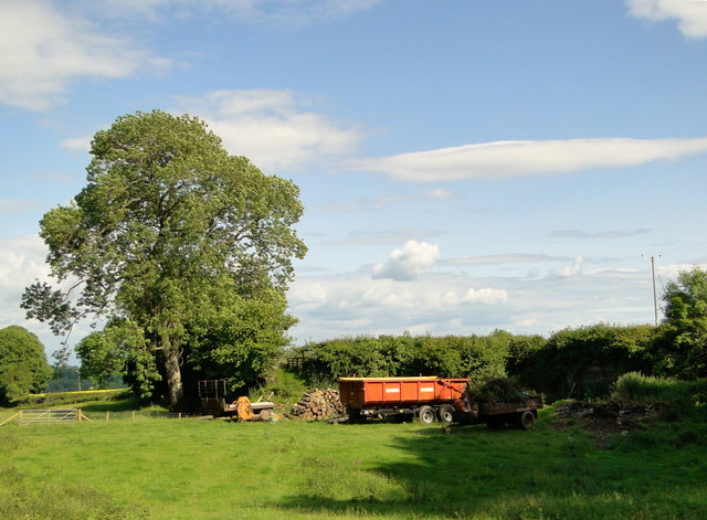
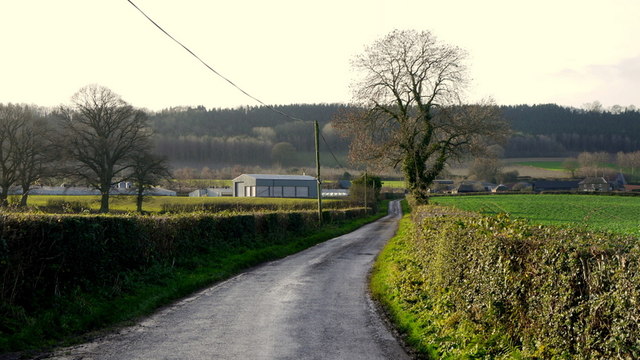
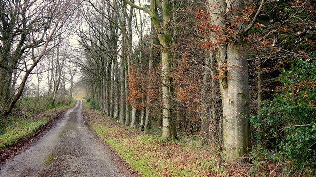
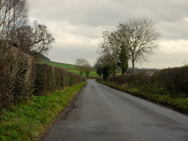
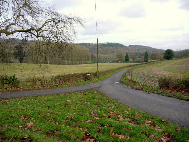
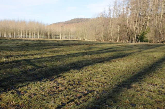
The parish is surrounded by lush greenery, with rolling hills and meadows providing a scenic backdrop. The landscape is dotted with farms and fields, contributing to the area's agricultural heritage. This rural setting offers a peaceful and tranquil environment for residents and visitors alike.

Despite its small size, Brinsop and Wormsley has a strong sense of community. The parish organizes various events and activities throughout the year, bringing people together and fostering a close-knit atmosphere. The local pub, The Bell Inn, serves as a hub for socializing and is known for its warm hospitality.

Overall, Brinsop and Wormsley is a charming rural parish with a rich history and beautiful surroundings. It offers a peaceful and idyllic retreat for those seeking a slower pace of life and a close connection to nature.

If you have any feedback on the listing, please let us know in the comments section below.

Brinsop and Wormsley Images

Images are sourced within 2km of 52.1255/-2.839617 or Grid Reference SO4247. Thanks to Geograph Open Source API. All images are credited.

The Buttas Nestling dreamily in a hollow under Baynham's Wood, the house has medieval origins and contains fragments of nearby Wormsley Priory. Venue for the annual King's Pyon Fete.
The Buttas
Nestling dreamily in a hollow under Baynham's Wood, the house has medieval origins and contains fragments of nearby Wormsley Priory. Venue for the annual King's Pyon Fete.
The lane to Buttas Knapp Leading only to the Buttas, according to the sign at the crossroads.
The lane to Buttas Knapp
Leading only to the Buttas, according to the sign at the crossroads.
Estate cottages, The Buttas Idyllically situated estate workers cottages in the shadow of the Buttas and looking down over Canon Pyon.
Estate cottages, The Buttas
Idyllically situated estate workers cottages in the shadow of the Buttas and looking down over Canon Pyon.
The Knapp at Buttas With Baynham's Hill Wood as a backdrop. Seen from the grasslands of Court Farm.
The Knapp at Buttas
With Baynham's Hill Wood as a backdrop. Seen from the grasslands of Court Farm.
The Gatehouse, Buttas Dated 1632 and carrying the initials of George and Elizabeth Harver, the gatehouse adjoins Buttas, also dating from the 17th century, but containing worked stone and sculpture from nearby Wormsley Priory. The annual Kings Pyon fete has just ended.
The Gatehouse, Buttas
Dated 1632 and carrying the initials of George and Elizabeth Harver, the gatehouse adjoins Buttas, also dating from the 17th century, but containing worked stone and sculpture from nearby Wormsley Priory. The annual Kings Pyon fete has just ended.
Kings Pyon fete 2012, The Buttas Mrs Juliet Verdin and her family hosts the village fete here every year. Preparations are being finalised before the crowds arrive. A great time was had by all and a useful sum was made for the church.

The house dates from the 17th century and incorporates fragments of nearby Wormsley Priory.
Kings Pyon fete 2012, The Buttas
Mrs Juliet Verdin and her family hosts the village fete here every year. Preparations are being finalised before the crowds arrive. A great time was had by all and a useful sum was made for the church. The house dates from the 17th century and incorporates fragments of nearby Wormsley Priory.
After Kings Pyon fete 2012, The Buttas Mrs Juliet Verdin and her family hosts the village fete here every year. The crowds have left after a great time had been had by all and a useful sum had been made for the church.
 
The house dates from the 17th century and incorporates fragments of nearby Wormsley Priory.
After Kings Pyon fete 2012, The Buttas
Mrs Juliet Verdin and her family hosts the village fete here every year. The crowds have left after a great time had been had by all and a useful sum had been made for the church. The house dates from the 17th century and incorporates fragments of nearby Wormsley Priory.
Ancient quarry, Wormsley Hill Disused for centuries, I am told.
Ancient quarry, Wormsley Hill
Disused for centuries, I am told.
Country lane to Wootton Farm A poultry business at the foot of Beacon Hill.
Country lane to Wootton Farm
A poultry business at the foot of Beacon Hill.
Beech-lined lane Ostey Wood is to the right and is mixed broadleaf and conifer.
Ostey Lane ahead leads to Hill Top Farm with a footpath continuing west to Garnstone Wood.
Beech-lined lane
Ostey Wood is to the right and is mixed broadleaf and conifer. Ostey Lane ahead leads to Hill Top Farm with a footpath continuing west to Garnstone Wood.
View to St. Mary's church, Wormsley A small ancient church without a village in the rolling hills of north-west herefordshire.
In front with the sheep is an old orchard laden with mistletoe.
View to St. Mary's church, Wormsley
A small ancient church without a village in the rolling hills of north-west herefordshire. In front with the sheep is an old orchard laden with mistletoe.
Red Barr Wood The wooded southern slope of Nupton Hill viewed from the road to Wormsley Grange.
Red Barr Wood
The wooded southern slope of Nupton Hill viewed from the road to Wormsley Grange.
Cedar tree near Wormsley Grange Baynham's Hill Wood on the other side of the valley; the bumps in the grassy area are all that remains of Wormsley Priory.
The cedar mentioned in <a href="https://www.geograph.org.uk/photo/641616">SO4348 : Site of Wormsley Priory</a> is apparently growing on the site of one of the outer walls.
Cedar tree near Wormsley Grange
Baynham's Hill Wood on the other side of the valley; the bumps in the grassy area are all that remains of Wormsley Priory. The cedar mentioned in SO4348 : Site of Wormsley Priory is apparently growing on the site of one of the outer walls.
Road to Tillington Looking south-east just south of Gate House.
Road to Tillington
Looking south-east just south of Gate House.
Private road to Foxley As indicated by the sign, viewed from the public road to Yarsop.
Bache Wood can be seen in the distance.
Private road to Foxley
As indicated by the sign, viewed from the public road to Yarsop. Bache Wood can be seen in the distance.
Narrow track at Yarsop Possibly for private access to fishing lakes.
Narrow track at Yarsop
Possibly for private access to fishing lakes.
View to Darkhill Wood A piece of arable land at Yarsop in the foreground with path indicated.
Darkhill is aptly-named.
View to Darkhill Wood
A piece of arable land at Yarsop in the foreground with path indicated. Darkhill is aptly-named.
Site of a WWII military hospital, Mansell Lacy Clearing in woodland at Mansell Lacy.  The land in this valley was landscaped by Humphrey Repton in the 18th century, it was the parkland of nearby Foxley House which was built in 1717 for Baron Robert Price.  During the Second World War the house and the valley were used as a military hospital by the Americans.  Unfortunately due to the damage sustained during the war the house was demolished in 1948.  The site of the temporary wartime buildings are Evident in the aerial picture <a href="https://www.geograph.org.uk/photo/5843804">SO4246 : Foxley Wood and Bache Wood: aerial 2018</a>.
Site of a WWII military hospital, Mansell Lacy
Clearing in woodland at Mansell Lacy. The land in this valley was landscaped by Humphrey Repton in the 18th century, it was the parkland of nearby Foxley House which was built in 1717 for Baron Robert Price. During the Second World War the house and the valley were used as a military hospital by the Americans. Unfortunately due to the damage sustained during the war the house was demolished in 1948. The site of the temporary wartime buildings are Evident in the aerial picture SO4246 : Foxley Wood and Bache Wood: aerial 2018.
Show me another place!

Brinsop and Wormsley is located at Grid Ref: SO4247 (Lat: 52.1255, Lng: -2.839617)

Unitary Authority: County of Herefordshire

Police Authority: West Mercia

What 3 Words

///scorpions.dude.uniform. Near Yazor, Herefordshire

Related Wikis

St Mary's Church, Wormsley

St Mary's Church is a redundant Anglican church in Wormsley, approximately 7.5 miles (12 km) north-west of Hereford, Herefordshire, England. It is recorded...

Wormsley Priory

Wormsley Priory was a monastic house in Herefordshire, England at grid reference SO43584847. == References ==

Foxley, Herefordshire

Foxley is a rural estate, and the former Foxley Manor country seat, in Herefordshire, England. The Manor is associated with the judicial, political, artistic...

Brinsop and Wormsley

Brinsop and Wormsley is a civil parish in the county of Herefordshire, England. It includes the largely depopulated village settlements of Brinsop and...

Nearby Amenities

Located within 500m of 52.1255,-2.839617
Wormsley
Place: hamlet
Lat/Long: 52.1251296/-2.8384105
The data included in this document is from www.openstreetmap.org. The data is made available under ODbL.

Have you been to Brinsop and Wormsley?

Leave your review of Brinsop and Wormsley below (or comments, questions and feedback).