Brinsley

Civil Parish in Nottinghamshire Broxtowe

England

Brinsley

Broad Lane Brinsley This is near the edge of Brinsley travelling towards Jacksdale.
Broad Lane Brinsley Credit: Malcolm Neal

Brinsley is a civil parish located in the county of Nottinghamshire, England. It is situated approximately 12 miles northwest of Nottingham city center and is part of the district of Ashfield. The parish covers an area of around 2.5 square miles and has a population of approximately 1,500 residents.

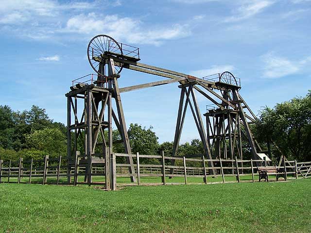
Brinsley is a small, rural community with a rich history dating back to the medieval period. The parish is home to several historic buildings, including the Grade II listed Brinsley Headstocks, which are remnants of the former Brinsley Colliery that operated in the area.

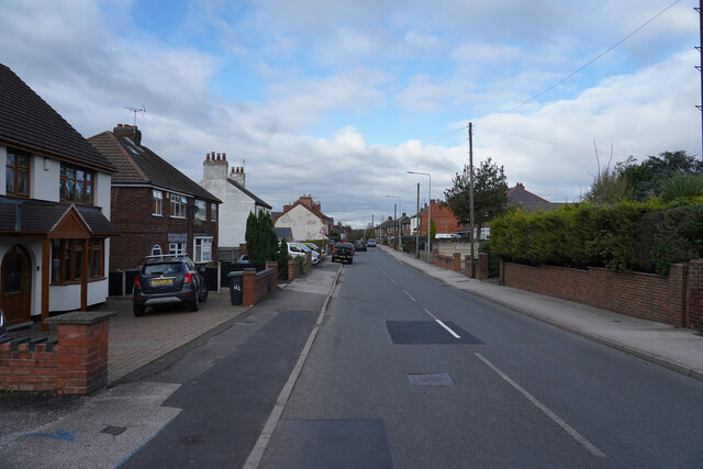
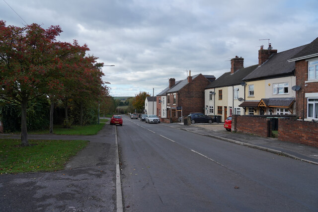
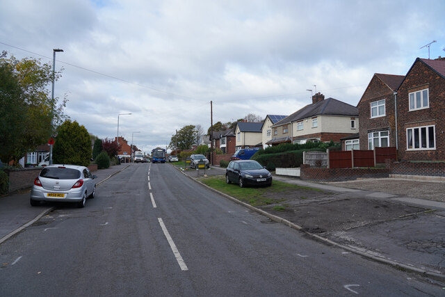
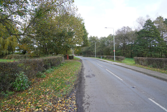
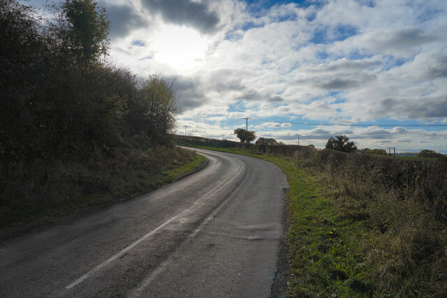
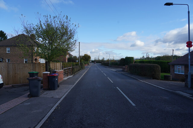
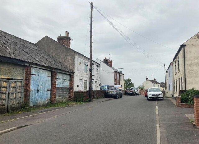
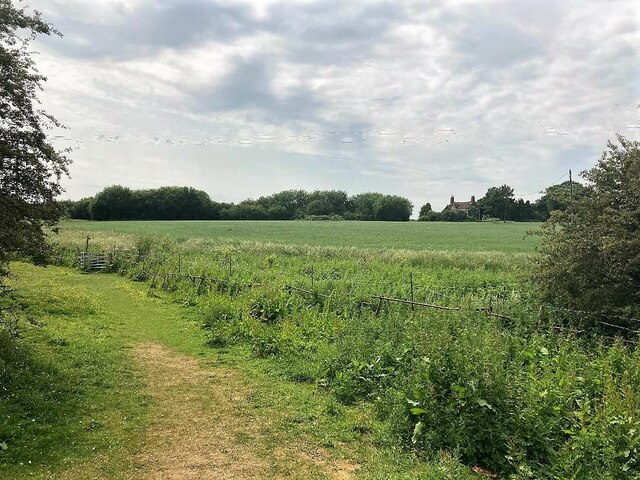
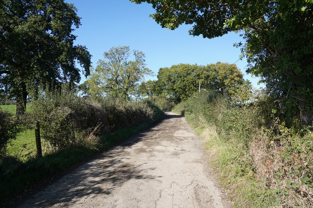
Today, Brinsley is a predominantly residential area with a mix of housing types, including traditional cottages, modern developments, and converted industrial buildings. The parish is surrounded by green fields and woodlands, making it a picturesque location for those seeking a quiet, rural lifestyle.

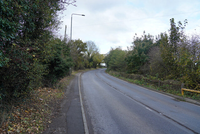
Local amenities in Brinsley include a primary school, village hall, and several shops and pubs. The parish is well-connected by road, with easy access to nearby towns such as Eastwood and Kimberley, as well as the M1 motorway for travel further afield.

If you have any feedback on the listing, please let us know in the comments section below.
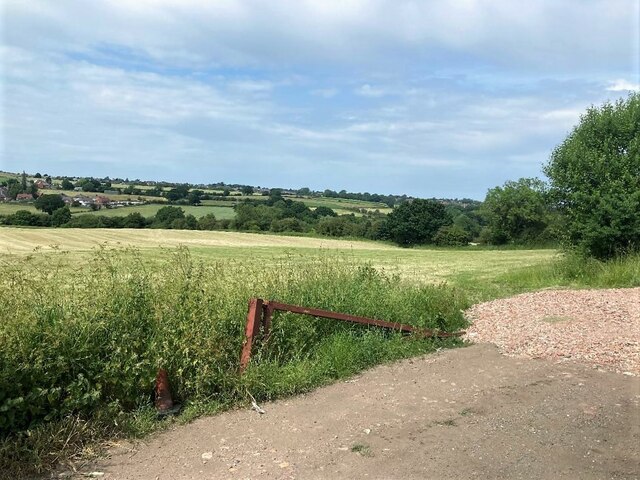
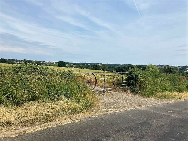
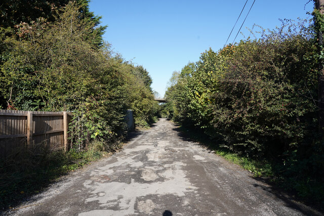
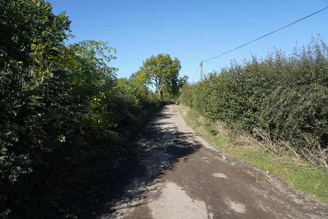
Brinsley Images

Images are sourced within 2km of 53.040651/-1.320732 or Grid Reference SK4549. Thanks to Geograph Open Source API. All images are credited.

Broad Lane Brinsley This is near the edge of Brinsley travelling towards Jacksdale.
Broad Lane Brinsley
This is near the edge of Brinsley travelling towards Jacksdale.
Main Street This is the edge of West Brinsley.
Main Street
This is the edge of West Brinsley.
Main Road Jacksdale Jacksdale is another village in this former mining area.
Main Road Jacksdale
Jacksdale is another village in this former mining area.
Near Westwood Farm There are fields to both sides of the road at this point, with Westwood Farm on the left side of the road.
Near Westwood Farm
There are fields to both sides of the road at this point, with Westwood Farm on the left side of the road.
Withallow Lane This lane is a minor road that runs back to Brinsley.
Withallow Lane
This lane is a minor road that runs back to Brinsley.
Main Road, Underwood One of many roads named Main Road, or Main Street in this area. Each village seems to have one.
Main Road, Underwood
One of many roads named Main Road, or Main Street in this area. Each village seems to have one.
Palmerston Street in Underwood
Footpath near New Brinsley The dwelling towards the right of picture is Pollington House.
Footpath near New Brinsley
The dwelling towards the right of picture is Pollington House.
Fields near Plain Spot Pictured from a field entrance on Wilhallow Lane.
Fields near Plain Spot
Pictured from a field entrance on Wilhallow Lane.
Gated Field Entrance off Flatt Lane A pair of wheels - probably redundant pieces from one of the local pits have been incorporated into this gate. The more distant view is towards Bagthorpe.
Gated Field Entrance off Flatt Lane
A pair of wheels - probably redundant pieces from one of the local pits have been incorporated into this gate. The more distant view is towards Bagthorpe.
Aldercar Lane Aldercar lane is more like a track with a very poor surface with many deep potholes.  Just ahead is the flyover for the A610. To the right of the hedge is the site of Aldercar Allotments.
Aldercar Lane
Aldercar lane is more like a track with a very poor surface with many deep potholes. Just ahead is the flyover for the A610. To the right of the hedge is the site of Aldercar Allotments.
Aldercar Lane Now out beyond the allotments with field to either side. It is a busy lane despite the poor surface, especially for the use of tractors.
Aldercar Lane
Now out beyond the allotments with field to either side. It is a busy lane despite the poor surface, especially for the use of tractors.
Aldercar Lane This is close to the end of the lane as it comes to a stop after turning right and crossing the railway track.
Aldercar Lane
This is close to the end of the lane as it comes to a stop after turning right and crossing the railway track.
Mansfield Road Autumnal leaf fall on the edge of Mansfield Road.
Mansfield Road
Autumnal leaf fall on the edge of Mansfield Road.
Broad Lane Brinsley Broad Lane is a long straight road with a variety of different types of housing on both sides.
Broad Lane Brinsley
Broad Lane is a long straight road with a variety of different types of housing on both sides.
Hobsic Close This is one of several cul-de-sac roads with a curve in them on the edge of New Brinsley.
Hobsic Close
This is one of several cul-de-sac roads with a curve in them on the edge of New Brinsley.
Track Junction and fields near Willey Wood Farm Looking south towards Eastwood where the Church of St. Mary can be seen on the centre horizon.
Track Junction and fields near Willey Wood Farm
Looking south towards Eastwood where the Church of St. Mary can be seen on the centre horizon.
Path and Field of Cut Grass near Brinsley This narrow footpath separates the field from Saints Coppice - a pleasant grove of deciduous trees out of picture to the right.
Path and Field of Cut Grass near Brinsley
This narrow footpath separates the field from Saints Coppice - a pleasant grove of deciduous trees out of picture to the right.
Show me another place!

Brinsley is located at Grid Ref: SK4549 (Lat: 53.040651, Lng: -1.320732)

Administrative County: Nottinghamshire

District: Broxtowe

Police Authority: Nottinghamshire

What 3 Words

///styled.baffle.invoices. Near Heanor, Derbyshire

Nearby Locations

Brinsley

Related Wikis

Brinsley

Brinsley is a village and civil parish in Nottinghamshire, England. The church of St James was built in 1837–38 using Bunter sandstone from Mansfield quarries...

Brinsley Colliery

Brinsley Colliery was a coal mine in west Nottinghamshire, close to the boundary with Derbyshire, in what is now Broxtowe district. == History == It was...

Aldercar and Langley Mill

Aldercar and Langley Mill is a civil parish in the Amber Valley district of Derbyshire, England. It includes the villages of Aldercar and Langley Mill...

Ashfield District

Ashfield () is a local government district in Nottinghamshire, England. The council is based in Kirkby-in-Ashfield, but the largest town is neighbouring...

Related Videos

Jacksdale Funfair 2023

Following on from their fair in Ollerton, Scot Pullen and Jay Weightman made the 20 mile southwest journey to the village of ...

Nearby Amenities

Located within 500m of 53.040651,-1.320732
Post Box
Collection Times: Mo-Fr 16:30, Sa 10:30
Operator: Royal Mail
Operator Wikidata: Q638098
Post Box Manufacturer: Machan, Scotland
Post Box Type: lamp
Ref: NG16 125D
Royal Cypher: EIIR
Royal Cypher Wikidata: Q33102113
Source: survey
Lat/Long: 53.0418995/-1.3149069
Barrier: kissing_gate
Lat/Long: 53.0417087/-1.3158898
Barrier: kissing_gate
Lat/Long: 53.0386414/-1.3147427
Passing Place
Lat/Long: 53.0365362/-1.3206604
Ele: 65.0000000
Note: Previously mapped as a post box, but actually just a private letter box (former EIIR wall post box).
Lat/Long: 53.0439431/-1.3255169
Ele: 65
Lat/Long: 53.0439333/-1.3256759
Ele: 65
Lat/Long: 53.0438769/-1.3258394
Ele: 65
Lat/Long: 53.0438695/-1.3258832
Ele: 66
Lat/Long: 53.0431364/-1.3257189
Ele: 69.0000000
Lat/Long: 53.0429043/-1.3255537
Ele: 79.0000000
Lat/Long: 53.0412394/-1.3252156
Ele: 85.0000000
Lat/Long: 53.0397855/-1.3249724
Barrier: stile
Steps: 1
Stile: stepover
Lat/Long: 53.0379573/-1.3151646
Barrier: stile
Steps: 1
Stile: stepover
Lat/Long: 53.0365583/-1.3184224
Barrier: stile
Ele: 79.0000000
Steps: 2
Stile: stepover
Lat/Long: 53.0398226/-1.3271557
Brinsley Gin
Place: locality
Source Name: Sign from Main Street; OS Open Data Streetview
Lat/Long: 53.0442232/-1.3247903
Power: pole
Lat/Long: 53.0372295/-1.3242839
Power: pole
Lat/Long: 53.0379045/-1.3232898
Power: pole
Lat/Long: 53.0385884/-1.3230366
Power: pole
Lat/Long: 53.0392522/-1.3227816
Power: pole
Lat/Long: 53.039912/-1.3225278
Power: pole
Lat/Long: 53.040537/-1.3222969
Power: pole
Lat/Long: 53.0412767/-1.3220129
Power: pole
Lat/Long: 53.042053/-1.3217179
Power: pole
Lat/Long: 53.0428244/-1.3214369
Power: pole
Lat/Long: 53.0434269/-1.3212027
Power: pole
Lat/Long: 53.0441842/-1.3209183
Power: pole
Lat/Long: 53.0450354/-1.3205941
Direction: 235
Generator Method: photovoltaic
Generator Output Electricity: yes
Generator Solar Modules: 16
Generator Source: solar
Generator Type: solar_photovoltaic_panel
Location: roof
Power: generator
Lat/Long: 53.0403308/-1.3137154
Direction: 235
Generator Method: photovoltaic
Generator Output Electricity: yes
Generator Solar Modules: 16
Generator Source: solar
Generator Type: solar_photovoltaic_panel
Location: roof
Power: generator
Lat/Long: 53.0402623/-1.3138871
Direction: SSW
Generator Method: photovoltaic
Generator Output Electricity: yes
Generator Solar Modules: 16
Generator Source: solar
Generator Type: solar_photovoltaic_panel
Location: roof
Power: generator
Lat/Long: 53.0401313/-1.3144979
Direction: 165
Generator Method: photovoltaic
Generator Output Electricity: yes
Generator Solar Modules: 18
Generator Source: solar
Generator Type: solar_photovoltaic_panel
Location: roof
Power: generator
Lat/Long: 53.0403521/-1.3133131
Direction: SSW
Generator Method: photovoltaic
Generator Output Electricity: yes
Generator Solar Modules: 12
Generator Source: solar
Generator Type: solar_photovoltaic_panel
Location: roof
Power: generator
Lat/Long: 53.0427429/-1.3176663
Direction: ESE
Generator Method: photovoltaic
Generator Output Electricity: yes
Generator Solar Modules: 16
Generator Source: solar
Generator Type: solar_photovoltaic_panel
Location: roof
Power: generator
Lat/Long: 53.0429562/-1.3166423
Direction: SSW
Generator Method: photovoltaic
Generator Output Electricity: yes
Generator Solar Modules: 8
Generator Source: solar
Generator Type: solar_photovoltaic_panel
Location: roof
Power: generator
Lat/Long: 53.0436729/-1.3166517
Direction: SSW
Generator Method: photovoltaic
Generator Output Electricity: yes
Generator Solar Modules: 14
Generator Source: solar
Generator Type: solar_photovoltaic_panel
Location: roof
Power: generator
Lat/Long: 53.0436213/-1.3164881
Direction: 185
Generator Method: photovoltaic
Generator Output Electricity: yes
Generator Solar Modules: 18
Generator Source: solar
Generator Type: solar_photovoltaic_panel
Location: roof
Power: generator
Lat/Long: 53.0440223/-1.3158119
Direction: SSW
Generator Method: photovoltaic
Generator Output Electricity: yes
Generator Solar Modules: 8
Generator Source: solar
Generator Type: solar_photovoltaic_panel
Location: roof
Power: generator
Lat/Long: 53.0436578/-1.3166005
Direction: 120
Generator Method: photovoltaic
Generator Output Electricity: yes
Generator Solar Modules: 16
Generator Source: solar
Generator Type: solar_photovoltaic_panel
Location: roof
Power: generator
Lat/Long: 53.0395585/-1.3137582
Direction: 105
Generator Method: photovoltaic
Generator Output Electricity: yes
Generator Solar Modules: 7
Generator Source: solar
Generator Type: solar_photovoltaic_panel
Location: roof
Power: generator
Lat/Long: 53.0423908/-1.3161027
Direction: 285
Generator Method: photovoltaic
Generator Output Electricity: yes
Generator Solar Modules: 7
Generator Source: solar
Generator Type: solar_photovoltaic_panel
Location: roof
Power: generator
Lat/Long: 53.042407/-1.3161577
Direction: SSE
Generator Method: photovoltaic
Generator Output Electricity: yes
Generator Solar Modules: 5
Generator Source: solar
Generator Type: solar_photovoltaic_panel
Location: roof
Power: generator
Lat/Long: 53.0441671/-1.3186136
Direction: WSW
Generator Method: photovoltaic
Generator Output Electricity: yes
Generator Solar Modules: 7
Generator Source: solar
Generator Type: solar_photovoltaic_panel
Location: roof
Power: generator
Lat/Long: 53.0441252/-1.3185506
Direction: 125
Generator Method: photovoltaic
Generator Output Electricity: yes
Generator Solar Modules: 16
Generator Source: solar
Generator Type: solar_photovoltaic_panel
Location: roof
Power: generator
Lat/Long: 53.0387249/-1.3144735
The data included in this document is from www.openstreetmap.org. The data is made available under ODbL.

Have you been to Brinsley?

Leave your review of Brinsley below (or comments, questions and feedback).