Briercliffe

Civil Parish in Lancashire Burnley

England

Briercliffe

The Pennine Bridleway above Swinden Water The bridleway does a lot of zigzags both on this side and the other side of the valley.
The Pennine Bridleway above Swinden Water Credit: Bill Boaden

Briercliffe is a civil parish located in the county of Lancashire, England. Situated in the borough of Burnley, it is a small rural area surrounded by picturesque countryside and rolling hills. The parish covers an area of approximately 6 square miles and is home to a population of around 2,500 residents.

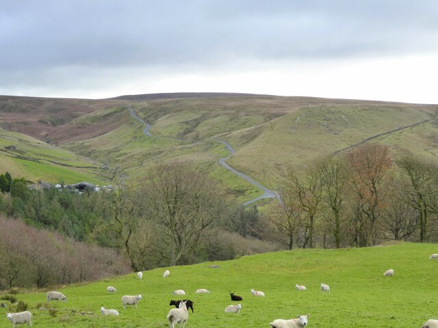
Historically, Briercliffe was an agricultural community, with farming being the main occupation for its inhabitants. Today, the area still retains its rural charm and is known for its peaceful and idyllic setting. The landscape is dotted with quaint cottages, farmhouses, and traditional buildings, giving the parish a distinct character.

The parish is relatively self-sufficient, with a range of amenities and services available to its residents. This includes a primary school, a village hall, a post office, and a local convenience store. Additionally, there are several pubs and restaurants that offer a warm and welcoming atmosphere to both locals and visitors.

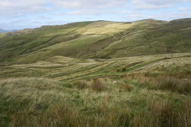
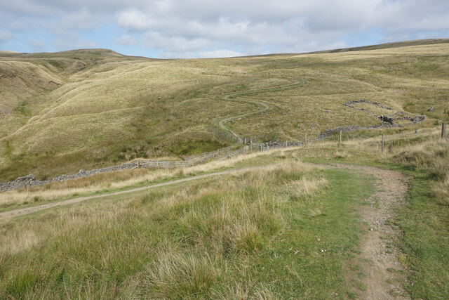
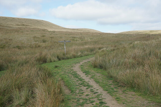
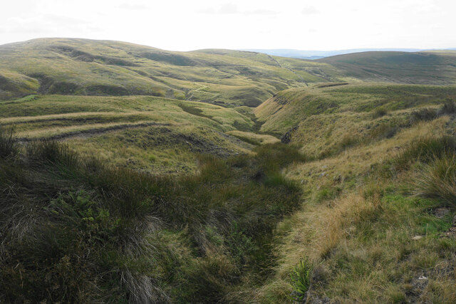
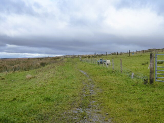
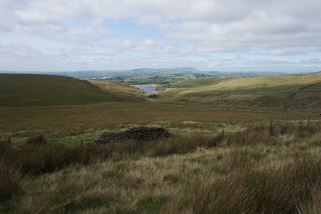
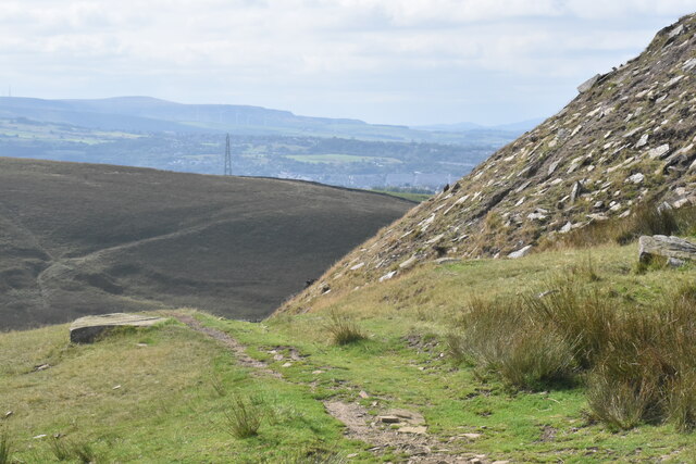
Briercliffe is also known for its rich history, with several heritage sites scattered throughout the area. This includes numerous historic churches, such as St James' Church, which dates back to the 18th century. The parish also boasts a number of walking and cycling trails, allowing residents and tourists to explore the beautiful countryside and take in the stunning views.

Overall, Briercliffe is a charming and peaceful civil parish in Lancashire, offering a tranquil retreat from the hustle and bustle of city life. With its picturesque landscapes, rich history, and close-knit community, it is a place that has something to offer for everyone.

If you have any feedback on the listing, please let us know in the comments section below.
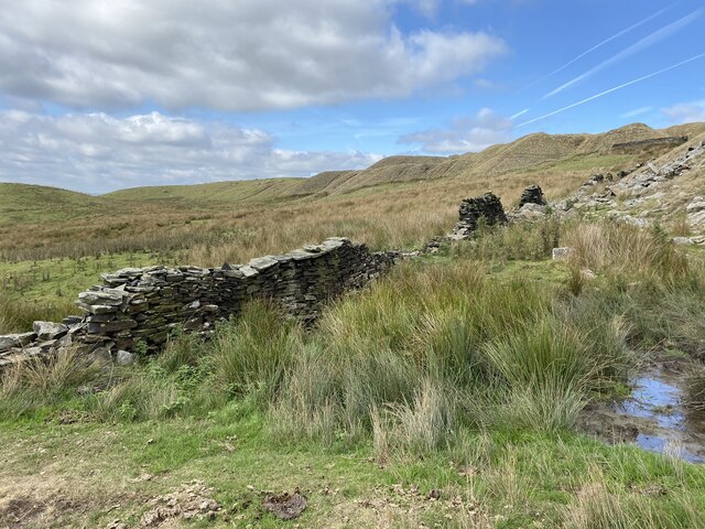
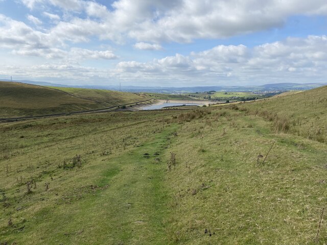
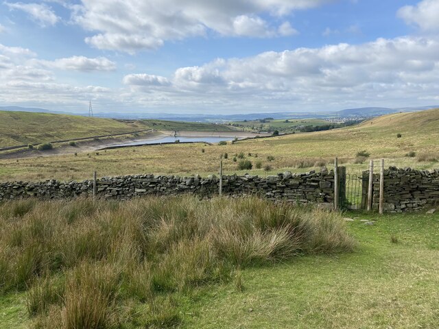
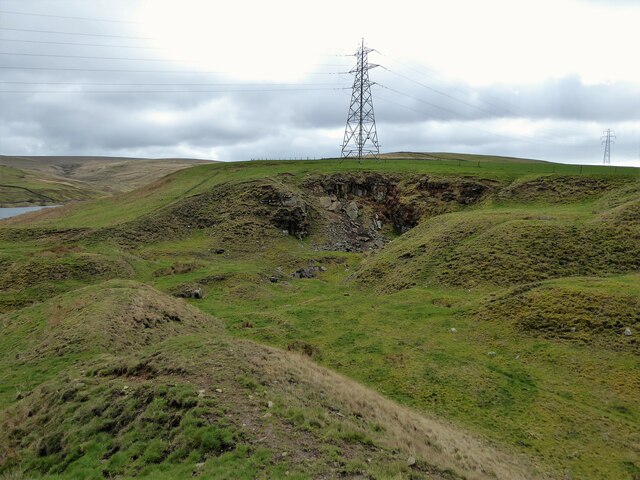
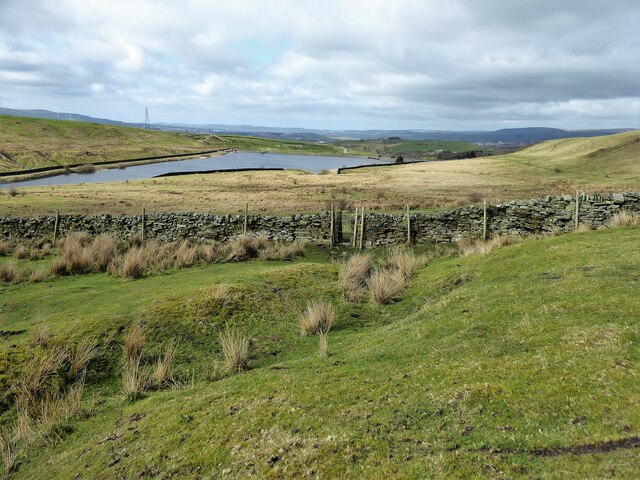
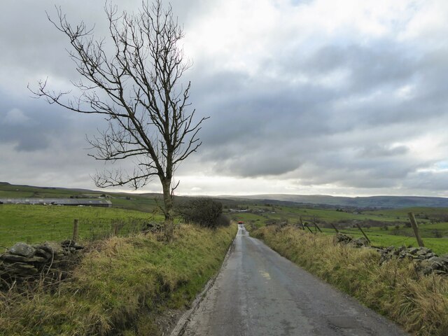
Briercliffe Images

Images are sourced within 2km of 53.807954/-2.16584 or Grid Reference SD8934. Thanks to Geograph Open Source API. All images are credited.

The Pennine Bridleway above Swinden Water The bridleway does a lot of zigzags both on this side and the other side of the valley.
The Pennine Bridleway above Swinden Water
The bridleway does a lot of zigzags both on this side and the other side of the valley.
The Pennine Bridleway crossing Swinden Water A winding route which reflects previous quarrying activity in the valley.
The Pennine Bridleway crossing Swinden Water
A winding route which reflects previous quarrying activity in the valley.
Path junction on Extwistle Moor The Pennine Bridleway continues up onto the moor, while a path leads off left down to Swinden Bridge.
Path junction on Extwistle Moor
The Pennine Bridleway continues up onto the moor, while a path leads off left down to Swinden Bridge.
Grain on Extwistle Moor This forms a tributary of Swinden Water.
Grain on Extwistle Moor
This forms a tributary of Swinden Water.
Bronte Way A named route to Wycoller, here close to Halifax Road it is marked as a bridle path
Bronte Way
A named route to Wycoller, here close to Halifax Road it is marked as a bridle path
Road to Widdop A minor road climbs out of the Thursden Valley towards Widdop in Yorkshire
Road to Widdop
A minor road climbs out of the Thursden Valley towards Widdop in Yorkshire
Moorland below Ben Edge Swinden Reservoir is at the bottom and Pendle in the background.
Moorland below Ben Edge
Swinden Reservoir is at the bottom and Pendle in the background.
Path on Delf Hill The path down to Swinden Bridge passes the remains of quarrying on Delf Hill.
Path on Delf Hill
The path down to Swinden Bridge passes the remains of quarrying on Delf Hill.
Dilapidated wall on Delf Hill The remains of former quarrying on the top of the hill are quite evident.
Dilapidated wall on Delf Hill
The remains of former quarrying on the top of the hill are quite evident.
Path down to Swinden Bridge The lower part of the path is a gentle grassy descent. Swinden Reservoir is seen below, with the water level clearly below capacity.
Path down to Swinden Bridge
The lower part of the path is a gentle grassy descent. Swinden Reservoir is seen below, with the water level clearly below capacity.
Iron gate in a wall The gate is an unusual feature on the moors, but it is in perfect working order.
Iron gate in a wall
The gate is an unusual feature on the moors, but it is in perfect working order.
Extwistle Hall The derelict Extwistle Hall
Extwistle Hall
The derelict Extwistle Hall
Old quarry south of Swinden Reservoirs
Boundary wall and footpath gate Leaving access land centred on Extwistle Moor to approach the Swinden Reservoirs
Boundary wall and footpath gate
Leaving access land centred on Extwistle Moor to approach the Swinden Reservoirs
Footbridge across Swinden Water This footbridge appears to be a more recent installation replacing the unusable stepping stones marked on OS maps
Footbridge across Swinden Water
This footbridge appears to be a more recent installation replacing the unusable stepping stones marked on OS maps
Footbridge and control tower At Lee Green Reservoir with a series of metal spikes across the reservoir looking like a public art installation, a poor man's Antony Gormley?
Footbridge and control tower
At Lee Green Reservoir with a series of metal spikes across the reservoir looking like a public art installation, a poor man's Antony Gormley?
Hurst Well With its round enclosure it gives the impression of a holy site. A keystone on the stone hut has a date of 1858 and the letters B.I.C. W.W., a Burnley Waterworks building?
Hurst Well
With its round enclosure it gives the impression of a holy site. A keystone on the stone hut has a date of 1858 and the letters B.I.C. W.W., a Burnley Waterworks building?
Black House Lane Dropping down to the Happa horse sanctuary from Halifax Road
Black House Lane
Dropping down to the Happa horse sanctuary from Halifax Road
Show me another place!

Briercliffe is located at Grid Ref: SD8934 (Lat: 53.807954, Lng: -2.16584)

Administrative County: Lancashire

District: Burnley

Police Authority: Lancashire

What 3 Words

///initiates.century.counters. Near Nelson, Lancashire

Related Wikis

Briercliffe

Briercliffe (historically Briercliffe-with-Extwistle) is a civil parish in the borough of Burnley, in Lancashire, England. It is situated 3 miles (4.8...

Haggate

Haggate is a small village within the parish of Briercliffe, situated three miles north of Burnley, Lancashire. The village is mostly built around a small...

Queen Street Mill

Queen Street Mill is a former weaving mill in Harle Syke, a suburb to the north-east of Burnley, Lancashire, that is a Grade I listed building. It now...

St James' Church, Briercliffe

St James' Church is in Church Street, Briercliffe, Lancashire, England. It is an active Anglican parish church in the deanery of Burnley, the archdeaconry...

Nearby Amenities

Located within 500m of 53.807954,-2.16584
Archaeological Site: tumulus
Historic: archaeological_site
Source: npe
Lat/Long: 53.8042659/-2.1627925
Power: tower
Lat/Long: 53.8071846/-2.1729203
The data included in this document is from www.openstreetmap.org. The data is made available under ODbL.

Have you been to Briercliffe?

Leave your review of Briercliffe below (or comments, questions and feedback).