Brierfield
Civil Parish in Lancashire Pendle
England
Brierfield

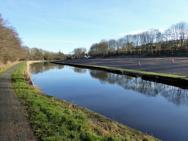
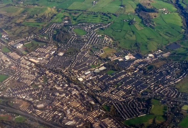
Brierfield is a civil parish located in the borough of Pendle, Lancashire, in the northwest of England. It is situated approximately three miles north of Burnley and eight miles east of Blackburn. The town is surrounded by picturesque countryside, including the Pendle Hill, which is known for its association with the infamous witch trials of the 17th century.
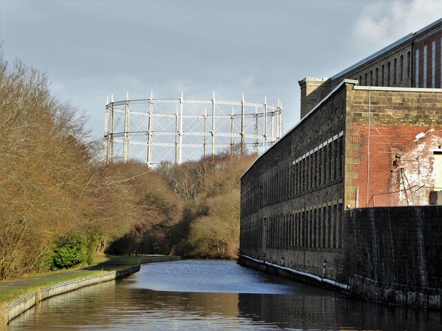
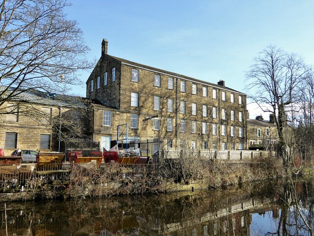
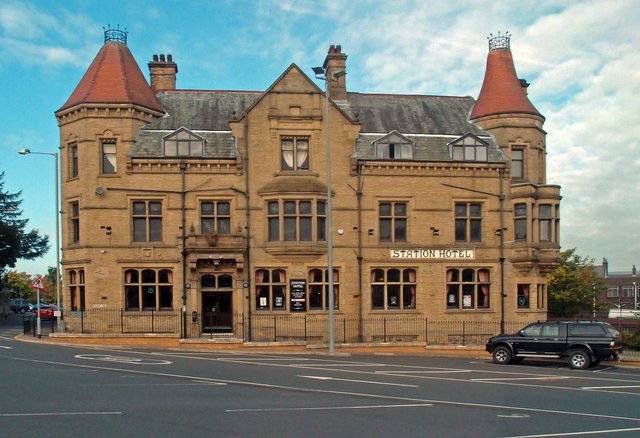
Brierfield has a rich industrial heritage, with its development closely tied to the cotton industry during the Industrial Revolution. The town became a significant center for cotton weaving and spinning, with several mills being established in the 19th century. Today, many of these mills have been converted into residential or commercial spaces.
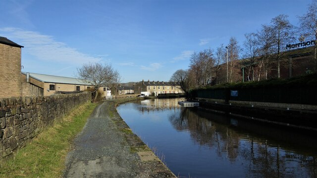
The town center of Brierfield offers a range of amenities, including local shops, supermarkets, pubs, and restaurants, providing residents with essential services and leisure opportunities. Brierfield Library, a historic building, serves as a cultural hub for the community, offering a wide range of books, resources, and activities for all ages.
Brierfield is well-connected by road and public transport, with regular bus services to nearby towns and cities. The M65 motorway is also easily accessible, providing convenient links to larger urban areas such as Manchester and Preston.
The local community in Brierfield is diverse, with a mix of different cultures and ethnicities. This diversity is reflected in the various places of worship, including churches, mosques, and temples, which play an important role in the town's social fabric.
Overall, Brierfield is a vibrant and historically significant town, offering a blend of rural charm and modern amenities. Its industrial past and multicultural present make it an attractive place to live, work, and visit.
If you have any feedback on the listing, please let us know in the comments section below.
Brierfield Images
Images are sourced within 2km of 53.823175/-2.224189 or Grid Reference SD8536. Thanks to Geograph Open Source API. All images are credited.


Brierfield is located at Grid Ref: SD8536 (Lat: 53.823175, Lng: -2.224189)
Administrative County: Lancashire
District: Pendle
Police Authority: Lancashire
What 3 Words
///scars.calm.healers. Near Brierfield, Lancashire
Nearby Locations
Related Wikis

Edge End High School
Edge End High School was a secondary school for 11 to 16 year olds, in Nelson, Lancashire. The school closed in June 2006, as part of the project by the...

Brierfield Town Hall
Brierfield Town Hall is a municipal building in Colne Road, Brierfield, Lancashire, England. The structure, which is the headquarters of Brierfield Town...

Brierfield, Lancashire
Brierfield () is a town and civil parish in the Borough of Pendle, in Lancashire, England. It is 3 miles (4.8 km) north east of Burnley, 1 mile (1.6 km...

Jamia Mosque Sultania, Brierfield
Jamia Mosque Sultania is a mosque (masjid) in Brierfield, Lancashire, England. It is the largest mosque in the ceremonial county of Lancashire. == History... ==
Nearby Amenities
Located within 500m of 53.823175,-2.224189Have you been to Brierfield?
Leave your review of Brierfield below (or comments, questions and feedback).