Bonfire Hill
Hill, Mountain in Lancashire Burnley
England
Bonfire Hill
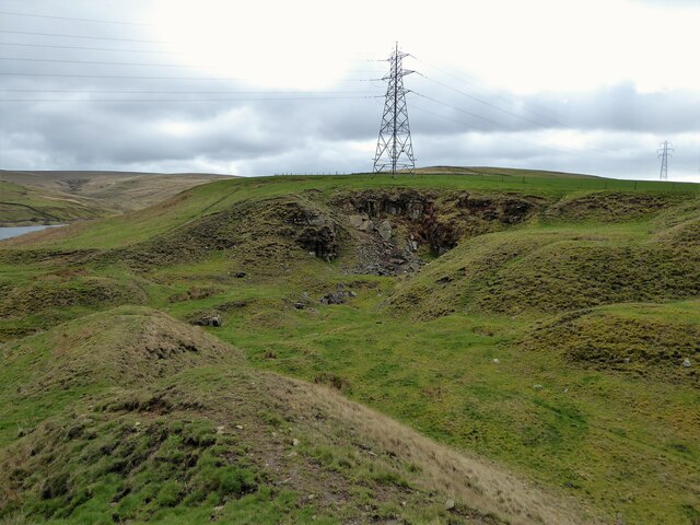
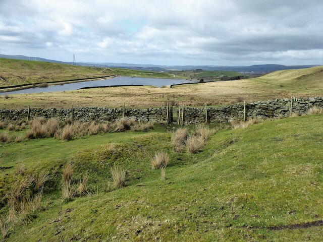
Bonfire Hill is a prominent landmark located in the county of Lancashire, in the northwestern region of England. Situated in the picturesque countryside near the town of Blackburn, this hill is a popular destination for nature lovers and hikers alike.
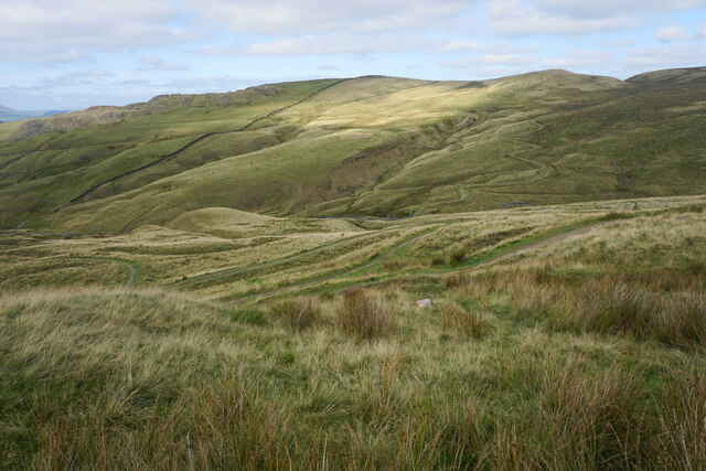
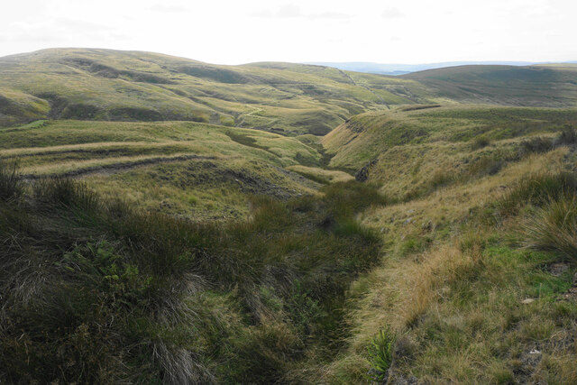
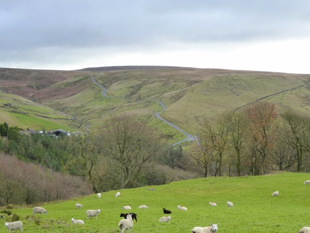
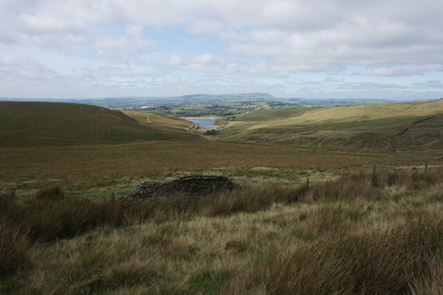
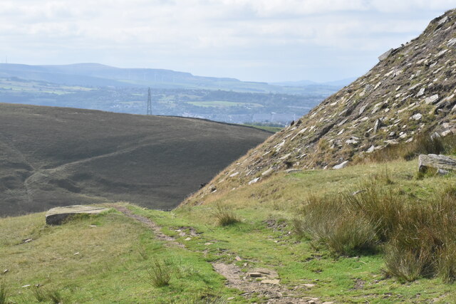
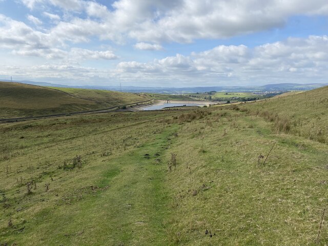
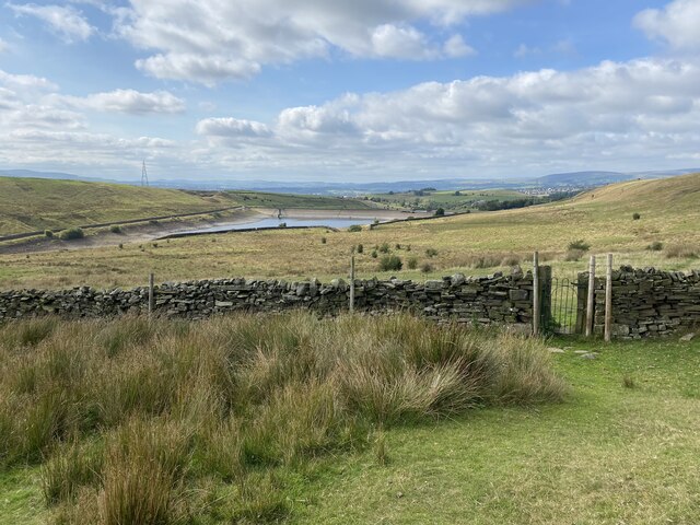
Rising to a height of approximately 300 meters (984 feet), Bonfire Hill offers breathtaking panoramic views of the surrounding landscape. The hill is characterized by its gentle slopes, covered in lush greenery and dotted with trees, providing a serene and tranquil atmosphere for visitors.
The name "Bonfire Hill" is believed to originate from the tradition of lighting bonfires on its summit during festive occasions. Historically, these bonfires were lit to celebrate significant events such as Guy Fawkes Night or May Day.
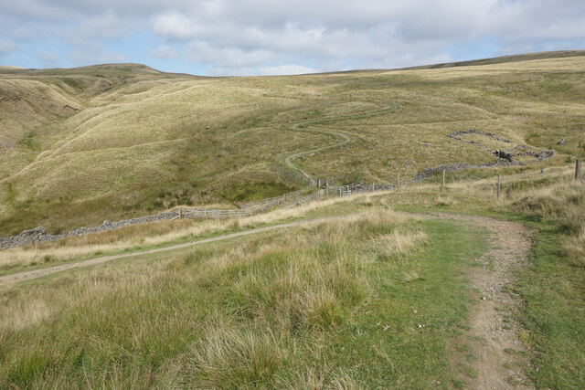
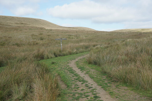
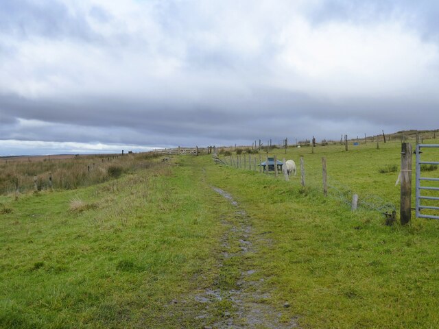
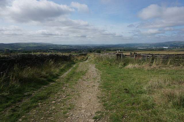
The hill is accessible via well-maintained footpaths that wind their way through the countryside, allowing visitors to explore the area at their own pace. Hiking to the top of Bonfire Hill rewards adventurers with stunning vistas across Lancashire, including views of nearby towns and villages, rolling farmland, and distant hills.
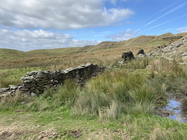
Bonfire Hill is a haven for wildlife enthusiasts, providing a habitat for various bird species, rabbits, and other small mammals. It is also home to a diverse range of plant life, including wildflowers and grasses that thrive in the hill's fertile soil.
With its natural beauty and tranquil surroundings, Bonfire Hill is a must-visit destination for those seeking a peaceful escape into Lancashire's countryside.
If you have any feedback on the listing, please let us know in the comments section below.
Bonfire Hill Images
Images are sourced within 2km of 53.804294/-2.1617796 or Grid Reference SD8934. Thanks to Geograph Open Source API. All images are credited.


Bonfire Hill is located at Grid Ref: SD8934 (Lat: 53.804294, Lng: -2.1617796)
Administrative County: Lancashire
District: Burnley
Police Authority: Lancashire
What 3 Words
///conceals.stirs.sensibly. Near Nelson, Lancashire
Nearby Locations
Related Wikis

Briercliffe
Briercliffe (historically Briercliffe-with-Extwistle) is a civil parish in the borough of Burnley, in Lancashire, England. It is situated 3 miles (4.8...

Haggate
Haggate is a small village within the parish of Briercliffe, situated three miles north of Burnley, Lancashire. The village is mostly built around a small...
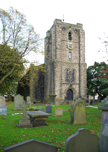
St John the Evangelist's Church, Worsthorne
St John the Evangelist's Church is in Church Square in the village of Worsthorne, Lancashire, England. It is an active Anglican parish church in the deanery...

Queen Street Mill
Queen Street Mill is a former weaving mill in Harle Syke, a suburb to the north-east of Burnley, Lancashire, that is a Grade I listed building. It now...

Worsthorne
Worsthorne is a rural village on the eastern outskirts of Burnley in Lancashire, England. It is in the civil parish of Worsthorne-with-Hurstwood and the...

St James' Church, Briercliffe
St James' Church is in Church Street, Briercliffe, Lancashire, England. It is an active Anglican parish church in the deanery of Burnley, the archdeaconry...

Harle Syke Mill
Harle Syke mill is a weaving shed in Briercliffe on the outskirts of Burnley, Lancashire, England. It was built on a green field site in 1856, together...

Worsthorne-with-Hurstwood
Worsthorne-with-Hurstwood is a civil parish in the Borough of Burnley, in Lancashire, England. Situated on the eastern outskirts of Burnley, in 2011 it...
Related Videos
Winter walk in the woods
Winter walk in my local woodland, low sun filtered through the trees. Throwing a ball for a springer spaniel- trying to tire her out.
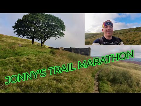
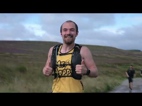
Pennine Trail Marathon 2023 Featuring music by Calvin Harris, Mansun, Kate Bush
Hello this is my video of the Pennine trail marathon 2023, which I took part in. It was a gruelling event, and a medal I will certainly ...
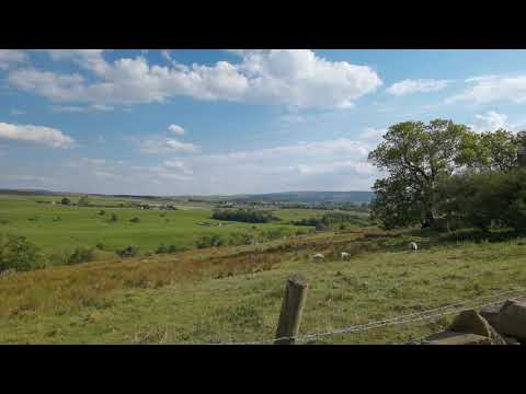
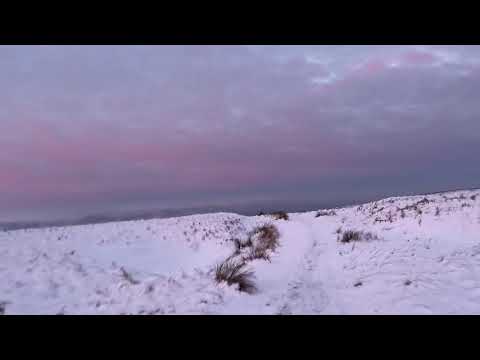
Wonderful Pennine sunrise
I headed up the pennine bridleway to photograph some snow forms I'd seen a few days previously. Alas some cretin face had ...
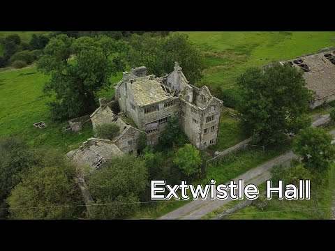
Extwistle Hall | Briercliffe, Burnley | 4K Drone
Extwistle Hall is a Grade II listed mansion and is located in Briercliffe, Burnley. Lancashire. It was built in 1585 by the Parker family ...
Pennine Trails - inov-8 Pennine Trail Marathon 2023 -ShortEvent Video
"The Holy Grail of Pennine Peaks, Pines & Trails" - Relive the trail marathon at the heart of the Pennines at the inov-8 Pennine ...

For Sale: Cross Street, Harle Syke, Burnley, BB10 2HT @cliffordsmithsutcliffe
Clifford Smith Sutcliffe estate agents in Burnley are delighted to bring to the market this deceptively spacious, three-bedroom mid ...

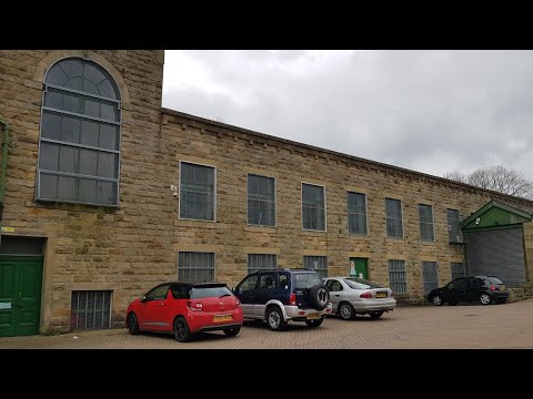
Burnley’s Queen Street Textile Mill
Burnley's Queen Street Textile Mill - We really enjoyed visiting the old Victorian Mill in Burnley where they also filmed the King's ...
Queen Street Mill. April 2021. Filming location for The Kings Speech.
Queen Street and Kings Street Mills. Queen Street mill featured in the movie The Kings Speech. Legendary steeple jack Fred ...
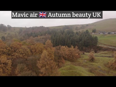
Mavic air 🇬🇧 Autumn beauty bestowed upon us . #drone #dji #mavicair
This was a flight taken this morning on my way to work it was a nice place in the valley to stop and just have a flight , it's not epic ...

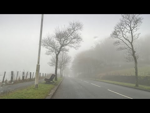
Mavic air 🇬🇧 I'm feeling angels are not real , move on , just move on...." . #dji #drone#fog
Hi everyone , this is fog droning yesterday , it's windy and winter so I went up on the Moors for a flight only to find fog so I thought ...

Mavic air 🇬🇧 last minute flight before dark #dji #drone #mavicair
This was taken yesterday evening at Coldwell Res , it was a lovely evening and I hope I captured it for you . I tried so please enjoy ...

BRIERCLIFFE: Burnley Parish #4 of 8
Extwistle Hall stands high on Extwistle Moor between Haggate and the village of Worsthorne. It's now a ruin but was built in the ...
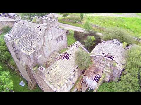
Mjx bugs 12 eis, Extwistle Hall Burnley Lancashire (abandoned building)
Extwistle Hall is a historic Grade II listed mansion which stands high on Extwistle Moor in Briercliffe, Burnley in the ecclesiastical ...
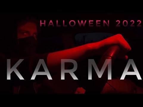
Halloween 2022 - Karma ( a short film )
We'll, it's that time of the year again, Halloween 2022 Our ( very) short film has more than a feel of a certain Hollywood feature film ...

Nearby Amenities
Located within 500m of 53.804294,-2.1617796Have you been to Bonfire Hill?
Leave your review of Bonfire Hill below (or comments, questions and feedback).