Brant Broughton and Stragglethorpe

Civil Parish in Lincolnshire North Kesteven

England

Brant Broughton and Stragglethorpe

Bridleway towards Carlton le Moorland After a kilometre or so this bridleway becomes a footpath.
Bridleway towards Carlton le Moorland Credit: Jonathan Thacker

The requested URL returned error: 429 Too Many Requests

If you have any feedback on the listing, please let us know in the comments section below.

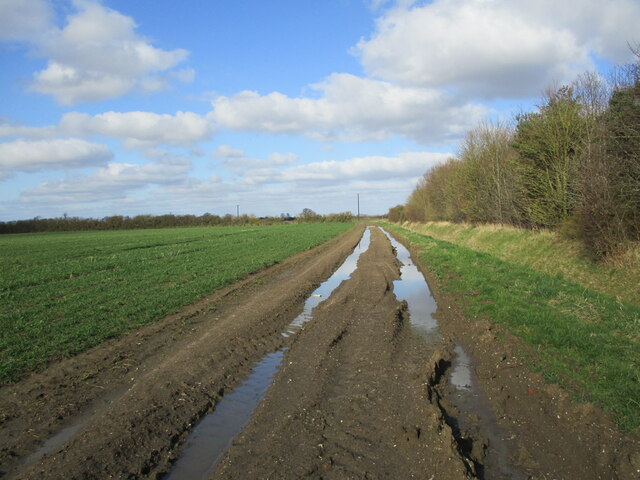
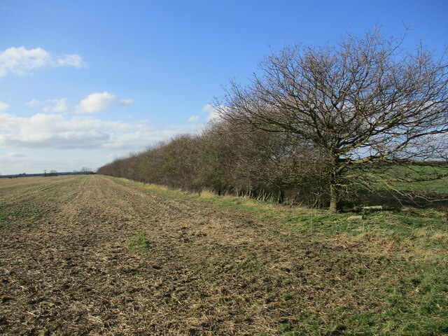
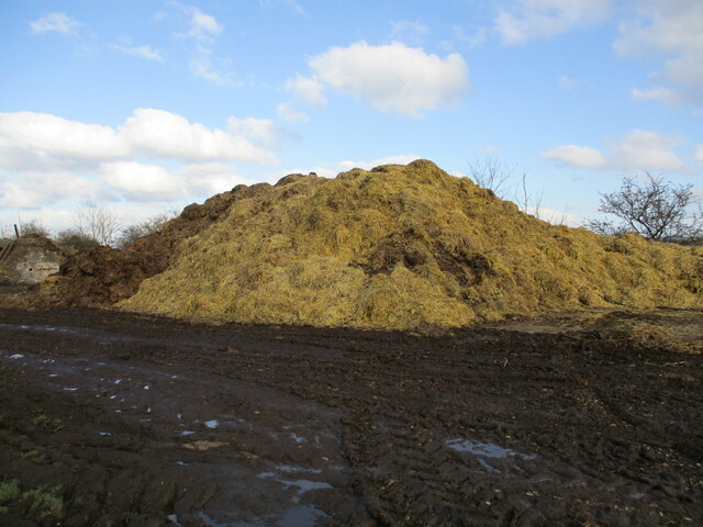
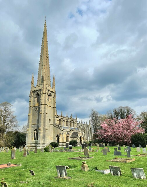
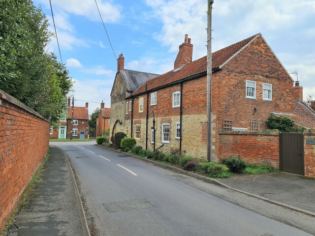
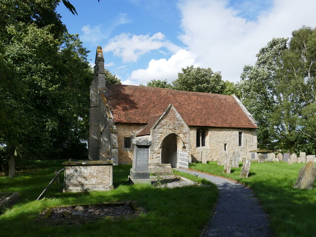
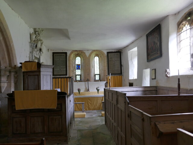
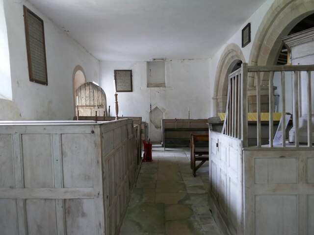
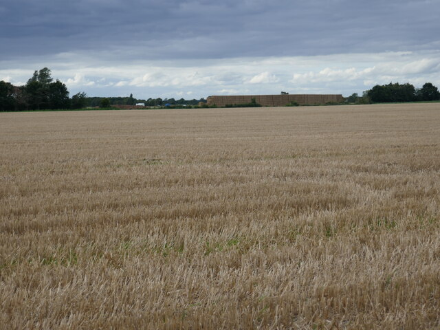
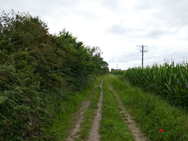
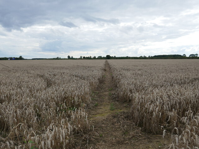
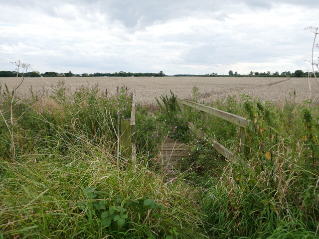
Brant Broughton and Stragglethorpe Images

Images are sourced within 2km of 53.076798/-0.647827 or Grid Reference SK9054. Thanks to Geograph Open Source API. All images are credited.

Bridleway towards Carlton le Moorland After a kilometre or so this bridleway becomes a footpath.
Bridleway towards Carlton le Moorland
After a kilometre or so this bridleway becomes a footpath.
Very muddy bridleway This bridleway turns into a footpath at the hedge ahead.
Very muddy bridleway
This bridleway turns into a footpath at the hedge ahead.
Well established hedge Not an old hedge. Probably planted 25-30 years ago.
Well established hedge
Not an old hedge. Probably planted 25-30 years ago.
Newly arrived from the stable floor
St Helen's Church, Brant Broughton
South porch, St Helen's Church, Brant Broughton
Church Lane, Brant Broughton
St Michael's church, Stragglethorpe Parts date to the eleventh century <span class="nowrap"><a title="https://historicengland.org.uk/listing/the-list/list-entry/1061900?section=official-list-entry" rel="nofollow ugc noopener" href="https://historicengland.org.uk/listing/the-list/list-entry/1061900?section=official-list-entry">Link</a><img style="margin-left:2px;" alt="External link" title="External link - shift click to open in new window" src="https://s1.geograph.org.uk/img/external.png" width="10" height="10"/></span>
St Michael's church, Stragglethorpe
Parts date to the eleventh century LinkExternal link
St Michael's church, Stragglethorpe, interior looking east
St Michael's church, Stragglethorpe, interior looking west
Stubble field and the Great Wall of Stragglethorpe The 'Great Wall of Stragglethorpe' is a long strawstack which is still being added to.
Stubble field and the Great Wall of Stragglethorpe
The 'Great Wall of Stragglethorpe' is a long strawstack which is still being added to.
Southern Lane A field of maize on the right.
Southern Lane
A field of maize on the right.
Footpath near Brant Broughton This once went through to Fenton but several sections are missing and others not maintained.
Footpath near Brant Broughton
This once went through to Fenton but several sections are missing and others not maintained.
Footbridge on a footpath that once ran to Fenton Parts of this footpath were closed with the opening of RAF Fulbeck in WW2 and have never been re-instated. Other sections are not maintained.
Footbridge on a footpath that once ran to Fenton
Parts of this footpath were closed with the opening of RAF Fulbeck in WW2 and have never been re-instated. Other sections are not maintained.
Green Lane Or is this Southern Lane? OS doesn't make it clear.
Green Lane
Or is this Southern Lane? OS doesn't make it clear.
Green Lane Dead elms on the right. These will regenerate through suckers which with then grow to about 6 metres before succumbing to Dutch Elm Disease.
Green Lane
Dead elms on the right. These will regenerate through suckers which with then grow to about 6 metres before succumbing to Dutch Elm Disease.
Footpath through a wildlife conservation area, Brant Broughton
Footpath to Church Walk, Brant Broughton St Helen's church on the right.
Footpath to Church Walk, Brant Broughton
St Helen's church on the right.
Show me another place!

Brant Broughton and Stragglethorpe is located at Grid Ref: SK9054 (Lat: 53.076798, Lng: -0.647827)

Administrative County: Lincolnshire

District: North Kesteven

Police Authority: Lincolnshire

What 3 Words

///slipped.indulgent.dawn. Near Bassingham, Lincolnshire

Related Wikis

St Helen's Church, Brant Broughton

St Helen's Church is an Anglican church in Brant Broughton, Lincolnshire, England. It is a Grade I listed building. == History == St Helen's Church a medieval...

Brant Broughton

Brant Broughton (pronounced Brew-ton) is a small village in the civil parish of Brant Broughton and Stragglethorpe, in the North Kesteven district of Lincolnshire...

Stragglethorpe

Stragglethorpe is a village in the civil parish of Brant Broughton with Stragglethorpe, in the North Kesteven district of Lincolnshire, England. The village...

Beckingham, Lincolnshire

Beckingham is a village and civil parish in the North Kesteven district of Lincolnshire, England. The population of the civil parish (including Stapleford...

Nearby Amenities

Located within 500m of 53.076798,-0.647827
The data included in this document is from www.openstreetmap.org. The data is made available under ODbL.

Have you been to Brant Broughton and Stragglethorpe?

Leave your review of Brant Broughton and Stragglethorpe below (or comments, questions and feedback).