Branston and Mere
Civil Parish in Lincolnshire North Kesteven
England
Branston and Mere

Branston and Mere is a civil parish located in the North Kesteven district of Lincolnshire, England. It is situated approximately 6 miles south of the city of Lincoln and covers an area of around 15.4 square kilometers. The parish is predominantly rural, with a population of approximately 1,600 people.
The village of Branston is the largest settlement within the parish and serves as its administrative center. It is a picturesque village with a rich history dating back to the Roman times. The village is known for its charming cottages, traditional architecture, and well-preserved historic buildings. One notable landmark is the Branston All Saints Church, a Grade I listed building that dates back to the 13th century.
Mere, on the other hand, is a smaller hamlet located to the south of Branston. It is a quiet and peaceful area, surrounded by open fields and farmland. Mere has a close-knit community and offers a tranquil countryside living experience.
The parish is well-connected to nearby towns and cities through road networks. It also benefits from good transportation links, with regular bus services to Lincoln and other nearby areas.
Branston and Mere offer a range of amenities and facilities to its residents, including a primary school, a village hall, a post office, and a few local shops. The area is known for its natural beauty, with plenty of walking and cycling routes, making it an ideal place for outdoor enthusiasts and nature lovers.
If you have any feedback on the listing, please let us know in the comments section below.
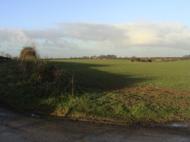
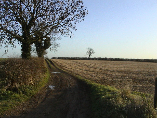
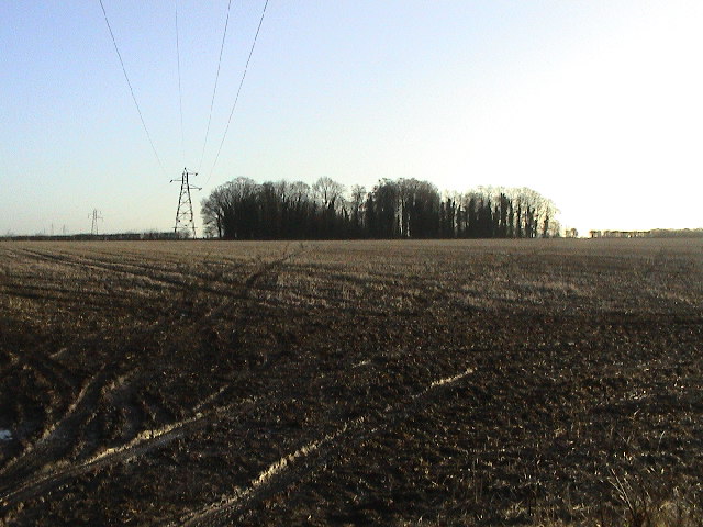
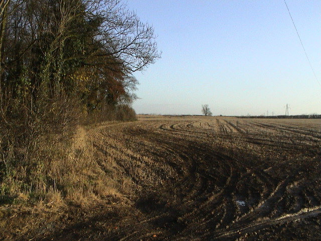
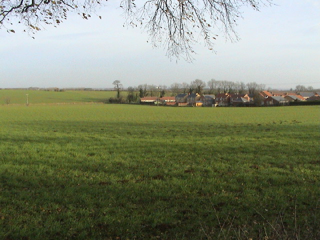
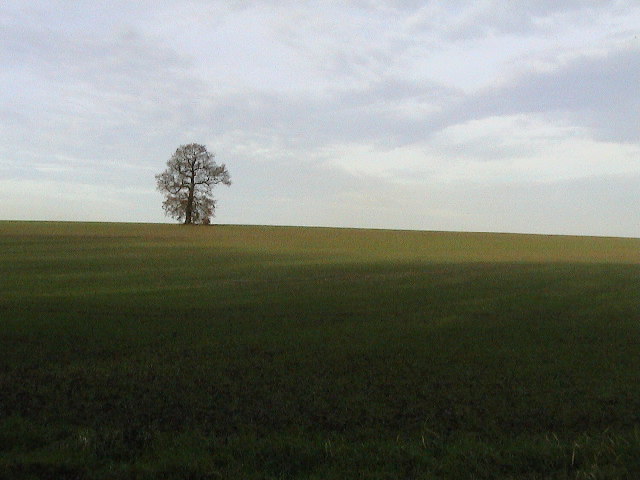
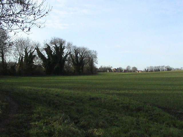
Branston and Mere Images
Images are sourced within 2km of 53.184641/-0.475861 or Grid Reference TF0166. Thanks to Geograph Open Source API. All images are credited.


Branston and Mere is located at Grid Ref: TF0166 (Lat: 53.184641, Lng: -0.475861)
Administrative County: Lincolnshire
District: North Kesteven
Police Authority: Lincolnshire
What 3 Words
///reserved.teaches.chairing. Near Branston, Lincolnshire
Nearby Locations
Related Wikis

Branston Rural District
Branston was a rural district in Kesteven in Lincolnshire, England from 1894 to 1931. It was formed under the Local Government Act 1894 from the part...

Branston and Mere
Branston and Mere is a civil parish in the North Kesteven district of Lincolnshire, England, about 4 miles (6 km) roughly south-east of Lincoln. The parish...

Branston, Lincolnshire
Branston is a large village in the North Kesteven district of Lincolnshire, England, 4 miles (6 km) south-east of Lincoln on the B1188 road to Sleaford...
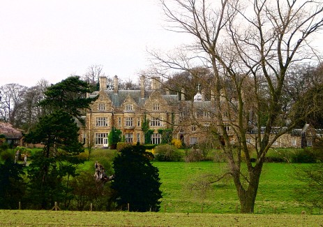
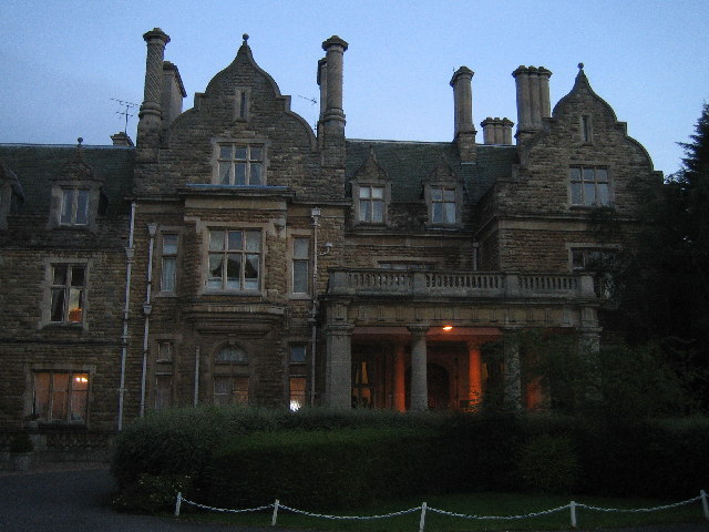
Branston Hall
Branston Hall is a country house in the village of Branston, Lincolnshire, England. The hall, a Grade II listed building, is set in 88 acres (3.56 square...

Branston Community Academy
Branston Community Academy, (formerly Branston School and Community College) is a secondary school for 11- to 18-year-old students on Station Road in Branston...

Potterhanworth railway station
Potterhanworth railway station is a former railway station in Potterhanworth, Lincolnshire. It was on the still-open line between Lincoln and Sleaford...
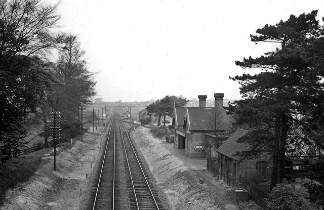
Branston and Heighington railway station
Branston and Heighington railway station was a station in the village of Heighington, Lincolnshire, on the line between Lincoln and Sleaford. == References ==

Heighington, Lincolnshire
Heighington ( HAY-ing-tən) is a village and civil parish in the North Kesteven district of Lincolnshire, England. It is situated about 4 miles (6 km) south...
Nearby Amenities
Located within 500m of 53.184641,-0.475861Have you been to Branston and Mere?
Leave your review of Branston and Mere below (or comments, questions and feedback).