Hare Wood
Wood, Forest in Lincolnshire North Kesteven
England
Hare Wood
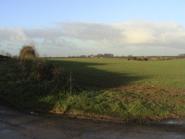
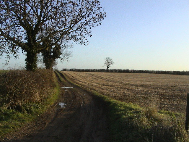
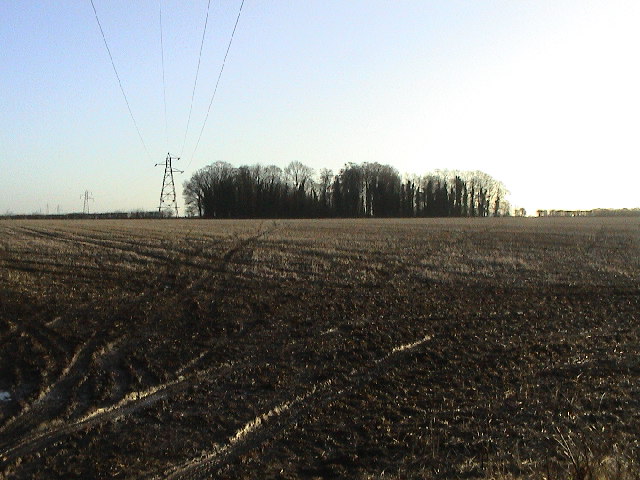
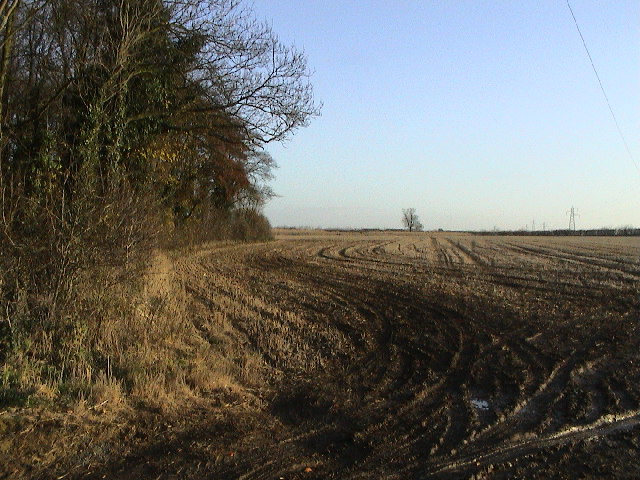
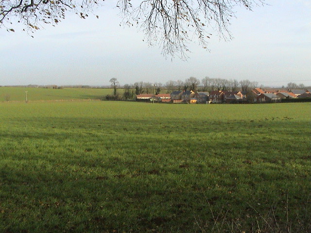
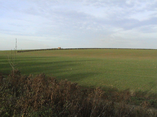
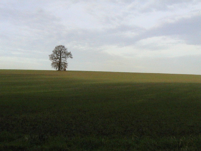
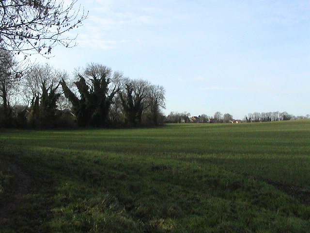
Hare Wood is a beautiful forest located in Lincolnshire, England. Covering an area of approximately 100 hectares, it is a popular destination for nature lovers and outdoor enthusiasts. The wood is predominantly made up of deciduous trees, such as oak, ash, and beech, which create a dense and rich canopy overhead. This provides a habitat for a diverse range of wildlife, including various bird species, mammals, and insects.
The forest is known for its well-maintained walking trails, which wind their way through the wood, allowing visitors to explore and appreciate the natural beauty of the area. These paths are suitable for all ages and fitness levels, making it an ideal location for families and casual walkers.
Hare Wood is also home to a number of ancient trees, some of which are believed to be over 200 years old. These majestic giants stand tall and proud, providing a sense of history and continuity to the area. Many of the trees have been carefully marked and labeled, allowing visitors to learn about their species and significance.
In addition to its natural attractions, Hare Wood offers a range of amenities to enhance visitors' experience. There are picnic areas and benches scattered throughout the forest, providing opportunities to relax and enjoy a meal amidst the tranquil surroundings. The wood is also equipped with well-maintained public toilets and ample parking facilities.
Overall, Hare Wood in Lincolnshire is a captivating destination that offers a perfect blend of natural beauty, wildlife, and recreational opportunities. It is a place where visitors can immerse themselves in nature and experience the peacefulness and serenity of the forest.
If you have any feedback on the listing, please let us know in the comments section below.
Hare Wood Images
Images are sourced within 2km of 53.186739/-0.48529918 or Grid Reference TF0166. Thanks to Geograph Open Source API. All images are credited.


Hare Wood is located at Grid Ref: TF0166 (Lat: 53.186739, Lng: -0.48529918)
Administrative County: Lincolnshire
District: North Kesteven
Police Authority: Lincolnshire
What 3 Words
///scared.complains.coping. Near Branston, Lincolnshire
Nearby Locations
Related Wikis
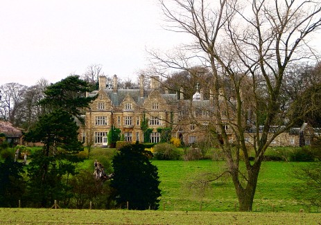
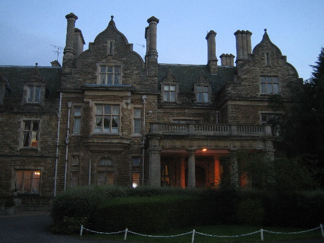
Branston Hall
Branston Hall is a country house in the village of Branston, Lincolnshire, England. The hall, a Grade II listed building, is set in 88 acres (3.56 square...

Branston Rural District
Branston was a rural district in Kesteven in Lincolnshire, England from 1894 to 1931. It was formed under the Local Government Act 1894 from the part...

Branston, Lincolnshire
Branston is a large village in the North Kesteven district of Lincolnshire, England, 4 miles (6 km) south-east of Lincoln on the B1188 road to Sleaford...

Branston and Mere
Branston and Mere is a civil parish in the North Kesteven district of Lincolnshire, England, about 4 miles (6 km) roughly south-east of Lincoln. The parish...

Branston Community Academy
Branston Community Academy, (formerly Branston School and Community College) is a secondary school for 11- to 18-year-old students on Station Road in Branston...
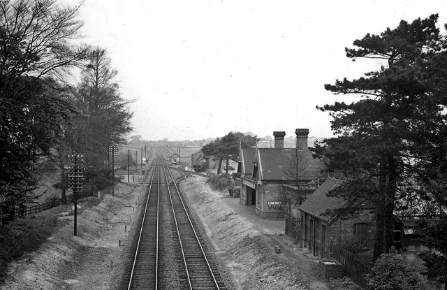
Branston and Heighington railway station
Branston and Heighington railway station was a station in the village of Heighington, Lincolnshire, on the line between Lincoln and Sleaford. == References ==

Potterhanworth railway station
Potterhanworth railway station is a former railway station in Potterhanworth, Lincolnshire. It was on the still-open line between Lincoln and Sleaford...

Fens and Anglian system
The Fens and Anglian system is a collection of rivers in East Anglia in England that are navigable and for which the Environment Agency is the navigation...
Nearby Amenities
Located within 500m of 53.186739,-0.48529918Have you been to Hare Wood?
Leave your review of Hare Wood below (or comments, questions and feedback).