Creek Copse
Wood, Forest in Surrey Waverley
England
Creek Copse
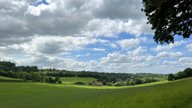
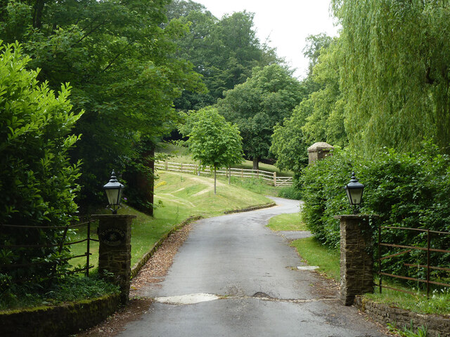
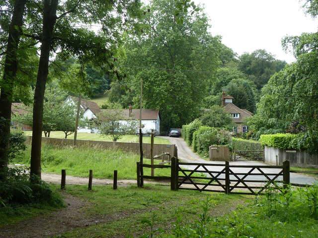
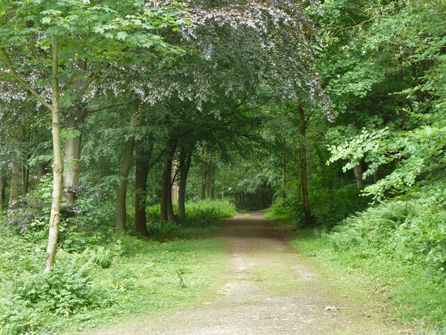
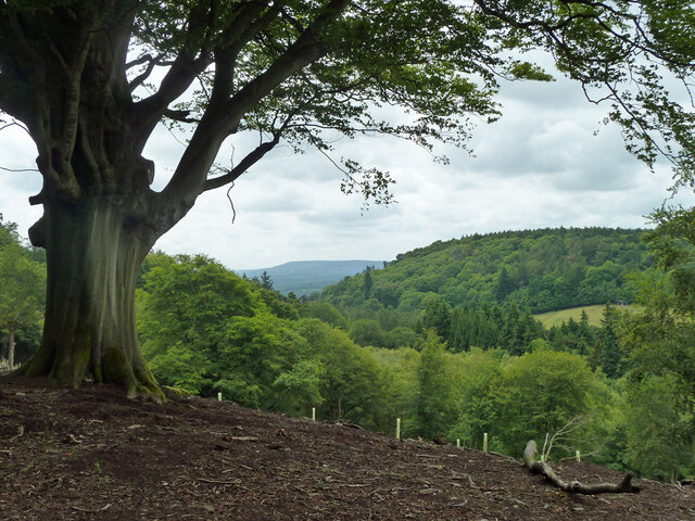
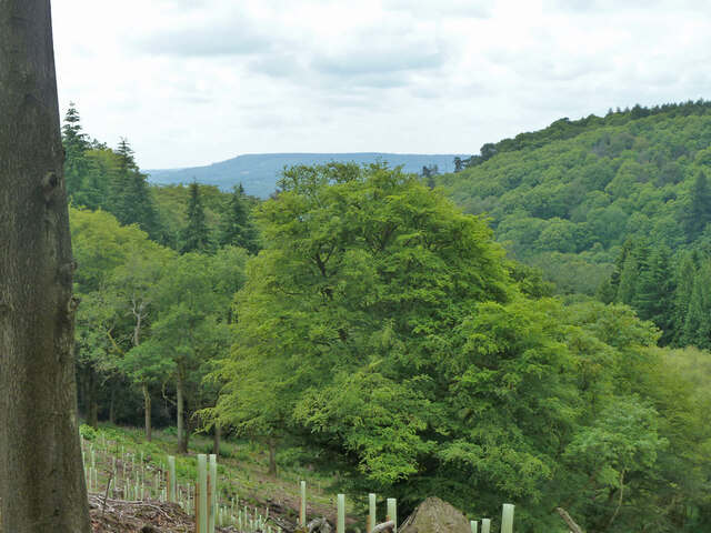
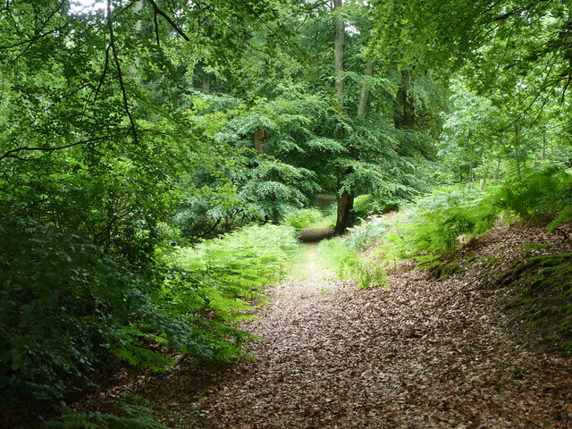
Creek Copse is a picturesque woodland located in Surrey, England. Stretching across an area of approximately 100 acres, it is characterized by its dense growth of deciduous trees and vibrant flora and fauna. The copse is situated within the larger Surrey Hills Area of Outstanding Natural Beauty, further adding to its allure.
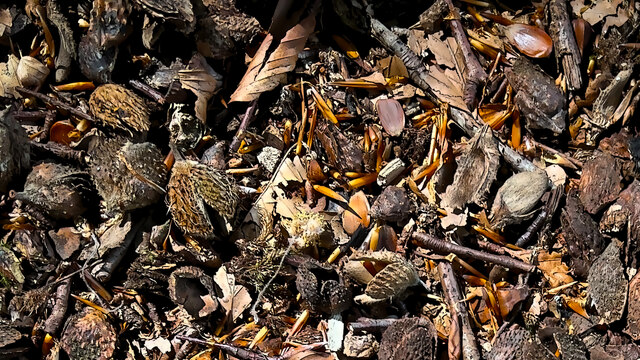
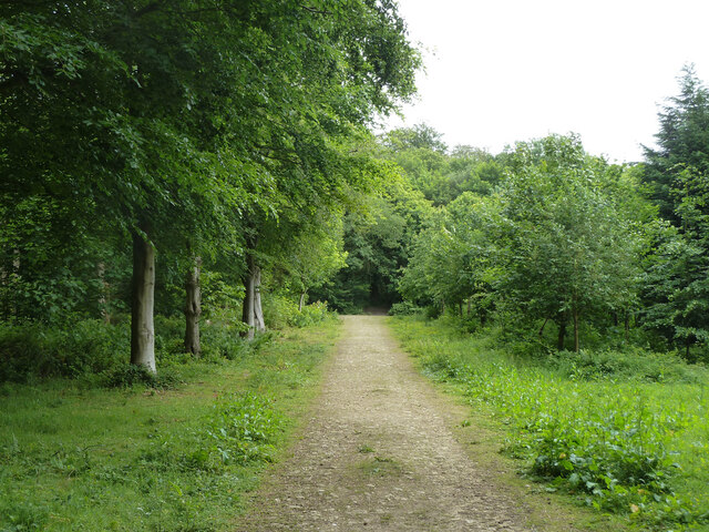
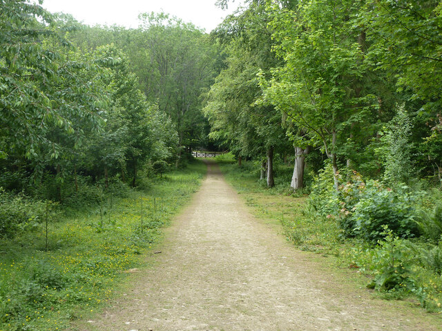
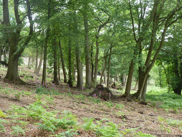
The woodland is primarily composed of oak, beech, and birch trees, which create a lush canopy that provides shade and shelter to a wide variety of wildlife. The forest floor is adorned with a carpet of bluebells in the spring, creating a stunning display of color and fragrance. Additionally, the copse is home to an array of wildflowers, ferns, and mosses, contributing to its rich biodiversity.
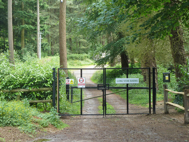
Creek Copse offers a haven for nature enthusiasts and outdoor enthusiasts alike. Its well-maintained footpaths and trails allow visitors to explore the woodland at their own pace. The tranquil atmosphere and natural beauty make it an ideal location for hiking, birdwatching, and photography.
The copse is also home to a diverse range of wildlife. Bird species such as woodpeckers, owls, and songbirds can be spotted throughout the year, while squirrels, rabbits, and deer are commonly seen among the trees. The copse provides a vital habitat for these creatures, offering food, water, and shelter.
Overall, Creek Copse in Surrey is a captivating woodland that showcases the beauty of nature. Its lush vegetation, scenic trails, and abundant wildlife make it a popular destination for both locals and tourists seeking a peaceful retreat in the heart of the English countryside.
If you have any feedback on the listing, please let us know in the comments section below.
Creek Copse Images
Images are sourced within 2km of 51.142537/-0.55323113 or Grid Reference TQ0139. Thanks to Geograph Open Source API. All images are credited.


Creek Copse is located at Grid Ref: TQ0139 (Lat: 51.142537, Lng: -0.55323113)
Administrative County: Surrey
District: Waverley
Police Authority: Surrey
What 3 Words
///mealtime.courtyard.plank. Near Cranleigh, Surrey
Nearby Locations
Related Wikis

Hascombe Hill
Hascombe Hill or Hascombe Camp is the site of an Iron Age multivallate hill fort close to the village of Hascombe in Surrey, England. == History == The...

Hascombe
Hascombe is a village and civil parish in Surrey, England. It is around 3 miles (4.8 km) southeast of Godalming in the Borough of Waverley. The settlement...

Hascombe Court
Hascombe Court is a 172-acre (70 ha) estate in Hascombe, Surrey, best known for its vast garden designed by Gertrude Jekyll. Hascombe Court is listed Grade...

Winkworth Arboretum
Winkworth Arboretum is a National Trust-owned arboretum in the spread-out civil parish of Busbridge between Godalming and Hascombe, south-west Surrey,...
Nearby Amenities
Located within 500m of 51.142537,-0.55323113Have you been to Creek Copse?
Leave your review of Creek Copse below (or comments, questions and feedback).