Coldbourne Copse
Wood, Forest in Surrey Waverley
England
Coldbourne Copse
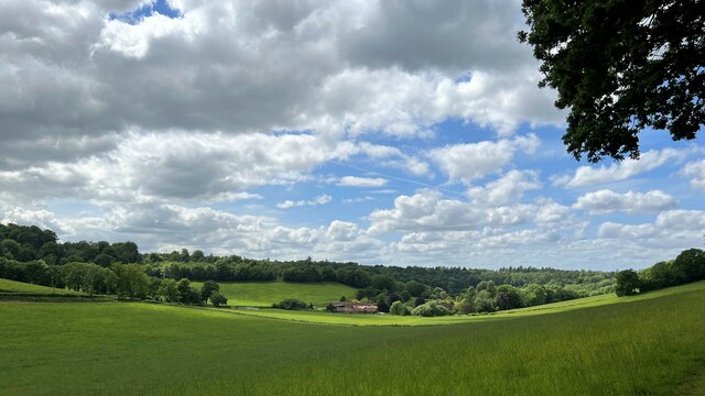
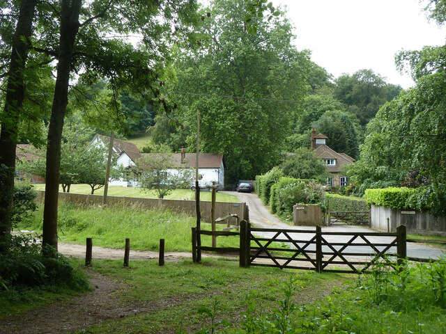
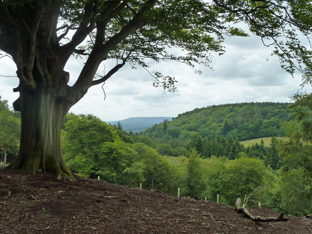
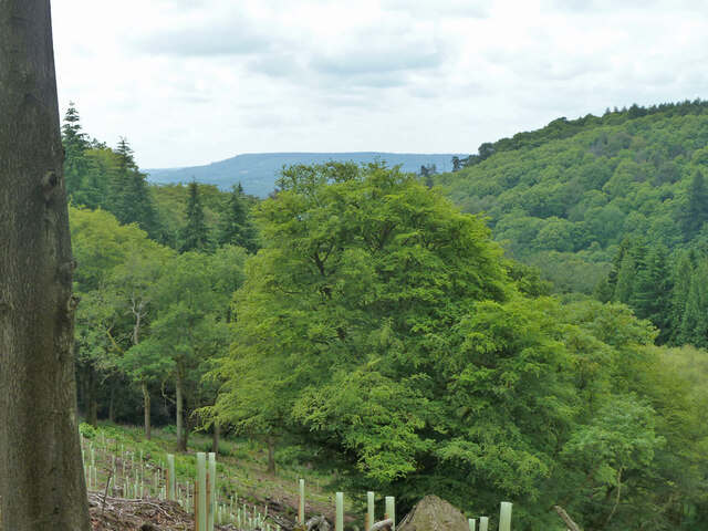
Coldbourne Copse is a picturesque woodland located in Surrey, England. Covering an area of approximately 100 acres, it is a haven of tranquility and natural beauty. The copse is situated on the southern slopes of the North Downs, providing visitors with stunning views of the surrounding countryside.
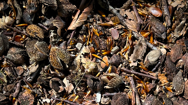
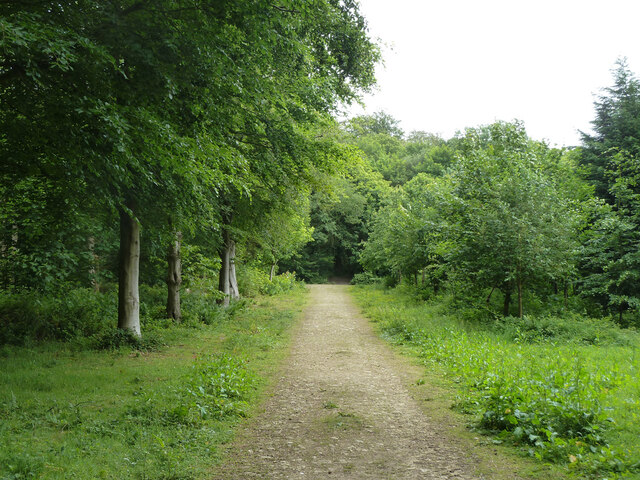
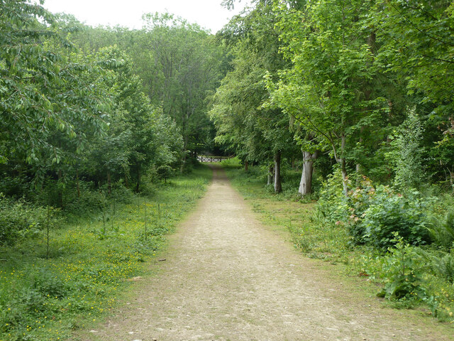
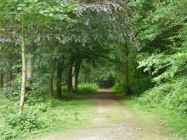
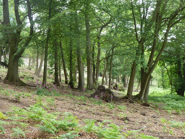
The woodland is predominantly made up of broadleaf trees such as oak, beech, and ash, creating a diverse and vibrant ecosystem. The dense canopy of the trees provides shelter for a variety of wildlife, including birds, small mammals, and insects. The forest floor is covered in a thick layer of leaf litter, home to numerous fungi and woodland plants.
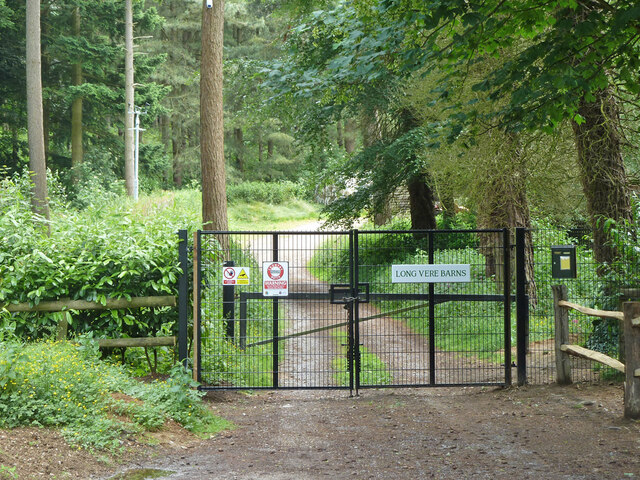
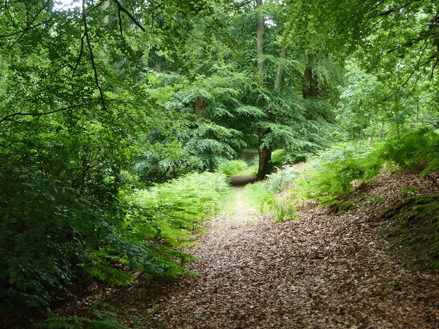
Visitors to Coldbourne Copse can enjoy a network of well-maintained footpaths that wind their way through the woodland. These paths offer the opportunity for leisurely strolls, birdwatching, or simply immersing oneself in the peaceful atmosphere. There are also designated picnic areas where visitors can relax and enjoy the sounds of nature.
The copse is managed by the local authorities, who ensure the preservation of its natural beauty and biodiversity. The management practices include selective tree felling, which allows for the growth of young trees and promotes the diversity of the woodland.
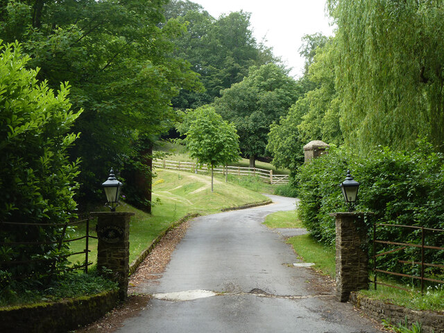
Coldbourne Copse is a popular destination for nature enthusiasts, hikers, and families looking to escape the hustle and bustle of everyday life. With its stunning scenery, abundant wildlife, and well-maintained trails, it offers a truly immersive experience in the heart of Surrey's countryside.
If you have any feedback on the listing, please let us know in the comments section below.
Coldbourne Copse Images
Images are sourced within 2km of 51.148174/-0.5472645 or Grid Reference TQ0139. Thanks to Geograph Open Source API. All images are credited.


Coldbourne Copse is located at Grid Ref: TQ0139 (Lat: 51.148174, Lng: -0.5472645)
Administrative County: Surrey
District: Waverley
Police Authority: Surrey
What 3 Words
///aboard.wobbles.extension. Near Cranleigh, Surrey
Nearby Locations
Related Wikis

Hascombe
Hascombe is a village and civil parish in Surrey, England. It is around 3 miles (4.8 km) southeast of Godalming in the Borough of Waverley. The settlement...

Hascombe Hill
Hascombe Hill or Hascombe Camp is the site of an Iron Age multivallate hill fort close to the village of Hascombe in Surrey, England. == History == The...

Hascombe Court
Hascombe Court is a 172-acre (70 ha) estate in Hascombe, Surrey, best known for its vast garden designed by Gertrude Jekyll. Hascombe Court is listed Grade...

Winkworth Arboretum
Winkworth Arboretum is a National Trust-owned arboretum in the spread-out civil parish of Busbridge between Godalming and Hascombe, south-west Surrey,...
Have you been to Coldbourne Copse?
Leave your review of Coldbourne Copse below (or comments, questions and feedback).