Staxton Brow Plantation

Wood, Forest in Yorkshire Ryedale

England

Staxton Brow Plantation

Dual use path beside the A64, Binnington Towards Staxton.
Showing position of Postbox No. YO12 120.
See <a href="https://www.geograph.org.uk/photo/7672488">SE9978 : Elizabeth II postbox on Malton Road, Binnington</a> for postbox.
Dual use path beside the A64, Binnington Credit: JThomas

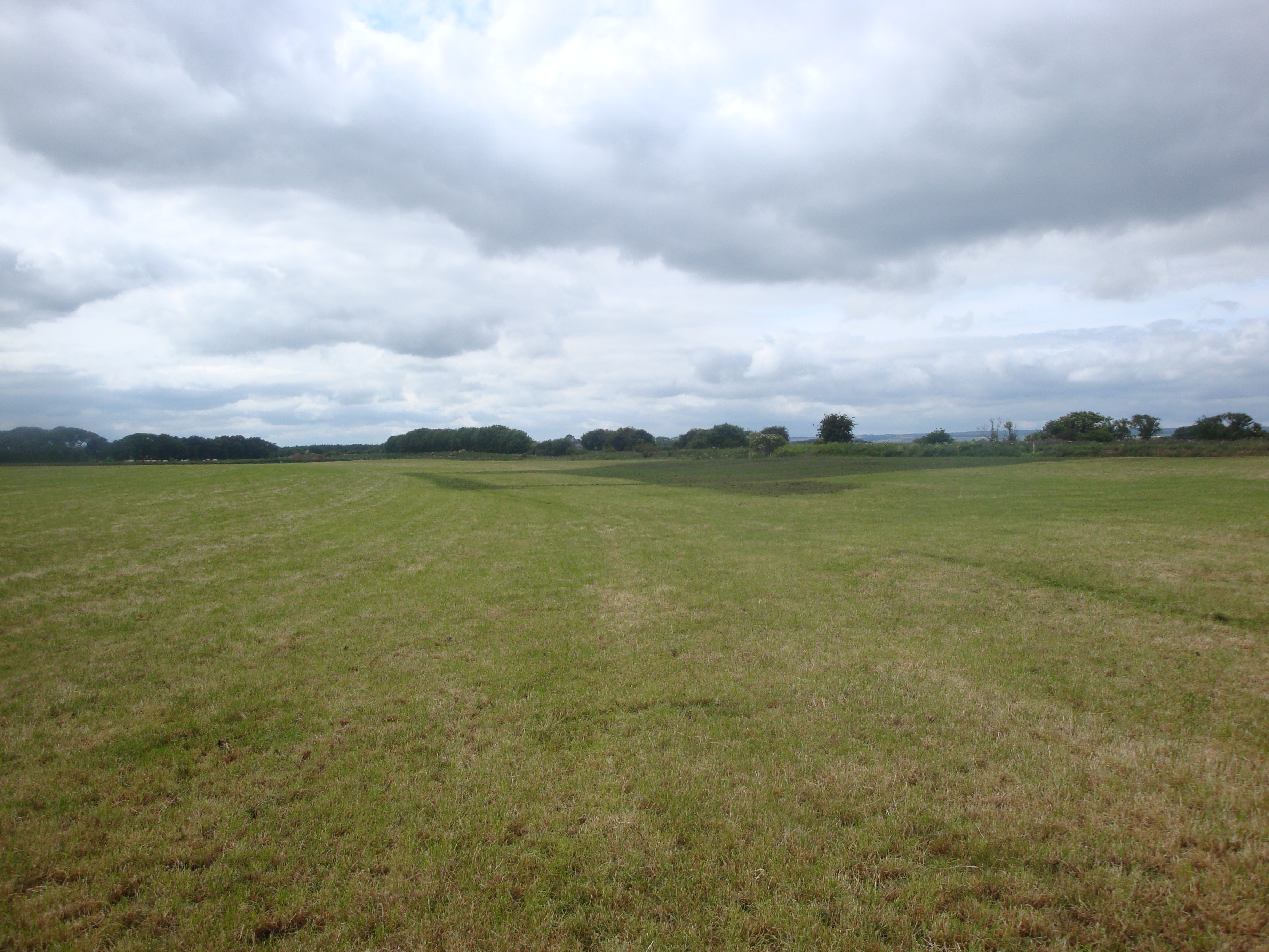
Staxton Brow Plantation is a picturesque woodland located in the county of Yorkshire, England. Situated near the village of Staxton, the plantation covers a vast area of approximately 100 acres. Known for its natural beauty and diverse flora and fauna, Staxton Brow attracts nature enthusiasts, hikers, and wildlife photographers throughout the year.

The woodland at Staxton Brow is predominantly composed of native broadleaf trees such as oak, beech, and birch, creating a dense and lush canopy that provides shelter to a wide variety of wildlife. The woodland floor is adorned with an array of wildflowers, including bluebells, primroses, and wood anemones, adding a vibrant touch to the landscape during springtime.

Walking trails meander through the plantation, allowing visitors to explore the woodland at their own pace. These paths provide an opportunity to discover the beauty of the surrounding nature, listen to the melodious songs of the birds, and immerse oneself in the peaceful ambiance of the forest.

Staxton Brow Plantation is also home to numerous animal species, including deer, foxes, badgers, and a variety of birds. Birdwatchers can spot species such as woodpeckers, owls, and various songbirds, making it a haven for birding enthusiasts.

Managed by the local forestry commission, the plantation is kept in excellent condition, ensuring the preservation of its natural ecosystem. Visitors can enjoy the tranquility of Staxton Brow, while also appreciating the efforts taken to maintain and protect this beautiful woodland in Yorkshire.

If you have any feedback on the listing, please let us know in the comments section below.

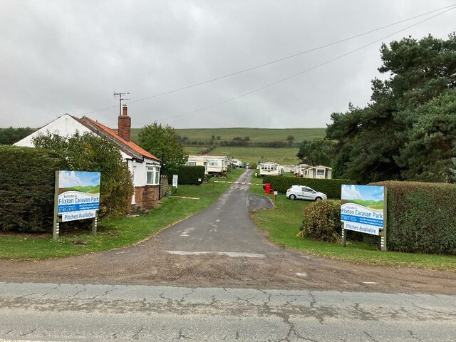
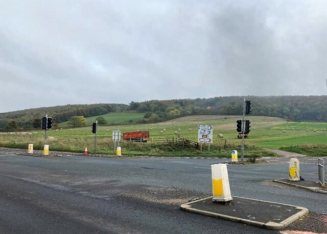
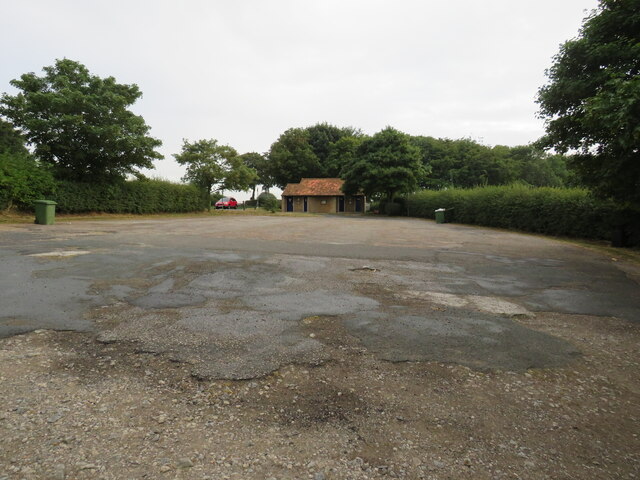
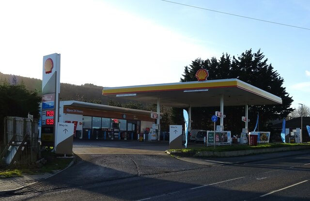
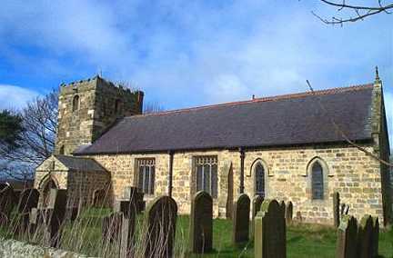
Staxton Brow Plantation Images

Images are sourced within 2km of 54.191854/-0.44257985 or Grid Reference TA0178. Thanks to Geograph Open Source API. All images are credited.

Dual use path beside the A64, Binnington Towards Staxton.
Showing position of Postbox No. YO12 120.
See <a href="https://www.geograph.org.uk/photo/7672488">SE9978 : Elizabeth II postbox on Malton Road, Binnington</a> for postbox.
Dual use path beside the A64, Binnington
Towards Staxton. Showing position of Postbox No. YO12 120. See SE9978 : Elizabeth II postbox on Malton Road, Binnington for postbox.
Elizabeth II postbox on Malton Road, Binnington Postbox No. YO12 120.
See <a href="https://www.geograph.org.uk/photo/7672484">SE9978 : Dual use path beside the A64, Binnington</a> and <a href="https://www.geograph.org.uk/photo/7672482">SE9978 : Dual use path beside the A64, Binnington</a> for context.
Elizabeth II postbox on Malton Road, Binnington
Close up, Elizabeth II postbox on Malton Road, Binnington Postbox No. YO12 120.
See <a href="https://www.geograph.org.uk/photo/7672484">SE9978 : Dual use path beside the A64, Binnington</a> and <a href="https://www.geograph.org.uk/photo/7672482">SE9978 : Dual use path beside the A64, Binnington</a> for context.
Close up, Elizabeth II postbox on Malton Road, Binnington
Farmland at Willerby Carr
Flixton Caravan Park Park entrance pictured from the path next to the A1039 at Flixton Ings.
Flixton Caravan Park
Park entrance pictured from the path next to the A1039 at Flixton Ings.
A1039 Road at Staxton Staxton Brow (situated to the south in TA0178) rises in the distance.
A1039 Road at Staxton
Staxton Brow (situated to the south in TA0178) rises in the distance.
Car Park, Willerby Brow
Service station on the A64 Petrol 143.9p.
Diesel 153.9p.
Service station on the A64
Petrol 143.9p. Diesel 153.9p.
Service station on the A64 Petrol 143.9p.
Diesel 153.9p.
Service station on the A64
Petrol 143.9p. Diesel 153.9p.
Butchers on Main Street, Staxton Showing position of Postbox No. YO12 95.
See for <a href="https://www.geograph.org.uk/photo/7672229">TA0179 : Elizabeth II postbox on Main Street, Staxton</a> postbox.
Butchers on Main Street, Staxton
Showing position of Postbox No. YO12 95. See for TA0179 : Elizabeth II postbox on Main Street, Staxton postbox.
Main Street, Staxton Showing position of Postbox No. YO12 95.
See for <a href="https://www.geograph.org.uk/photo/7672229">TA0179 : Elizabeth II postbox on Main Street, Staxton</a> postbox.
Main Street, Staxton
Showing position of Postbox No. YO12 95. See for TA0179 : Elizabeth II postbox on Main Street, Staxton postbox.
Elizabeth II postbox on Main Street, Staxton Postbox No. YO12 95.
See <a href="https://www.geograph.org.uk/photo/7672221">TA0179 : Butchers on Main Street, Staxton</a> and <a href="https://www.geograph.org.uk/photo/7672223">TA0179 : Main Street, Staxton</a> for context.
Elizabeth II postbox on Main Street, Staxton
Bus stop and shelter on the A64, Staxton
Garage on Old Malton Road, Staxton
GMEC Motorcycles, Staxton Former Hare and Hounds Inn - <a href="https://www.geograph.org.uk/photo/5421246">TA0179 : The Hare and Hounds, Staxton</a>
GMEC Motorcycles, Staxton
Former Hare and Hounds Inn - TA0179 : The Hare and Hounds, Staxton
Garage on Main Street, Staxton
Willerby Grange
Willerby Grange
Show me another place!

Staxton Brow Plantation is located at Grid Ref: TA0178 (Lat: 54.191854, Lng: -0.44257985)

Division: East Riding

Administrative County: North Yorkshire

District: Ryedale

Police Authority: North Yorkshire

What 3 Words

///spectacle.meanest.bride. Near Wold Newton, East Yorkshire

Related Wikis

Staxton

Staxton is a village in North Yorkshire, England, part of the civil parish of Willerby, and situated approximately 8.2 miles from Scarborough town centre...

Willerby, North Yorkshire

Willerby is a small village and civil parish in North Yorkshire, England. It is contiguous with neighbouring Staxton. The villages of Staxton, Willerby...

Binnington Carr Hoard

The Binnington Carr Hoard is a Roman coin hoard dating from the late 1st century AD. It contains 12 silver denarii within a copper alloy bell. It is in...

RRH Staxton Wold

Remote Radar Head Staxton Wold or RRH Staxton Wold is an air defence radar station operated by the Royal Air Force, located near Scarborough in North Yorkshire...

Sherburn Rural District

Sherburn was a rural district in the East Riding of Yorkshire from 1894 to 1935. It was formed under the Local Government Act 1894 from that part of the...

Flixton, North Yorkshire

Flixton is a village in North Yorkshire, England. Until 1974 the village lay in the historic county boundaries of the East Riding of Yorkshire and from...

Star Carr

Star Carr is a Mesolithic archaeological site in North Yorkshire, England. It is around five miles (8 km) south of Scarborough. It is generally regarded...

Star Carr Pendant

The Star Carr Pendant is a unique engraved shale pendant from the Mesolithic site of Star Carr in North Yorkshire. It has been described as the oldest...

Have you been to Staxton Brow Plantation?

Leave your review of Staxton Brow Plantation below (or comments, questions and feedback).