Bowland Forest Low
Civil Parish in Yorkshire Ribble Valley
England
Bowland Forest Low

Bowland Forest Low is a civil parish located in the county of Yorkshire, England. Situated in the heart of the picturesque Bowland Forest, it covers an area of approximately 25 square kilometers. The parish consists of a collection of small villages and hamlets, including Dunsop Bridge, Newton-in-Bowland, Slaidburn, and Tosside.
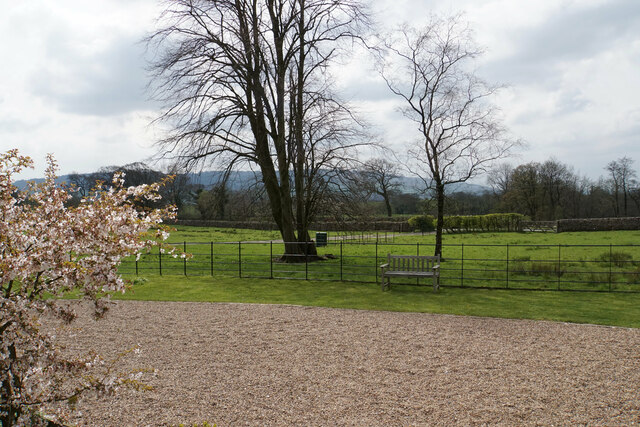
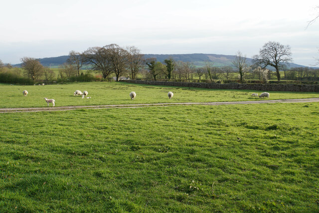
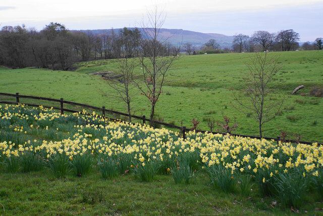
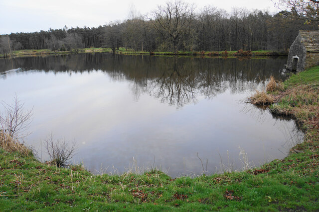
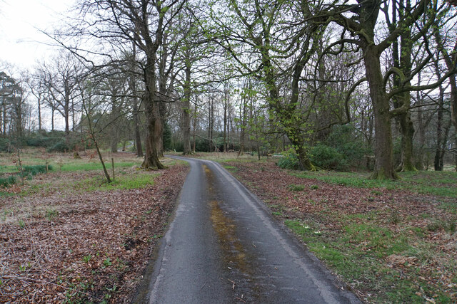
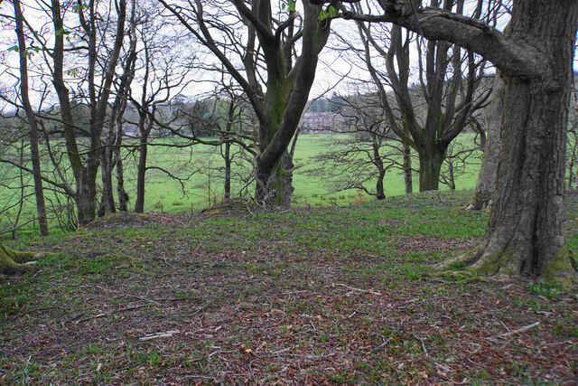
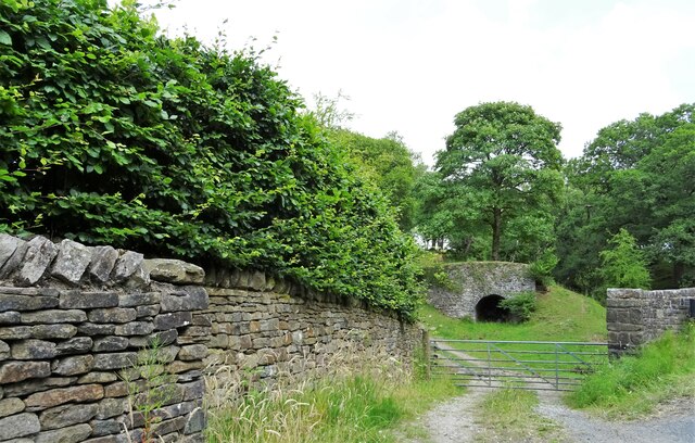
Bowland Forest Low is known for its stunning natural beauty and is a popular destination for outdoor enthusiasts. The area is characterized by rolling hills, dense woodlands, and meandering rivers, providing ample opportunities for walking, hiking, and cycling. The parish is also home to a diverse range of wildlife, including several rare bird species and protected habitats.
The villages within Bowland Forest Low have a rich history, with many buildings dating back to the medieval period. The area was once a thriving center of the textile industry, with mills and weaving cottages scattered throughout the landscape. Today, some of these historic buildings have been converted into charming bed and breakfasts, offering visitors a unique glimpse into the region's past.
In terms of amenities, Bowland Forest Low boasts a number of traditional pubs, cafes, and small shops, providing essential services for both residents and tourists. The parish also has a primary school, ensuring that local children have access to education within their community.
Overall, Bowland Forest Low offers a peaceful and idyllic setting, perfect for those seeking a rural retreat or a taste of traditional English countryside life.
If you have any feedback on the listing, please let us know in the comments section below.
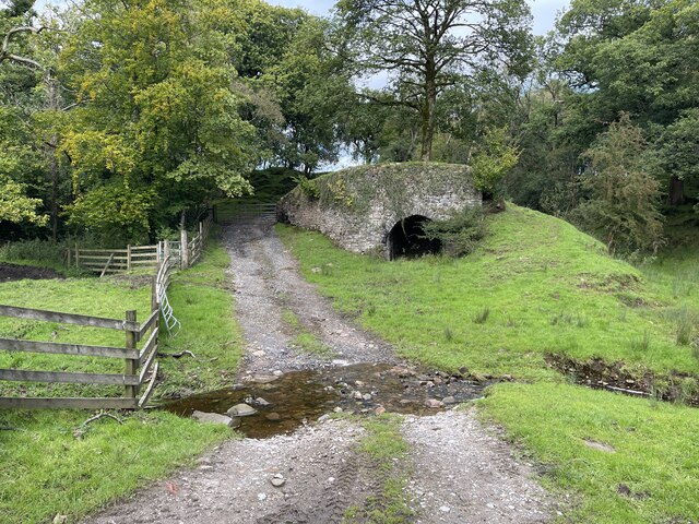
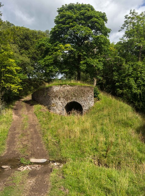
Bowland Forest Low Images
Images are sourced within 2km of 53.909321/-2.499843 or Grid Reference SD6746. Thanks to Geograph Open Source API. All images are credited.


Bowland Forest Low is located at Grid Ref: SD6746 (Lat: 53.909321, Lng: -2.499843)
Division: West Riding
Administrative County: Lancashire
District: Ribble Valley
Police Authority: Lancashire
What 3 Words
///handrail.wiring.fruity. Near Waddington, Lancashire
Nearby Locations
Related Wikis

Bowland Forest Low
Bowland Forest Low is a civil parish in the Ribble Valley district of Lancashire, England, covering some 5,500 acres (22 km2) of the Forest of Bowland...

Cow Ark Farmhouse
Cow Ark Farmhouse is a historic building in the English parish of Bowland Forest Low, Lancashire. It is Grade II listed, built around 1780, and is a sandstone...

Bowland Rural District
Bowland was a rural district in the West Riding of Yorkshire from 1894 to 1974. It was named after the Forest of Bowland, which it included. It was formed...

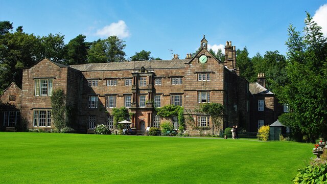
Browsholme Hall
Browsholme Hall is a privately owned Tudor house in the parish of Bowland Forest Low in the borough of Ribble Valley, Lancashire (although historically...
Nearby Amenities
Located within 500m of 53.909321,-2.499843Have you been to Bowland Forest Low?
Leave your review of Bowland Forest Low below (or comments, questions and feedback).