Bowland Forest High
Civil Parish in Yorkshire Ribble Valley
England
Bowland Forest High
Bowland Forest High is a civil parish located in the county of Yorkshire, England. It is situated within the district of Ribble Valley and covers an area of approximately 75 square miles. The parish is named after the Bowland Forest, a vast woodland area that dominates the landscape.
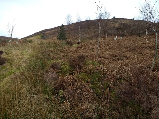
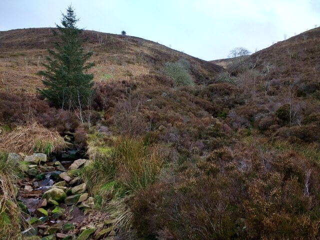
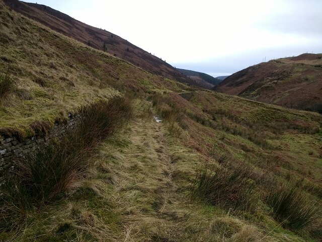
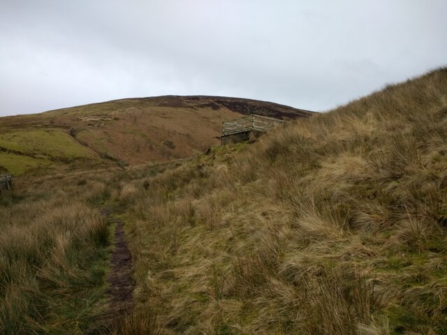
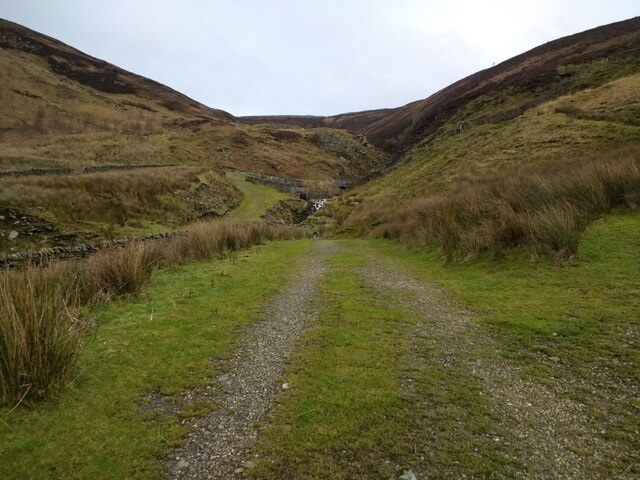
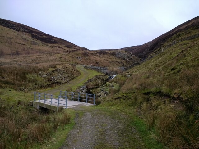
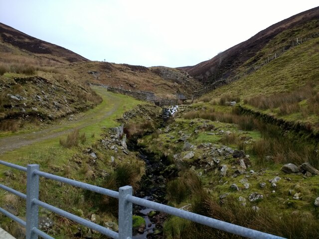
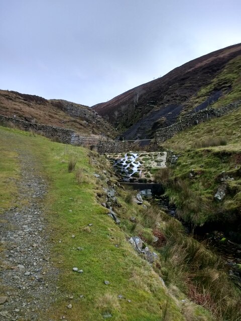
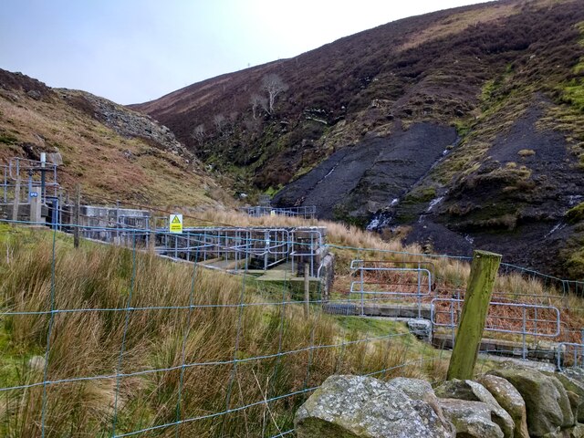
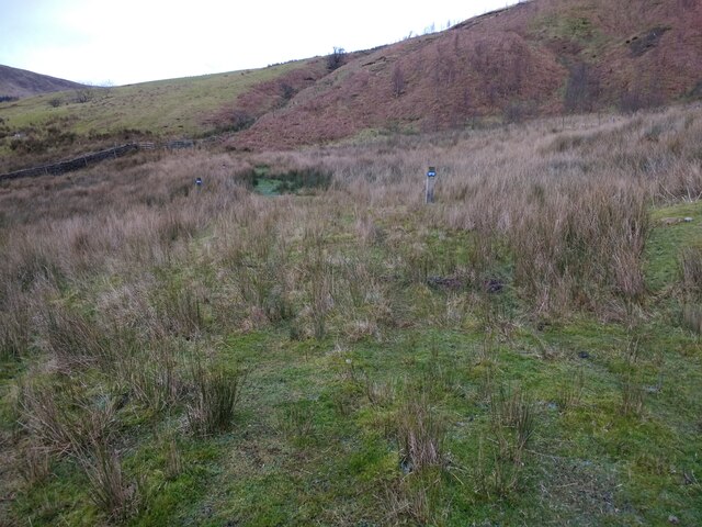
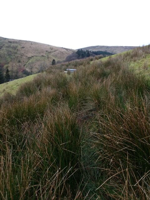
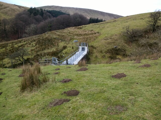
The area is known for its natural beauty and is a popular destination for outdoor enthusiasts and nature lovers. Bowland Forest High is home to diverse wildlife, including rare bird species and an array of flora and fauna. The forest itself is a designated Area of Outstanding Natural Beauty, attracting visitors from far and wide.
The civil parish is comprised of several small villages and hamlets, including Slaidburn, Newton-in-Bowland, and Dunsop Bridge. These charming settlements offer a glimpse into the area's rich history and traditional rural way of life. Many of the buildings in the parish date back centuries, with stunning examples of architecture and heritage.
Bowland Forest High offers a range of recreational activities for residents and visitors alike. The forest provides an excellent setting for hiking, cycling, and horseback riding, with numerous trails and paths to explore. Fishing is also popular, with the River Hodder and River Ribble offering opportunities for anglers.
Overall, Bowland Forest High is a picturesque and tranquil civil parish in Yorkshire, known for its natural beauty, rich history, and outdoor recreational opportunities. It is a place where visitors can escape the hustle and bustle of city life and immerse themselves in the serenity of the countryside.
If you have any feedback on the listing, please let us know in the comments section below.
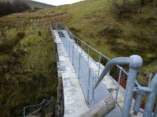
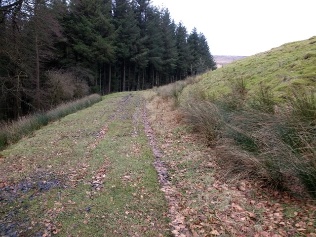
Bowland Forest High Images
Images are sourced within 2km of 53.978004/-2.536146 or Grid Reference SD6453. Thanks to Geograph Open Source API. All images are credited.


Bowland Forest High is located at Grid Ref: SD6453 (Lat: 53.978004, Lng: -2.536146)
Division: West Riding
Administrative County: Lancashire
District: Ribble Valley
Police Authority: Lancashire
What 3 Words
///parsnip.responds.onwards. Near Waddington, Lancashire
Nearby Locations
Related Wikis

Trough of Bowland
The Trough of Bowland is a valley and high pass in the Forest of Bowland Area of Outstanding Natural Beauty, Lancashire, England. The pass, reaching 968...

Grey Stone of Trough
The Grey Stone of Trough is an historic boundary marker in Bowland Forest High, in the Trough of Bowland, Lancashire, England. A Grade II listed structure...

Sykes Smelt Mill
Sykes Smelt Mill was a mediaeval mill located between Sykes and Hareden in Bowland Forest High, Lancashire, England. It stood on the banks of Langden Brook...

Brennand Farm
Brennand Farm is often claimed to be the true centre of Great Britain. This is about seven kilometres north-west of Dunsop Bridge - which has the nearest...
Nearby Amenities
Located within 500m of 53.978004,-2.536146Have you been to Bowland Forest High?
Leave your review of Bowland Forest High below (or comments, questions and feedback).