Bowland-with-Leagram
Civil Parish in Lancashire Ribble Valley
England
Bowland-with-Leagram
Bowland-with-Leagram is a civil parish located in the county of Lancashire, England. It is situated in the Forest of Bowland, an Area of Outstanding Natural Beauty renowned for its stunning landscapes and picturesque villages. The parish covers an area of approximately 18 square kilometers and is home to a small population of around 200 residents.
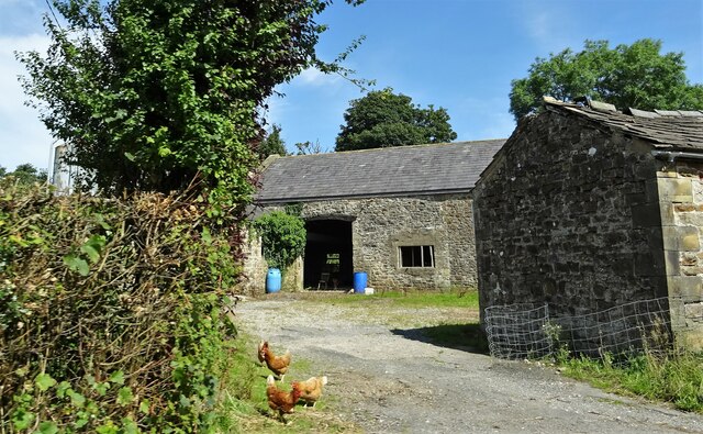
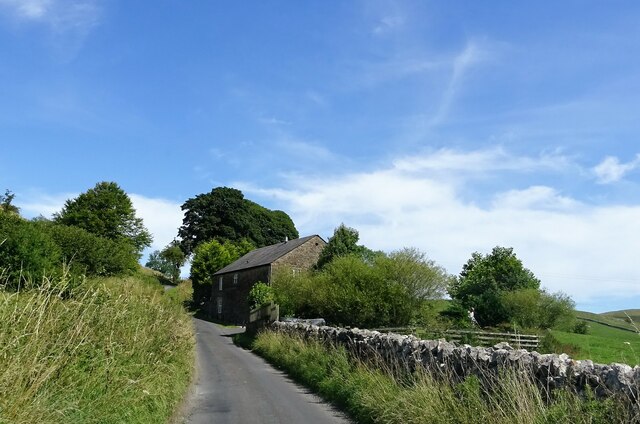
The village of Bowland-with-Leagram is the main settlement within the parish. It is a charming rural village characterized by traditional stone-built houses and a tranquil atmosphere. The village church, St. James' Church, is a notable landmark and dates back to the 16th century. The church's architecture reflects the area's rich history and adds to the village's timeless appeal.
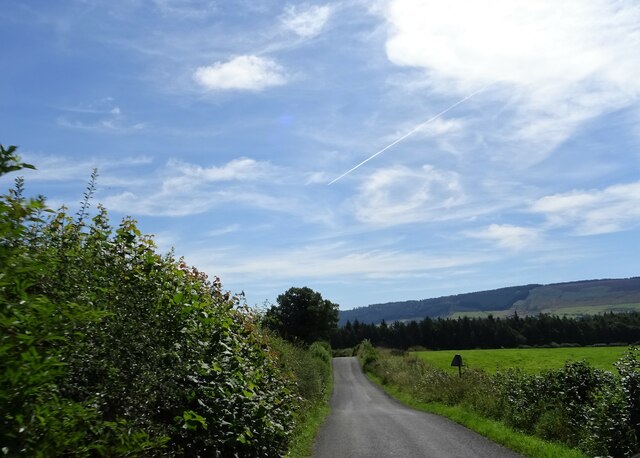
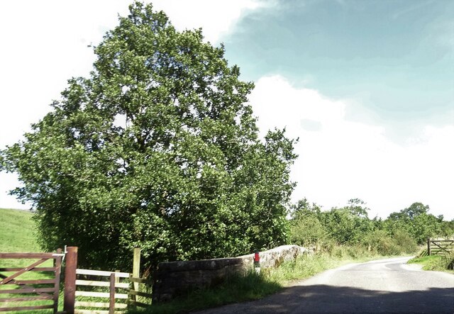
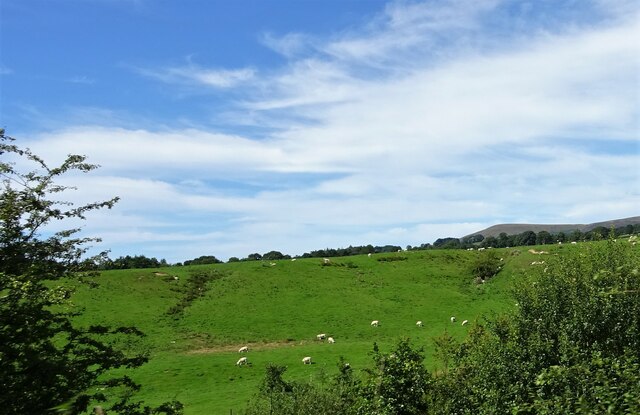
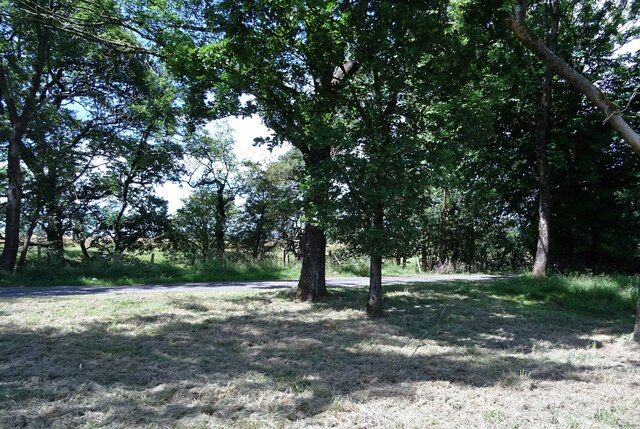
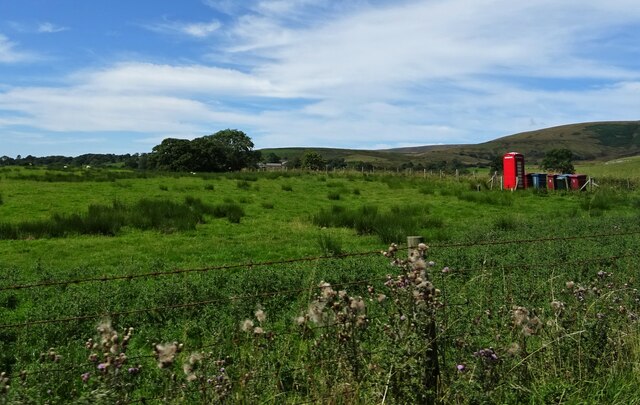
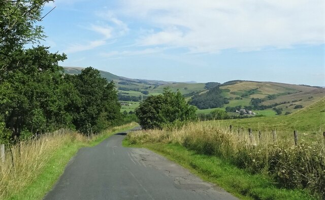
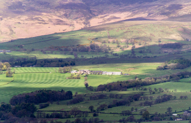
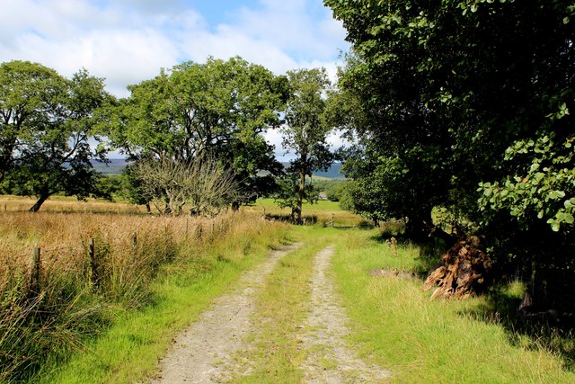
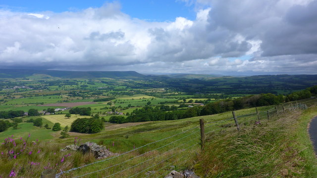
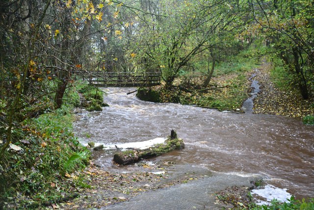
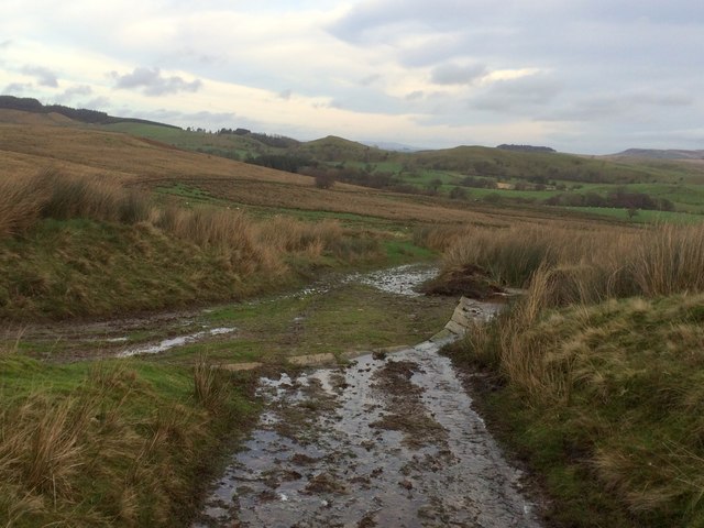
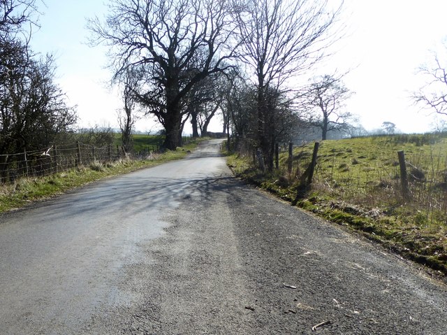
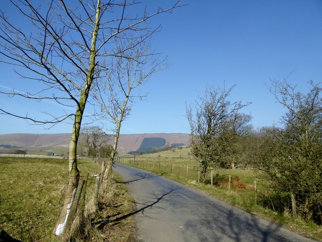
The surrounding countryside of Bowland-with-Leagram offers breathtaking views and is a haven for nature enthusiasts. The area boasts rolling hills, lush green meadows, and dense woodlands, providing ample opportunities for outdoor activities such as hiking, cycling, and birdwatching. The parish is also traversed by several scenic walking trails, including the popular Bowland Trail, which allows visitors to explore the beauty of the Forest of Bowland.
Despite its small size and rural character, Bowland-with-Leagram is well-connected to nearby towns and cities. The market town of Clitheroe is just a short drive away and offers a range of amenities including shops, restaurants, and leisure facilities.
Overall, Bowland-with-Leagram is a peaceful and idyllic civil parish, offering residents and visitors alike a chance to experience the beauty of Lancashire's countryside and immerse themselves in its rich natural and cultural heritage.
If you have any feedback on the listing, please let us know in the comments section below.
Bowland-with-Leagram Images
Images are sourced within 2km of 53.904129/-2.554515 or Grid Reference SD6345. Thanks to Geograph Open Source API. All images are credited.


Bowland-with-Leagram is located at Grid Ref: SD6345 (Lat: 53.904129, Lng: -2.554515)
Administrative County: Lancashire
District: Ribble Valley
Police Authority: Lancashire
What 3 Words
///easily.october.many. Near Longridge, Lancashire
Nearby Locations
Related Wikis

Bowland-with-Leagram
Bowland-with-Leagram is a civil parish in the Ribble Valley district of Lancashire, England, covering part of the Forest of Bowland. According to the census...

Lower Lees Farmhouse
Lower Lees Farmhouse is a historic building in the English parish of Bowland Forest Low, Lancashire. It is Grade II listed, built in 1678, and is a sandstone...

Whitewell
Whitewell is a village within the civil parish of Bowland Forest Low and Ribble Valley borough of Lancashire, England. It is in the Forest of Bowland Area...

Chipping, Lancashire
Chipping is a village and civil parish in the borough of Ribble Valley, Lancashire, England, within the Forest of Bowland Area of Outstanding Natural Beauty...
Have you been to Bowland-with-Leagram?
Leave your review of Bowland-with-Leagram below (or comments, questions and feedback).