Bobbington

Civil Parish in Staffordshire South Staffordshire

England

Bobbington

Highgate Road Junction The view of Camp Hill Road and Highgate Road junction on Highgate Common Country Park.
Highgate Road Junction Credit: Gordon Griffiths

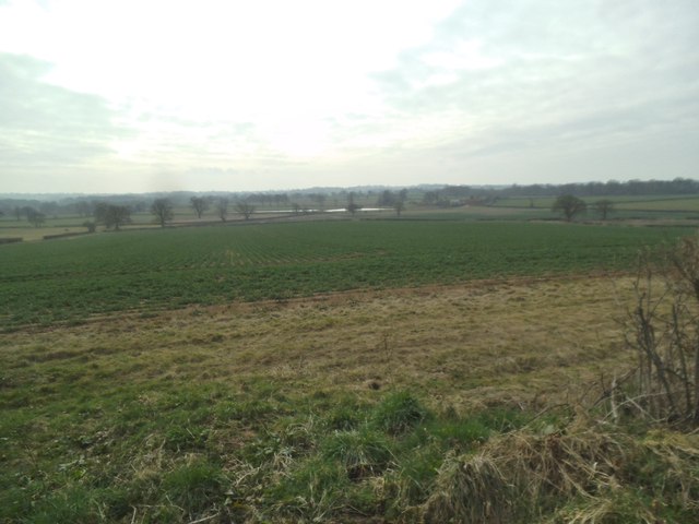
Bobbington is a small civil parish located in the South Staffordshire district of Staffordshire, England. Situated approximately 12 miles south-west of Wolverhampton, this rural village is surrounded by picturesque countryside, offering residents and visitors a peaceful and idyllic setting.

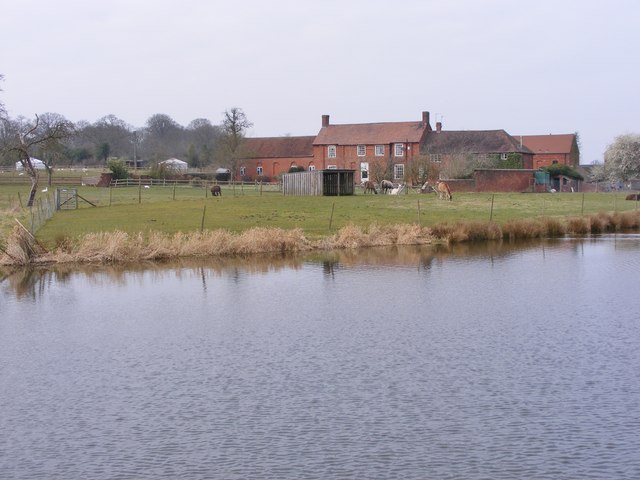
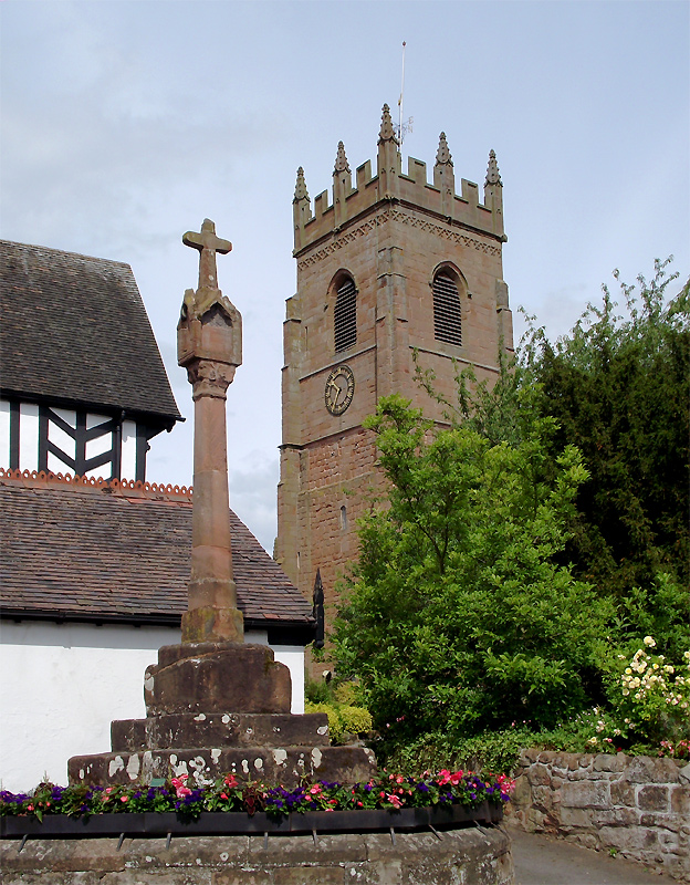
The parish covers an area of about 8 square kilometers and is home to a population of around 600 people. Bobbington boasts a close-knit community and has a rich history dating back to medieval times. The village is known for its charming traditional architecture, with several listed buildings including St. Mary's Church, which dates back to the 12th century.

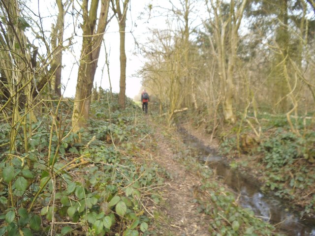
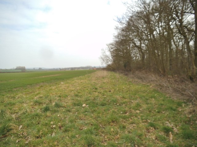
Despite its small size, Bobbington offers a range of amenities and services to its residents. The village has a primary school, a village hall, a post office, and a local pub, which serves as a gathering place for locals. The surrounding countryside provides ample opportunities for outdoor activities such as walking, cycling, and horse riding.

Bobbington is well-connected to the wider region, with good road links to nearby towns and cities. The A449 road runs through the village, providing easy access to Wolverhampton and Stourbridge. The nearest railway station is in Wombourne, approximately 4 miles away, offering regular services to Birmingham and Worcester.

Overall, Bobbington offers a tranquil and community-oriented lifestyle, making it an attractive place to live for those seeking a peaceful rural setting within easy reach of larger urban areas.

If you have any feedback on the listing, please let us know in the comments section below.
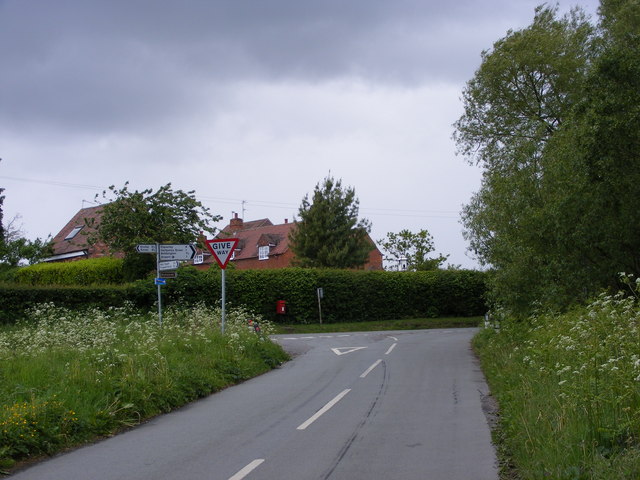
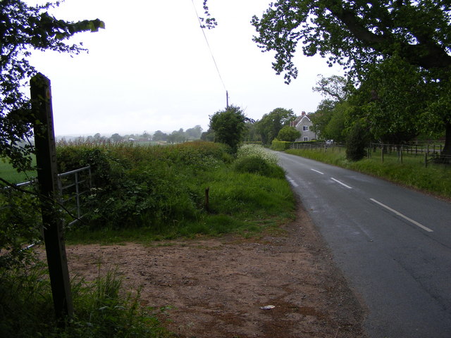
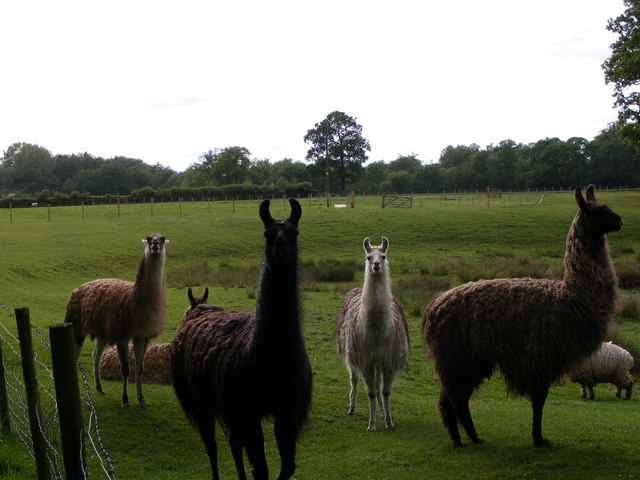
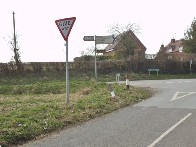
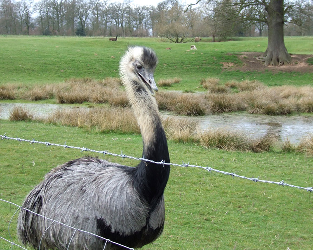
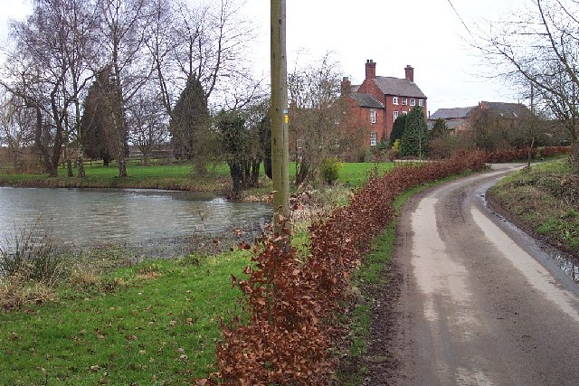
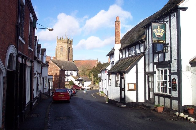
Bobbington Images

Images are sourced within 2km of 52.512723/-2.271584 or Grid Reference SO8190. Thanks to Geograph Open Source API. All images are credited.

Highgate Road Junction The view of Camp Hill Road and Highgate Road junction on Highgate Common Country Park.
Highgate Road Junction
The view of Camp Hill Road and Highgate Road junction on Highgate Common Country Park.
Staffordshire Way View The view of Crab Lane near Highgate Common Country Park.
Staffordshire Way View
The view of Crab Lane near Highgate Common Country Park.
Llama Herd The view by Mere Hall from the Staffordshire Way.
Llama Herd
The view by Mere Hall from the Staffordshire Way.
Alders Farm, Bobbington.
Track through birch wood on Highgate Common, Staffordshire Highgate Common is a Staffordshire Wildlife Trust reserve of about 129 hectares (320 acres) in area and is a Site of Special Scientific Interest.

There are areas of woodland, with silver birch and pedunculate oak as canopy and common bracken as ground cover, as well as coniferous plantation. There are roadside verges, areas of acidic grassland, patches of bare sand and earth, and small areas of wet heath, including two artificial ponds. The varied habitat results in a wide variety of animal life. Highgate Common also contains one of the few lowland heaths in Staffordshire, covered mainly with heather, broom and gorse.(Wikipedia - good article) <span class="nowrap"><a title="http://en.wikipedia.org/wiki/Highgate_Common" rel="nofollow ugc noopener" href="http://en.wikipedia.org/wiki/Highgate_Common">Link</a><img style="margin-left:2px;" alt="External link" title="External link - shift click to open in new window" src="https://s1.geograph.org.uk/img/external.png" width="10" height="10"/></span>
Track through birch wood on Highgate Common, Staffordshire
Highgate Common is a Staffordshire Wildlife Trust reserve of about 129 hectares (320 acres) in area and is a Site of Special Scientific Interest. There are areas of woodland, with silver birch and pedunculate oak as canopy and common bracken as ground cover, as well as coniferous plantation. There are roadside verges, areas of acidic grassland, patches of bare sand and earth, and small areas of wet heath, including two artificial ponds. The varied habitat results in a wide variety of animal life. Highgate Common also contains one of the few lowland heaths in Staffordshire, covered mainly with heather, broom and gorse.(Wikipedia - good article) LinkExternal link
Birch wood on Highgate Common, Staffordshire Highgate Common is a Staffordshire Wildlife Trust reserve containing a mix of heathland and woodland. It is about 129 hectares (320 acres) in area and is a Site of Special Scientific Interest. (Wikipedia)

This is a very popular venue for walkers (including dog-walkers) at any time of the year.

Good article: <span class="nowrap"><a title="http://en.wikipedia.org/wiki/Highgate_Common" rel="nofollow ugc noopener" href="http://en.wikipedia.org/wiki/Highgate_Common">Link</a><img style="margin-left:2px;" alt="External link" title="External link - shift click to open in new window" src="https://s1.geograph.org.uk/img/external.png" width="10" height="10"/></span>
Birch wood on Highgate Common, Staffordshire
Highgate Common is a Staffordshire Wildlife Trust reserve containing a mix of heathland and woodland. It is about 129 hectares (320 acres) in area and is a Site of Special Scientific Interest. (Wikipedia) This is a very popular venue for walkers (including dog-walkers) at any time of the year. Good article: LinkExternal link
Birch woods on Highgate Common, Staffordshire Highgate Common is a Staffordshire Wildlife Trust reserve of about 129 hectares (320 acres) in area and is a Site of Special Scientific Interest. This is a very popular venue for walkers (including dog-walkers) at any time of the year. Several car parks are provided, as are picnic areas and benches, so contemplative visitors can admire the view.

There are areas of woodland, with silver birch and pedunculate oak as canopy and common bracken as ground cover, as well as coniferous plantation. There are roadside verges, areas of acidic grassland, patches of bare sand and earth, and small areas of wet heath, including two artificial ponds. The varied habitat results in a wide variety of animal life. Highgate Common also contains one of the few lowland heaths in Staffordshire, covered mainly with heather, broom and gorse.(Wikipedia - good article) <span class="nowrap"><a title="http://en.wikipedia.org/wiki/Highgate_Common" rel="nofollow ugc noopener" href="http://en.wikipedia.org/wiki/Highgate_Common">Link</a><img style="margin-left:2px;" alt="External link" title="External link - shift click to open in new window" src="https://s1.geograph.org.uk/img/external.png" width="10" height="10"/></span>
Birch woods on Highgate Common, Staffordshire
Highgate Common is a Staffordshire Wildlife Trust reserve of about 129 hectares (320 acres) in area and is a Site of Special Scientific Interest. This is a very popular venue for walkers (including dog-walkers) at any time of the year. Several car parks are provided, as are picnic areas and benches, so contemplative visitors can admire the view. There are areas of woodland, with silver birch and pedunculate oak as canopy and common bracken as ground cover, as well as coniferous plantation. There are roadside verges, areas of acidic grassland, patches of bare sand and earth, and small areas of wet heath, including two artificial ponds. The varied habitat results in a wide variety of animal life. Highgate Common also contains one of the few lowland heaths in Staffordshire, covered mainly with heather, broom and gorse.(Wikipedia - good article) LinkExternal link
Birch and oak on Highgate Common, Staffordshire Highgate Common is a Staffordshire Wildlife Trust reserve of about 129 hectares (320 acres) in area and is a Site of Special Scientific Interest.

There are areas of woodland, with silver birch and pedunculate oak as canopy and common bracken as ground cover, as well as coniferous plantation. There are roadside verges, areas of acidic grassland, patches of bare sand and earth, and small areas of wet heath, including two artificial ponds. The varied habitat results in a wide variety of animal life. Highgate Common also contains one of the few lowland heaths in Staffordshire, covered mainly with heather, broom and gorse.(Wikipedia - good article) <span class="nowrap"><a title="http://en.wikipedia.org/wiki/Highgate_Common" rel="nofollow ugc noopener" href="http://en.wikipedia.org/wiki/Highgate_Common">Link</a><img style="margin-left:2px;" alt="External link" title="External link - shift click to open in new window" src="https://s1.geograph.org.uk/img/external.png" width="10" height="10"/></span>
Birch and oak on Highgate Common, Staffordshire
Highgate Common is a Staffordshire Wildlife Trust reserve of about 129 hectares (320 acres) in area and is a Site of Special Scientific Interest. There are areas of woodland, with silver birch and pedunculate oak as canopy and common bracken as ground cover, as well as coniferous plantation. There are roadside verges, areas of acidic grassland, patches of bare sand and earth, and small areas of wet heath, including two artificial ponds. The varied habitat results in a wide variety of animal life. Highgate Common also contains one of the few lowland heaths in Staffordshire, covered mainly with heather, broom and gorse.(Wikipedia - good article) LinkExternal link
Highgate Junction The view towards Highgate Road by Highgate Common in Staffordshire.
Highgate Junction
The view towards Highgate Road by Highgate Common in Staffordshire.
Highgate View The view on the Staffordshire Way path near Highgate Common in Staffordshire.
Highgate View
The view on the Staffordshire Way path near Highgate Common in Staffordshire.
Stream Path The view of the path alongside Mere Copse in Staffordshire.
Stream Path
The view of the path alongside Mere Copse in Staffordshire.
Woodland Edge The view of Mere Copse in Staffordshire.
Woodland Edge
The view of Mere Copse in Staffordshire.
Mere Hall The view across the lake to the Hall near Bobbington.
Mere Hall
The view across the lake to the Hall near Bobbington.
Rhea Grazing, Mere Hall, Staffordshire Most of the area is used for grazing or crop growing. Today, in this field, there was a family of four rheas; this male (?) was not too keen on me. Also grazing were several llamas.
Rhea Grazing, Mere Hall, Staffordshire
Most of the area is used for grazing or crop growing. Today, in this field, there was a family of four rheas; this male (?) was not too keen on me. Also grazing were several llamas.
Cattle at Salters Park Farm, near Bobbington, Staffordshire Photograph taken from the public footpath which runs north-east flanking the farm.
Cattle at Salters Park Farm, near Bobbington, Staffordshire
Photograph taken from the public footpath which runs north-east flanking the farm.
Meadows/Grazing Land, Lutley, Staffordshire Way On the Staffordshire Way (goes to the left of the bushes). A well is marked about 200m back at Lutley Cottage, but this little stream seems to appear as a spring about 100m back from the camera position. It dribbles into a small pool (just visible), then back underground.
Meadows/Grazing Land, Lutley, Staffordshire Way
On the Staffordshire Way (goes to the left of the bushes). A well is marked about 200m back at Lutley Cottage, but this little stream seems to appear as a spring about 100m back from the camera position. It dribbles into a small pool (just visible), then back underground.
Show me another place!

Bobbington is located at Grid Ref: SO8190 (Lat: 52.512723, Lng: -2.271584)

Administrative County: Staffordshire

District: South Staffordshire

Police Authority: Staffordshire

What 3 Words

///wedge.glow.taskbar. Near Wombourn, Staffordshire

Related Wikis

Bobbington

Bobbington is a village and civil parish in the South Staffordshire district of Staffordshire, England, about 5 miles (8.0 km) west of Wombourne. According...

Wolverhampton Airport

Wolverhampton Halfpenny Green Airport (ICAO: EGBO), formerly Halfpenny Green Airport and Wolverhampton Business Airport, locally Bobbington Airport, is...

Mid Severn Sandstone Plateau

The Mid Severn Sandstone Plateau is a rural landscape and one of the natural regions of central England, straddling the border between the counties of...

Highgate Common

Highgate Common is a Staffordshire Wildlife Trust reserve containing a mix of heathland and woodland. It is about 129 hectares or 320 acres in size. The...

Beobridge

Beobridge is a small, scattered hamlet in Shropshire, England. It is in the civil parish of Claverley. Its name probably comes from Old English beo, "bee...

Claverley

Claverley is a village and civil parish in east Shropshire, England. The parish also includes the hamlets of Beobridge, Hopstone, Upper Aston, Ludstone...

Six Ashes

Six Ashes is a small village in Shropshire, England, on the Shropshire side of the border with Staffordshire. == See also == Tripartite Indenture ��2...

All Saints Church, Claverley

All Saints Church is in the village of Claverley, Shropshire, England. It is an active Anglican parish church in the deanery of Bridgnorth, the archdeaconry...

Nearby Amenities

Located within 500m of 52.512723,-2.271584
The data included in this document is from www.openstreetmap.org. The data is made available under ODbL.

Have you been to Bobbington?

Leave your review of Bobbington below (or comments, questions and feedback).