Dogkennel Covert

Wood, Forest in Staffordshire South Staffordshire

England

Dogkennel Covert

Access road to Rickthorn Farm
Access road to Rickthorn Farm Credit: Row17

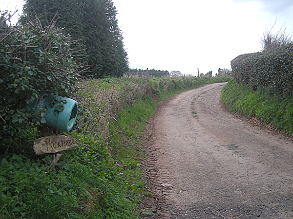
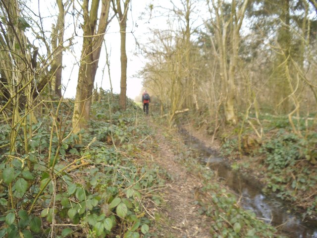
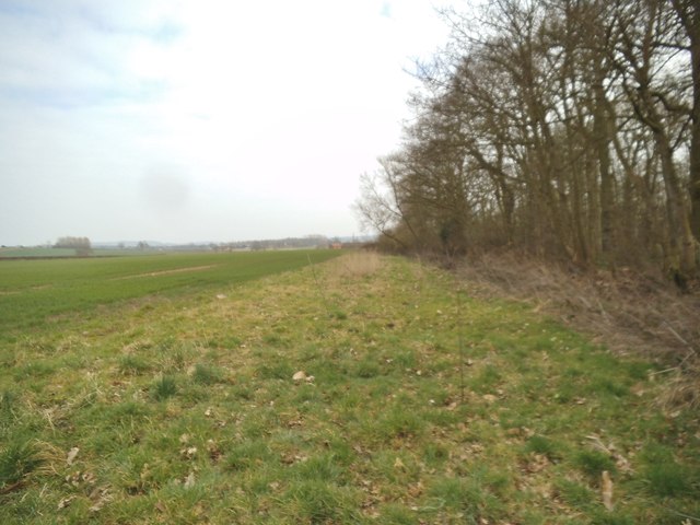
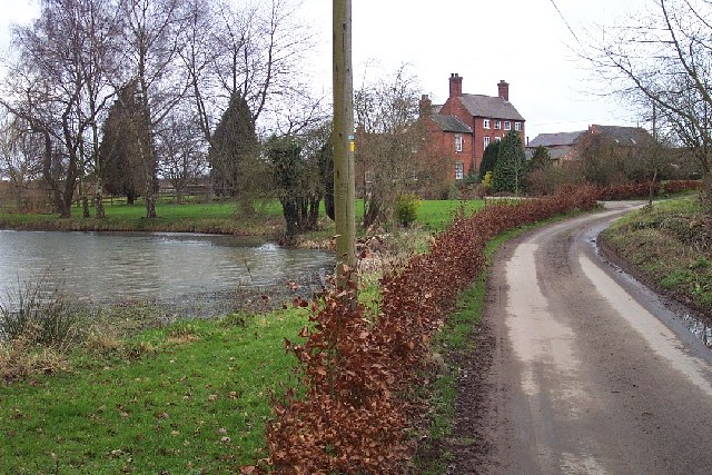
Dogkennel Covert is a dense woodland located in Staffordshire, England. It covers a total area of approximately 200 acres and is known for its natural beauty and diverse wildlife. The woodland is primarily made up of mature oak, beech, and birch trees, creating a picturesque landscape that is popular among nature enthusiasts and dog walkers.

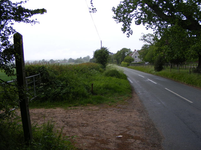
The woodland is well-preserved and managed by the local forestry commission, ensuring that it remains a peaceful and tranquil environment for visitors to enjoy. There are several well-maintained trails and footpaths that wind through the woodland, allowing visitors to explore its beauty at their own pace. These paths are suitable for both novice and experienced hikers, making it an ideal location for families and individuals alike.

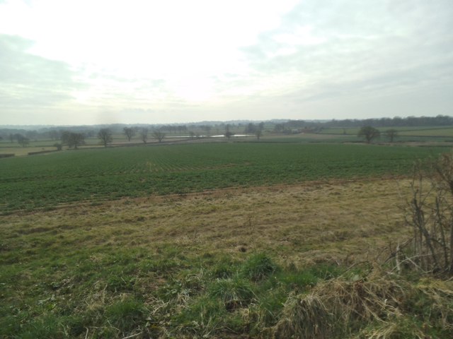
Dogkennel Covert is also home to a wide range of wildlife, including various bird species, deer, squirrels, and rabbits. Nature lovers often flock to the area to catch a glimpse of these animals in their natural habitat. Additionally, the woodland is known for its vibrant wildflower displays during the spring and summer months, adding an extra touch of color and beauty to the already stunning landscape.

Facilities within Dogkennel Covert are limited, with no visitor center or amenities available on-site. However, there are nearby parking options and picnic areas where visitors can enjoy a packed lunch amidst the tranquil surroundings. It is advisable to bring appropriate footwear and be mindful of the terrain, especially during wet weather conditions, as some areas may become muddy or slippery.

If you have any feedback on the listing, please let us know in the comments section below.

Dogkennel Covert Images

Images are sourced within 2km of 52.509882/-2.2757787 or Grid Reference SO8190. Thanks to Geograph Open Source API. All images are credited.

Access road to Rickthorn Farm
Staffordshire Way View The view of Crab Lane near Highgate Common Country Park.
Staffordshire Way View
The view of Crab Lane near Highgate Common Country Park.
Llama Herd The view by Mere Hall from the Staffordshire Way.
Llama Herd
The view by Mere Hall from the Staffordshire Way.
Alders Farm, Bobbington.
Highgate View The view on the Staffordshire Way path near Highgate Common in Staffordshire.
Highgate View
The view on the Staffordshire Way path near Highgate Common in Staffordshire.
Stream Path The view of the path alongside Mere Copse in Staffordshire.
Stream Path
The view of the path alongside Mere Copse in Staffordshire.
Woodland Edge The view of Mere Copse in Staffordshire.
Woodland Edge
The view of Mere Copse in Staffordshire.
Mere Hall The view across the lake to the Hall near Bobbington.
Mere Hall
The view across the lake to the Hall near Bobbington.
Rhea Grazing, Mere Hall, Staffordshire Most of the area is used for grazing or crop growing. Today, in this field, there was a family of four rheas; this male (?) was not too keen on me. Also grazing were several llamas.
Rhea Grazing, Mere Hall, Staffordshire
Most of the area is used for grazing or crop growing. Today, in this field, there was a family of four rheas; this male (?) was not too keen on me. Also grazing were several llamas.
Cattle at Salters Park Farm, near Bobbington, Staffordshire Photograph taken from the public footpath which runs north-east flanking the farm.
Cattle at Salters Park Farm, near Bobbington, Staffordshire
Photograph taken from the public footpath which runs north-east flanking the farm.
Meadows/Grazing Land, Lutley, Staffordshire Way On the Staffordshire Way (goes to the left of the bushes). A well is marked about 200m back at Lutley Cottage, but this little stream seems to appear as a spring about 100m back from the camera position. It dribbles into a small pool (just visible), then back underground.
Meadows/Grazing Land, Lutley, Staffordshire Way
On the Staffordshire Way (goes to the left of the bushes). A well is marked about 200m back at Lutley Cottage, but this little stream seems to appear as a spring about 100m back from the camera position. It dribbles into a small pool (just visible), then back underground.
Mere Farm, Lutley, Staffordshire This imposing red-brick farmhouse in the middle of nowhere appears much older (16th century?) than the nearby Mere Hall. Could it have been the manor when first built? The rear of the house looks even older behind the second gable from the left.
Mere Farm, Lutley, Staffordshire
This imposing red-brick farmhouse in the middle of nowhere appears much older (16th century?) than the nearby Mere Hall. Could it have been the manor when first built? The rear of the house looks even older behind the second gable from the left.
Start of Footpath, Salter's Park Farm, Staffordshire The footpath flanks the farm (high fence in dilapidated condition) as it passes through Mere Copse towards open fields.
Start of Footpath, Salter's Park Farm, Staffordshire
The footpath flanks the farm (high fence in dilapidated condition) as it passes through Mere Copse towards open fields.
Public Footpath - Grazing Land - Salter's Park Farm The footpath, which appears to be only occasionally walked, leads across the field flanking the copse on the right. Flat grazing land is widespread in the area.
Public Footpath - Grazing Land - Salter's Park Farm
The footpath, which appears to be only occasionally walked, leads across the field flanking the copse on the right. Flat grazing land is widespread in the area.
Mere Hall, near Bobbington, Staffordshire Although this is called Mere Hall, it appears to be less ancient than the neighbouring Mere Farm. Grazing land attached to it feeds llamas and rheas, among other exotic creatures. I was able to buy my supply of quince jelly, hedgerow jelly, and various "real" mustards from a hutch by the (Staffordshire Way) footpath here.
Mere Hall, near Bobbington, Staffordshire
Although this is called Mere Hall, it appears to be less ancient than the neighbouring Mere Farm. Grazing land attached to it feeds llamas and rheas, among other exotic creatures. I was able to buy my supply of quince jelly, hedgerow jelly, and various "real" mustards from a hutch by the (Staffordshire Way) footpath here.
The Staffordshire Way bisects the Pools at Mere Hall Most of the square is flat, damp meadow land (hence the word "Mere" in so many local place names), but these two pools, between which the Staffordshire Way National Trail runs, are man made, so do not appear on old maps. Considering what grazes in the fields... I wonder what swims in these pools!!
The Staffordshire Way bisects the Pools at Mere Hall
Most of the square is flat, damp meadow land (hence the word "Mere" in so many local place names), but these two pools, between which the Staffordshire Way National Trail runs, are man made, so do not appear on old maps. Considering what grazes in the fields... I wonder what swims in these pools!!
Pond, Meadow, Oak Tree and Rhea!! Mere Hall, Staffordshire Most of the land in the square is flattish grazing land, and liable to become waterlogged, reflected in the frequency of the word "mere" in local place names. (The woodland on the skyline is Mere Copse). In this field today I counted four rheas and about six llamas.
Pond, Meadow, Oak Tree and Rhea!! Mere Hall, Staffordshire
Most of the land in the square is flattish grazing land, and liable to become waterlogged, reflected in the frequency of the word "mere" in local place names. (The woodland on the skyline is Mere Copse). In this field today I counted four rheas and about six llamas.
Bridleway Signpost - Staffordshire Way, near Mere Hall The Staffordshire Way (and Bridleway) passes through the gate, and has just come from between the two small lakes near Mere Hall.
Bridleway Signpost - Staffordshire Way, near Mere Hall
The Staffordshire Way (and Bridleway) passes through the gate, and has just come from between the two small lakes near Mere Hall.
Show me another place!

Dogkennel Covert is located at Grid Ref: SO8190 (Lat: 52.509882, Lng: -2.2757787)

Administrative County: Staffordshire

District: South Staffordshire

Police Authority: Staffordshire

What 3 Words

///nooks.collect.handover. Near Wombourn, Staffordshire

Related Wikis

Bobbington

Bobbington is a village and civil parish in the South Staffordshire district of Staffordshire, England, about 5 miles (8.0 km) west of Wombourne. According...

Wolverhampton Airport

Wolverhampton Halfpenny Green Airport (ICAO: EGBO), formerly Halfpenny Green Airport and Wolverhampton Business Airport, locally Bobbington Airport, is...

Mid Severn Sandstone Plateau

The Mid Severn Sandstone Plateau is a rural landscape and one of the natural regions of central England, straddling the border between the counties of...

Highgate Common

Highgate Common is a Staffordshire Wildlife Trust reserve containing a mix of heathland and woodland. It is about 129 hectares or 320 acres in size. The...

Beobridge

Beobridge is a small, scattered hamlet in Shropshire, England. It is in the civil parish of Claverley. Its name probably comes from Old English beo, "bee...

Six Ashes

Six Ashes is a small village in Shropshire, England, on the Shropshire side of the border with Staffordshire. == See also == Tripartite Indenture ��2...

West Midlands (region)

The West Midlands is one of nine official regions of England at the first level of International Territorial Level for statistical purposes. It covers...

Enville, Staffordshire

Enville is a village and civil parish in rural Staffordshire, England, on the A458 road between Stourbridge and Bridgnorth. Enville is in the South Staffordshire...

Nearby Amenities

Located within 500m of 52.509882,-2.2757787
Power: pole
Source: bing
Lat/Long: 52.5054926/-2.2744435
Power: pole
Source: bing
Lat/Long: 52.5056172/-2.2758266
Power: pole
Source: bing
Lat/Long: 52.5057342/-2.2770828
Turning Loop
Lat/Long: 52.5080793/-2.272991
The data included in this document is from www.openstreetmap.org. The data is made available under ODbL.

Have you been to Dogkennel Covert?

Leave your review of Dogkennel Covert below (or comments, questions and feedback).