Brick Field Plantation

Wood, Forest in Lancashire Rossendale

England

Brick Field Plantation

Descending off Cribden Moor Heading west off the moor, offering splendid views into the bargain
Descending off Cribden Moor Credit: Chris Heaton

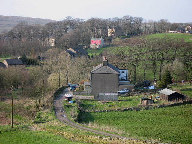
Brick Field Plantation is a picturesque woodland located in Lancashire, England. Spanning over a vast area, this plantation is known for its dense and diverse collection of trees, making it an ideal destination for nature enthusiasts and outdoor enthusiasts alike.

The forest is primarily composed of deciduous trees, including oak, beech, and birch, which blanket the landscape in vibrant shades of green during the spring and summer months. These trees provide a habitat for a wide range of wildlife, including various bird species, squirrels, and deer, making it a popular spot for birdwatchers and animal lovers.

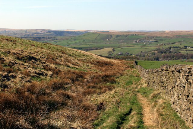
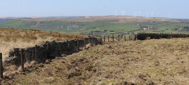
The woodland offers a network of well-maintained walking trails that wind through the plantation, allowing visitors to explore its natural beauty at their own pace. These trails provide stunning views of the surrounding countryside, with glimpses of rolling hills and meandering rivers.

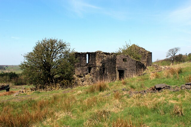
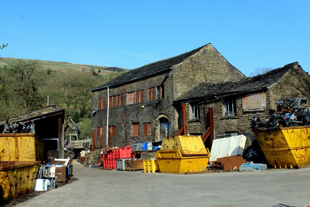
Brick Field Plantation also boasts a rich history, with remnants of an old brickworks still visible within the forest. These ruins serve as a reminder of the area's industrial past and add an element of intrigue to the woodland.

Visitors to Brick Field Plantation can enjoy a tranquil and peaceful environment, away from the hustle and bustle of city life. The plantation offers an escape to nature, where visitors can immerse themselves in the beauty of Lancashire's woodlands and experience the serenity that comes with being surrounded by trees and wildlife.

If you have any feedback on the listing, please let us know in the comments section below.

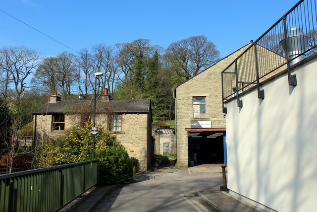
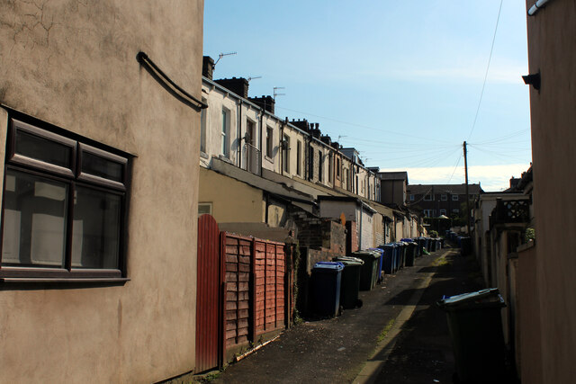
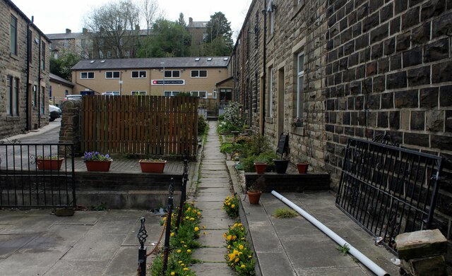
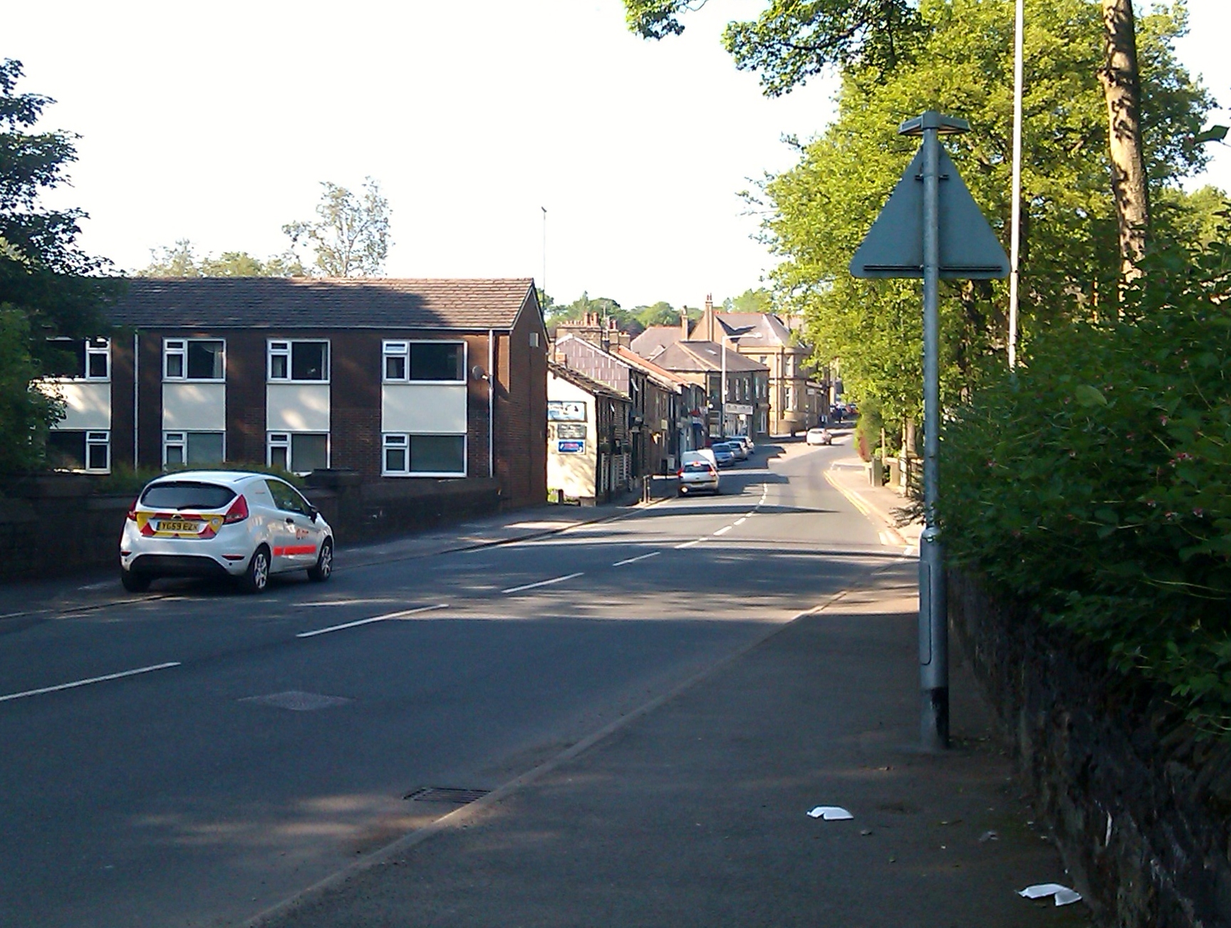
Brick Field Plantation Images

Images are sourced within 2km of 53.72171/-2.2836362 or Grid Reference SD8125. Thanks to Geograph Open Source API. All images are credited.

Descending off Cribden Moor Heading west off the moor, offering splendid views into the bargain
Descending off Cribden Moor
Heading west off the moor, offering splendid views into the bargain
On Cribden Moor
On Cribden Moor
Ruins of Under Brow Abandoned farm now fallen into ruin on Cribden Side
Ruins of Under Brow
Abandoned farm now fallen into ruin on Cribden Side
Scrap Merchants in Rawtenstall J.S. Leach and Sons, Metal Recyclers located on Burnley Road in Rawtenstall
Scrap Merchants in Rawtenstall
J.S. Leach and Sons, Metal Recyclers located on Burnley Road in Rawtenstall
Cul de Sac off Burnley Road, Rawtenstall
Burnley Road heading North out of Rawtenstall The A682 road heading for Burnley
Burnley Road heading North out of Rawtenstall
The A682 road heading for Burnley
Back Alley between Woodcroft Street and Thorn Street Back Alley leading of the A682, Burnley Road
Back Alley between Woodcroft Street and Thorn Street
Back Alley leading of the A682, Burnley Road
Burnley Road The A682 heading north towards Burnley from Rawtenstall
Burnley Road
The A682 heading north towards Burnley from Rawtenstall
Short Clough Lane Private lane serving Short Clough Farm and Sunnyside Bungalow
Short Clough Lane
Private lane serving Short Clough Farm and Sunnyside Bungalow
St. John the Evangelist Church, Crawshawbooth The building is in a right old state, now showing signs of long term neglect and abandonment.
Grade II Listed, it's condition has been noted in the at Risk Register as Very Bad.
St. John the Evangelist Church, Crawshawbooth
The building is in a right old state, now showing signs of long term neglect and abandonment. Grade II Listed, it's condition has been noted in the at Risk Register as Very Bad.
The Chapel on Lord Street, Crawshawbooth Former Sunnyside Primitive Methodist Church dating back from 1877 - now a private dwelling
The Chapel on Lord Street, Crawshawbooth
Former Sunnyside Primitive Methodist Church dating back from 1877 - now a private dwelling
Access Lane for Sunny Bank Farm Narrow lane leading up to the pet cemetery by Sunny Bank Farm
Access Lane for Sunny Bank Farm
Narrow lane leading up to the pet cemetery by Sunny Bank Farm
View towards Love Clough and Goodshaw Panorama over the upper Limy Water valley.
View towards Love Clough and Goodshaw
Panorama over the upper Limy Water valley.
Footpath leading to Lower Fairbanks Farm The footpath from Sunny Bank Farm follows the stone wall, faithfully - although there is no evidence of existence on the ground.
Footpath leading to Lower Fairbanks Farm
The footpath from Sunny Bank Farm follows the stone wall, faithfully - although there is no evidence of existence on the ground.
Lower Fairbanks Farm Six public footpaths converge on this single farm, although signage was at a premium - left to guesswork and map reading skills to select an exit.
Lower Fairbanks Farm
Six public footpaths converge on this single farm, although signage was at a premium - left to guesswork and map reading skills to select an exit.
Livestock Enclosures above Lower Fairbanks Farm
Ash Grove, Rawtenstall Cul de Sac off Burnley Road in Rawtenstall
Ash Grove, Rawtenstall
Cul de Sac off Burnley Road in Rawtenstall
Ivy Grove, Rawtenstall
Show me another place!

Brick Field Plantation is located at Grid Ref: SD8125 (Lat: 53.72171, Lng: -2.2836362)

Administrative County: Lancashire

District: Rossendale

Police Authority: Lancashire

What 3 Words

///agrees.bitter.chop. Near Rawtenstall, Lancashire

Related Wikis

Crawshawbooth

Crawshawbooth is a small village located on the edge of the Pennines in England, just north of the market town of Rawtenstall, Lancashire, and south of...

St John the Evangelist's Church, Crawshawbooth

St John the Evangelist's Church is in the village of Crawshawbooth, near Rawtenstall, Lancashire, England. It is a redundant Anglican parish church formerly...

Goodshaw

Goodshaw is a hamlet situated on the edge of the Pennine hills in England, located just north of the market town of Rawtenstall in Lancashire. To the south...

St Paul's Church, Constable Lee

St Paul's Church is in Burnley Road, Constable Lee, Rawtenstall, Lancashire, England. It is an active Anglican parish church in the deanery of Rossendale...

Nearby Amenities

Located within 500m of 53.72171,-2.2836362
Created By: YahooApplet 1.0
Lat/Long: 53.7217105/-2.2892452
Created By: YahooApplet 1.0
Lat/Long: 53.7211899/-2.2896529
Created By: YahooApplet 1.0
Lat/Long: 53.720828/-2.2898031
Created By: YahooApplet 1.0
Lat/Long: 53.7202313/-2.289846
Noexit: yes
Lat/Long: 53.724664/-2.2873377
Crossing
Crossing: uncontrolled
Kerb: lowered
Tactile Paving: yes
Lat/Long: 53.7239416/-2.2873061
Waterway: weir
Lat/Long: 53.7220715/-2.2870427
Bus Stop
Hollin Way
Naptan AtcoCode: 250011376
Naptan NaptanCode: lanagdgm
Public Transport: platform
Lat/Long: 53.7197424/-2.2897281
Bus Stop
Crawshaw Hall
Naptan AtcoCode: 2500IMG2891
Naptan NaptanCode: langjdwd
Public Transport: platform
Lat/Long: 53.7212459/-2.2897086
Bus Stop
Black Dog
Public Transport: platform
Lat/Long: 53.7236915/-2.2874623
Bus Stop
Black Dog
Public Transport: platform
Lat/Long: 53.7238946/-2.287479
Bus Stop
Adelaide Street
Naptan AtcoCode: 2500IMG2889
Naptan NaptanCode: langjdtw
Public Transport: platform
Lat/Long: 53.72519/-2.2864088
Bus Stop
Adelaide Street
Naptan AtcoCode: 2500IMG2528
Naptan NaptanCode: langdgwt
Public Transport: platform
Lat/Long: 53.7252916/-2.2861621
2b-Art
Addr City: Rossendale
Addr Housename: Britannia Mill
Addr Housenumber: Unit 1A
Addr Postcode: BB4 8AX
Addr Street: Barley Holme Road
Craft: handicraft
Operator: Tina Foran & Philip Pearson
Website: https://2b-art.weebly.com
Lat/Long: 53.7250559/-2.2874951
Access: customers
Entrance: main
Wheelchair: yes
Lat/Long: 53.7250016/-2.2874415
Noexit: yes
Lat/Long: 53.7214101/-2.2886889
Noexit: yes
Lat/Long: 53.7215355/-2.2885942
The data included in this document is from www.openstreetmap.org. The data is made available under ODbL.

Have you been to Brick Field Plantation?

Leave your review of Brick Field Plantation below (or comments, questions and feedback).