Bullfield Plantation
Wood, Forest in Lancashire Rossendale
England
Bullfield Plantation
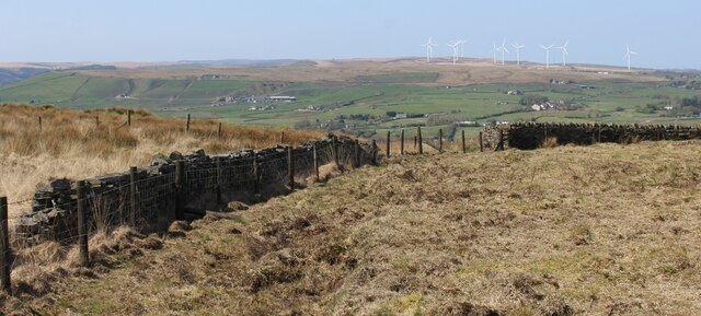
Bullfield Plantation is a picturesque woodland located in the county of Lancashire, England. Covering an area of approximately 100 acres, this enchanting forest is situated in the heart of the Lancashire countryside, near the town of Wood. The plantation is characterized by its dense collection of trees, consisting mainly of oak, beech, and birch, which create a stunning and diverse landscape.
The woodland is a haven for nature enthusiasts and offers a tranquil retreat away from the hustle and bustle of urban life. Walking through the plantation, visitors can immerse themselves in the sights and sounds of nature, with an array of flora and fauna to be discovered. Bluebells carpet the forest floor in the spring, creating a breathtaking display of color, while the melodious songs of songbirds fill the air.
Bullfield Plantation also boasts a variety of wildlife, providing a habitat for numerous species. Visitors may catch a glimpse of deer grazing amongst the trees, or spot squirrels darting through the branches. The woodland is also home to a diverse range of bird species, including woodpeckers, owls, and various songbirds.
Aside from its natural beauty, Bullfield Plantation offers recreational activities such as hiking and birdwatching. There are several well-maintained trails that wind through the woodland, allowing visitors to explore its hidden treasures. The plantation also has designated picnic areas, providing a perfect spot to relax and enjoy the peaceful surroundings.
Overall, Bullfield Plantation in Lancashire is a captivating woodland that offers a welcome escape into nature. Its stunning scenery, diverse wildlife, and recreational opportunities make it a must-visit destination for nature lovers and outdoor enthusiasts alike.
If you have any feedback on the listing, please let us know in the comments section below.
Bullfield Plantation Images
Images are sourced within 2km of 53.722636/-2.2797325 or Grid Reference SD8125. Thanks to Geograph Open Source API. All images are credited.


Bullfield Plantation is located at Grid Ref: SD8125 (Lat: 53.722636, Lng: -2.2797325)
Administrative County: Lancashire
District: Rossendale
Police Authority: Lancashire
What 3 Words
///parading.worm.scarred. Near Rawtenstall, Lancashire
Related Wikis
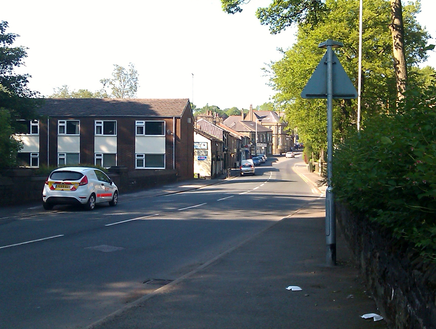
Crawshawbooth
Crawshawbooth is a small village located on the edge of the Pennines in England, just north of the market town of Rawtenstall, Lancashire, and south of...

St John the Evangelist's Church, Crawshawbooth
St John the Evangelist's Church is in the village of Crawshawbooth, near Rawtenstall, Lancashire, England. It is a redundant Anglican parish church formerly...
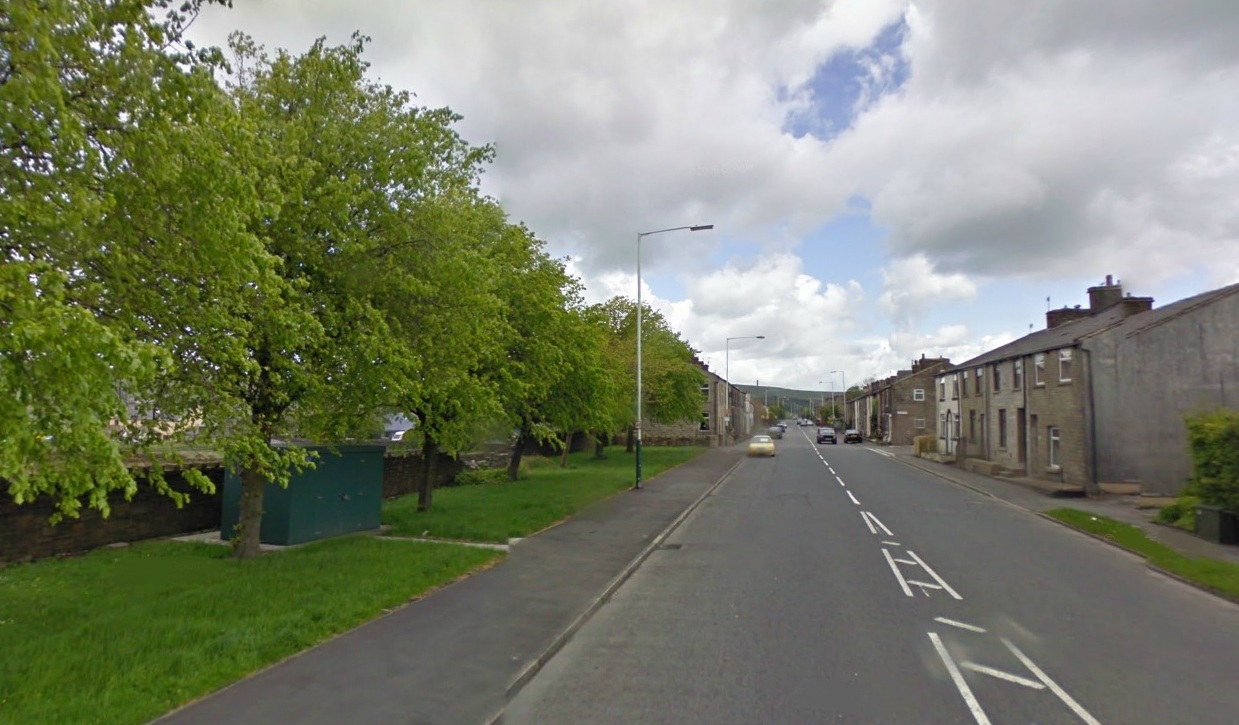
Goodshaw
Goodshaw is a hamlet situated on the edge of the Pennine hills in England, located just north of the market town of Rawtenstall in Lancashire. To the south...

St Paul's Church, Constable Lee
St Paul's Church is in Burnley Road, Constable Lee, Rawtenstall, Lancashire, England. It is an active Anglican parish church in the deanery of Rossendale...

Alder Grange School
Alder Grange School is a secondary school and sixth form located in the east Lancashire town of Rawtenstall, England. == Facilities == The school's sporting...
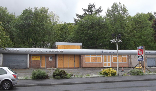
Loveclough
Loveclough is a small hamlet at the edge of the Rossendale Valley, in Lancashire, England, near Crawshawbooth and Rawtenstall, 20 miles north of Manchester...

Whitewell Brook
Whitewell Brook is a minor river in Lancashire, England. It is 4.34 miles (6.99 km) long and has a catchment area of 7.67 square miles (19.86 km2).The...

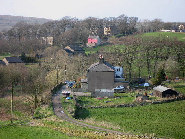
Lumb, Rawtenstall
Lumb is a small village in the Rossendale district of Lancashire, England. It lies in the valley of the Whitewell Brook, 3 miles (5 km) north east of Rawtenstall...
Nearby Amenities
Located within 500m of 53.722636,-2.2797325Have you been to Bullfield Plantation?
Leave your review of Bullfield Plantation below (or comments, questions and feedback).