Blunsdon

Civil Parish in Wiltshire

England

Blunsdon

Hayfield Wood Hayfield Wood housing estate in the process of construction.
Hayfield Wood Credit: Vieve Forward

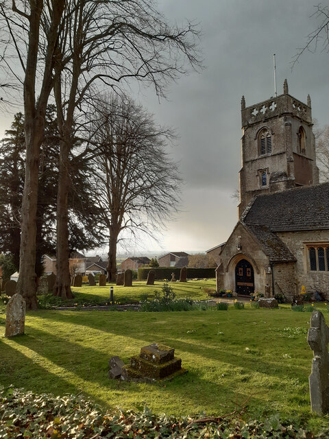
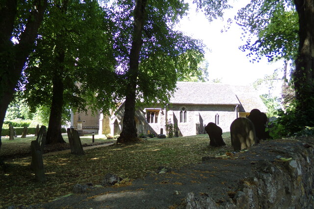
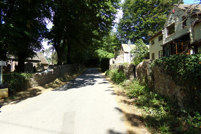
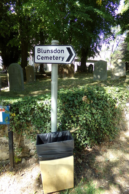
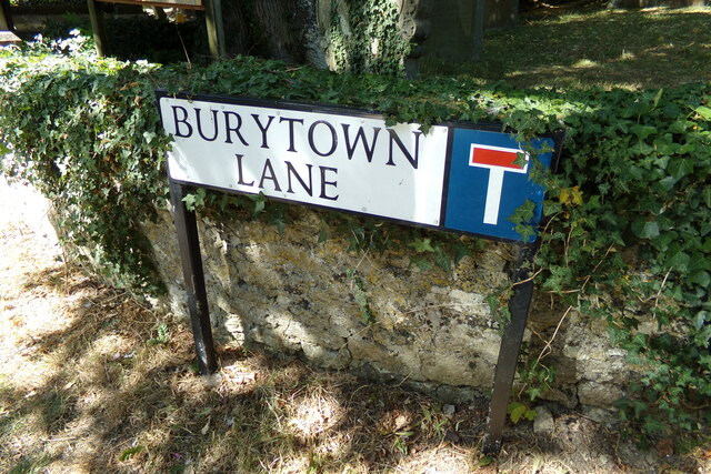
Blunsdon is a civil parish located in the county of Wiltshire, England. Situated approximately 4 miles north of Swindon, it covers an area of about 5 square miles. Blunsdon is bordered by other parishes such as Haydon Wick, Stanton Fitzwarren, and Broad Blunsdon.

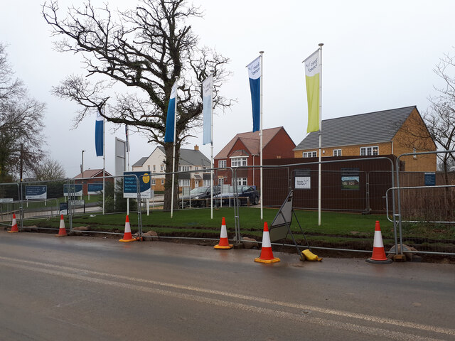
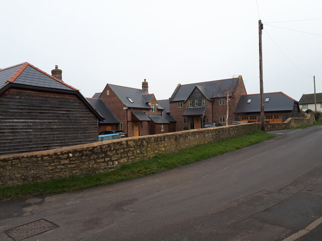
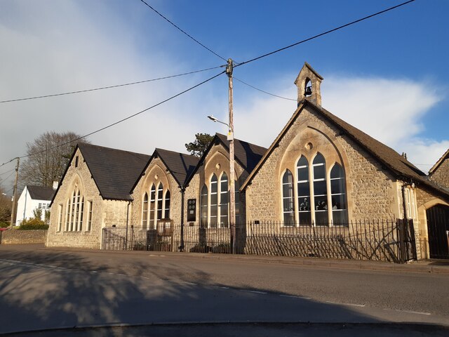
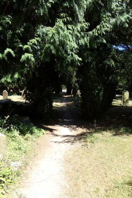
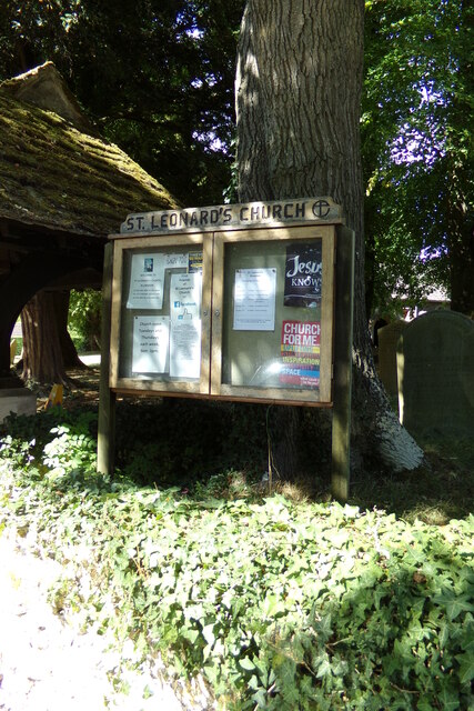
The parish is primarily a residential area, with a population of around 4,500 people. It is known for its picturesque countryside and charming village atmosphere. Blunsdon offers a range of amenities and services to its residents, including a primary school, a village hall, and a local pub. The area is also home to Blunsdon House Hotel, a popular accommodation option that attracts both tourists and locals for its beautiful surroundings and amenities.

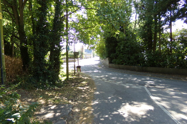
Blunsdon is well-connected to nearby towns and cities. The M4 motorway passes through the parish, providing easy access to Swindon, Bristol, and London. The village is also served by regular bus services, making it convenient for residents to travel within the area and to surrounding locations.

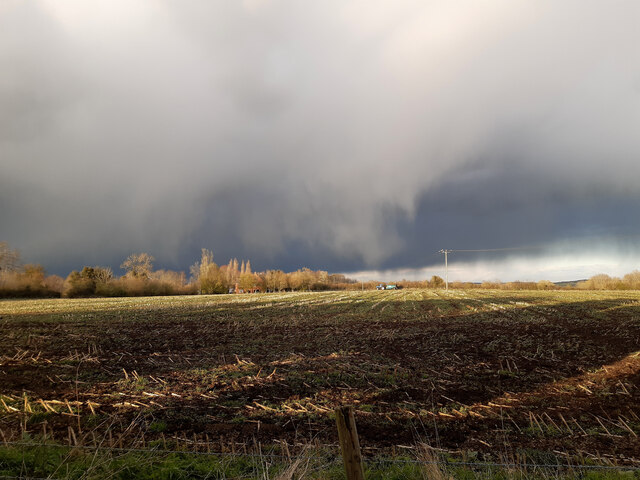
Nature lovers will appreciate Blunsdon's proximity to the North Wessex Downs Area of Outstanding Natural Beauty. This allows residents to enjoy outdoor activities such as hiking, cycling, and nature walks in the stunning countryside.

Overall, Blunsdon offers a peaceful and idyllic living environment, with a strong sense of community. Its location, amenities, and natural beauty make it an attractive place to reside for individuals and families alike.

If you have any feedback on the listing, please let us know in the comments section below.
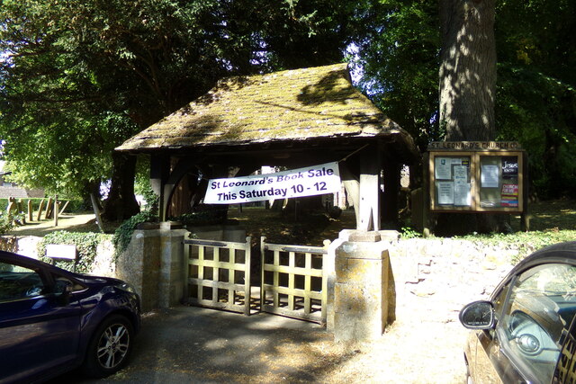
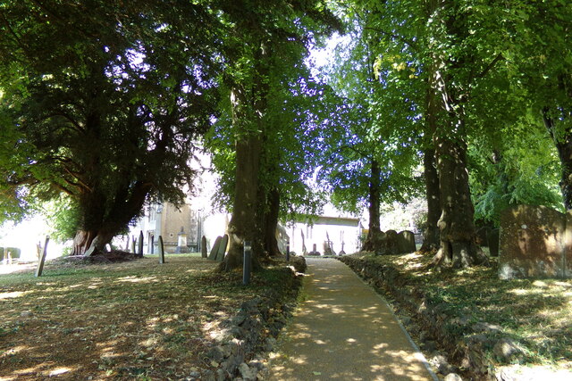
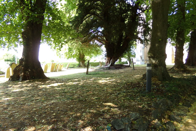
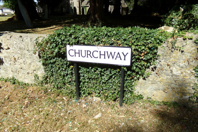
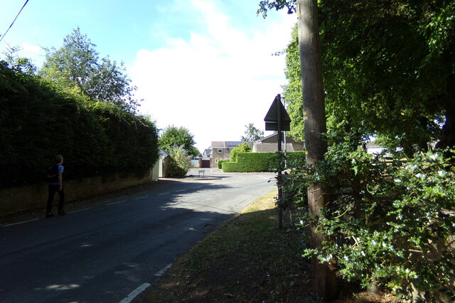
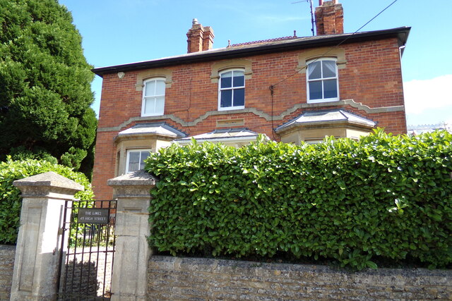
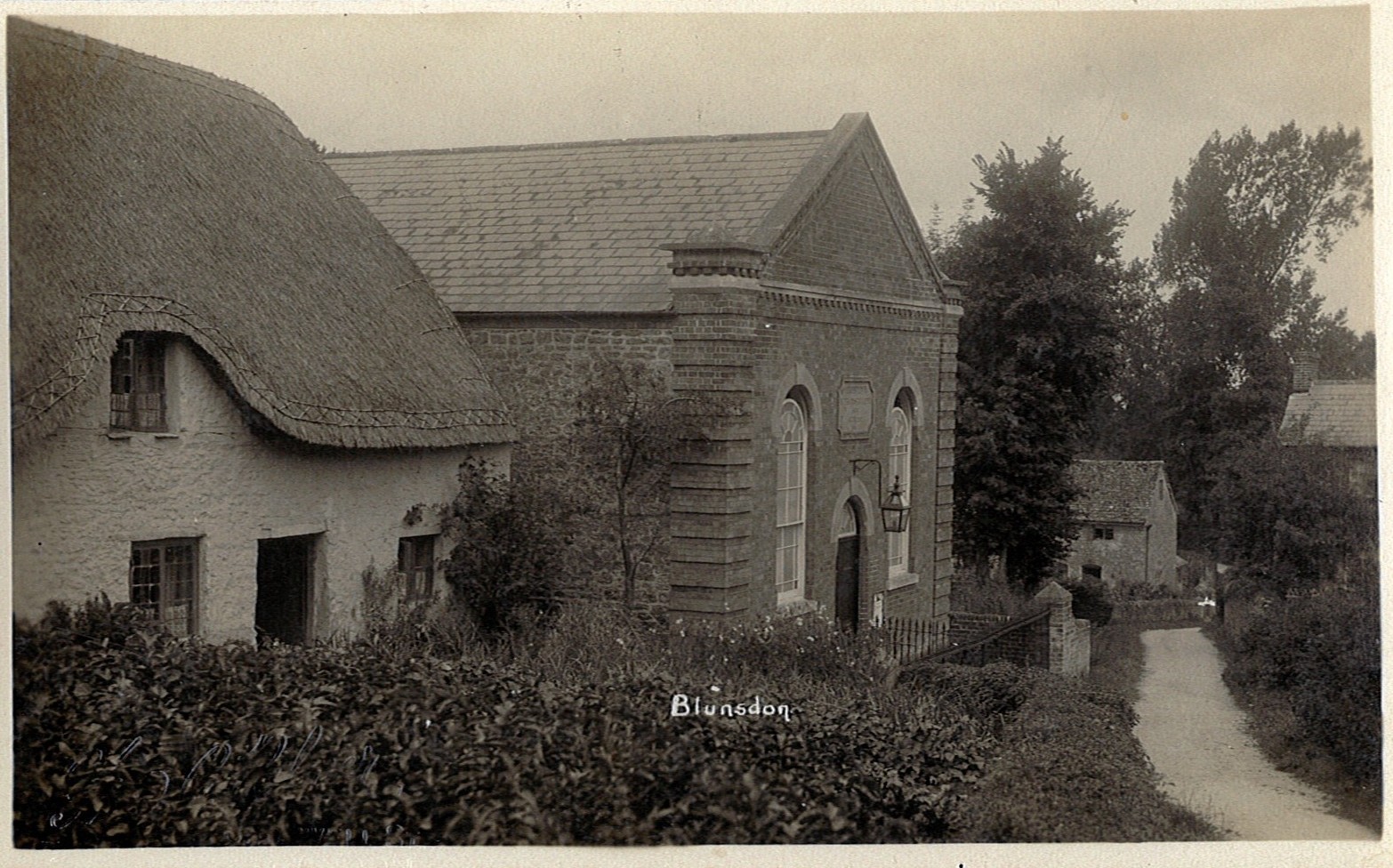
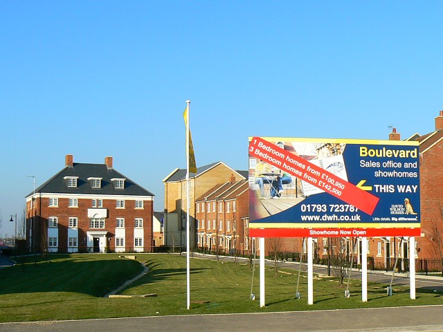
Blunsdon Images

Images are sourced within 2km of 51.618384/-1.781576 or Grid Reference SU1591. Thanks to Geograph Open Source API. All images are credited.

Hayfield Wood Hayfield Wood housing estate in the process of construction.
Hayfield Wood
Hayfield Wood housing estate in the process of construction.
King's Barn, Churchway
Blunsdon Village Hall Former school in the village.
Blunsdon Village Hall
Former school in the village.
Rain clouds gathering
Evening sun and rain clouds over St. Leonard's churchyard
St. Leonard's Church, Blunsdon Off Churchway at the junction with Burytown Lane
St. Leonard's Church, Blunsdon
Off Churchway at the junction with Burytown Lane
St. Leonard's Church Path Off Churchway at the junction with Burytown Lane
St. Leonard's Church Path
Off Churchway at the junction with Burytown Lane
High Street, Blunsdon At the junction with Churchway, Burytown Lane & Sams Lane near St. Leonard's Church
High Street, Blunsdon
At the junction with Churchway, Burytown Lane & Sams Lane near St. Leonard's Church
Burytown Lane, Blunsdon At the junction with Churchway & High Street near St. Leonard's Church & Church Cottage
Burytown Lane, Blunsdon
At the junction with Churchway & High Street near St. Leonard's Church & Church Cottage
Roadsign on Burygate Lane At the junction with Churchway near St. Leonard's Church & Church Cottage
Roadsign on Burygate Lane
At the junction with Churchway near St. Leonard's Church & Church Cottage
Burytown Lane sign On Burygate Lane at the junction with Churchway & High Street near St. Leonard's Church & Church Cottage
Burytown Lane sign
On Burygate Lane at the junction with Churchway & High Street near St. Leonard's Church & Church Cottage
St. Leonard's Church Notice Board On Burygate Lane at the junction with Churchway & High Street near St. Leonard's Church & Church Cottage
St. Leonard's Church Notice Board
On Burygate Lane at the junction with Churchway & High Street near St. Leonard's Church & Church Cottage
Lych Gate of St. Leonard's Church On Burygate Lane at the junction with Churchway & High Street near St. Leonard's Church & Church Cottage
Lych Gate of St. Leonard's Church
On Burygate Lane at the junction with Churchway & High Street near St. Leonard's Church & Church Cottage
St. Leonard's Church, Blunsdon Off Churchway at the junction with Burytown Lane
St. Leonard's Church, Blunsdon
Off Churchway at the junction with Burytown Lane
Churchyard at St. Leonard's Church Off Churchway at the junction with Burytown Lane
Churchyard at St. Leonard's Church
Off Churchway at the junction with Burytown Lane
Churchway sign On Churchway at the junction with Burytown Lane near St. Leonard' Church
Churchway sign
On Churchway at the junction with Burytown Lane near St. Leonard' Church
Churchway, Blunsdon Looking towards Manor Close at the junction with Burytown Lane near St. Leonard's Church.
Churchway, Blunsdon
Looking towards Manor Close at the junction with Burytown Lane near St. Leonard's Church.
The Limes, Blunsdon On High Street
The Limes, Blunsdon
On High Street
Show me another place!

Blunsdon is located at Grid Ref: SU1591 (Lat: 51.618384, Lng: -1.781576)

Unitary Authority: Swindon

Police Authority: Wiltshire

What 3 Words

///shelved.equivocal.blessing. Near Broad Blunsdon, Wiltshire

Nearby Locations

Blunsdon Castle Hill

Related Wikis

Blunsdon

Blunsdon is a civil parish in the Borough of Swindon, in Wiltshire, England, about 4 miles (6 km) north of the centre of Swindon, with the A419 forming...

Swindon Stadium

Swindon Stadium, also known as the Abbey Stadium, is a Greyhound Board of Great Britain regulated greyhound racing track and former speedway track in Blunsdon...

Stanton railway station

Stanton railway station served the village of Stanton Fitzwarren, in the historic county of Wiltshire, England, from 1883 to 1962 on the Highworth branch...

Stanton Fitzwarren

Stanton Fitzwarren is a village and civil parish 3 miles (4.8 km) north-east of Swindon, in Wiltshire, England. It is within the area of the unitary authority...

Ermin Way

Ermin Street or Ermin Way was a Roman road in Britain. It linked Glevum (Gloucester) and Corinium (Cirencester) to Calleva (Silchester).At Glevum, it connected...

Priory Vale

Priory Vale is a community in the north of the town of Swindon, Wiltshire, England, which comprises the urban villages of Redhouse, Oakhurst and Haydon...

Abbey Park School

Abbey Park School is a mixed secondary school in North Swindon, Wiltshire, England.The school was called Isambard School when it was established in 2007...

Hannington railway station

Hannington railway station is a former railway station near Hannington, in Wiltshire, England on the Highworth Branch Line from Swindon. The station was...

Nearby Amenities

Located within 500m of 51.618384,-1.781576
Blunsdon Village Shop
Addr Postcode: SN26 7AF
Addr Street: High Street
Disused Shop: convenience
Fhrs Id: 252827
Source Addr: FHRS Open Data
Lat/Long: 51.6141008/-1.7823369
Barrier: kissing_gate
Lat/Long: 51.6160983/-1.7770084
Defibrillator
Defibrillator Location: outside Blunsdon Village Hall
Emergency: defibrillator
Indoor: no
Ref GB The Circuit: A1F6F93D-9366-4E13-B1A1-AD55010733E8
Lat/Long: 51.6141782/-1.7822908
Historic: memorial
Memorial: war_memorial
Lat/Long: 51.6157253/-1.7770748
Addr City: Blunsdon
Addr Housename: The Old Rectory
Addr Street: Burytown Lane
Lat/Long: 51.6157328/-1.7795532
Addr City: Blunsdon
Addr Housename: Crackerbury
Addr Housenumber: 7
Addr Postcode: SN26 7DQ
Addr Street: Burytown Lane
Source Addr Postcode: code-point_open
Lat/Long: 51.6152549/-1.7790856
Bus Stop
Sams Lane
Bus: yes
Naptan AtcoCode: 4680SWA10554
Naptan Bearing: NW
Naptan CommonName: Sams Lane Bottom
Naptan Indicator: NW-bound
Naptan NaptanCode: swidjtm
Naptan PlusbusZoneRef: SDON
Naptan Street: Sams Lane
Naptan Verified: no
Public Transport: platform
Lat/Long: 51.6143785/-1.7806315
Give Way
Direction: forward
Lat/Long: 51.61539/-1.7863994
The data included in this document is from www.openstreetmap.org. The data is made available under ODbL.

Have you been to Blunsdon?

Leave your review of Blunsdon below (or comments, questions and feedback).