Bluntisham
Civil Parish in Huntingdonshire Huntingdonshire
England
Bluntisham
Bluntisham is a civil parish located in the district of Huntingdonshire, in the county of Cambridgeshire, England. It is situated approximately 10 miles east of Huntingdon and 5 miles north-west of St. Ives. The parish covers an area of around 1,200 acres and is home to a population of around 2,500 people.
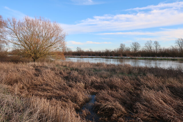
The village of Bluntisham is situated on the eastern bank of the Great Ouse River. It has a rich history, with evidence of human habitation dating back to the Neolithic period. The name "Bluntisham" is believed to derive from the Old English words "blunt" meaning "blunt" or "rounded," and "ham" meaning "homestead" or "village."
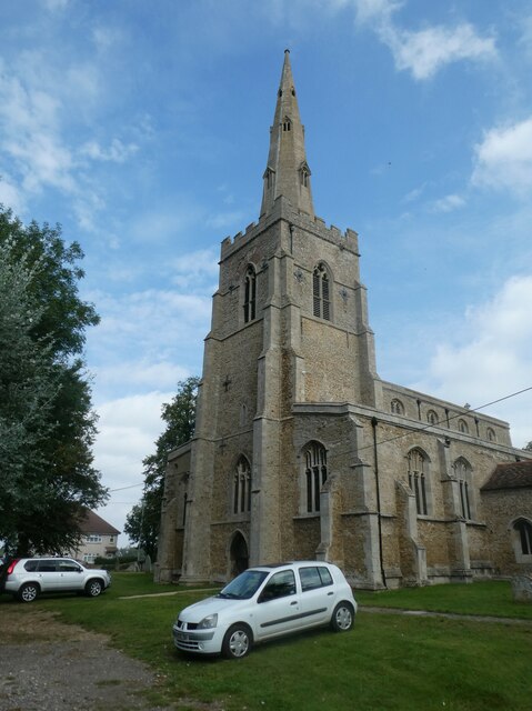
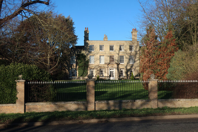
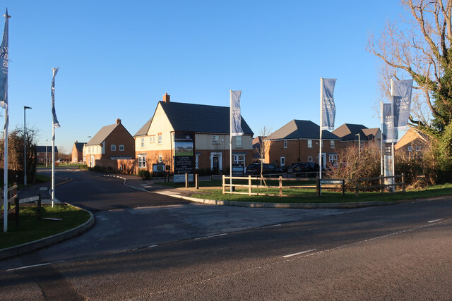
The village is mainly residential, with a mix of housing styles ranging from old thatched cottages to modern developments. It has a primary school, a post office, a village hall, and a number of local shops and businesses. The village also boasts a historic church, St. Mary's Church, which dates back to the 12th century.
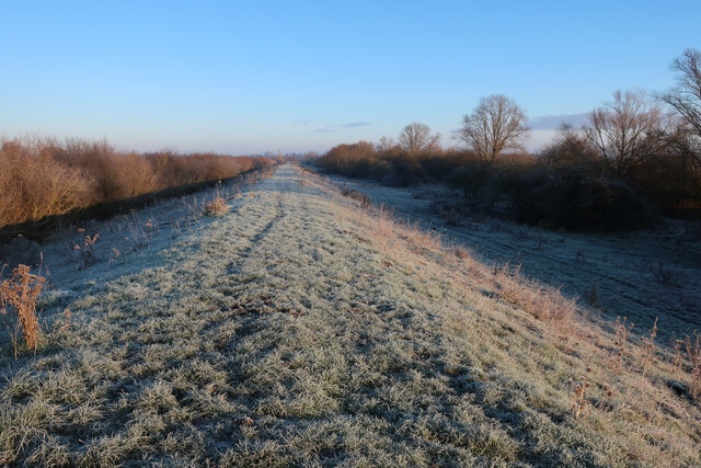
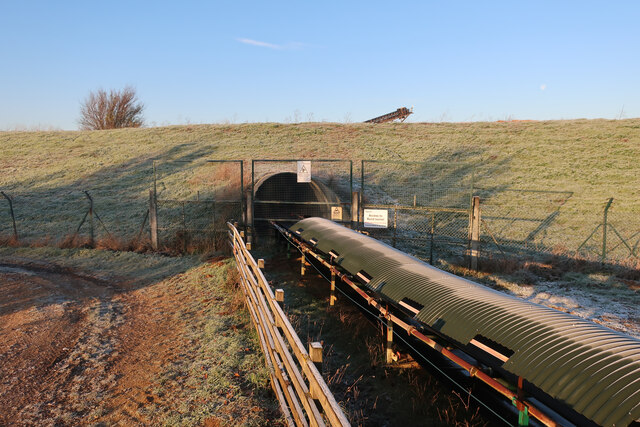
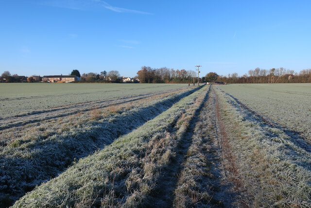
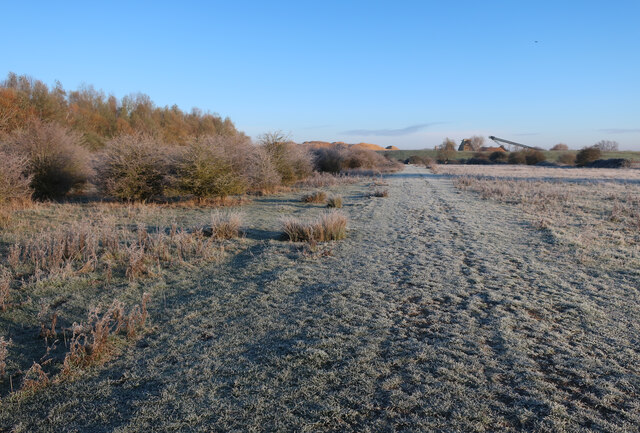
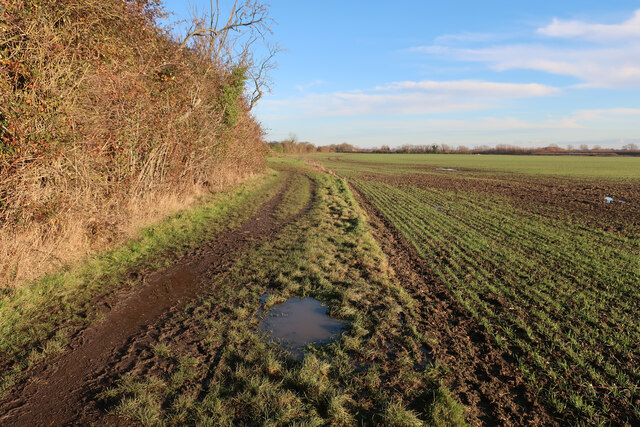
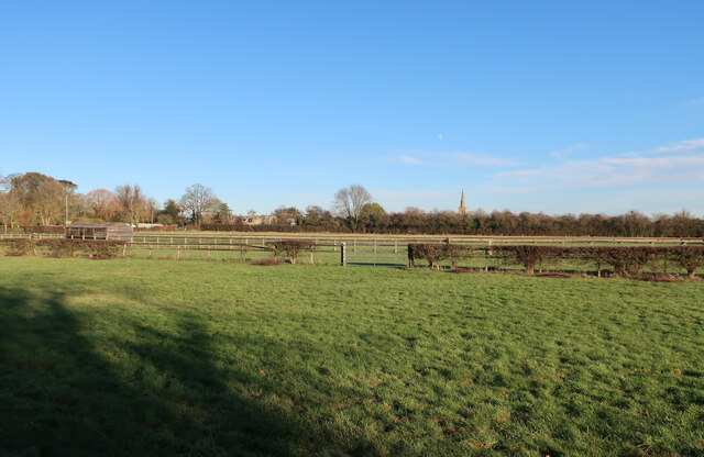
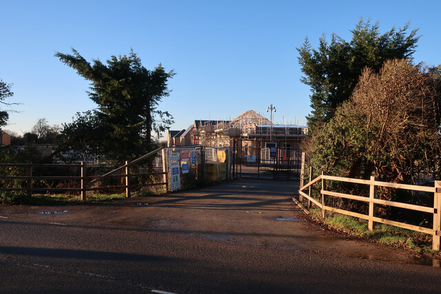
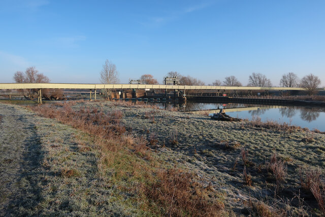
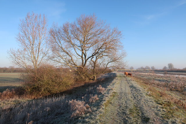
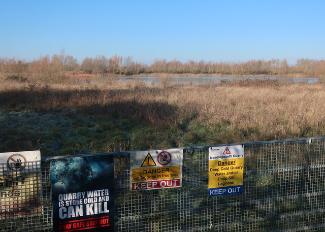
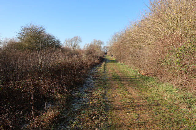
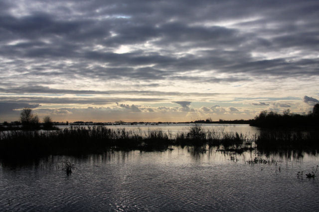
Bluntisham is surrounded by beautiful countryside, offering plenty of opportunities for outdoor activities such as walking, cycling, and boating. The Great Ouse River provides a picturesque backdrop for the village, and there are several nature reserves and wildlife habitats in the area, making it a haven for nature lovers.
Overall, Bluntisham is a charming village with a strong sense of community and a rich historical heritage. It offers a peaceful and idyllic setting for residents and visitors alike.
If you have any feedback on the listing, please let us know in the comments section below.
Bluntisham Images
Images are sourced within 2km of 52.348388/-0.008423 or Grid Reference TL3574. Thanks to Geograph Open Source API. All images are credited.
![Houses at Bluntisham A semi-detached pair at the junction of Holliday's Road with Rectory Road [A1123]. The RH one looks as if it has nest boxes for swifts, or other birds, under the eaves?](https://s1.geograph.org.uk/geophotos/07/17/66/7176609_75df0a8f.jpg)
Bluntisham is located at Grid Ref: TL3574 (Lat: 52.348388, Lng: -0.008423)
Administrative County: Cambridgeshire
District: Huntingdonshire
Police Authority: Cambridgeshire
What 3 Words
///cleans.jars.decorator. Near Bluntisham, Cambridgeshire
Nearby Locations
Related Wikis

Bluntisham railway station
Bluntisham railway station was a station in Bluntisham, Cambridgeshire on the Ely and St Ives Railway. The station closed for regular passenger services...

Bluntisham
Bluntisham is a village and civil parish in Cambridgeshire, England. The population of the civil parish at the 2011 census was 2,003. Bluntisham lies approximately...

Cambridgeshire
Cambridgeshire (abbreviated Cambs.) is a ceremonial county in the East of England and East Anglia. It is bordered by Lincolnshire to the north, Norfolk...
List of Sites of Special Scientific Interest in Cambridgeshire
Cambridgeshire is a county in eastern England, with an area of 339,746 hectares (1,312 sq mi) and a population as of mid-2015 of 841,218. It is crossed...

List of local nature reserves in Cambridgeshire
Cambridgeshire is a county in eastern England, with an area of 1,308 square miles (3,390 km2) and a population as of 2011 of 708,719. It is crossed by...

Colne, Cambridgeshire
Colne is a village and civil parish in Cambridgeshire, England. Colne lies about 9 miles (14 km) east of Huntingdon; the villages of Bluntisham, Woodhurst...

Earith
Earith is a village and civil parish in Cambridgeshire, England. Lying approximately 10 miles (16 km) east of Huntingdon, Earith is situated within Huntingdonshire...

Berry Fen
Berry Fen is a 15.3-hectare (38-acre) biological Site of Special Scientific Interest on the western outskirts of Earith in Cambridgeshire.This neutral...
Have you been to Bluntisham?
Leave your review of Bluntisham below (or comments, questions and feedback).