Blunham
Civil Parish in Bedfordshire
England
Blunham

Blunham is a civil parish located in the county of Bedfordshire, England. It is situated along the River Great Ouse and is approximately 10 miles east of Bedford, the county town. The parish covers an area of about 1,500 acres and has a population of around 1,700 residents.
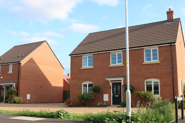
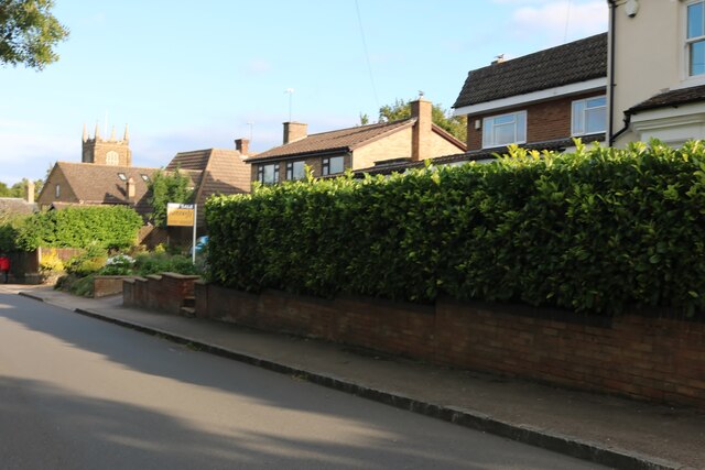
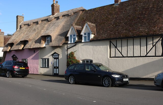
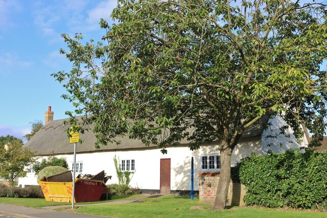
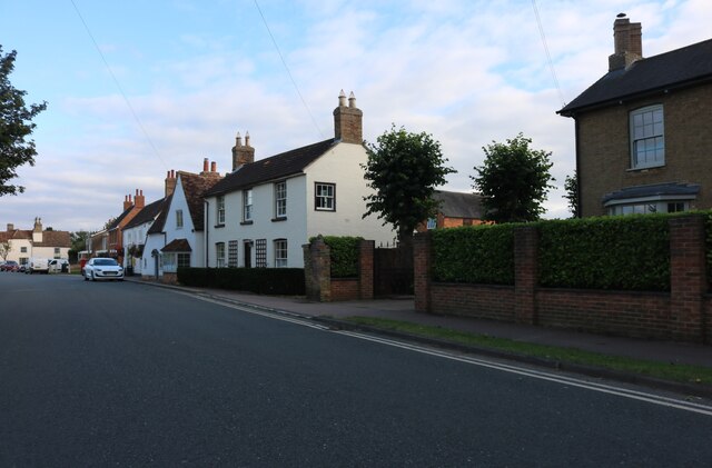
Blunham is a picturesque village with a rich history dating back to the Roman times. The name "Blunham" is derived from the Old English words "blæc" and "ham," meaning "dark homestead." The village is known for its charming thatched cottages, traditional stone buildings, and well-preserved historic architecture.
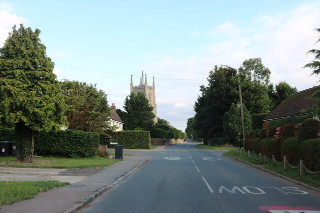
The heart of Blunham is its village green, which serves as a focal point for community events and gatherings. The village also boasts a 12th-century parish church, St. Edmund's, which is a notable landmark. The church features an impressive Norman tower and a beautifully crafted stained glass window.
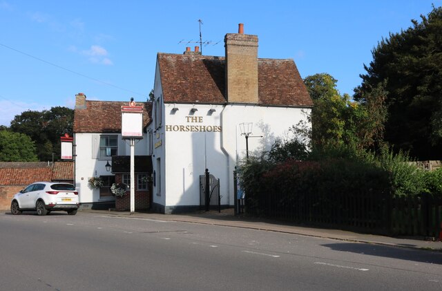
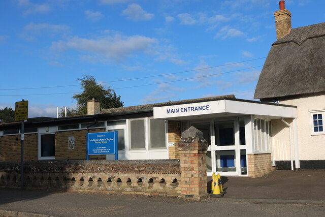
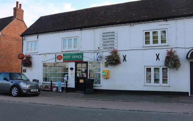
The local economy in Blunham is primarily based on agriculture, with several farms surrounding the village. However, there are also a few small businesses and amenities, including a village shop, a post office, and a pub. Blunham benefits from its proximity to the nearby towns of Bedford and Sandy, which provide additional employment opportunities and services.
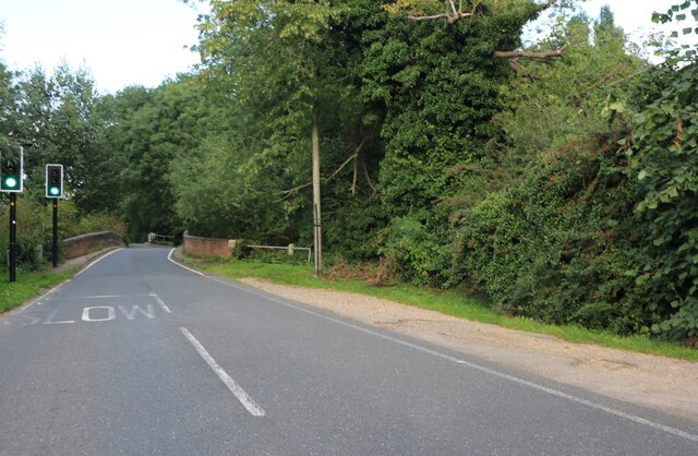
Blunham is well-connected by road, with the A1 road passing through the eastern edge of the parish. The village is also served by regular bus services, providing easy access to neighboring towns and villages.
Overall, Blunham is a charming and peaceful village, offering a close-knit community, rich history, and idyllic rural surroundings.
If you have any feedback on the listing, please let us know in the comments section below.
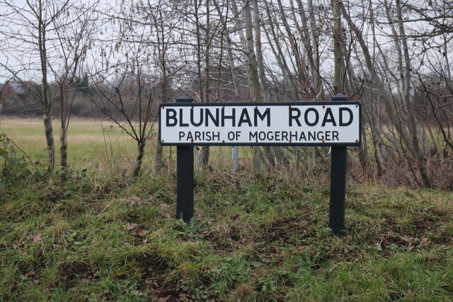
Blunham Images
Images are sourced within 2km of 52.152974/-0.325791 or Grid Reference TL1451. Thanks to Geograph Open Source API. All images are credited.
Blunham is located at Grid Ref: TL1451 (Lat: 52.152974, Lng: -0.325791)
Unitary Authority: Central Bedfordshire
Police Authority: Bedfordshire
What 3 Words
///sweetened.port.graceful. Near Blunham, Bedfordshire
Nearby Locations
Related Wikis

Blunham
Blunham is a village and civil parish in the Central Bedfordshire district of Bedfordshire, England, about 6 miles (10 km) east of Bedford town centre...

Great Barford Bridge
The early fifteenth century Great Barford Bridge, sometimes called simply Barford Bridge, spans the River Great Ouse at Great Barford, Bedfordshire. It...

Blunham railway station
Blunham was a railway station on the Varsity Line which served the small village of the same name in Bedfordshire. Opened in 1862, the station was located...

Alban Church of England Academy
Alban Church of England Academy (formerly Alban Church of England Middle School) was a mixed middle school located in Great Barford, Bedfordshire, England...
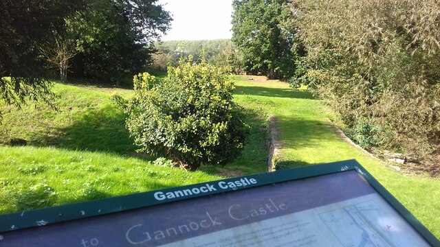
Gannocks Castle
Gannocks Castle is located in the village of Tempsford, in the county of Bedfordshire, England. It is located 6 miles east of Great Barford Castle and...

Great Barford
Great Barford is a village and civil parish in the Borough of Bedford, Bedfordshire, England, around 5 miles (8.0 km) north-east of Bedford town centre...

Tempsford Memorial
The Tempsford Memorial is a war memorial in the village of Tempsford in Bedfordshire. The village was the home of RAF Tempsford. The memorial commemorates...
Girtford Halt railway station
Girtford Halt was a short-lived railway halt on the Varsity Line which served the Girtford area of Sandy in Bedfordshire, England. It was opened by the...
Nearby Amenities
Located within 500m of 52.152974,-0.325791Have you been to Blunham?
Leave your review of Blunham below (or comments, questions and feedback).