Birch

Civil Parish in Essex Colchester

England

Birch

St Mary's Church Layer Breton
St Mary's Church Layer Breton Credit: PAUL FARMER

Birch is a civil parish located in the county of Essex, England. Situated approximately 10 miles northeast of the city of Chelmsford, Birch covers an area of approximately 4.7 square miles. It is a predominantly rural area with a population of around 500 residents.

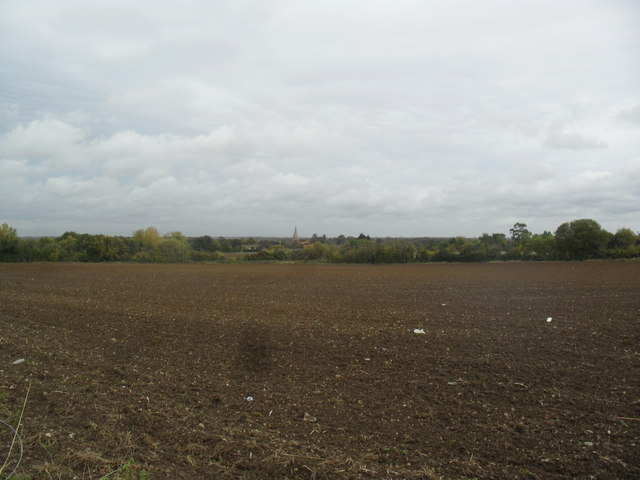
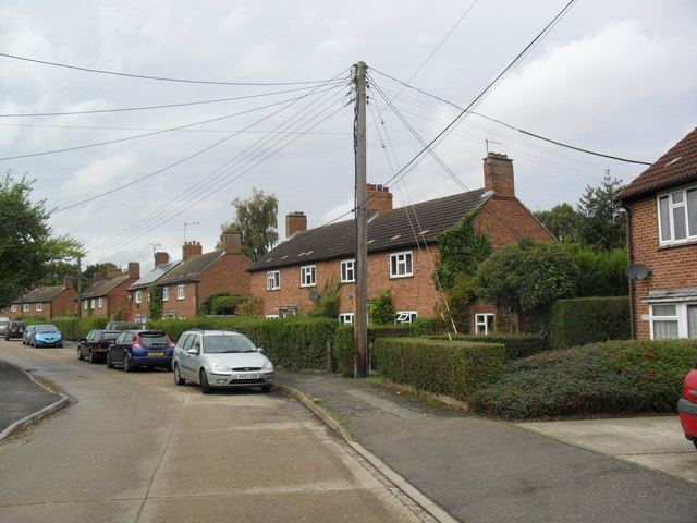
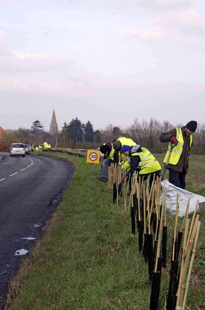
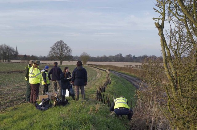
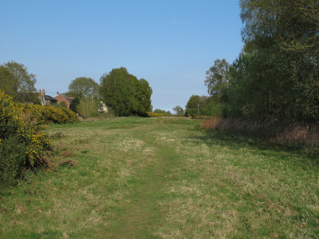
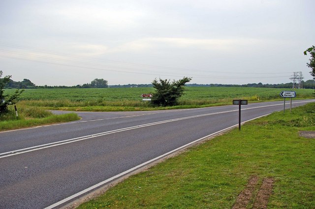
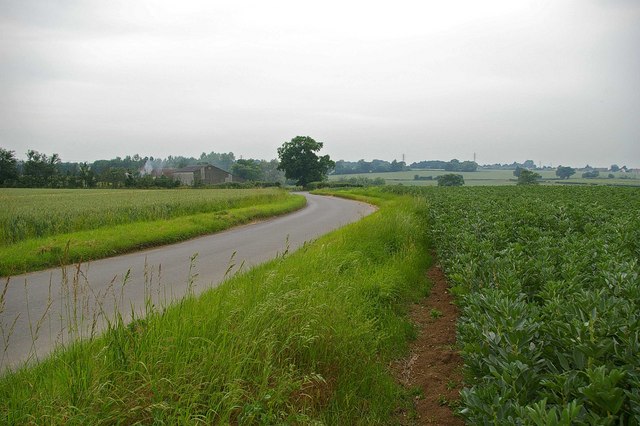
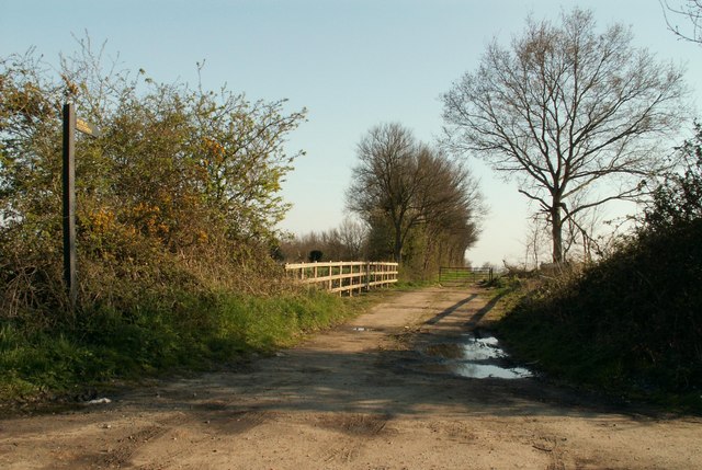
The parish is known for its picturesque countryside, characterized by rolling hills, meadows, and woodland areas. It is surrounded by several other small villages and hamlets, including Layer Breton, Layer Marney, and Layer de la Haye.

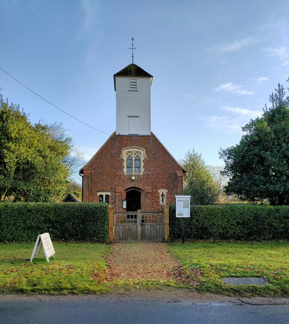
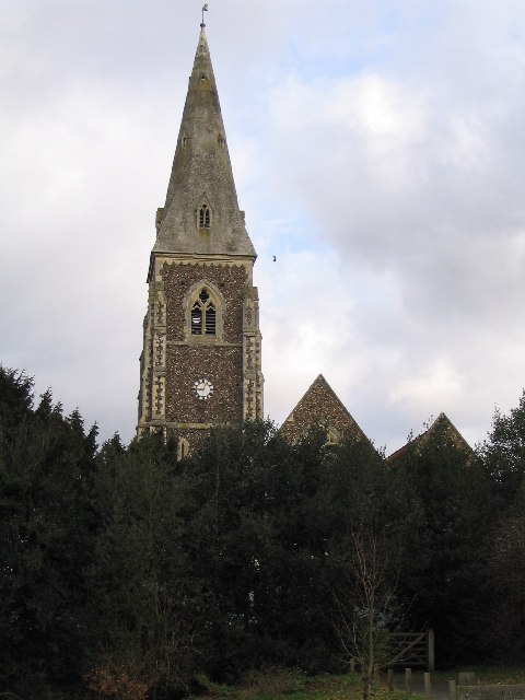
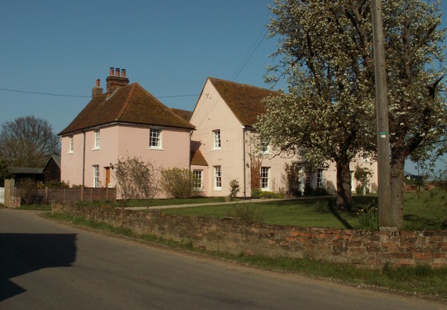
Birch is home to a number of historic landmarks and buildings, including St. Peter's Church, a Grade II listed building dating back to the 14th century. The church features a distinctive tower and stained glass windows.

Agriculture plays a significant role in the local economy, with many farms and agricultural businesses operating in the area. The fields surrounding Birch are primarily used for arable farming, producing crops such as wheat, barley, and rapeseed.

The parish benefits from a close-knit community, with social activities and events organized by local groups and organizations. These include regular gatherings at the village hall, which serves as a hub for community activities, meetings, and celebrations.

Birch offers a peaceful and idyllic living environment, with its natural beauty and rural setting attracting those seeking a slower pace of life away from the hustle and bustle of larger towns and cities.

If you have any feedback on the listing, please let us know in the comments section below.
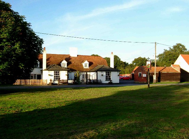
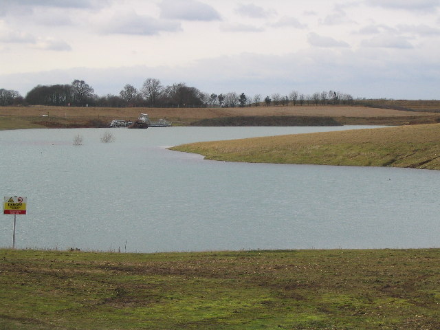
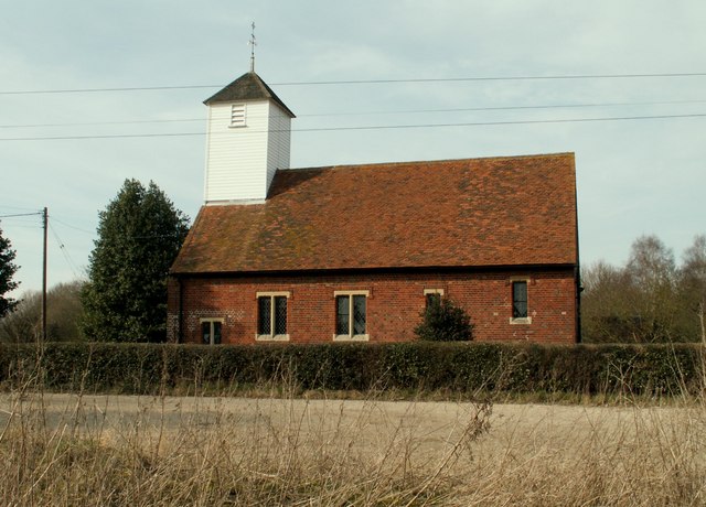
Birch Images

Images are sourced within 2km of 51.846949/0.809733 or Grid Reference TL9320. Thanks to Geograph Open Source API. All images are credited.

St Mary's Church Layer Breton
Birch Green Garages behind Greenfield Houses.
Birch Green
Garages behind Greenfield Houses.
Birch Green Play area.
Birch Green
Play area.
Farmland near Birch Ploughed field with Birch church in the background.
Farmland near Birch
Ploughed field with Birch church in the background.
Greenfield Houses 1950s council houses.
Greenfield Houses
1950s council houses.
New Hedge In Birch Green When I was a nipper I remember this hedge-line being grubbed up, encouraged by the policies  and financial incentives of the Ministry of Agriculture. Today in order to qualify for the Higher Level Stewardship Scheme subsidies hedges are in fashion  once  more! <span class="nowrap"><a title="http://www.naturalengland.gov.uk/ourwork/farming/funding/es/hls/default.aspx" rel="nofollow ugc noopener" href="http://www.naturalengland.gov.uk/ourwork/farming/funding/es/hls/default.aspx">Link</a><img style="margin-left:2px;" alt="External link" title="External link - shift click to open in new window" src="https://s1.geograph.org.uk/img/external.png" width="10" height="10"/></span>
Here volunteers from The Essex Wildlife Trust <span class="nowrap"><a title="http://www.essexwt.org.uk/" rel="nofollow ugc noopener" href="http://www.essexwt.org.uk/">Link</a><img style="margin-left:2px;" alt="External link" title="External link - shift click to open in new window" src="https://s1.geograph.org.uk/img/external.png" width="10" height="10"/></span> Groundworks UK <span class="nowrap"><a title="http://www.groundwork.org.uk/" rel="nofollow ugc noopener" href="http://www.groundwork.org.uk/">Link</a><img style="margin-left:2px;" alt="External link" title="External link - shift click to open in new window" src="https://s1.geograph.org.uk/img/external.png" width="10" height="10"/></span> and staff from Anglian Water (many thanks for the lunch folks!) are replanting the hedge with a mixture of native species. This is part of the Four Parishes Living Landscapes Project <span class="nowrap"><a title="http://www.essexwt.org.uk/news/four_parishes_hedgerow_project/" rel="nofollow ugc noopener" href="http://www.essexwt.org.uk/news/four_parishes_hedgerow_project/">Link</a><img style="margin-left:2px;" alt="External link" title="External link - shift click to open in new window" src="https://s1.geograph.org.uk/img/external.png" width="10" height="10"/></span>  that aims to restore four kilometres of hedgerow to provide a wildlife corridor between the dormice populations on <a href="https://www.geograph.org.uk/photo/153919">TL8714 : Tiptree Heath</a> and <a href="https://www.geograph.org.uk/photo/142671">TL9721 : Roman River Reserve</a>. The landowners get free trees and labour in exchange for a commitment to maintain the new hedge. See the end of the days toil at <a href="https://www.geograph.org.uk/photo/3352276">TL9419 : New Hedge in Pudding Lane</a> and the results of a previous sortie at
 <a href="https://www.geograph.org.uk/photo/3352294">TL9318 : New Hedge on Winter's Hill</a>
New Hedge In Birch Green
When I was a nipper I remember this hedge-line being grubbed up, encouraged by the policies and financial incentives of the Ministry of Agriculture. Today in order to qualify for the Higher Level Stewardship Scheme subsidies hedges are in fashion once more! LinkExternal link Here volunteers from The Essex Wildlife Trust LinkExternal link Groundworks UK LinkExternal link and staff from Anglian Water (many thanks for the lunch folks!) are replanting the hedge with a mixture of native species. This is part of the Four Parishes Living Landscapes Project LinkExternal link that aims to restore four kilometres of hedgerow to provide a wildlife corridor between the dormice populations on TL8714 : Tiptree Heath and TL9721 : Roman River Reserve. The landowners get free trees and labour in exchange for a commitment to maintain the new hedge. See the end of the days toil at TL9419 : New Hedge in Pudding Lane and the results of a previous sortie at TL9318 : New Hedge on Winter's Hill
New Hedge in Pudding Lane When I was a nipper I remember the hedges round here being grubbed up, encouraged by the policies  and financial incentives  of  the Ministry of Agriculture. Today in order to qualify for the Higher Level Stewardship Scheme subsidies hedges are in fashion  once  more <span class="nowrap"><a title="http://www.naturalengland.gov.uk/ourwork/farming/funding/es/hls/default.aspx" rel="nofollow ugc noopener" href="http://www.naturalengland.gov.uk/ourwork/farming/funding/es/hls/default.aspx">Link</a><img style="margin-left:2px;" alt="External link" title="External link - shift click to open in new window" src="https://s1.geograph.org.uk/img/external.png" width="10" height="10"/></span>
Here volunteers from The Essex Wildlife Trust <span class="nowrap"><a title="http://www.essexwt.org.uk/" rel="nofollow ugc noopener" href="http://www.essexwt.org.uk/">Link</a><img style="margin-left:2px;" alt="External link" title="External link - shift click to open in new window" src="https://s1.geograph.org.uk/img/external.png" width="10" height="10"/></span> Groundworks UK <span class="nowrap"><a title="http://www.groundwork.org.uk/" rel="nofollow ugc noopener" href="http://www.groundwork.org.uk/">Link</a><img style="margin-left:2px;" alt="External link" title="External link - shift click to open in new window" src="https://s1.geograph.org.uk/img/external.png" width="10" height="10"/></span> and staff from Anglian Water are just completing  a days work replanting the hedge with a mixture of native species. This is part of the four Parishes Living Landscapes Project <span class="nowrap"><a title="http://www.essexwt.org.uk/news/four_parishes_hedgerow_project/" rel="nofollow ugc noopener" href="http://www.essexwt.org.uk/news/four_parishes_hedgerow_project/">Link</a><img style="margin-left:2px;" alt="External link" title="External link - shift click to open in new window" src="https://s1.geograph.org.uk/img/external.png" width="10" height="10"/></span>  that aims to restore four kilometres of hedgerow to provide a wildlife corridor between the dormice populations on  <a href="https://www.geograph.org.uk/photo/153919">TL8714 : Tiptree Heath</a> and <a href="https://www.geograph.org.uk/photo/142671">TL9721 : Roman River Reserve</a>. The landowners get free trees and labour in exchange for a commitment to maintain the new hedge. See the start of the days toil at <a href="https://www.geograph.org.uk/photo/3352267">TL9419 : New Hedge In Birch Green</a> and the results of a previous sortie at
 <a href="https://www.geograph.org.uk/photo/3352294">TL9318 : New Hedge on Winter's Hill</a>
New Hedge in Pudding Lane
When I was a nipper I remember the hedges round here being grubbed up, encouraged by the policies and financial incentives of the Ministry of Agriculture. Today in order to qualify for the Higher Level Stewardship Scheme subsidies hedges are in fashion once more LinkExternal link Here volunteers from The Essex Wildlife Trust LinkExternal link Groundworks UK LinkExternal link and staff from Anglian Water are just completing a days work replanting the hedge with a mixture of native species. This is part of the four Parishes Living Landscapes Project LinkExternal link that aims to restore four kilometres of hedgerow to provide a wildlife corridor between the dormice populations on TL8714 : Tiptree Heath and TL9721 : Roman River Reserve. The landowners get free trees and labour in exchange for a commitment to maintain the new hedge. See the start of the days toil at TL9419 : New Hedge In Birch Green and the results of a previous sortie at TL9318 : New Hedge on Winter's Hill
Layer Breton Heath Layer Breton Heath is currently being actively restored to a more traditional heathland, with the thinning of birches and management of gorse: The intention  is to restore a significant amount back to acid grassland, while retaining woodland and several large areas of scrub. See <span class="nowrap"><a title="http://www.bretonheath.me.uk/LB-heath.htm" rel="nofollow ugc noopener" href="http://www.bretonheath.me.uk/LB-heath.htm">Link</a><img style="margin-left:2px;" alt="External link" title="External link - shift click to open in new window" src="https://s1.geograph.org.uk/img/external.png" width="10" height="10"/></span> <span class="nowrap"><a title="http://www.webcitation.org/6GRJAokbg" rel="nofollow ugc noopener" href="http://www.webcitation.org/6GRJAokbg">Link</a><img style="margin-left:2px;" alt="External link" title="External link - shift click to open in new window" src="https://s1.geograph.org.uk/img/external.png" width="10" height="10"/></span>
Layer Breton Heath
Layer Breton Heath is currently being actively restored to a more traditional heathland, with the thinning of birches and management of gorse: The intention is to restore a significant amount back to acid grassland, while retaining woodland and several large areas of scrub. See LinkExternal link LinkExternal link
Hare & Hounds at Layer Bretton Heath This is the Hare & Hounds at Layer Bretton Heath. The piece of green in the foreground is the only bit of ground that remotely resembles a heath now. Over the past 30 years due to lack of grazing and control of grass fires the view from the pub has changed from open grassland and bramble bushes to young broad leaf woodland.
Hare & Hounds at Layer Bretton Heath
This is the Hare & Hounds at Layer Bretton Heath. The piece of green in the foreground is the only bit of ground that remotely resembles a heath now. Over the past 30 years due to lack of grazing and control of grass fires the view from the pub has changed from open grassland and bramble bushes to young broad leaf woodland.
St. Peter's Church In the village of Birch
St. Peter's Church
In the village of Birch
Lake made from gravel pit There are a lot of gravel pits in the Colchester area
Lake made from gravel pit
There are a lot of gravel pits in the Colchester area
St. Mary's church, Layer Breton, Essex This church was built in 1923.
St. Mary's church, Layer Breton, Essex
This church was built in 1923.
Roundbush Not Evident This is the B1022 Maldon Road at Roundbush Corner the road to the left is Roundbush Road the turn off for <a href="https://www.geograph.org.uk/photo/25610">TL9217 : Layer Marney Towers</a>. In the background you can see the point where a high-tension power line goes underground it resurfaces at <a href="https://www.geograph.org.uk/photo/188450">TL9019 : Underground Lines</a>
Roundbush Not Evident
This is the B1022 Maldon Road at Roundbush Corner the road to the left is Roundbush Road the turn off for TL9217 : Layer Marney Towers. In the background you can see the point where a high-tension power line goes underground it resurfaces at TL9019 : Underground Lines
Crop Rotation? at Garlands Farm This lane connects Layer Bretton and Garlands Farm (in the background). The shot seems to show half of the classic Norfolk four-course rotation scheme with legumes to the right and cereal to the left.
Crop Rotation? at Garlands Farm
This lane connects Layer Bretton and Garlands Farm (in the background). The shot seems to show half of the classic Norfolk four-course rotation scheme with legumes to the right and cereal to the left.
View up disused wartime runway Looking along the disused wartime runway adjacent to Blind Lane
View up disused wartime runway
Looking along the disused wartime runway adjacent to Blind Lane
The road from Birch Green to Layer de la Haye
The farmhouse at Garlands farm
Public footpath and track to Nevards Farm
Show me another place!

Birch is located at Grid Ref: TL9320 (Lat: 51.846949, Lng: 0.809733)

Administrative County: Essex

District: Colchester

Police Authority: Essex

What 3 Words

///domain.untruth.peanut. Near Layer de la Haye, Essex

Nearby Locations

Hardy's Green Birch

Related Wikis

Nearby Amenities

Located within 500m of 51.846949,0.809733
Bus Stop
Caper Road
Naptan AtcoCode: 150014005016
Naptan Bearing: NE
Naptan BusStopType: CUS
Naptan CommonName: Caper Road
Naptan Crossing: Caper Road
Naptan Indicator: Opp
Naptan Landmark: Caper Road
Naptan NaptanCode: esxdajaw
Naptan Street: Maldon Road B1022
Naptan Verified: no
Public Transport: platform
Source: naptan_import
Lat/Long: 51.8441773/0.8109143
Bus Stop
Caper Road
Naptan AtcoCode: 150014005Y16
Naptan Bearing: SW
Naptan BusStopType: CUS
Naptan CommonName: Caper Road
Naptan Crossing: Caper Road
Naptan Indicator: Adj
Naptan Landmark: Caper Road
Naptan NaptanCode: esxjagad
Naptan Street: Maldon Road
Naptan Verified: no
Public Transport: platform
Source: naptan_import
Lat/Long: 51.8439904/0.8107216
Bus Stop
Lower Road
Naptan AtcoCode: 1500IM1547
Naptan Bearing: S
Naptan BusStopType: CUS
Naptan CommonName: Lower Road
Naptan Crossing: Lower Road
Naptan Indicator: Adj
Naptan Landmark: Lower Road
Naptan NaptanCode: esxadjwa
Naptan Street: Maldon Road
Naptan Verified: no
Public Transport: platform
Source: naptan_import
Lat/Long: 51.8460107/0.8140726
Bus Stop
Lower Road
Naptan AtcoCode: 1500IM1547Y
Naptan Bearing: N
Naptan BusStopType: CUS
Naptan CommonName: Lower Road
Naptan Crossing: Lower Road
Naptan Indicator: Opp
Naptan Landmark: Lower Road
Naptan NaptanCode: esxjadwt
Naptan Street: Maldon Road
Naptan Verified: no
Public Transport: platform
Source: naptan_import
Lat/Long: 51.8457451/0.8138
The data included in this document is from www.openstreetmap.org. The data is made available under ODbL.

Have you been to Birch?

Leave your review of Birch below (or comments, questions and feedback).