Hardy's Green

Settlement in Essex Colchester

England

Hardy's Green

Beside a patch of woodland on Easthorpe Road Part of Cantfield's Farm farmhouse can be seen ahead.
Beside a patch of woodland on Easthorpe Road Credit: Trevor Harris

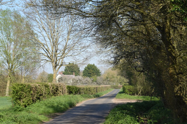
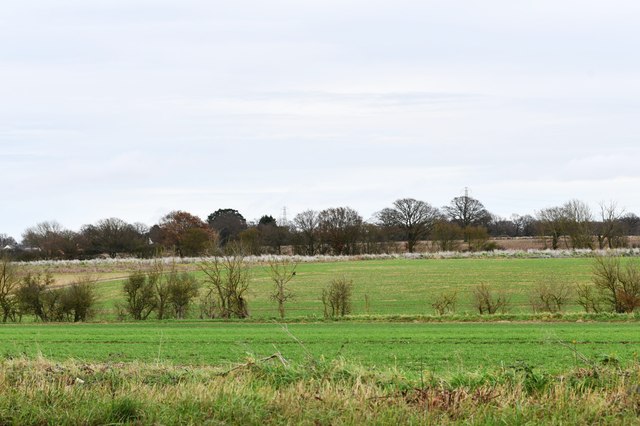
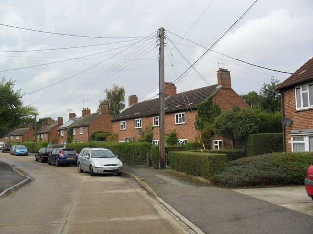
Hardy's Green is a small village located in the county of Essex, England. Situated in the Uttlesford district, it is nestled in the picturesque countryside, surrounded by lush green fields and meadows. The village is known for its tranquil and idyllic setting, making it a popular destination for those seeking a peaceful retreat away from the hustle and bustle of city life.

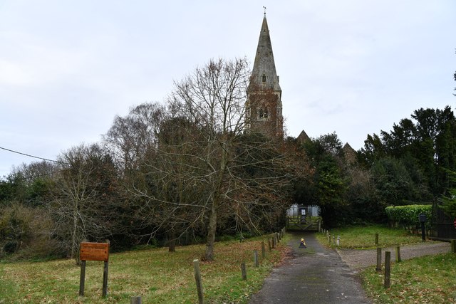
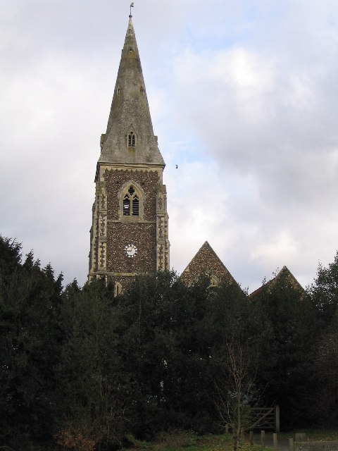
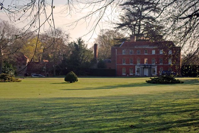
The village is characterized by its traditional architecture, with many historic buildings dating back several centuries. The local church, St. Mary's, is a prominent feature of Hardy's Green, showcasing stunning medieval craftsmanship and attracting visitors interested in its rich history.

Although small in size, the village boasts a strong sense of community and offers a range of amenities to its residents. The village pub, The Green Inn, is a popular gathering spot, serving delicious food and providing a warm and friendly atmosphere for locals and visitors alike.

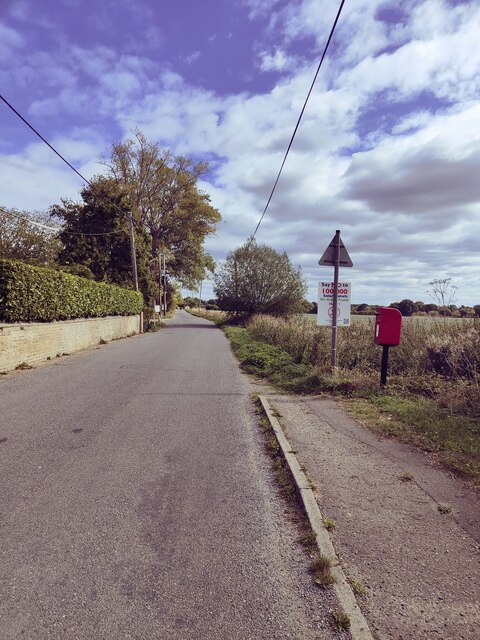
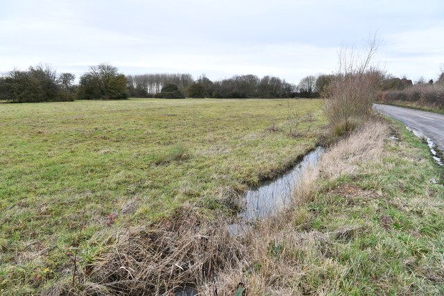
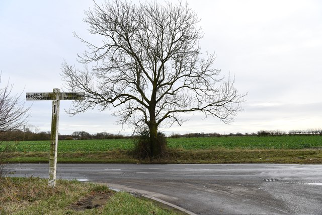
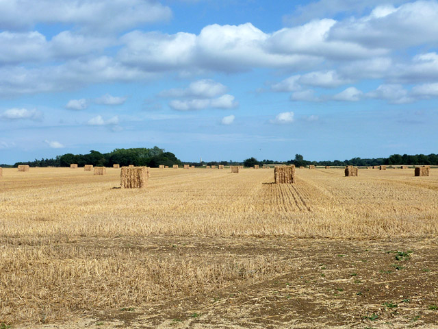
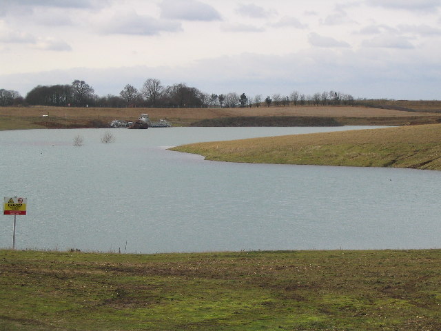
Hardy's Green is also surrounded by beautiful natural landscapes, making it an ideal location for outdoor enthusiasts. The nearby countryside offers extensive walking and cycling trails, allowing residents and tourists to explore the stunning scenery at their leisure. Additionally, the village is well-connected to nearby towns and cities, such as Saffron Walden and Cambridge, providing access to a wider range of amenities and attractions.

Overall, Hardy's Green is a charming village that combines a rich historical heritage with an abundance of natural beauty, making it an attractive destination for those seeking a peaceful and picturesque retreat in the heart of Essex.

If you have any feedback on the listing, please let us know in the comments section below.

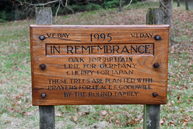
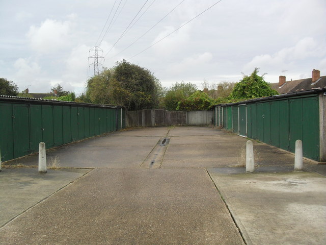
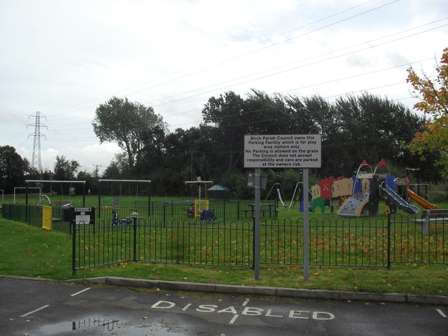
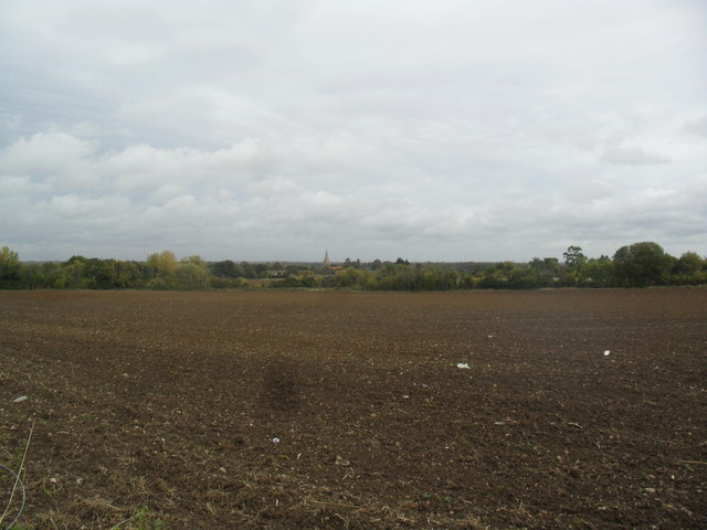
Hardy's Green Images

Images are sourced within 2km of 51.851251/0.802478 or Grid Reference TL9320. Thanks to Geograph Open Source API. All images are credited.

Beside a patch of woodland on Easthorpe Road Part of Cantfield's Farm farmhouse can be seen ahead.
Beside a patch of woodland on Easthorpe Road
Part of Cantfield's Farm farmhouse can be seen ahead.
Easthorpe Road, Eastthorpe
Birch: Very boggy field and practically full drainage channel
Birch: B1022 junction
Birch: Fields
Birch: Fields
Birch, St. Peter's Church: Western aspect occluded by trees
Birch: 'Linden House'
Birch Church of England Primary School
Birch: Plaque to show that three trees were planted in 1995 to remember V.E. Day and V.J. Day
Birch Green Garages behind Greenfield Houses.
Birch Green
Garages behind Greenfield Houses.
Birch Green Play area.
Birch Green
Play area.
Farmland near Birch Ploughed field with Birch church in the background.
Farmland near Birch
Ploughed field with Birch church in the background.
Greenfield Houses 1950s council houses.
Greenfield Houses
1950s council houses.
New Hedge In Birch Green When I was a nipper I remember this hedge-line being grubbed up, encouraged by the policies  and financial incentives of the Ministry of Agriculture. Today in order to qualify for the Higher Level Stewardship Scheme subsidies hedges are in fashion  once  more! <span class="nowrap"><a title="http://www.naturalengland.gov.uk/ourwork/farming/funding/es/hls/default.aspx" rel="nofollow ugc noopener" href="http://www.naturalengland.gov.uk/ourwork/farming/funding/es/hls/default.aspx">Link</a><img style="margin-left:2px;" alt="External link" title="External link - shift click to open in new window" src="https://s1.geograph.org.uk/img/external.png" width="10" height="10"/></span>
Here volunteers from The Essex Wildlife Trust <span class="nowrap"><a title="http://www.essexwt.org.uk/" rel="nofollow ugc noopener" href="http://www.essexwt.org.uk/">Link</a><img style="margin-left:2px;" alt="External link" title="External link - shift click to open in new window" src="https://s1.geograph.org.uk/img/external.png" width="10" height="10"/></span> Groundworks UK <span class="nowrap"><a title="http://www.groundwork.org.uk/" rel="nofollow ugc noopener" href="http://www.groundwork.org.uk/">Link</a><img style="margin-left:2px;" alt="External link" title="External link - shift click to open in new window" src="https://s1.geograph.org.uk/img/external.png" width="10" height="10"/></span> and staff from Anglian Water (many thanks for the lunch folks!) are replanting the hedge with a mixture of native species. This is part of the Four Parishes Living Landscapes Project <span class="nowrap"><a title="http://www.essexwt.org.uk/news/four_parishes_hedgerow_project/" rel="nofollow ugc noopener" href="http://www.essexwt.org.uk/news/four_parishes_hedgerow_project/">Link</a><img style="margin-left:2px;" alt="External link" title="External link - shift click to open in new window" src="https://s1.geograph.org.uk/img/external.png" width="10" height="10"/></span>  that aims to restore four kilometres of hedgerow to provide a wildlife corridor between the dormice populations on <a href="https://www.geograph.org.uk/photo/153919">TL8714 : Tiptree Heath</a> and <a href="https://www.geograph.org.uk/photo/142671">TL9721 : Roman River Reserve</a>. The landowners get free trees and labour in exchange for a commitment to maintain the new hedge. See the end of the days toil at <a href="https://www.geograph.org.uk/photo/3352276">TL9419 : New Hedge in Pudding Lane</a> and the results of a previous sortie at
 <a href="https://www.geograph.org.uk/photo/3352294">TL9318 : New Hedge on Winter's Hill</a>
New Hedge In Birch Green
When I was a nipper I remember this hedge-line being grubbed up, encouraged by the policies and financial incentives of the Ministry of Agriculture. Today in order to qualify for the Higher Level Stewardship Scheme subsidies hedges are in fashion once more! LinkExternal link Here volunteers from The Essex Wildlife Trust LinkExternal link Groundworks UK LinkExternal link and staff from Anglian Water (many thanks for the lunch folks!) are replanting the hedge with a mixture of native species. This is part of the Four Parishes Living Landscapes Project LinkExternal link that aims to restore four kilometres of hedgerow to provide a wildlife corridor between the dormice populations on TL8714 : Tiptree Heath and TL9721 : Roman River Reserve. The landowners get free trees and labour in exchange for a commitment to maintain the new hedge. See the end of the days toil at TL9419 : New Hedge in Pudding Lane and the results of a previous sortie at TL9318 : New Hedge on Winter's Hill
Harvested field, former RAF Birch Viewed from Blind Lane, which uses the course of runway 02/20. Birch church is just showing just left of centre.
Harvested field, former RAF Birch
Viewed from Blind Lane, which uses the course of runway 02/20. Birch church is just showing just left of centre.
Private road to Birch Airfield Compost Site This uses the course of runway 08/26. It is accessed through a barrier (just behind the camera) from Blind Lane, which uses the course of runway 02/20.
Private road to Birch Airfield Compost Site
This uses the course of runway 08/26. It is accessed through a barrier (just behind the camera) from Blind Lane, which uses the course of runway 02/20.
St. Peter's Church In the village of Birch
St. Peter's Church
In the village of Birch
Lake made from gravel pit There are a lot of gravel pits in the Colchester area
Lake made from gravel pit
There are a lot of gravel pits in the Colchester area
Show me another place!

Hardy's Green is located at Grid Ref: TL9320 (Lat: 51.851251, Lng: 0.802478)

Administrative County: Essex

District: Colchester

Police Authority: Essex

What 3 Words

///scratches.clashing.riot. Near Marks Tey, Essex

Nearby Locations

Hardy's Green Birch

Related Wikis

Hardy's Green

Hardy's Green is a hamlet in civil parish of Birch in the Colchester district, in the county of Essex, England. Nearby settlements include the large town...

Birch, Essex

Birch is a village and civil parish in the City of Colchester district of Essex, England. It is located approximately 5 miles (8 km) south-west of Colchester...

Heckfordbridge

Heckfordbridge or Heckford is a hamlet in the civil parish of Birch, in the county of Essex, England. The settlement is on the B1022 road, between Colchester...
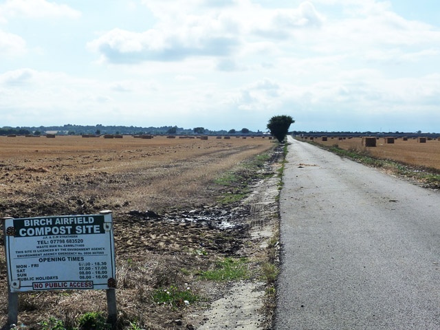
RAF Birch

Royal Air Force Birch or more simply RAF Birch is a former Royal Air Force station in Essex, England. The airfield is located 2 mi (3.2 km) northeast...

Copford Green

Copford Green is a hamlet within the civil parish of Copford and the district of Colchester in Essex, England. It is near the A12 and A120 roads, and is...

Copford Hall

Copford Hall is a manorial seat and Grade II listed country house, with gardens by Capability Brown, in the village of Copford, Essex, England, 46 miles...

Easthorpe, Essex

Easthorpe is a small village and former civil parish, now in the parish of Copford, in the Colchester district, in the county of Essex, England. Easthorpe...

Smythe's Green

Smythe's Green is a hamlet on the B1022 road, in the Colchester district, in the county of Essex, England. It is located in between the villages of Tiptree...

Nearby Amenities

Located within 500m of 51.851251,0.802478
Post Box
Operator: Royal Mail
Post Box Mounting: brick_pillar
Post Box Type: wall
Ref: CO2 81
Royal Cypher: GVIR
Royal Cypher Wikidata: Q33102169
Lat/Long: 51.850788/0.8035726
Hardys Green
Naptan AtcoCode: 150014005021
Naptan Bearing: S
Naptan BusStopType: CUS
Naptan CommonName: Hardys Green
Naptan Indicator: Opp
Naptan Landmark: Hardys Green
Naptan NaptanCode: esxdamgp
Naptan Street: Hardys Green Road
Naptan Verified: no
Public Transport: platform
Source: naptan_import
Lat/Long: 51.8509058/0.8037095
Hardys Green
Naptan AtcoCode: 1500IM1891
Naptan Bearing: N
Naptan BusStopType: CUS
Naptan CommonName: Hardys Green
Naptan Indicator: Adj
Naptan Landmark: Hardys Green
Naptan NaptanCode: esxdajag
Naptan Street: The Old Rectory
Naptan Verified: no
Public Transport: platform
Shelter: yes
Source: naptan_import
Lat/Long: 51.8508452/0.8035878
Hardys Green
Place: hamlet
Wikidata: Q5656520
Lat/Long: 51.8508067/0.8031191
Information: guidepost
Tourism: information
Lat/Long: 51.8509349/0.803569
Give Way
Direction: forward
Lat/Long: 51.8507184/0.8036069
Give Way
Direction: backward
Lat/Long: 51.8510721/0.8036842
The data included in this document is from www.openstreetmap.org. The data is made available under ODbL.

Have you been to Hardy's Green?

Leave your review of Hardy's Green below (or comments, questions and feedback).