Bintree
Civil Parish in Norfolk Breckland
England
Bintree

Bintree is a civil parish located in the county of Norfolk, England. Situated approximately 15 miles northwest of the city of Norwich, Bintree covers an area of around 5 square miles. The parish is part of the Breckland District and falls within the parliamentary constituency of Mid Norfolk.
Bintree is a small, rural village with a population of around 200 people. The village is surrounded by picturesque countryside, characterized by gently rolling hills and agricultural fields. Bintree is predominantly an agricultural community, with farming activities playing a significant role in the local economy.
The village itself is characterized by a mix of historical and modern architecture. There are several traditional thatched cottages, as well as more modern houses and buildings. The centerpiece of the village is the St. Swithin's Church, a beautiful medieval church that dates back to the 14th century. The church is known for its impressive stained glass windows and architectural features.
Despite its small size, Bintree has a strong sense of community. The village has a local pub, The Red Lion, which serves as a gathering place for residents and visitors alike. Additionally, there is a village hall that hosts a variety of community events and activities throughout the year.
Overall, Bintree offers a peaceful and idyllic setting for those seeking a rural lifestyle. Its close proximity to Norwich provides residents with access to a wider range of amenities and services, while still enjoying the tranquility of village life.
If you have any feedback on the listing, please let us know in the comments section below.
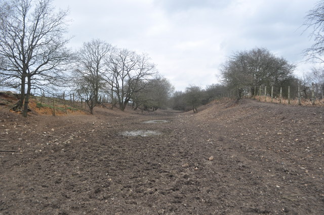
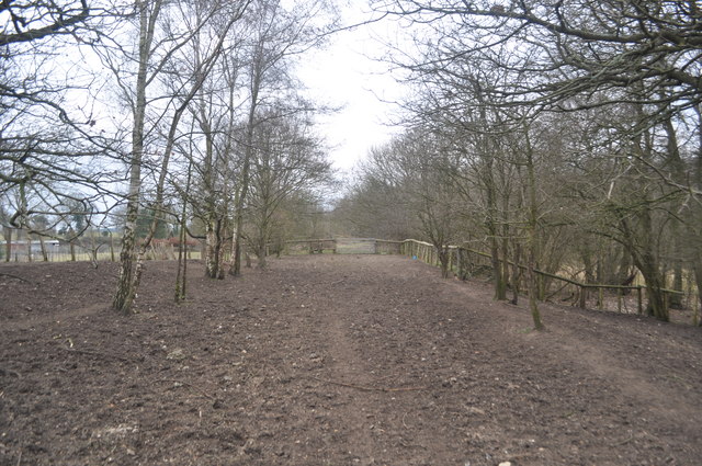
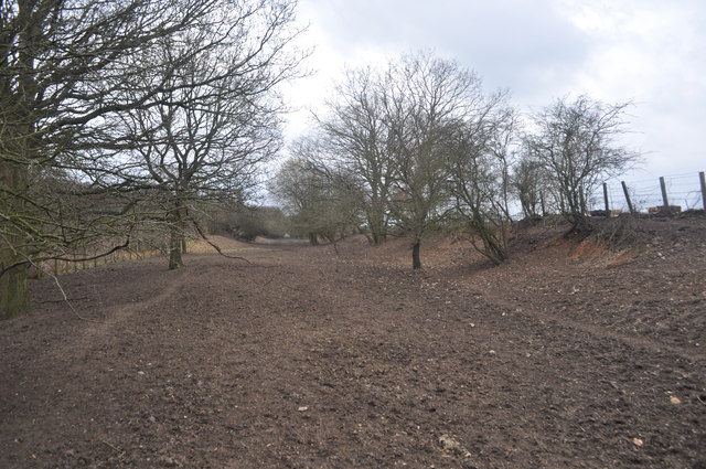
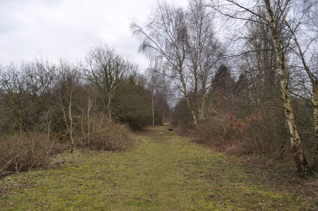
Bintree Images
Images are sourced within 2km of 52.770807/0.963294 or Grid Reference TF9923. Thanks to Geograph Open Source API. All images are credited.


Bintree is located at Grid Ref: TF9923 (Lat: 52.770807, Lng: 0.963294)
Administrative County: Norfolk
District: Breckland
Police Authority: Norfolk
What 3 Words
///fighters.downcast.skyrocket. Near North Elmham, Norfolk
Nearby Locations
Related Wikis
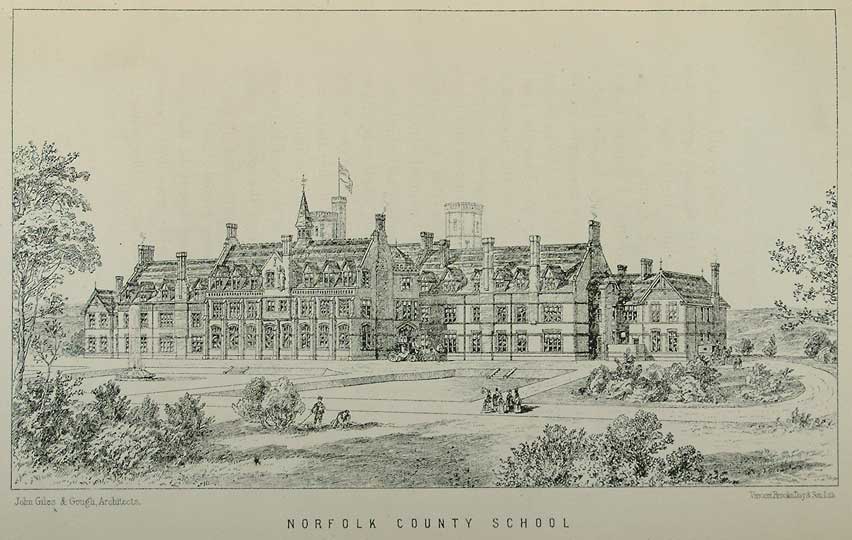
Watts Naval School
Watts Naval School was originally the Norfolk County School, a boarding school set up to serve the educational needs of the 'sons of farmers and artisans...

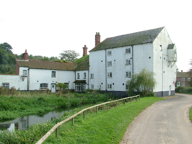
Bintry Watermill
Bintry Watermill is located on the River Wensum, about a mile (2 km) west of the village of Bintree in the English county of Norfolk. The watermill is...

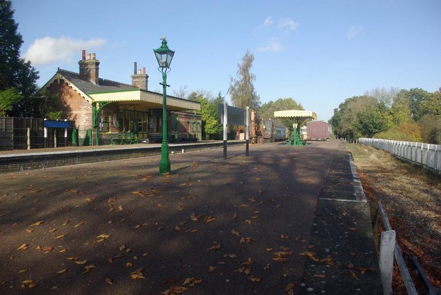
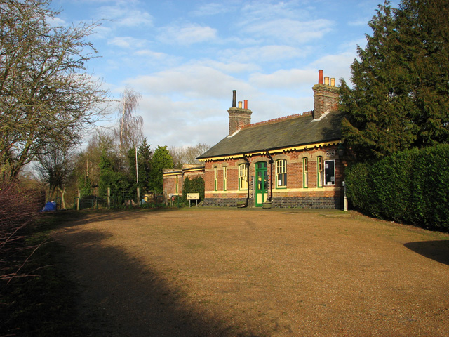
County School railway station
County School railway station is on the Mid-Norfolk Railway in Norfolk, England; it will serve the villages of North Elmham and Guist once services resume...

Fakenham and Dereham Railway Society
The Fakenham and Dereham Railway Society (F&DRS) was a heritage railway society in the English county of Norfolk. For a short period of time it operated...
Bintree
Bintree is a village and civil parish in Norfolk, England, about nine miles (14 km) south-east of Fakenham. According to the 2001 census it had a population...

Twyford, Norfolk
Twyford is a hamlet and civil parish in the English county of Norfolk. It is situated on the A1067 road, some 12 km (7.5 mi) south-east of the town of...

Bexfield
Bexfield is a village near Foulsham in Norfolk, England.
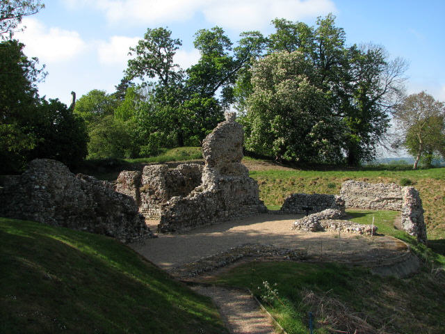
North Elmham Castle
North Elmham Castle, also known as North Elmham Bishops Castle and North Elmham Bishops Chapel, is a ruined castle in the village of North Elmham, in the...
Have you been to Bintree?
Leave your review of Bintree below (or comments, questions and feedback).