Bingley
Civil Parish in Yorkshire Bradford
England
Bingley

Bingley is a civil parish located in the Metropolitan Borough of Bradford, in the county of Yorkshire, England. It is situated in the Aire Valley, on the River Aire, and is approximately 10 miles northwest of Bradford city center. Bingley is surrounded by picturesque countryside, with the Yorkshire Dales to the north and the Brontë Country to the west.
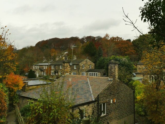
The town of Bingley has a rich history, dating back to at least the 11th century. It was mentioned in the Domesday Book as "Bingheleia" and was a market town in medieval times. Today, Bingley retains its market town character, with a vibrant town center featuring a mix of independent shops, cafes, and restaurants.
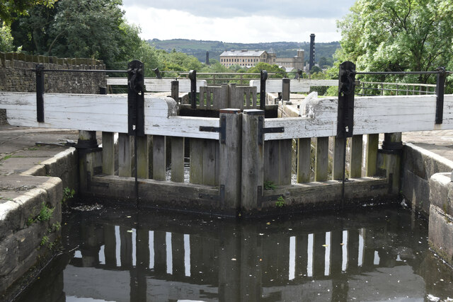
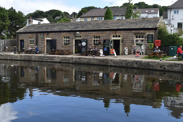
One of the town's most notable landmarks is Bingley Five Rise Locks, a staircase lock on the Leeds and Liverpool Canal. This architectural marvel, built in 1774, is the steepest flight of locks in the UK and attracts many visitors who come to watch boats navigate the system.
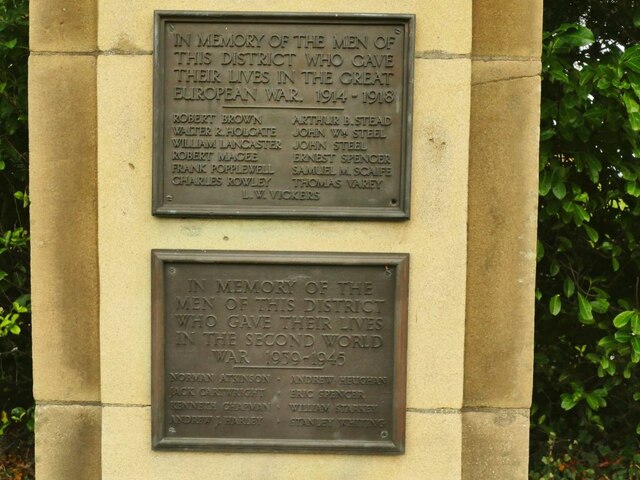
Bingley is also home to several historic buildings, including Bingley Parish Church, St. Ives Estate, and the ruins of Bingley Castle. The town has a strong sense of community, with various local events and festivals held throughout the year, such as the Bingley Music Live festival and the Bingley Show.
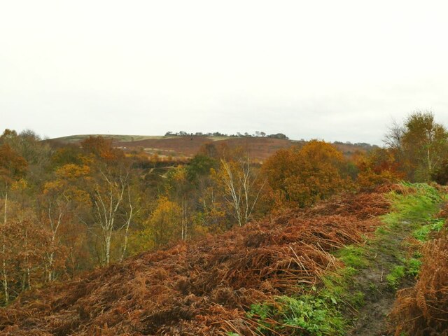
For outdoor enthusiasts, Bingley offers ample opportunities for exploring the surrounding countryside with walking trails, such as the famous St. Ives Estate and Shipley Glen, which provides stunning views over the valley. The area is also popular for cycling, fishing, and golfing.
Overall, Bingley is a charming civil parish that seamlessly blends its rich history with natural beauty, making it an attractive destination for both locals and visitors alike.
If you have any feedback on the listing, please let us know in the comments section below.
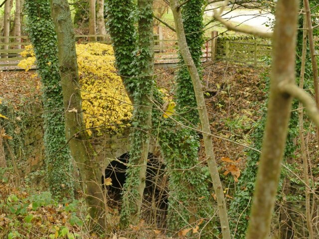
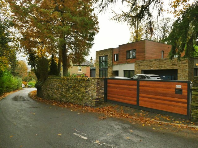
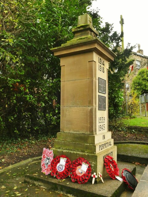
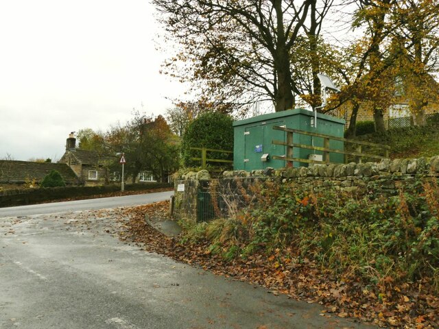
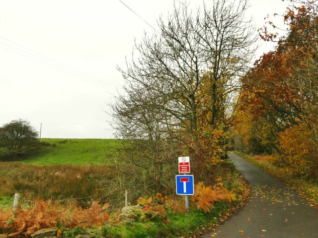
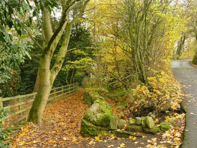
Bingley Images
Images are sourced within 2km of 53.859647/-1.823687 or Grid Reference SE1140. Thanks to Geograph Open Source API. All images are credited.

Bingley is located at Grid Ref: SE1140 (Lat: 53.859647, Lng: -1.823687)
Division: West Riding
Administrative County: West Yorkshire
District: Bradford
Police Authority: West Yorkshire
What 3 Words
///sweeten.regrowth.trucked. Near Bingley, West Yorkshire
Nearby Locations
Related Wikis
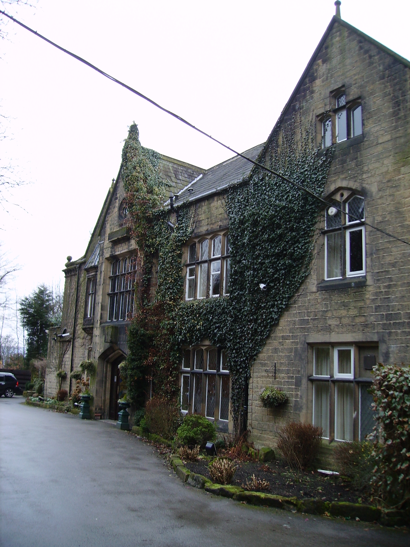
Oakwood Hall
Oakwood Hall, Bingley, West Yorkshire, England is a 19th-century mansion with interior fittings by the Victorian architect William Burges. The hall was...
Eldwick
Eldwick is a small village near Bingley in the City of Bradford district in West Yorkshire. It is split up into two main parts, Eldwick, the main populated...

Bingley Five Rise Locks
Bingley Five-Rise Locks is a staircase lock on the Leeds and Liverpool Canal at Bingley (grid reference SE107399). As the name implies, a boat passing...

Gilstead
Gilstead is a village within the City of Bradford Metropolitan District, West Yorkshire, England. It is situated at the edge of the moors, above the town...

Bingley Three Rise Locks
Bingley Three Rise Locks is a staircase of three locks on the Leeds and Liverpool Canal at Bingley, West Yorkshire, England. The locks are a Grade II...

Bingley (ward)
Bingley (population 13,675 - 2001 UK census, 18,294 at the 2011 Census) is a Ward in Bradford Metropolitan District in the county of West Yorkshire, England...

Crossflatts railway station
Crossflatts railway station serves the Crossflatts area of Bingley, north of Bradford in West Yorkshire, England. The station is on the Airedale Line...

Crossflatts
Crossflatts is a ribbon development in Airedale along the old route of the A650 road between Bingley and Keighley, in the Metropolitan Borough of Bradford...
Nearby Amenities
Located within 500m of 53.859647,-1.823687Have you been to Bingley?
Leave your review of Bingley below (or comments, questions and feedback).