Biddulph
Civil Parish in Staffordshire Staffordshire Moorlands
England
Biddulph
Biddulph is a civil parish located in the county of Staffordshire, England. Situated in the Staffordshire Moorlands district, it lies about 7 miles north of Stoke-on-Trent and about 37 miles south of Manchester. The parish covers an area of approximately 21 square kilometers and has a population of around 19,000 people.
Biddulph is known for its rich history, dating back to the Domesday Book of 1086, where it is mentioned as "Bidlepe." The town grew significantly during the Industrial Revolution, primarily due to the coal mining industry in the area. However, after the decline of the mining industry in the mid-20th century, Biddulph diversified its economy and became a residential area with a range of industries.
The town is characterized by its picturesque landscape, with rolling hills and wooded areas surrounding it. It is also home to several notable landmarks, such as Biddulph Grange Gardens, a National Trust property famous for its Victorian garden design and collection of rare plants. The gardens attract visitors from far and wide, offering a peaceful retreat for nature enthusiasts.
Biddulph has a lively community with various amenities, including schools, shops, and recreational facilities. It also hosts an annual Biddulph Festival, showcasing local talent and providing entertainment for residents and visitors alike.
Overall, Biddulph offers a blend of natural beauty, historical significance, and a thriving community, making it an attractive place to live or visit in Staffordshire.
If you have any feedback on the listing, please let us know in the comments section below.
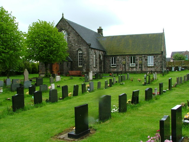
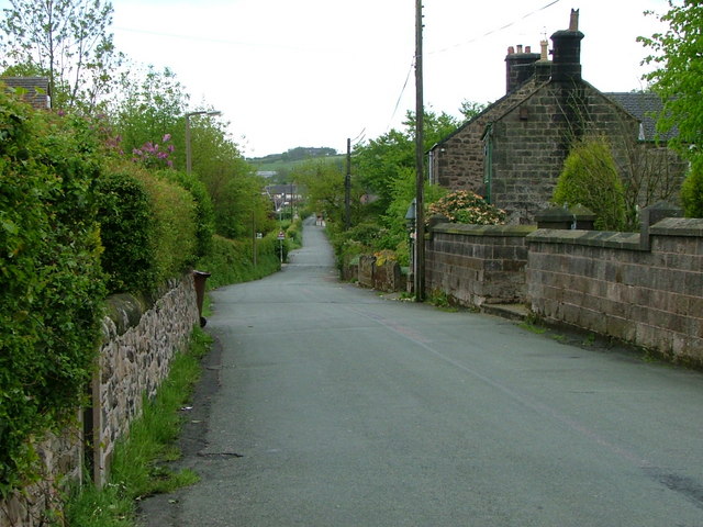
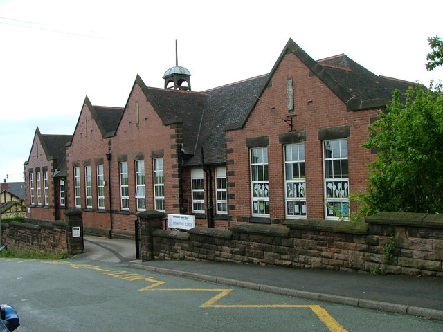
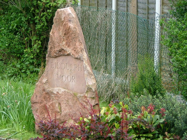
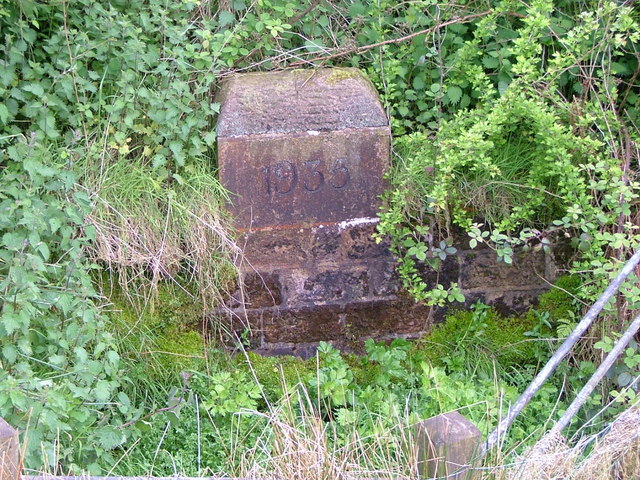
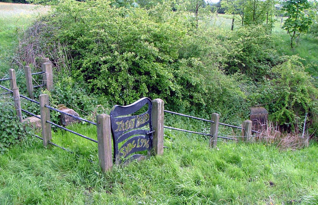
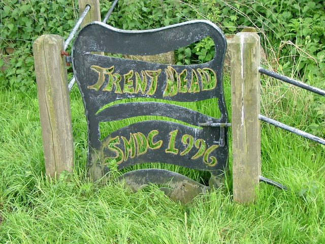
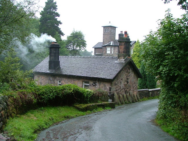
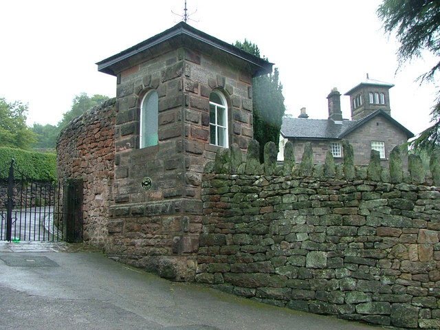
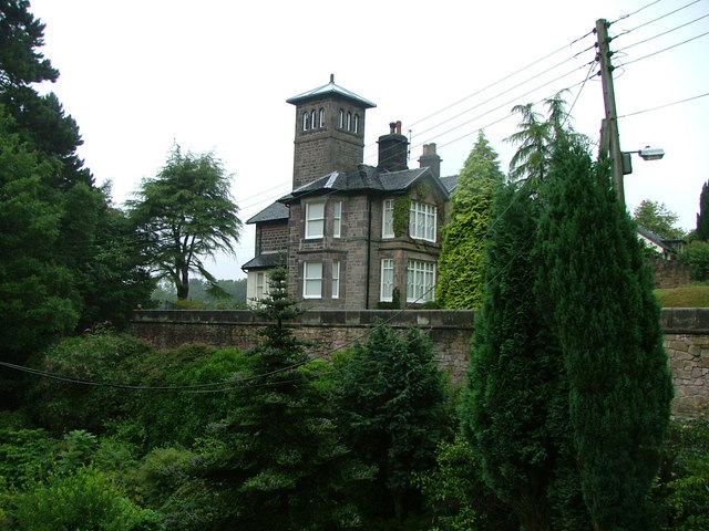
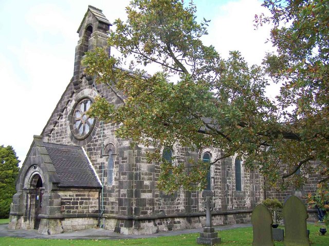
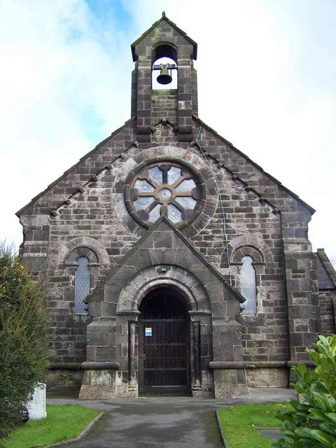
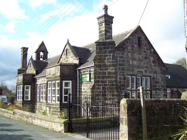
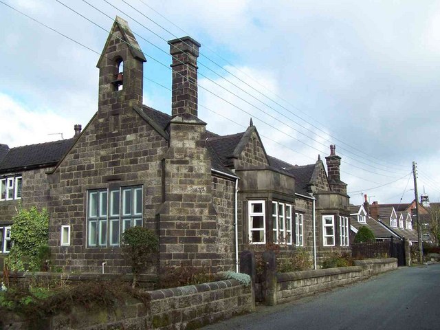
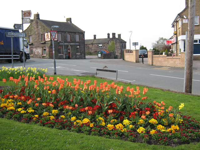
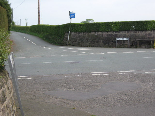
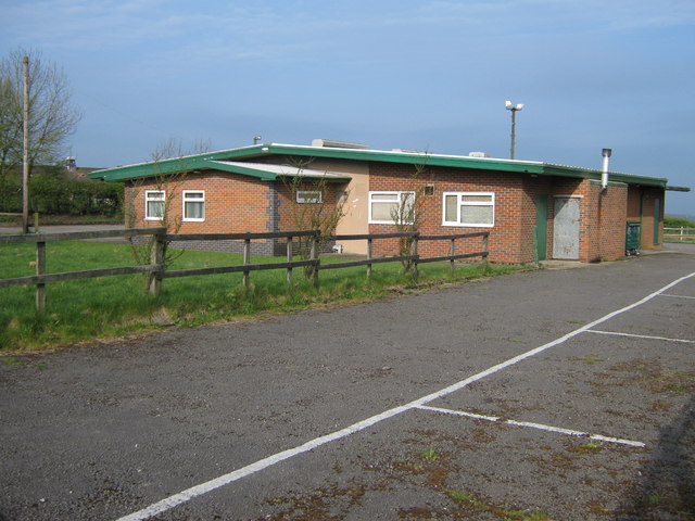
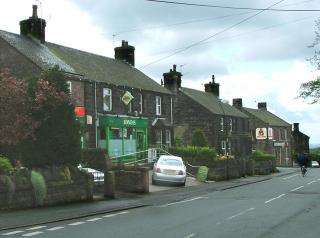
Biddulph Images
Images are sourced within 2km of 53.121549/-2.161856 or Grid Reference SJ8958. Thanks to Geograph Open Source API. All images are credited.

Biddulph is located at Grid Ref: SJ8958 (Lat: 53.121549, Lng: -2.161856)
Administrative County: Staffordshire
District: Staffordshire Moorlands
Police Authority: Staffordshire
What 3 Words
///dusted.wand.nitrogen. Near Biddulph, Staffordshire
Nearby Locations
Related Wikis

Biddulph
Biddulph is a town in Staffordshire, England, 8.5 miles (14 km) north of Stoke-on-Trent and 4.5 miles (7 km) south-east of Congleton, Cheshire. == Origin... ==

Biddulph Grange
Biddulph Grange is a National Trust landscaped garden, in Biddulph near Stoke-on-Trent, Staffordshire, England. It is separate from Biddulph Grange Country...

Biddulph Grange Country Park
Biddulph Grange Country Park is a country park in Biddulph, UK. It was originally part of Biddulph Grange. == Contents == The 73 acres (0.30 km2) park...

Biddulph railway station
Biddulph railway station was a railway station opened by the North Staffordshire Railway in 1864. Originally named Gillow Heath the station was renamed...
Biddulph Moor
Biddulph Moor is a village located on the hill which bears the same name. It is in Biddulph parish and is a part of the Staffordshire Moorlands district...

Braddocks Hay
Braddocks Hay is a village in Staffordshire, England. Population details for the 2011 census can be found under Biddulph
Biddulph High School
Biddulph High School is a mixed upper school (termed 'high school') and sixth form located in the Knypersley area of Biddulph in the English county of...
Knypersley Hall
Knypersley Hall is an 18th-century Georgian style country mansion at Biddulph, Staffordshire, England. It is protected as a Grade II* listed building....
Related Videos
Rain Walk, Knypersley Reservoir and the Warder's Tower, English Countryside 4K
https://www.buymeacoffee.com/Daveswalks All support is hugely appreciated and it helps me keep the channel going! No talking ...

Nature therapy. Fun amongst the Ferns. Summer holiday days out
TheWellnessSpace_ Fun family day out with friends at this beautiful National Trust gem 'Biddulph Grange park'. Wow We joined ...

New Years day walk at Knypersley Reservoir Staffordshire
A lovely sunny new years day walk around the stunning scenery of Knypersley #hoverairx1 #travel #travelvlog #newyearsday ...
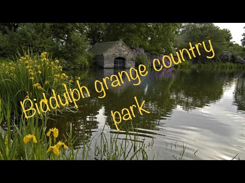
Biddulph Grange Country Park
Join us on a walk around Biddulph Grange country park, a chilly morning after the overnight snow in April 2021.
Nearby Amenities
Located within 500m of 53.121549,-2.161856Have you been to Biddulph?
Leave your review of Biddulph below (or comments, questions and feedback).