Bideford
Civil Parish in Devon Torridge
England
Bideford

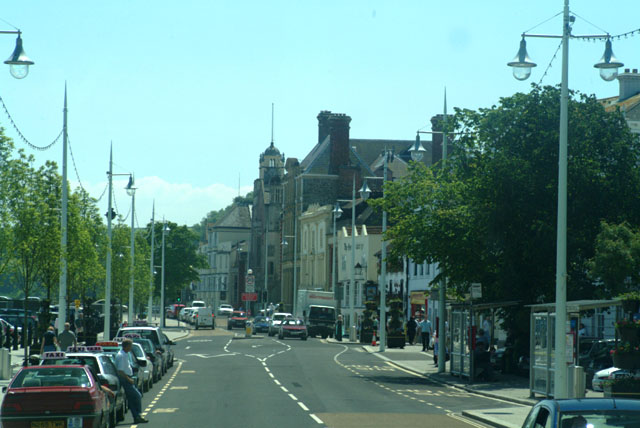
Bideford is a historic town located in the Torridge district of Devon, England. It is situated on the west bank of the River Torridge, approximately 10 miles from the North Devon coast. Bideford is a civil parish and has a population of around 18,000.
The town has a rich history, dating back to the Saxon era. It played a significant role in the maritime trade during the medieval period and was an important port for the export of wool and the import of wine and tobacco. Today, remnants of its maritime past can still be seen in the old quay area, where historic buildings and charming narrow streets create a picturesque scene.
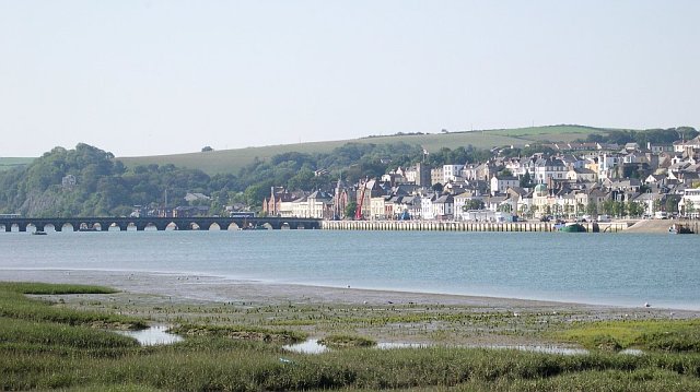
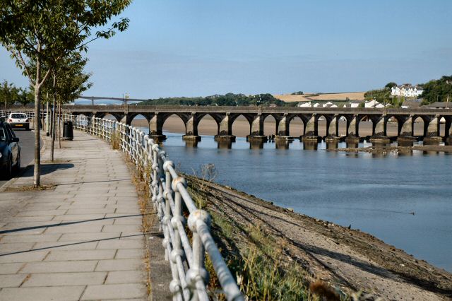
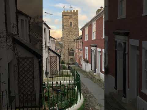
Bideford is known for its iconic bridge, the Bideford Long Bridge, which was built in the 13th century and is one of the oldest surviving bridges in England. The town also boasts several notable landmarks, including the Grade I listed St. Mary's Church, which dates back to the 12th century and features a stunning tower and stained glass windows.
In terms of amenities and services, Bideford offers a wide range of shops, restaurants, and leisure facilities. The town has a vibrant local market, held weekly, where residents and visitors can explore and purchase a variety of goods. Additionally, Bideford is well-connected with good transportation links, including a railway station and regular bus services.
Surrounded by beautiful countryside and close to the North Devon coastline, Bideford is an attractive destination for outdoor enthusiasts. The Tarka Trail, a popular walking and cycling route, passes through the town, offering stunning views of the river and surrounding countryside.
Overall, Bideford is a charming and historic town with a strong sense of community, offering a blend of history, natural beauty, and modern amenities.
If you have any feedback on the listing, please let us know in the comments section below.
Bideford Images
Images are sourced within 2km of 51.009249/-4.1997 or Grid Reference SS4525. Thanks to Geograph Open Source API. All images are credited.


Bideford is located at Grid Ref: SS4525 (Lat: 51.009249, Lng: -4.1997)
Administrative County: Devon
District: Torridge
Police Authority: Devon & Cornwall
What 3 Words
///magnum.passion.segmented. Near Bideford, Devon
Nearby Locations
Related Wikis

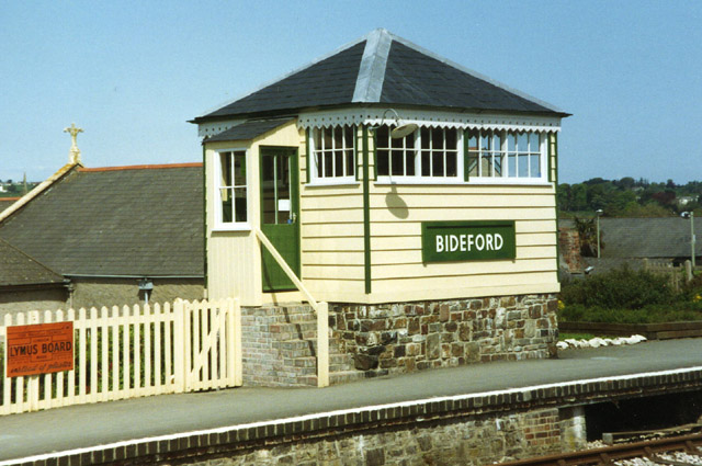
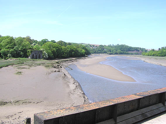
Bideford railway station
The first Bideford railway station was opened on 2 November 1855 as the terminus of the Bideford Extension Railway from Barnstaple. This was taken over...
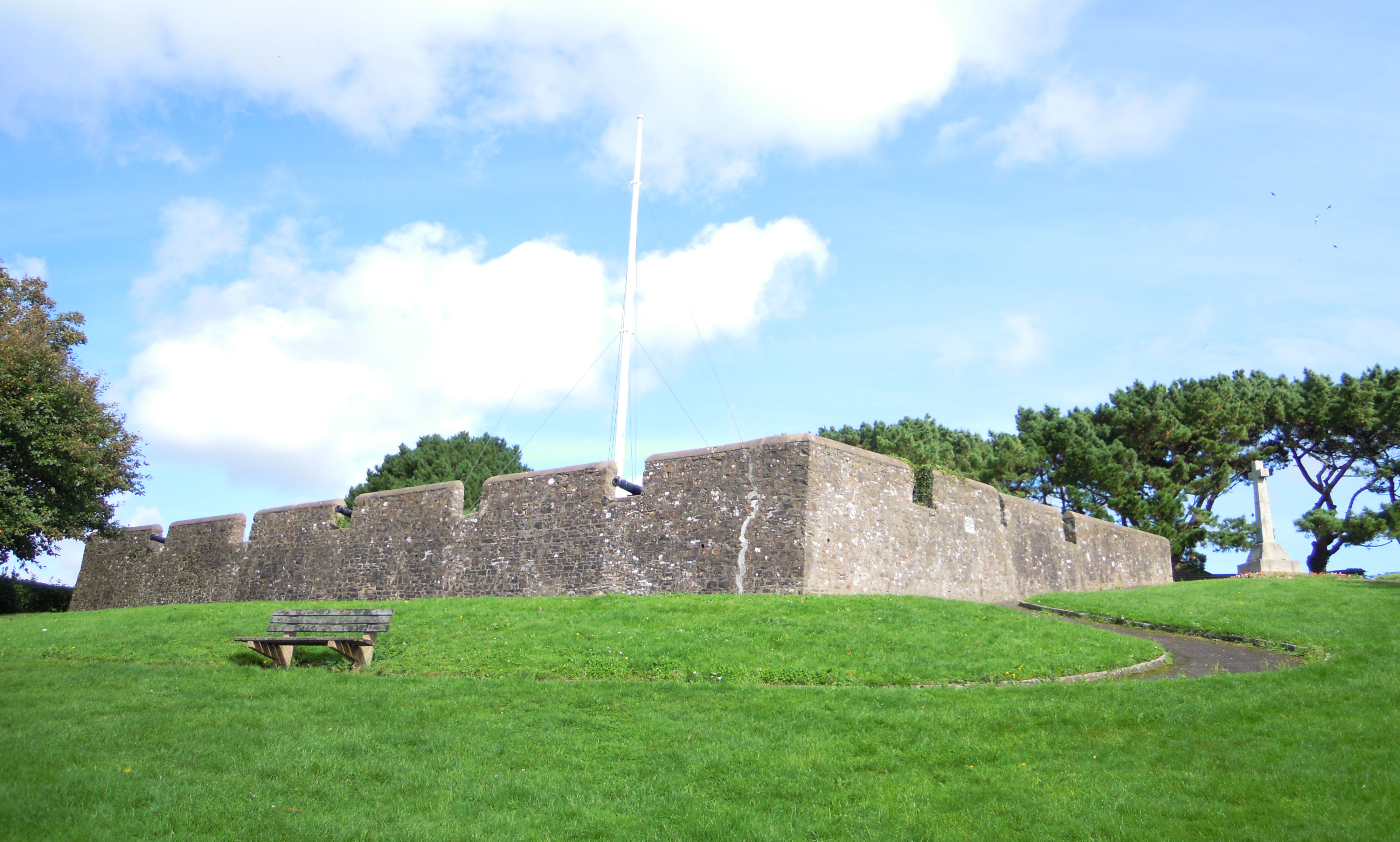
Chudleigh Fort
Chudleigh Fort is an ornamental fort in East-the-Water, a suburb of Bideford in Devon in the UK. The site was originally an actual 17th-century earthwork...

Bideford Long Bridge
Bideford Long Bridge in North Devon spans the River Torridge near its estuary and connects the old part of the town, and formerly important river port...

Church of St Mary, Bideford
The Church of St Mary is the Anglican parish church for the town of Bideford in Devon, England. Built in 1865, it replaces a Norman church of 1260. The...

Bideford Town Hall
Bideford Town Hall is a municipal building at the corner of Bridge Street and New Road in Bideford, Devon, England. The building, which is the meeting...

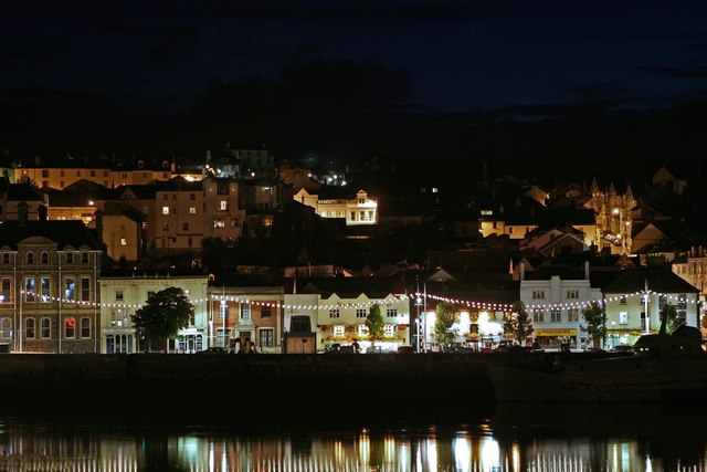
Bideford
Bideford ( BID-ə-fərd) is a historic port town on the estuary of the River Torridge in north Devon, south-west England. It is the main town of the Torridge...
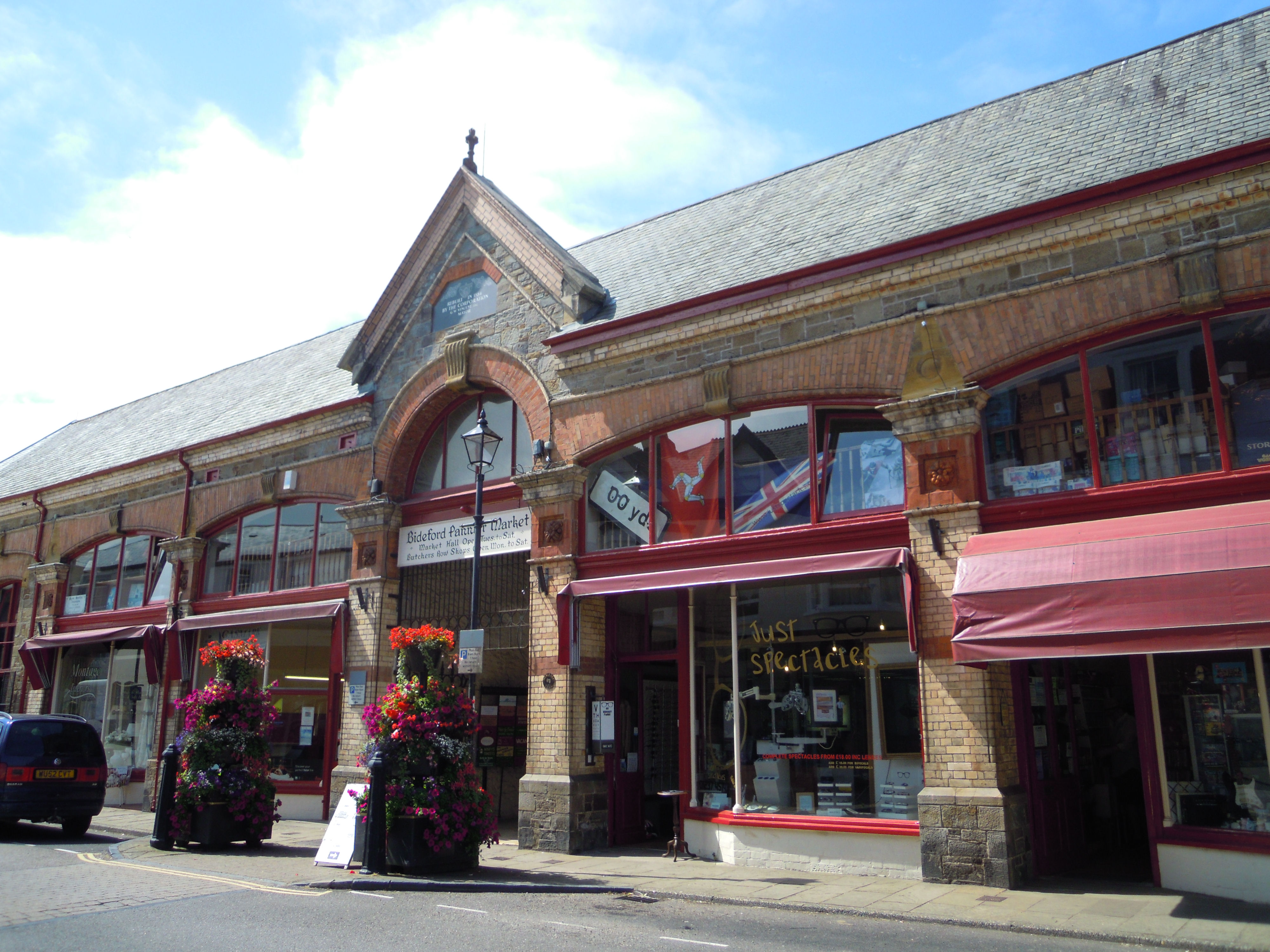
Pannier Market, Bideford
The Pannier Market in Bideford in North Devon is a large covered Victorian pannier market together with the Butcher's Row of small artisan stalls running...

Torridge Hospital
Torridge Hospital was a health facility in Meddon Street, Bideford, Devon, England. It has been converted into apartments and remains a Grade II listed...
Related Videos

Bideford Bay Park Dean Holiday Park Your Gateway to Coastal Bliss walk tour
Hey, Welcome to Tripwiththeskeldons Embark on a serene journey through the breathtaking landscapes of Parkdean Bideford ...


Our first Winter adventure this year with friends.
Wet and slippery adventure at the Fishing Village. Didn't expect how far to walk down and even hard to walk back up to 39 floors ...
Nearby Amenities
Located within 500m of 51.009249,-4.1997Have you been to Bideford?
Leave your review of Bideford below (or comments, questions and feedback).