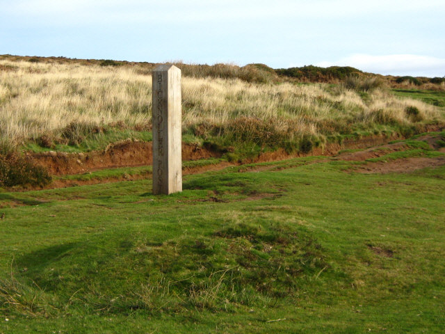
Bicknoller
Civil Parish in Somerset Somerset West and Taunton
England
Bicknoller
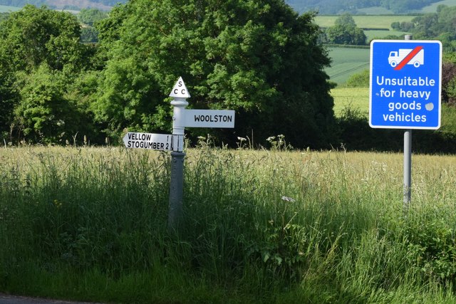
Bicknoller is a civil parish located in the county of Somerset, England. It is situated in the West Somerset district, approximately 6 miles west of the town of Taunton. The parish covers an area of around 8 square miles and is bordered by the Quantock Hills, which form part of the designated Area of Outstanding Natural Beauty.
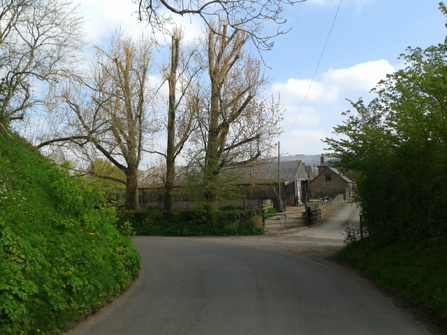
The village of Bicknoller is the main settlement within the parish and is home to a small population of around 400 residents. The village itself is characterized by its picturesque charm, with a mix of period cottages, thatched roofs, and traditional stone buildings. It retains a strong sense of community, with a village hall and a local pub providing gathering spaces for residents.
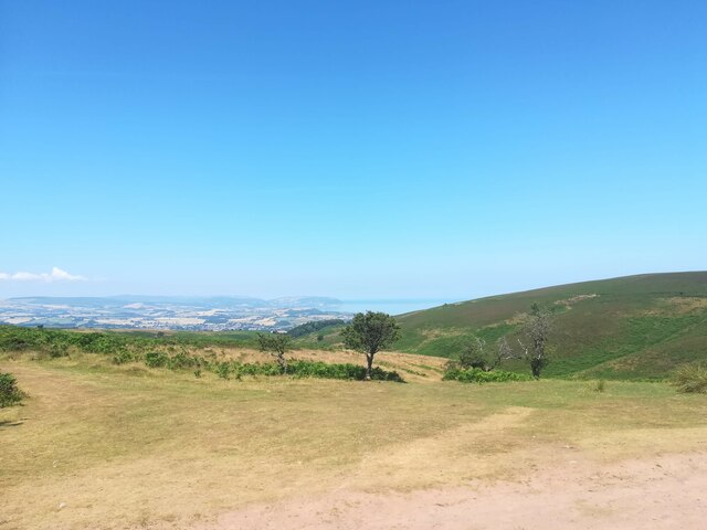
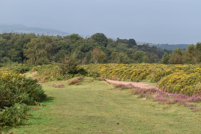
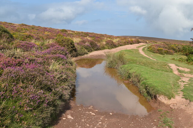
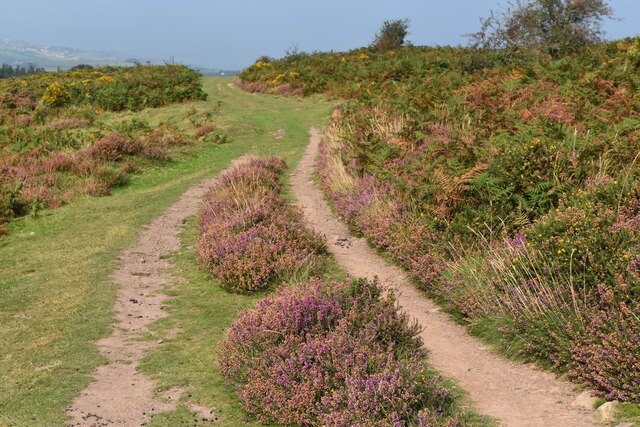
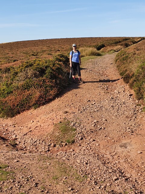
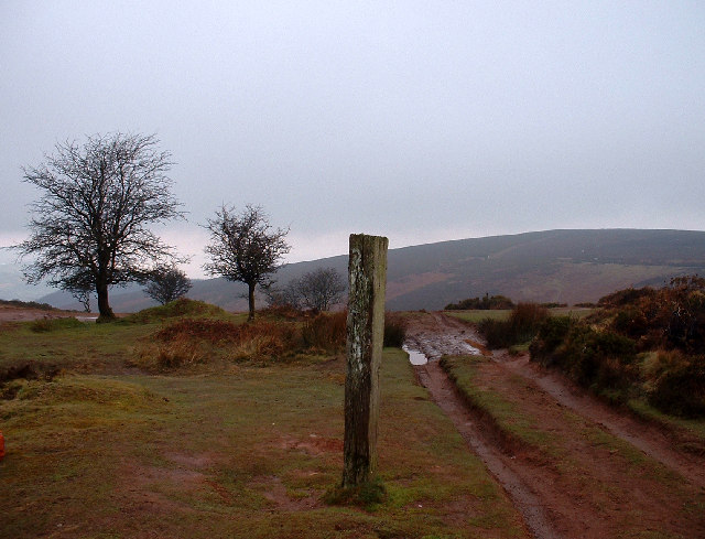
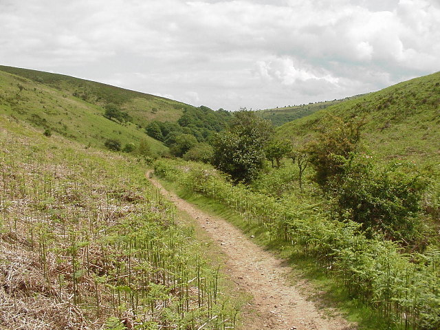
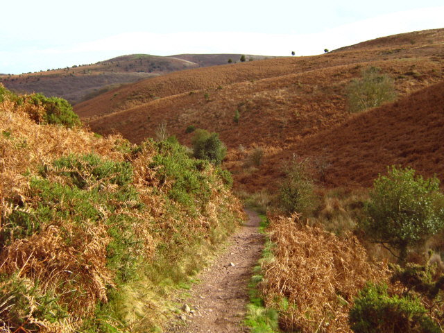
The surrounding countryside offers stunning views and ample opportunities for outdoor activities, such as walking, hiking, and cycling. The Quantock Hills, which cover a significant portion of the parish, provide a diverse landscape of rolling hills, woodlands, and open moorland. This attracts visitors from near and far who come to explore the area's natural beauty.
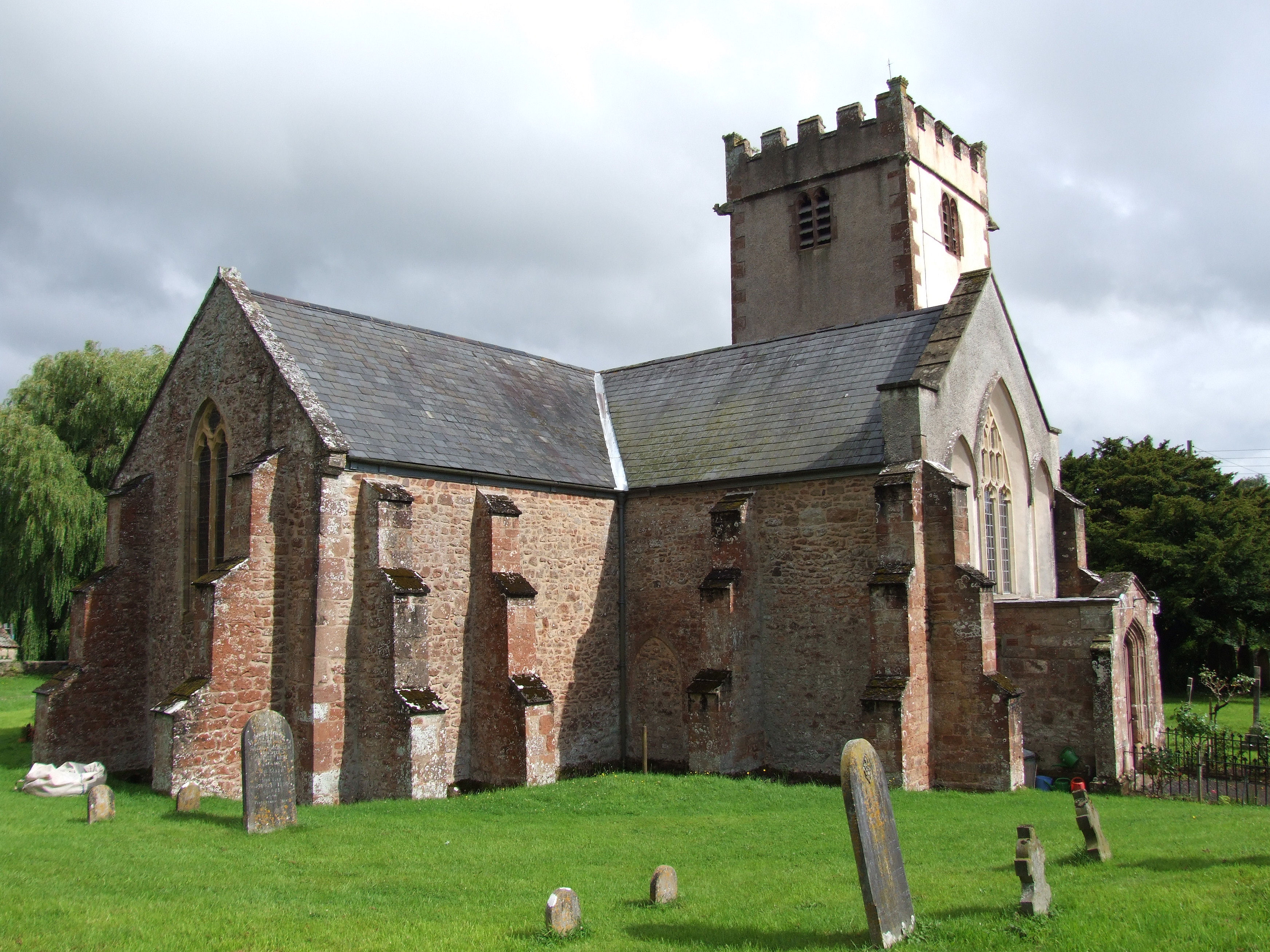
Bicknoller also has historical significance, with the Church of St. George being a notable landmark. Dating back to the 14th century, it features a distinctive tower and is a Grade II listed building. The church serves as a hub for the local community and hosts regular services and events.
Overall, Bicknoller offers a peaceful and rural setting, combining natural beauty with a strong sense of community, making it an attractive place to live or visit for those seeking a tranquil escape in the heart of Somerset.
If you have any feedback on the listing, please let us know in the comments section below.
Bicknoller Images
Images are sourced within 2km of 51.143404/-3.263569 or Grid Reference ST1139. Thanks to Geograph Open Source API. All images are credited.


Bicknoller is located at Grid Ref: ST1139 (Lat: 51.143404, Lng: -3.263569)
Administrative County: Somerset
District: Somerset West and Taunton
Police Authority: Avon and Somerset
What 3 Words
///fever.denote.notch. Near Williton, Somerset
Nearby Locations
Related Wikis
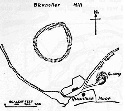
Trendle Ring
Trendle Ring (or Trundle Ring) is a late prehistoric earthwork on the Quantock Hills near Bicknoller in Somerset, England. It is a Scheduled Monument....

Bicknoller
Bicknoller is a village and civil parish on the western slopes of the Quantock Hills in the English county of Somerset. Administratively, the civil parish...

Halsway Manor
Halsway Manor (also known as Halsway Court) is a manor house in Halsway, Somerset. It is owned by the Halsway Manor Society who operate the manor as a...

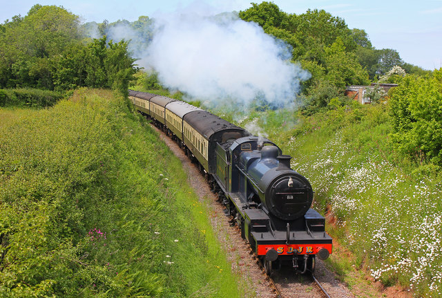
Stogumber railway station
Stogumber railway station is a station in Kingswood, Somerset, England which serves the nearby village of Stogumber. It was opened by the West Somerset...

Quantock Hills
The Quantock Hills west of Bridgwater in Somerset, England, consist of heathland, oak woodlands, ancient parklands and agricultural land. They were England...

Curdon Camp
Curdon Camp is a univallate Iron Age hill fort in the West Somerset district of Somerset, England. It is a Scheduled Ancient Monument.The hill fort is...

Stogumber
Stogumber () is a village and civil parish in Somerset, England, on the eastern flank of the Brendon Hills. Besides Stogumber village itself, the parish...
Church of St George, Sampford Brett
The Anglican Church of St George in Sampford Brett, Somerset, England was built around 1300. It is a Grade II* listed building. == History == The parish...
Nearby Amenities
Located within 500m of 51.143404,-3.263569Have you been to Bicknoller?
Leave your review of Bicknoller below (or comments, questions and feedback).