Bicknor
Civil Parish in Kent Maidstone
England
Bicknor
Bicknor is a civil parish located in the county of Kent, in southeastern England. Situated in the district of Maidstone, Bicknor spans an area of approximately 4 square kilometers and is home to a small population of around 250 residents.
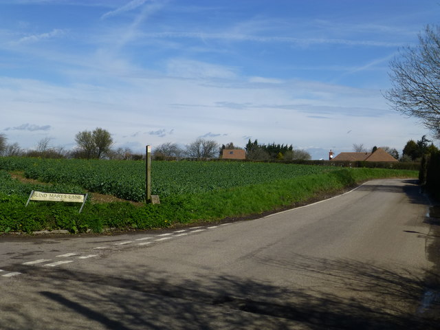
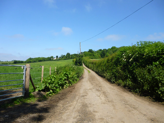
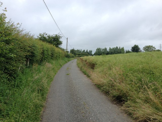
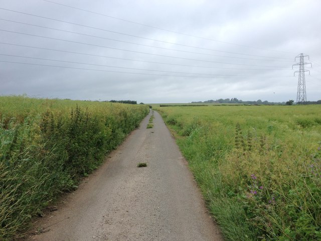
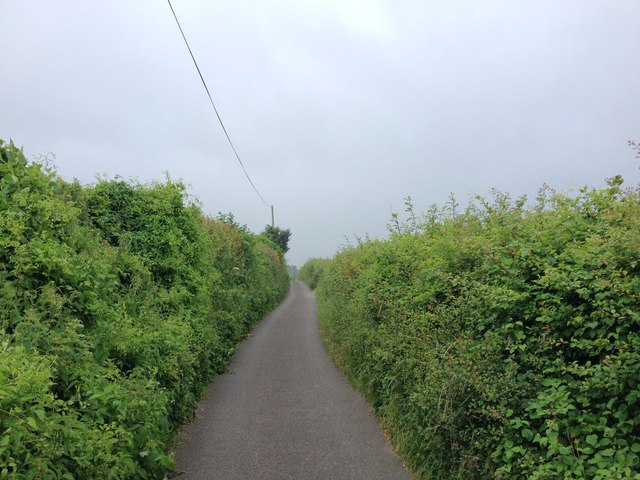
The parish is situated near the River Medway and is surrounded by picturesque countryside, making it an attractive location for those seeking a peaceful and rural setting. The landscape is characterized by rolling hills, farmland, and patches of woodland, providing ample opportunities for outdoor activities and scenic walks.
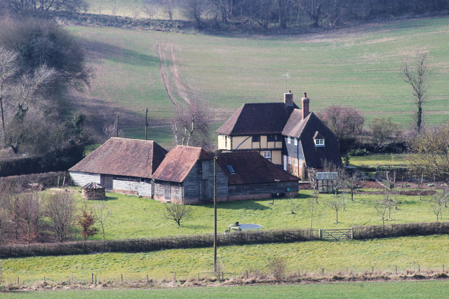
Bicknor is known for its rich history, with evidence of human habitation in the area dating back to the Bronze Age. The parish is home to several historic buildings, including the Grade I listed Bicknor Court, a manor house that dates back to the 14th century. Additionally, the parish church of St. James the Great is a notable feature, with parts of the building dating back to the 12th century.
Despite its small size, Bicknor is well-connected to the surrounding areas. The parish is situated close to the A20 road, providing easy access to nearby towns and cities. The city of Maidstone is approximately 11 kilometers away, offering a range of amenities and services.
Overall, Bicknor is a charming and historic civil parish, offering a tranquil setting and a strong sense of community for its residents.
If you have any feedback on the listing, please let us know in the comments section below.
Bicknor Images
Images are sourced within 2km of 51.296265/0.666343 or Grid Reference TQ8558. Thanks to Geograph Open Source API. All images are credited.


Bicknor is located at Grid Ref: TQ8558 (Lat: 51.296265, Lng: 0.666343)
Administrative County: Kent
District: Maidstone
Police Authority: Kent
What 3 Words
///gasp.clinic.movements. Near Harrietsham, Kent
Nearby Locations
Related Wikis

Bicknor
Bicknor is a village and civil parish in the Maidstone district of Kent, England, north-east of Maidstone and south-west of Sittingbourne. It had a population...
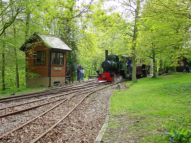
Bredgar and Wormshill Light Railway
The Bredgar and Wormshill Light Railway (BWLR) is located near the villages of Wormshill and Bredgar in Kent, just south of Sittingbourne. It is a 2 ft...

Hucking
Hucking is a small hamlet and civil parish in the Maidstone District of Kent, England. It is located 4 miles (6.4 km) north-east of Maidstone and 5 miles...

Bedmonton
Bedmonton or Bedmanton is a hamlet situated about five miles (8 km) on a minor road between the B2163 road and Wormshill to the south of Sittingbourne...

Wormshill
Wormshill ( wurmz-HIL), historically Wormsell, is a small village and civil parish within the Borough of Maidstone, Kent, England. The parish is approximately...
St Giles Church, Wormshill
St Giles Church is the sole church in the village of Wormshill in Kent. The church is Anglican and is dedicated to Saint Giles. It forms part of the united...

Stockbury
Stockbury is a village and civil parish in the Maidstone district of Kent, England. The population of the civil parish at the Census 2011 was 691.In 1800...

Bredgar Hoard
The Bredgar Hoard is a Roman coin hoard found in Bredgar, Kent in 1957. It consisted of 34 gold aurei, the latest of which were from 41 to 42 AD. The coins...
Nearby Amenities
Located within 500m of 51.296265,0.666343Have you been to Bicknor?
Leave your review of Bicknor below (or comments, questions and feedback).