Besselsleigh

Civil Parish in Berkshire Vale of White Horse

England

Besselsleigh

St. Lawrence, Besselsleigh: late July 2021
St. Lawrence, Besselsleigh: late July 2021 Credit: Basher Eyre

Besselsleigh is a small civil parish located in the county of Berkshire, England. Situated approximately 5 miles southwest of the town of Abingdon, Besselsleigh covers an area of around 2 square miles and is home to a population of around 200 residents.

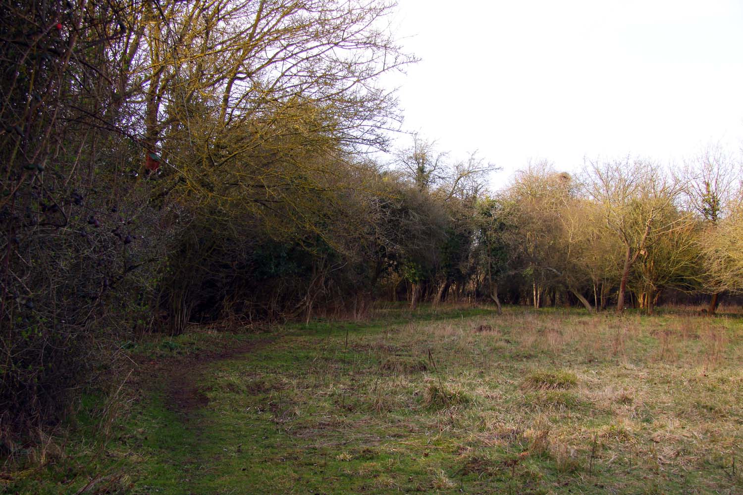
The parish is primarily a rural area, characterized by its picturesque countryside and rolling hills. Besselsleigh is known for its scenic beauty, with vast expanses of farmlands, wooded areas, and meadows surrounding the village. This makes it an ideal location for walks and outdoor activities, attracting nature enthusiasts and visitors seeking tranquility.

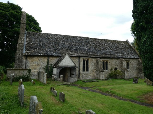
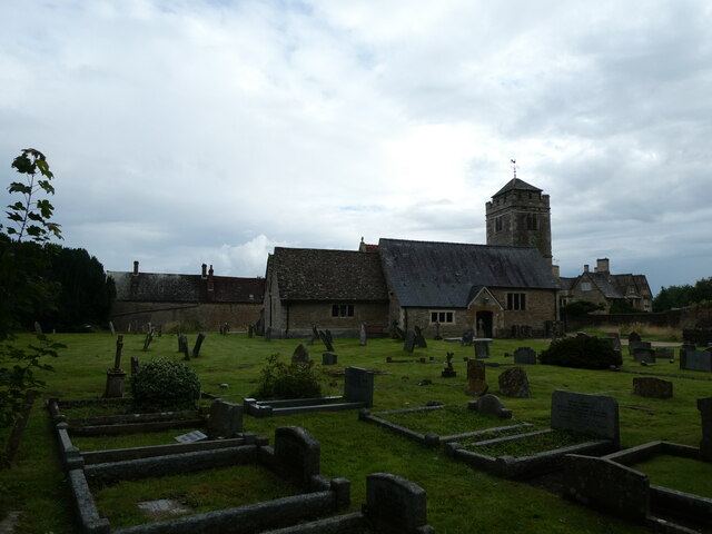
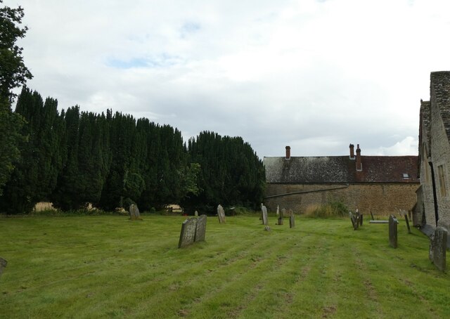
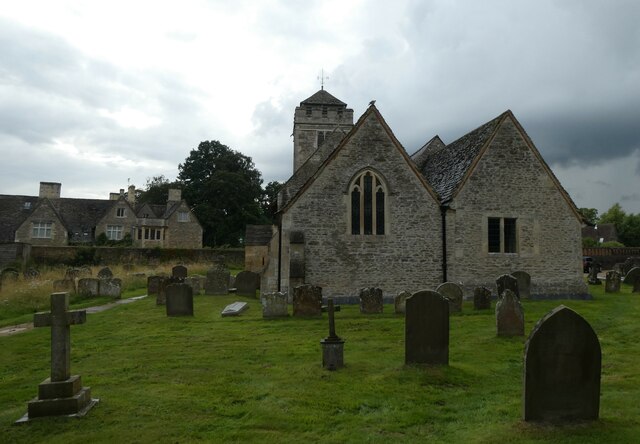
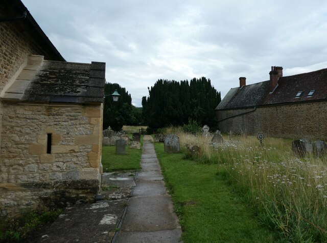
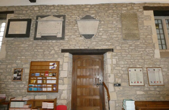
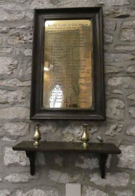
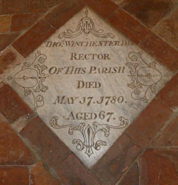
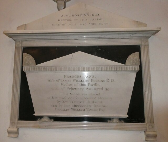
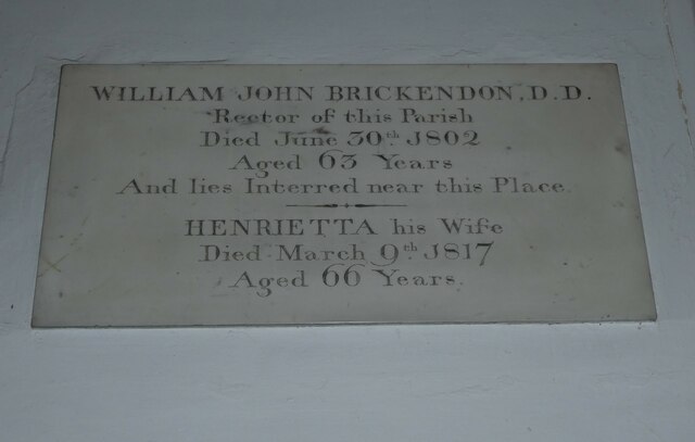
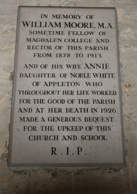
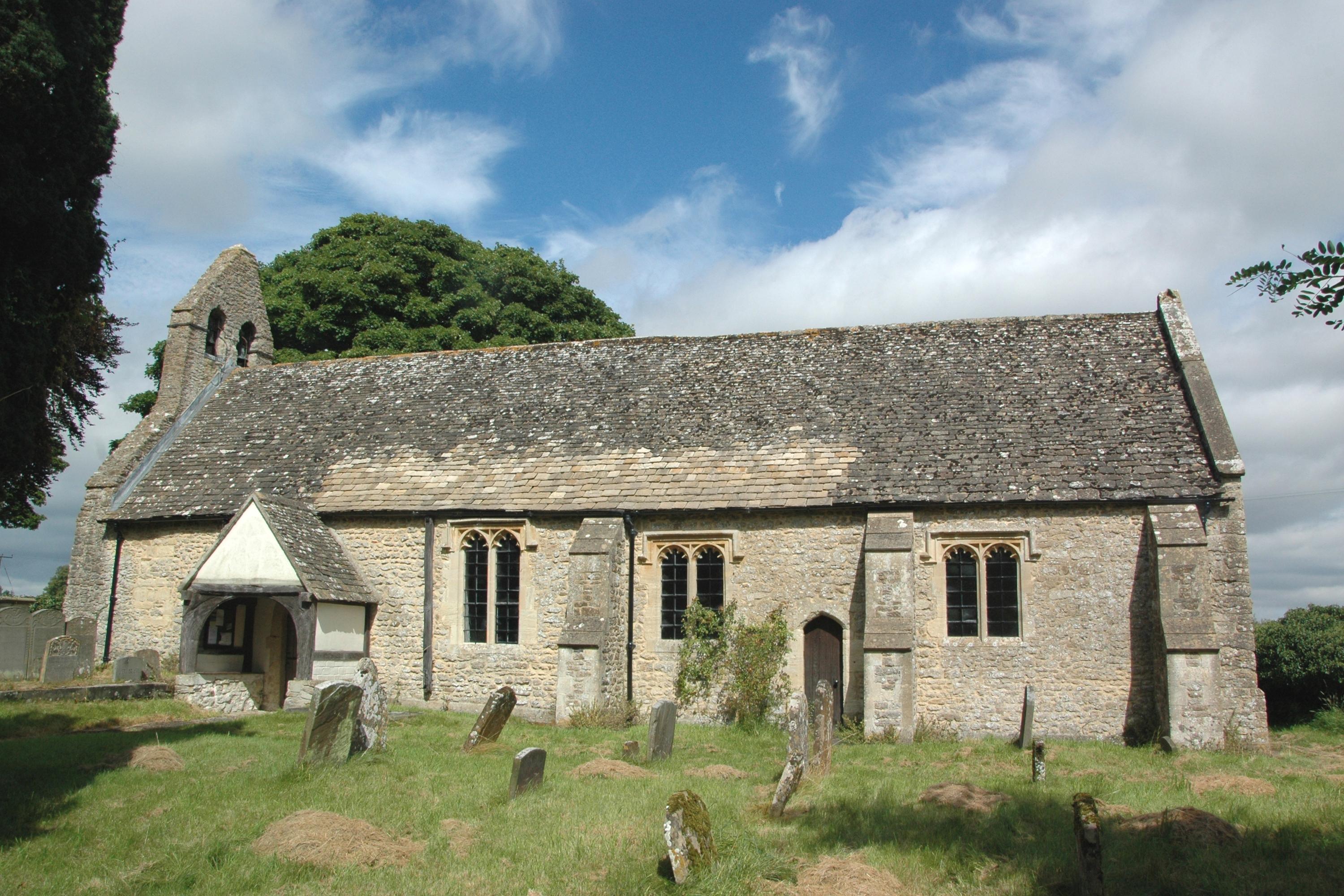
The village itself consists of a small cluster of houses, forming a tight-knit community. It is renowned for its quaint and charming atmosphere, with many of the buildings displaying traditional architectural styles. The historic St. Lawrence Church, dating back to the 12th century, is a prominent landmark in Besselsleigh and holds regular services for the local community.

Despite its small size, Besselsleigh has its own village hall, which serves as a hub for various community events and gatherings. The parish also benefits from its proximity to larger towns such as Abingdon and Oxford, which offer a range of amenities and services to its residents.

Overall, Besselsleigh offers a peaceful and idyllic countryside setting, making it an attractive place to live for those seeking a rural lifestyle while still having access to nearby towns and cities.

If you have any feedback on the listing, please let us know in the comments section below.

Besselsleigh Images

Images are sourced within 2km of 51.708515/-1.347541 or Grid Reference SP4501. Thanks to Geograph Open Source API. All images are credited.

St. Lawrence, Besselsleigh: late July 2021
St Helen, Dry Sandford: war memorial Many war memorials appeared in British towns and cities after the South African War of 1899-1902 (known popularly as the Boer War), but most were constructed after the First World War, known to contemporaries as the Great War (1914-19). These were updated after the Second World War (1939-45), usually by adding a plaque with the names of those killed in that conflict. Almost every town and village in Britain has a memorial erected after the Great War, the commonest types taking the form of a cross, an obelisk or a statue of a soldier. Some occupy a prominent public space; others stand in the local cemetery or can be found inside the local church. Memorials usually commemorate the inhabitants of a particular locality, the former pupils of a school, or the members of a military unit or branch of the armed forces. Other memorials, often bronze plaques placed indoors, commemorate the employees of a private company or public institution.
St Helen, Dry Sandford: war memorial
Many war memorials appeared in British towns and cities after the South African War of 1899-1902 (known popularly as the Boer War), but most were constructed after the First World War, known to contemporaries as the Great War (1914-19). These were updated after the Second World War (1939-45), usually by adding a plaque with the names of those killed in that conflict. Almost every town and village in Britain has a memorial erected after the Great War, the commonest types taking the form of a cross, an obelisk or a statue of a soldier. Some occupy a prominent public space; others stand in the local cemetery or can be found inside the local church. Memorials usually commemorate the inhabitants of a particular locality, the former pupils of a school, or the members of a military unit or branch of the armed forces. Other memorials, often bronze plaques placed indoors, commemorate the employees of a private company or public institution.
St Lawrence, Appleton: late July 2021
St Lawrence, Appleton: churchyard (a)
St Lawrence, Appleton: churchyard (b)
St Lawrence, Appleton: churchyard (c)
St Lawrence, Appleton: churchyard (d)
St Lawrence, Appleton: churchyard (e)
St Lawrence, Appleton: memorial (i)
St Lawrence, Appleton: memorial (iii)
St Lawrence, Appleton: memorial (iv)
St Lawrence, Appleton: memorial (v)
St Lawrence, Appleton: memorial (vi)
St Lawrence, Appleton: memorial (vii)
St Lawrence, Appleton: memorial (viii)
St Lawrence, Appleton: memorial (ix)
St Lawrence, Appleton: memorial (x)
Show me another place!

Besselsleigh is located at Grid Ref: SP4501 (Lat: 51.708515, Lng: -1.347541)

Administrative County: Oxfordshire

District: Vale of White Horse

Police Authority: Thames Valley

What 3 Words

///cheek.jelly.correctly. Near Marcham, Oxfordshire

Related Wikis

Besselsleigh

Besselsleigh or Bessels Leigh is an English village and civil parish about 4+1⁄2 miles (7 km) southwest of Oxford. Besselsleigh was part of Berkshire until...

Parklands Campus

Parklands Campus was an independent Non-Maintained residential special school for boys and girls aged 11 to 19, near Abingdon, Oxfordshire, England. It...

Appleton, Oxfordshire

Appleton is a village in the civil parish of Appleton-with-Eaton, about 4 miles (6.4 km) northwest of Abingdon. Appleton was part of Berkshire until the...

Appleton-with-Eaton

Appleton-with-Eaton is a civil parish in the Vale of White Horse district of Oxfordshire, England, south west of Oxford. Historically it was part of Berkshire...

Cothill Fen

Cothill Fen is a 43.3-hectare (107-acre) biological and geological Site of Special Scientific Interest north-west of Abingdon-on-Thames in Oxfordshire...

Dry Sandford

Dry Sandford is a village in the Vale of White Horse district of England, about 3 miles (5 km) north-west of Abingdon. It is one of two villages in the...

Lashford Lane Fen

Lashford Lane Fen is a 7-hectare (17-acre) nature reserve north of Dry Sandford in Oxfordshire. It is managed by the Berkshire, Buckinghamshire and Oxfordshire...

Parsonage Moor

Parsonage Moor is a 6-hectare (15-acre) nature reserve north-west of Abingdon-on-Thames in Oxfordshire, United Kingdom. It is managed by the Berkshire...

Nearby Amenities

Located within 500m of 51.708515,-1.347541
Bus Stop
Parklands Manor
Bus: yes
Local Ref: NE-Bound
Naptan AtcoCode: 340003224CNR
Naptan Bearing: NE
Naptan CommonName: Bessels Leigh School
Naptan Indicator: Turn Corner
Naptan Landmark: Church
Naptan NaptanCode: oxfawmjg
Naptan Street: A420
Naptan Verified: no
Public Transport: platform
Source: naptan_import
Lat/Long: 51.7051363/-1.3434772
Crossing
Crossing: unmarked
Lat/Long: 51.7050874/-1.3434997
Crossing
Crossing: unmarked
Lat/Long: 51.7050619/-1.3433643
Crossing
Crossing: unmarked
Lat/Long: 51.7049367/-1.3433904
The data included in this document is from www.openstreetmap.org. The data is made available under ODbL.

Have you been to Besselsleigh?

Leave your review of Besselsleigh below (or comments, questions and feedback).