Bessels Leigh

Settlement in Berkshire Vale of White Horse

England

Bessels Leigh

Plaque dedicating bus shelter to Selby Tiptaft Cornish Inscription:
This shelter is erected in loving memory of Selby Tiptaft Cornish who was killed climbing on Ben Nevis July 9th 1948
The gift of God is eternal life through Jesus Christ our Lord
Romans 6:23
Plaque dedicating bus shelter to Selby Tiptaft Cornish Credit: Ross T

Bessels Leigh is a picturesque village located in the county of Berkshire, England. Situated approximately 5 miles west of the historic city of Oxford, Bessels Leigh is a small, tight-knit community with a population of around 400 residents.

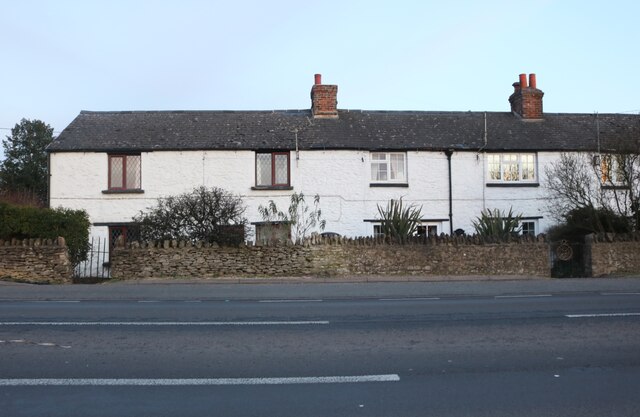
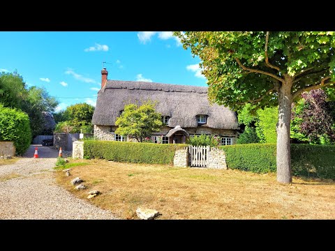
The village is known for its peaceful and rural atmosphere, surrounded by beautiful countryside and rolling green hills. It offers a tranquil escape from the hustle and bustle of nearby urban areas. Bessels Leigh is characterized by its quaint and charming cottages, many of which date back several centuries, adding to the village's timeless appeal.

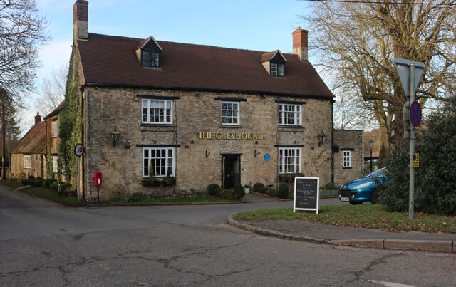
Despite its small size, Bessels Leigh has a strong sense of community. The village hosts various social events throughout the year, including summer fairs and community gatherings, providing residents with opportunities to come together and enjoy each other's company. The local primary school plays an essential role in the community, serving as an educational hub for the village's children.

Nature lovers will find plenty to explore in and around Bessels Leigh. Nearby amenities include numerous walking and cycling routes, allowing visitors to experience the area's natural beauty firsthand. Additionally, the village is within close proximity to several nature reserves and parks, providing opportunities for outdoor activities and wildlife observation.

Overall, Bessels Leigh offers a peaceful and idyllic lifestyle, while still providing convenient access to nearby urban areas and amenities. Its picturesque charm, strong community spirit, and proximity to nature make it an appealing place to reside or visit for those seeking a slower pace of life.

If you have any feedback on the listing, please let us know in the comments section below.

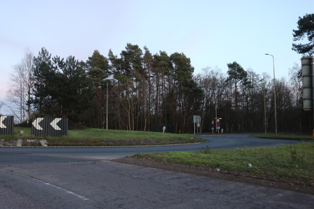
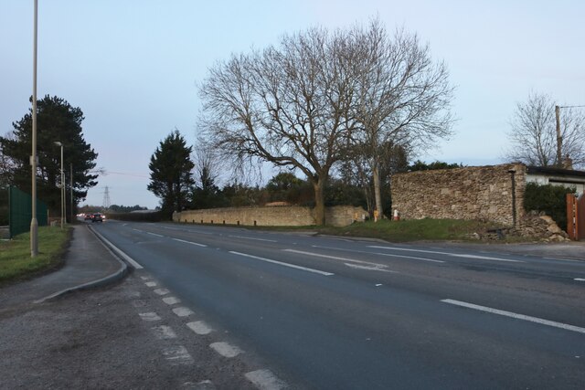
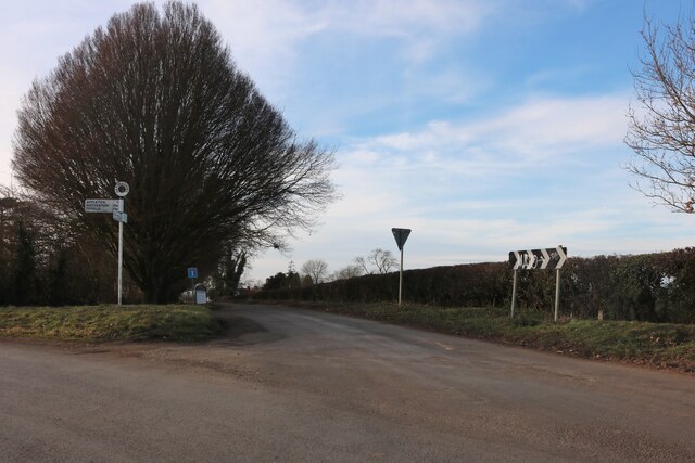
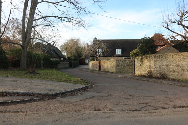
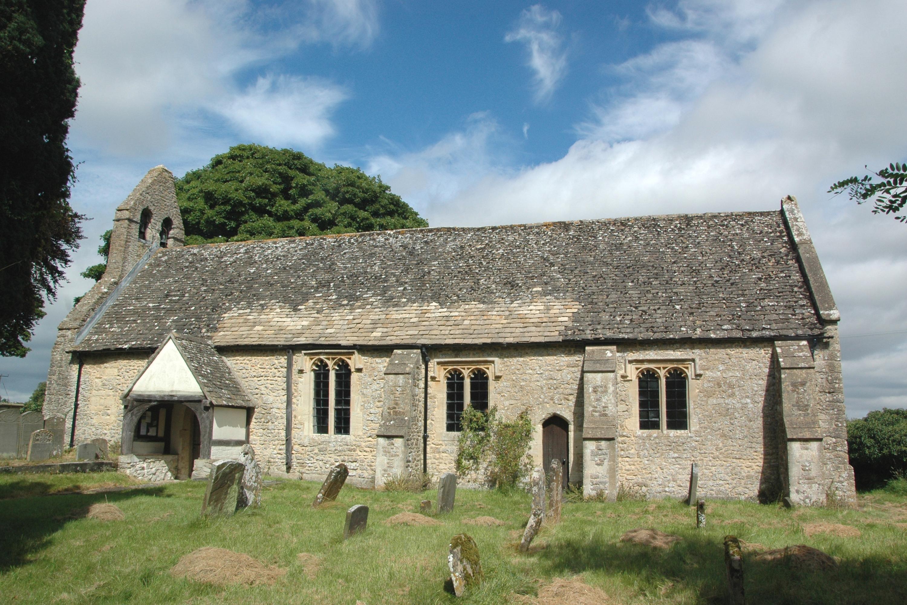
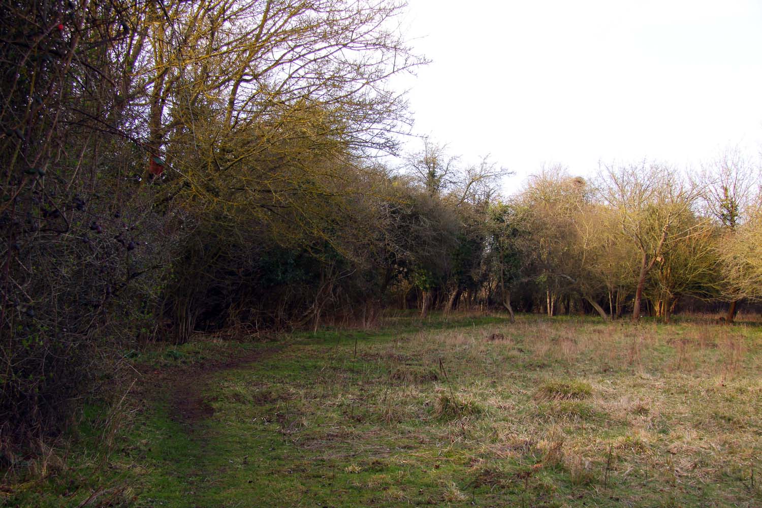
Bessels Leigh Images

Images are sourced within 2km of 51.714557/-1.339507 or Grid Reference SP4501. Thanks to Geograph Open Source API. All images are credited.

Plaque dedicating bus shelter to Selby Tiptaft Cornish Inscription:
This shelter is erected in loving memory of Selby Tiptaft Cornish who was killed climbing on Ben Nevis July 9th 1948
The gift of God is eternal life through Jesus Christ our Lord
Romans 6:23
Plaque dedicating bus shelter to Selby Tiptaft Cornish
Inscription: This shelter is erected in loving memory of Selby Tiptaft Cornish who was killed climbing on Ben Nevis July 9th 1948 The gift of God is eternal life through Jesus Christ our Lord Romans 6:23
Tubney Wood Roundabout near Appleton
Rockley Cottages on Faringdon Road, Bessels Leigh
Faringdon Road, Bessels Leigh
The Bystander, Wootton
The Greyhound pub, Bessels Leigh I've been here before. <a title="https://www.geograph.org.uk/photo/6234724" href="https://www.geograph.org.uk/photo/6234724">Link</a>
The Greyhound pub, Bessels Leigh
I've been here before. Link
The road from Bessels Leigh to Eaton
Junction on Eaton Road Eaton is on Bablock Hyde Road on the right which stops at the Thames.
Junction on Eaton Road
Eaton is on Bablock Hyde Road on the right which stops at the Thames.
Field entrance by Eaton Road
Appleton Christmas Barn This is an activity centre for parties and events.
Appleton Christmas Barn
This is an activity centre for parties and events.
Row of cottages on Eaton Road, Appleton
Church Road, Appleton
Church Road at the junction of Eaton Road
Whites Forge, Appleton
Pond in Appleton
Pond in Appleton
Lamborough Hill, Wootton
Houses on Lashford Lane, Dry Sandford
Show me another place!

Bessels Leigh is located at Grid Ref: SP4501 (Lat: 51.714557, Lng: -1.339507)

Administrative County: Oxfordshire

District: Vale of White Horse

Police Authority: Thames Valley

What 3 Words

///soak.briefer.salaried. Near Marcham, Oxfordshire

Related Wikis

Besselsleigh

Besselsleigh or Bessels Leigh is an English village and civil parish about 4+1⁄2 miles (7 km) southwest of Oxford. Besselsleigh was part of Berkshire until...

Parklands Campus

Parklands Campus was an independent Non-Maintained residential special school for boys and girls aged 11 to 19, near Abingdon, Oxfordshire, England. It...

Lashford Lane Fen

Lashford Lane Fen is a 7-hectare (17-acre) nature reserve north of Dry Sandford in Oxfordshire. It is managed by the Berkshire, Buckinghamshire and Oxfordshire...

Appleton-with-Eaton

Appleton-with-Eaton is a civil parish in the Vale of White Horse district of Oxfordshire, England, south west of Oxford. Historically it was part of Berkshire...

Related Videos

Discover the Beauty of CUMNOR : a Picturesque English Village WALK - English Countryside

Cumnor, a village, a township, and a parish, in Berks. The village stands on the brow of a hill. St Michael's Church, parts of which ...

Jarn mound and Boars Hill. ground level and drone, photos at the end.

End of August (bank holiday Monday) 2019. A bit a few weeks later as well. Got nicer higher footage. Not had the Hubsan drone 4 ...

Incredible opportunity Oxford! Offers over £1.1m.90% complete! Damion Merry Luxury Property Partners

A beautiful 4/5 bedroom family home in Cumnor, Oxford. #oxford #oxfordshire #uk #oxforduniversity #london #england ...

Nearby Amenities

Located within 500m of 51.714557,-1.339507
Pub
The Greyhound
Source: photograph
Lat/Long: 51.7130855/-1.3358562
Post Box
Operator: Royal Mail
Post Box Type: lamp
Ref: OX13 1330
Royal Cypher: EIIR
Royal Cypher Wikidata: Q33102113
Source: photograph;drive-by survey
Lat/Long: 51.7129475/-1.3359098
Bessels Leigh
Alt Name: Besselsleigh
Place: village
Source: OS_OpenData_StreetView
Wikidata: Q2616462
Wikipedia: en:Besselsleigh
Lat/Long: 51.713206/-1.3365244
Bus Stop
Greyhound PH
Bus: yes
Local Ref: opp
Naptan AtcoCode: 340000092GI
Naptan Bearing: SW
Naptan BusStopType: CUS
Naptan CommonName: Greyhound PH
Naptan Indicator: Opposite
Naptan Landmark: Greyhound PH
Naptan NaptanCode: oxfamptp
Naptan Street: A420
Naptan Verified: no
Public Transport: platform
Source: naptan_import
Lat/Long: 51.7122516/-1.3360068
Bus Stop
Greyhound PH
Bus: yes
Local Ref: o/s
Naptan AtcoCode: 340000092GO
Naptan Bearing: NE
Naptan BusStopType: CUS
Naptan CommonName: Greyhound PH
Naptan Indicator: Outside
Naptan Landmark: Greyhound PH
Naptan NaptanCode: oxfawmjp
Naptan Street: A420
Naptan Verified: no
Public Transport: platform
Source: naptan_import
Lat/Long: 51.7134603/-1.3346519
Crossing
Crossing: unmarked
Crossing Island: yes
Lat/Long: 51.7123123/-1.3360851
Power: pole
Source: Bing
Lat/Long: 51.7187222/-1.3369987
Power: pole
Source: Bing
Lat/Long: 51.7180918/-1.3383644
Power: pole
Source: Bing
Lat/Long: 51.7166893/-1.3448661
Power: pole
Source: Bing
Lat/Long: 51.7170499/-1.3432273
Power: pole
Source: Bing
Lat/Long: 51.7177828/-1.3399845
Power: pole
Source: Bing
Lat/Long: 51.7174039/-1.3416233
Power: pole
Lat/Long: 51.7173145/-1.344069
Power: pole
Lat/Long: 51.717361/-1.3431168
Power: pole
Lat/Long: 51.7176452/-1.3413117
Barrier: kissing_gate
Lat/Long: 51.7174798/-1.3365796
Power: pole
Lat/Long: 51.7178646/-1.3404178
Power: pole
Lat/Long: 51.7180982/-1.3395064
Power: pole
Lat/Long: 51.718301/-1.3387136
Power: pole
Lat/Long: 51.7184983/-1.3379032
Power: pole
Lat/Long: 51.7186268/-1.3374129
The data included in this document is from www.openstreetmap.org. The data is made available under ODbL.

Have you been to Bessels Leigh?

Leave your review of Bessels Leigh below (or comments, questions and feedback).