Besthorpe

Civil Parish in Norfolk Breckland

England

Besthorpe

The A11 west passing under Silver Street bridge, Wymondham
The A11 west passing under Silver Street bridge, Wymondham Credit: Roy Hughes

Besthorpe is a civil parish located in the county of Norfolk, England. Situated approximately 6 miles southeast of the town of Attleborough, it covers an area of around 5.7 square miles and has a population of approximately 1,200 residents.

The parish is predominantly rural, characterized by open fields, farmland, and small pockets of woodland. It is traversed by several minor roads, providing access to neighboring villages and towns. The River Tas flows through the northern part of the parish, adding to its natural beauty and providing opportunities for recreational activities such as fishing and boating.

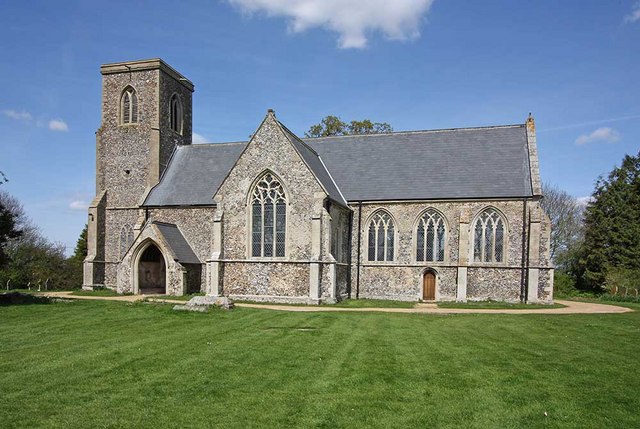
Besthorpe is home to a number of historic buildings, including St. Bartholomew's Church, a Grade I listed building dating back to the 14th century. The church features a prominent tower and a beautiful stained glass window.

The village has a close-knit community and offers a range of amenities to its residents. These include a village hall, a primary school, and a pub, providing a focal point for social gatherings. The surrounding countryside offers ample opportunities for outdoor pursuits such as walking, cycling, and horse riding.

Besthorpe is well-connected to nearby towns and cities, with regular bus services providing links to Attleborough and Norwich. The village enjoys a peaceful and picturesque setting, making it an attractive place to live for those seeking a rural lifestyle with easy access to urban amenities.

If you have any feedback on the listing, please let us know in the comments section below.
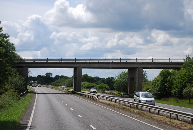
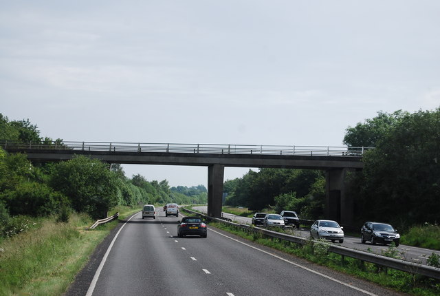
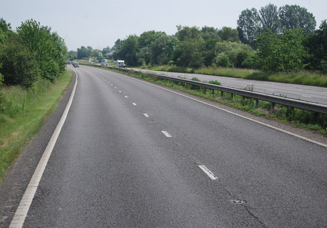
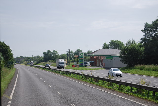
Besthorpe Images

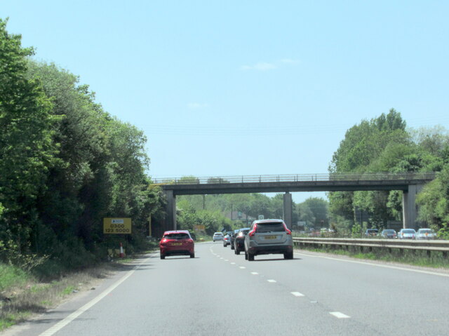
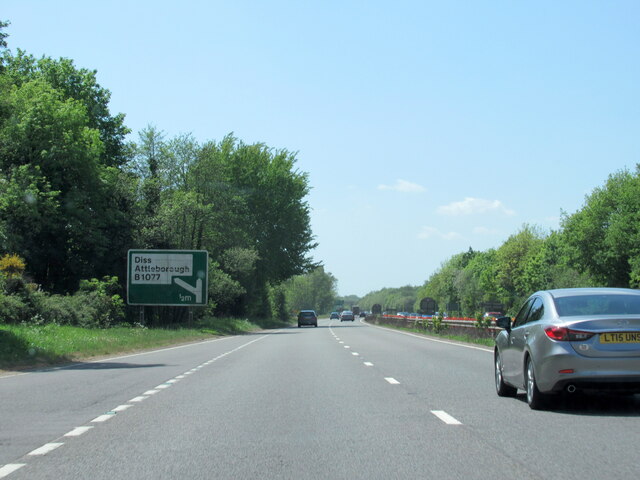
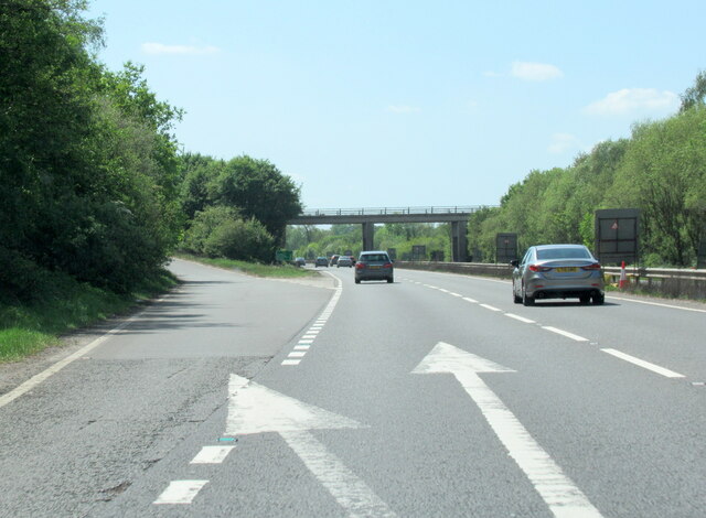
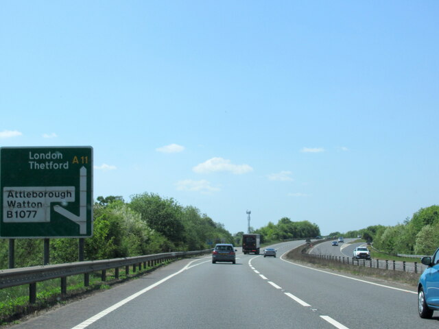
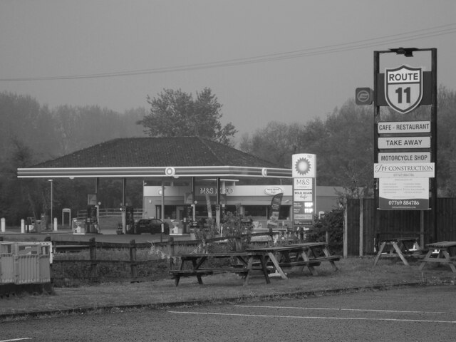
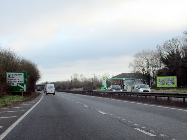
Images are sourced within 2km of 52.520965/1.061306 or Grid Reference TM0795. Thanks to Geograph Open Source API. All images are credited.

The A11 west passing under Silver Street bridge, Wymondham
The A11 west at Diss B1077 half a mile sign
The A11 west exit for the B1077 Attleborough
The A11 west at slip road for B1077
Study of a Gasoline Station BP, Besthorpe.

 This photograph is part of a series taken in homage to the American artist Ed Ruscha's 1963 publication of 'Twentysix Gasoline Stations'.
 More properly known as filling stations in the UK, I am attempting to photograph as many as possible to mark the sixty year anniversary.
Study of a Gasoline Station
BP, Besthorpe. This photograph is part of a series taken in homage to the American artist Ed Ruscha's 1963 publication of 'Twentysix Gasoline Stations'. More properly known as filling stations in the UK, I am attempting to photograph as many as possible to mark the sixty year anniversary.
Study of a Gasoline Station Shell, A11 Attleborough Bypass.

 This photograph is part of a series taken in homage to the American artist Ed Ruscha's 1963 publication of 'Twentysix Gasoline Stations'.
 More properly known as filling stations in the UK, I am attempting to photograph as many as possible to mark the sixty year anniversary.
Study of a Gasoline Station
Shell, A11 Attleborough Bypass. This photograph is part of a series taken in homage to the American artist Ed Ruscha's 1963 publication of 'Twentysix Gasoline Stations'. More properly known as filling stations in the UK, I am attempting to photograph as many as possible to mark the sixty year anniversary.
The A11 eastbound, services one third of a mile
The A11 eastbound
The A11 eastbound
Norwich Rd Bridge (B1077), A11 The A11 is a major road in Eastern England. It runs roughly north east for 111 miles from London to Norwich, With the M11 opening in the 1970s and then the A12 extension in 1999, a lengthy section has been downgraded between the suburbs of east London and the north-west corner of the county of Essex. It also overlaps with the A14 on the Newmarket bypass.
<span class="nowrap"><a title="http://www.sabre-roads.org.uk/wiki/index.php?title=A11" rel="nofollow ugc noopener" href="http://www.sabre-roads.org.uk/wiki/index.php?title=A11">Link</a><img style="margin-left:2px;" alt="External link" title="External link - shift click to open in new window" src="https://s1.geograph.org.uk/img/external.png" width="10" height="10"/></span>
Norwich Rd Bridge (B1077), A11
The A11 is a major road in Eastern England. It runs roughly north east for 111 miles from London to Norwich, With the M11 opening in the 1970s and then the A12 extension in 1999, a lengthy section has been downgraded between the suburbs of east London and the north-west corner of the county of Essex. It also overlaps with the A14 on the Newmarket bypass. LinkExternal link
Filling station by the A11 Part of a service area.
Filling station by the A11
Part of a service area.
Silver Street Bridge, A11 The A11 is a major road in Eastern England. It runs roughly north east for 111 miles from London to Norwich, With the M11 opening in the 1970s and then the A12 extension in 1999, a lengthy section has been downgraded between the suburbs of east London and the north-west corner of the county of Essex. It also overlaps with the A14 on the Newmarket bypass.
<span class="nowrap"><a title="http://www.sabre-roads.org.uk/wiki/index.php?title=A11" rel="nofollow ugc noopener" href="http://www.sabre-roads.org.uk/wiki/index.php?title=A11">Link</a><img style="margin-left:2px;" alt="External link" title="External link - shift click to open in new window" src="https://s1.geograph.org.uk/img/external.png" width="10" height="10"/></span>
Silver Street Bridge, A11
The A11 is a major road in Eastern England. It runs roughly north east for 111 miles from London to Norwich, With the M11 opening in the 1970s and then the A12 extension in 1999, a lengthy section has been downgraded between the suburbs of east London and the north-west corner of the county of Essex. It also overlaps with the A14 on the Newmarket bypass. LinkExternal link
Slip road onto the A11 The A11 is a major road in Eastern England. It runs roughly north east for 111 miles from London to Norwich, With the M11 opening in the 1970s and then the A12 extension in 1999, a lengthy section has been downgraded between the suburbs of east London and the north-west corner of the county of Essex. It also overlaps with the A14 on the Newmarket bypass.
<span class="nowrap"><a title="http://www.sabre-roads.org.uk/wiki/index.php?title=A11" rel="nofollow ugc noopener" href="http://www.sabre-roads.org.uk/wiki/index.php?title=A11">Link</a><img style="margin-left:2px;" alt="External link" title="External link - shift click to open in new window" src="https://s1.geograph.org.uk/img/external.png" width="10" height="10"/></span>
Slip road onto the A11
The A11 is a major road in Eastern England. It runs roughly north east for 111 miles from London to Norwich, With the M11 opening in the 1970s and then the A12 extension in 1999, a lengthy section has been downgraded between the suburbs of east London and the north-west corner of the county of Essex. It also overlaps with the A14 on the Newmarket bypass. LinkExternal link
Silver Street Bridge, A11 The A11 is a major road in Eastern England. It runs roughly north east for 111 miles from London to Norwich, With the M11 opening in the 1970s and then the A12 extension in 1999, a lengthy section has been downgraded between the suburbs of east London and the north-west corner of the county of Essex. It also overlaps with the A14 on the Newmarket bypass.
<span class="nowrap"><a title="http://www.sabre-roads.org.uk/wiki/index.php?title=A11" rel="nofollow ugc noopener" href="http://www.sabre-roads.org.uk/wiki/index.php?title=A11">Link</a><img style="margin-left:2px;" alt="External link" title="External link - shift click to open in new window" src="https://s1.geograph.org.uk/img/external.png" width="10" height="10"/></span>
Silver Street Bridge, A11
The A11 is a major road in Eastern England. It runs roughly north east for 111 miles from London to Norwich, With the M11 opening in the 1970s and then the A12 extension in 1999, a lengthy section has been downgraded between the suburbs of east London and the north-west corner of the county of Essex. It also overlaps with the A14 on the Newmarket bypass. LinkExternal link
Lay by, A11 The A11 is a major road in Eastern England. It runs roughly north east for 111 miles from London to Norwich, With the M11 opening in the 1970s and then the A12 extension in 1999, a lengthy section has been downgraded between the suburbs of east London and the north-west corner of the county of Essex. It also overlaps with the A14 on the Newmarket bypass.
<span class="nowrap"><a title="http://www.sabre-roads.org.uk/wiki/index.php?title=A11" rel="nofollow ugc noopener" href="http://www.sabre-roads.org.uk/wiki/index.php?title=A11">Link</a><img style="margin-left:2px;" alt="External link" title="External link - shift click to open in new window" src="https://s1.geograph.org.uk/img/external.png" width="10" height="10"/></span>
Lay by, A11
The A11 is a major road in Eastern England. It runs roughly north east for 111 miles from London to Norwich, With the M11 opening in the 1970s and then the A12 extension in 1999, a lengthy section has been downgraded between the suburbs of east London and the north-west corner of the county of Essex. It also overlaps with the A14 on the Newmarket bypass. LinkExternal link
Overbridge at Besthorne The A11 is a major road in Eastern England. It runs roughly north east for 111 miles from London to Norwich, With the M11 opening in the 1970s and then the A12 extension in 1999, a lengthy section has been downgraded between the suburbs of east London and the north-west corner of the county of Essex. It also overlaps with the A14 on the Newmarket bypass.
<span class="nowrap"><a title="http://www.sabre-roads.org.uk/wiki/index.php?title=A11" rel="nofollow ugc noopener" href="http://www.sabre-roads.org.uk/wiki/index.php?title=A11">Link</a><img style="margin-left:2px;" alt="External link" title="External link - shift click to open in new window" src="https://s1.geograph.org.uk/img/external.png" width="10" height="10"/></span>
Overbridge at Besthorne
The A11 is a major road in Eastern England. It runs roughly north east for 111 miles from London to Norwich, With the M11 opening in the 1970s and then the A12 extension in 1999, a lengthy section has been downgraded between the suburbs of east London and the north-west corner of the county of Essex. It also overlaps with the A14 on the Newmarket bypass. LinkExternal link
A11, B1077 Bridge The A11 is a major road in Eastern England. It runs roughly north east for 111 miles from London to Norwich, With the M11 opening in the 1970s and then the A12 extension in 1999, a lengthy section has been downgraded between the suburbs of east London and the north-west corner of the county of Essex. It also overlaps with the A14 on the Newmarket bypass.
<span class="nowrap"><a title="http://www.sabre-roads.org.uk/wiki/index.php?title=A11" rel="nofollow ugc noopener" href="http://www.sabre-roads.org.uk/wiki/index.php?title=A11">Link</a><img style="margin-left:2px;" alt="External link" title="External link - shift click to open in new window" src="https://s1.geograph.org.uk/img/external.png" width="10" height="10"/></span>
A11, B1077 Bridge
The A11 is a major road in Eastern England. It runs roughly north east for 111 miles from London to Norwich, With the M11 opening in the 1970s and then the A12 extension in 1999, a lengthy section has been downgraded between the suburbs of east London and the north-west corner of the county of Essex. It also overlaps with the A14 on the Newmarket bypass. LinkExternal link
The A11 The A11 is a major road in Eastern England. It runs roughly north east for 111 miles from London to Norwich, With the M11 opening in the 1970s and then the A12 extension in 1999, a lengthy section has been downgraded between the suburbs of east London and the north-west corner of the county of Essex. It also overlaps with the A14 on the Newmarket bypass.
<span class="nowrap"><a title="http://www.sabre-roads.org.uk/wiki/index.php?title=A11" rel="nofollow ugc noopener" href="http://www.sabre-roads.org.uk/wiki/index.php?title=A11">Link</a><img style="margin-left:2px;" alt="External link" title="External link - shift click to open in new window" src="https://s1.geograph.org.uk/img/external.png" width="10" height="10"/></span>
The A11
The A11 is a major road in Eastern England. It runs roughly north east for 111 miles from London to Norwich, With the M11 opening in the 1970s and then the A12 extension in 1999, a lengthy section has been downgraded between the suburbs of east London and the north-west corner of the county of Essex. It also overlaps with the A14 on the Newmarket bypass. LinkExternal link
A11 approaching the services
Show me another place!

Besthorpe is located at Grid Ref: TM0795 (Lat: 52.520965, Lng: 1.061306)

Administrative County: Norfolk

District: Breckland

Police Authority: Norfolk

What 3 Words

///anchorman.trackers.regularly. Near Attleborough, Norfolk

Nearby Locations

Besthorpe

Related Wikis

Besthorpe, Norfolk

Besthorpe is a village and civil parish in the Breckland district of Norfolk, England, about a mile east of Attleborough, on the A11 road. According to...

Spooner Row railway station

Spooner Row railway station is on the Breckland line in the East of England, serving the small village of Spooner Row, Norfolk. The line runs between Cambridge...
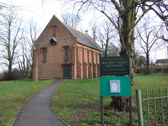
Spooner Row

Spooner Row is a small village, and civil parish, in the English county of Norfolk. It is situated some 5 km (3.1 mi) south-west of the town of Wymondham...

Wymondham College

Wymondham College is a coeducational day and boarding school in Morley, near Wymondham, Norfolk, England. A former grammar school, it is one of 36 state...

Nearby Amenities

Located within 500m of 52.520965,1.061306
Fixme: Does a Public Footpath run north from here?
Note: Definitive Statement and historic OS 1:25k suggest Besthorpe FP5 ends here
Lat/Long: 52.5183147/1.0627085
Marker: yes
Pipeline: marker
Substance: gas
Utility: gas
Lat/Long: 52.5186596/1.0552989
Flaxton Farm
Place: farm
Source: NLS - OS 1:25k 1st Series 1937-61
Lat/Long: 52.5185215/1.0630965
Marker: yes
Pipeline: marker
Substance: gas
Utility: gas
Lat/Long: 52.5200929/1.062414
Fixme: Definitive Statement says Bethorpe FP 5 crosses the railway, but no crossing point on the ground
Lat/Long: 52.5244661/1.0614708
Fixme: Definitive Statement says Bethorpe FP 5 crosses the railway, but no crossing point on the ground
Lat/Long: 52.5247346/1.0612801
Power: pole
Source: Bing
Lat/Long: 52.5233145/1.0564759
Material: wood
Power: pole
Source: Bing
Lat/Long: 52.5238596/1.0579726
Material: wood
Power: pole
Source: Bing
Lat/Long: 52.5249849/1.0593279
Material: wood
Power: pole
Source: Bing
Lat/Long: 52.5241755/1.0579278
Material: wood
Power: pole
Source: Bing
Lat/Long: 52.5241674/1.0632893
Power: pole
Source: Bing
Lat/Long: 52.5237089/1.0616693
Power: pole
Source: Bing
Lat/Long: 52.5233139/1.0603067
Power: pole
Source: Bing
Lat/Long: 52.5229141/1.0588691
Power: pole
Source: Bing
Lat/Long: 52.5224571/1.0572812
Power: pole
Source: Bing
Lat/Long: 52.5219937/1.0556316
Power: pole
Source: Bing
Lat/Long: 52.5215236/1.0539821
Power: pole
Source: Bing
Lat/Long: 52.5227754/1.0549718
The data included in this document is from www.openstreetmap.org. The data is made available under ODbL.

Have you been to Besthorpe?

Leave your review of Besthorpe below (or comments, questions and feedback).