Belton with Browston
Civil Parish in Suffolk Great Yarmouth
England
Belton with Browston

Belton with Browston is a civil parish located in the county of Suffolk, England. It is situated approximately 3 miles west of the town of Great Yarmouth and 20 miles east of Norwich. The parish is composed of two settlements, Belton and Browston, which are both vibrant and well-connected communities.
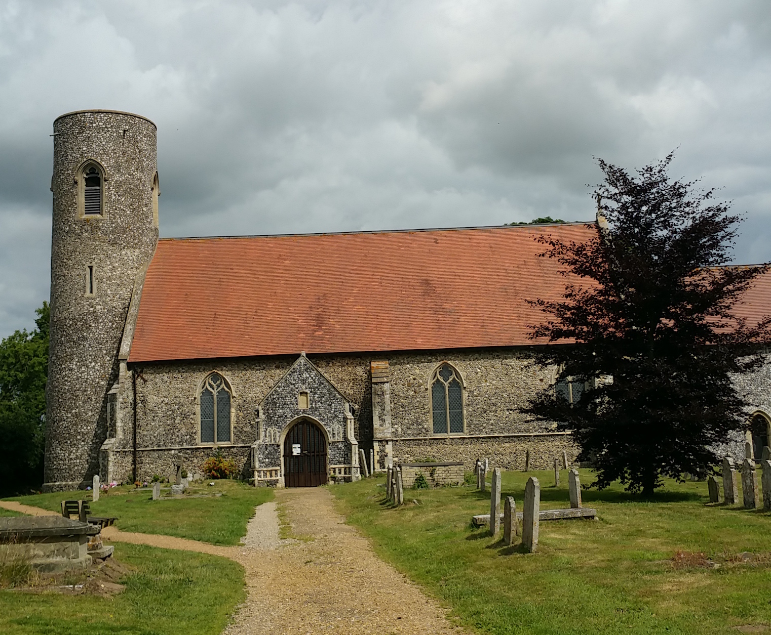
Belton, the larger of the two settlements, has a population of around 4,000 people. It is a charming village with a rich history dating back to the 12th century. The village is known for its beautiful parish church, St. Peter and St. Paul, which stands as a testament to its historical significance. Belton also has a range of amenities, including a primary school, a library, a post office, and several shops and pubs.
Browston, on the other hand, is a smaller settlement with a population of approximately 1,000 residents. It is primarily a residential area, known for its tranquil atmosphere and scenic surroundings. Browston benefits from its close proximity to the Norfolk Broads, a network of rivers and lakes that offers opportunities for boating, fishing, and wildlife observation.
Both Belton and Browston enjoy a strong sense of community spirit, with various local events and activities taking place throughout the year. The parishes are well-connected by road, with the A143 passing through Belton, providing easy access to neighboring towns and cities.
Overall, Belton with Browston offers a blend of historical charm, natural beauty, and modern amenities, making it an appealing place to live or visit in Suffolk.
If you have any feedback on the listing, please let us know in the comments section below.
Belton with Browston Images
Images are sourced within 2km of 52.568382/1.640539 or Grid Reference TG4602. Thanks to Geograph Open Source API. All images are credited.


Belton with Browston is located at Grid Ref: TG4602 (Lat: 52.568382, Lng: 1.640539)
Administrative County: Norfolk
District: Great Yarmouth
Police Authority: Norfolk
What 3 Words
///selects.trickling.paintings. Near Bradwell, Norfolk
Nearby Locations
Related Wikis
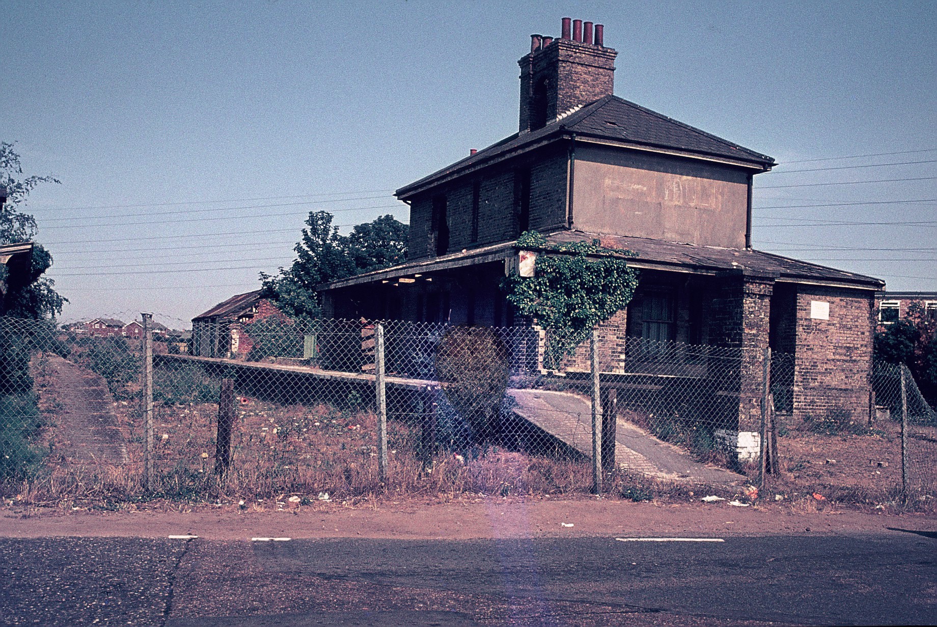
Belton and Burgh railway station
Belton & Burgh (originally Belton) was a railway station serving the Norfolk villages of Belton and Burgh Castle. It once saw trains on the main line from...
Belton with Browston
Belton with Browston is a civil parish in the English county of Norfolk. Historically part of Suffolk, the parish consists of the villages of Belton and...
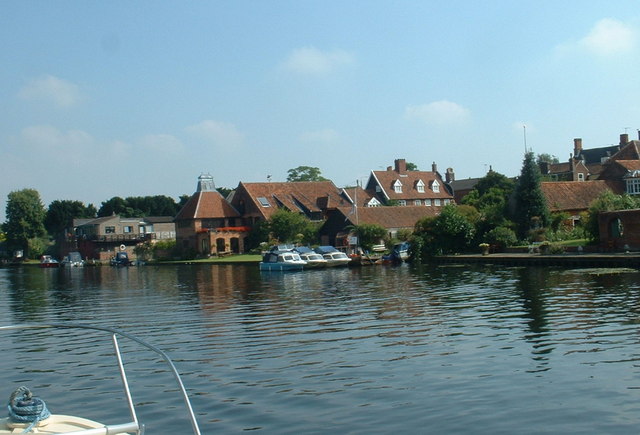
River Waveney
The River Waveney is a river which forms the boundary between Suffolk and Norfolk, England, for much of its length within The Broads. The "ey" part of...
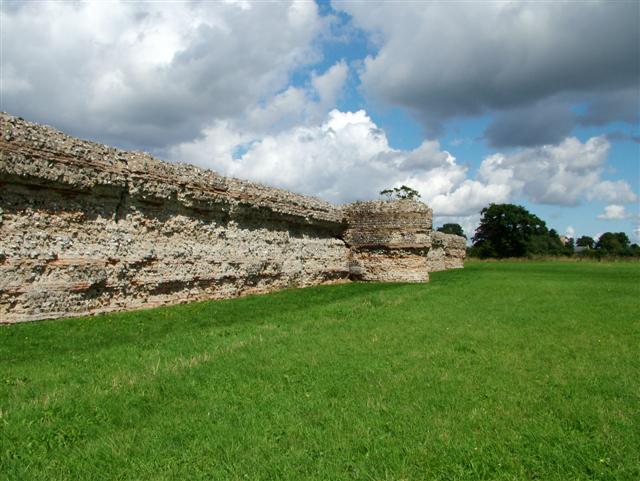
Gariannonum
Gariannonum, or Gariannum, was a Roman Saxon Shore fort in Norfolk, England. The Notitia Dignitatum, a Roman Army "order of battle" from about AD 400,...

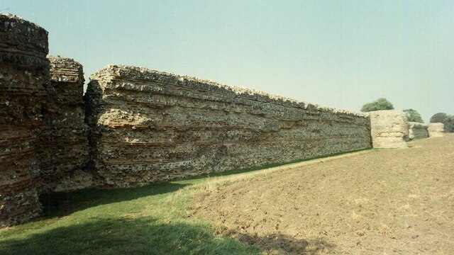
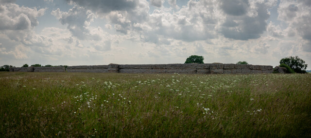
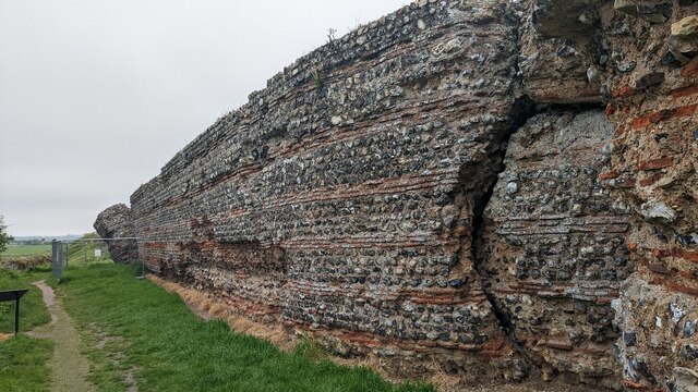
Burgh Castle (Roman fortification)
Burgh Castle is the site of one of nine Roman Saxon Shore forts constructed in England around the 3rd century AD, to hold troops as a defence against Saxon...

Berney Marshes & Breydon Water RSPB reserve
Berney Marshes and Breydon Water RSPB reserve is a nature reserve managed by the Royal Society for the Protection of Birds (RSPB). Berney Marshes is situated...
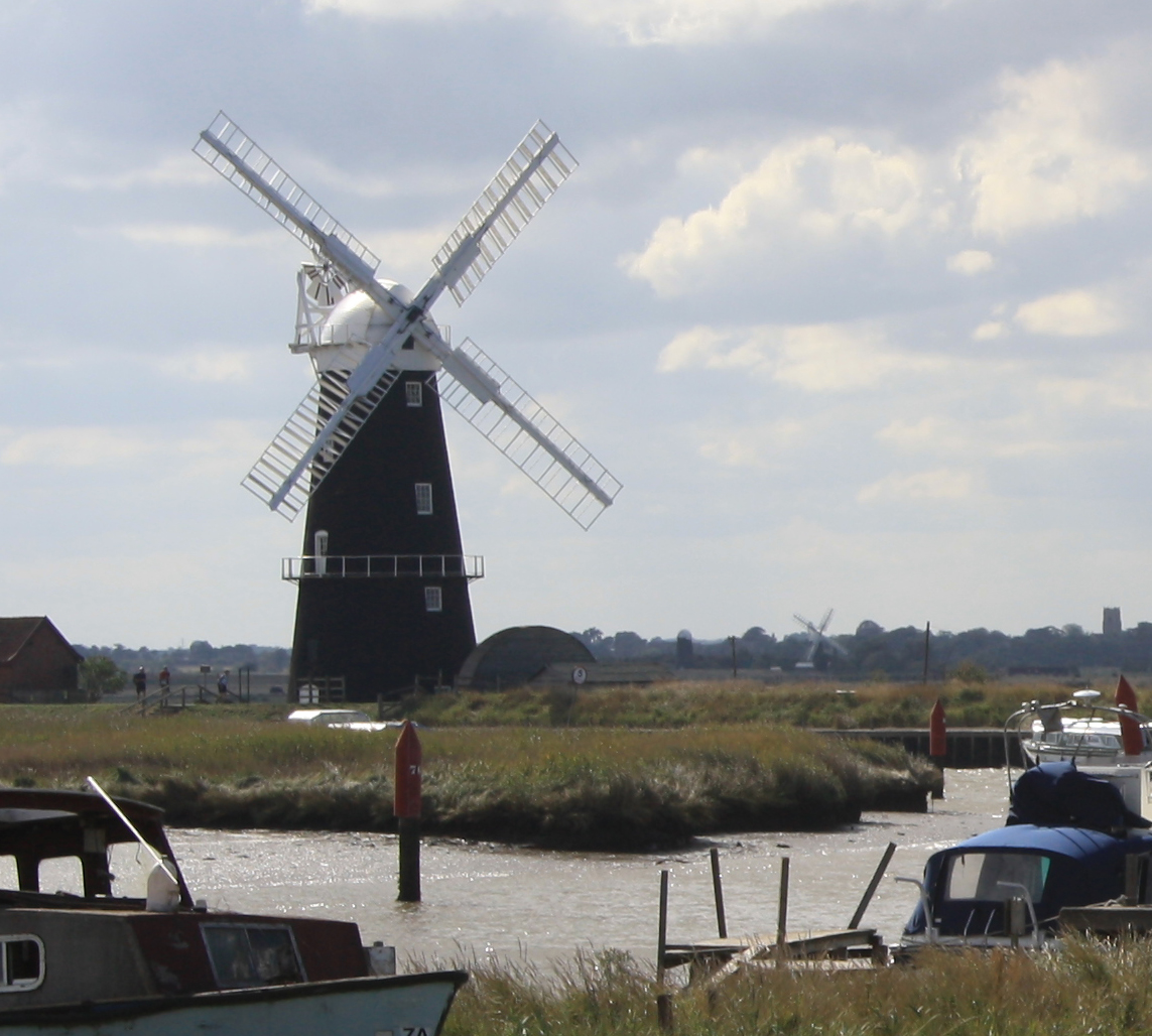
Berney Arms Windmill
Berney Arms Windmill is a tower mill located at Berney Arms alongside the River Yare at the south-western end of Breydon Water in the English county of...

Burgh Castle
Burgh Castle is a village and civil parish in the English county of Norfolk. It is situated on the east bank of the River Waveney, some 3.7 miles (6.0...
Have you been to Belton with Browston?
Leave your review of Belton with Browston below (or comments, questions and feedback).