Belton and Manthorpe
Civil Parish in Lincolnshire South Kesteven
England
Belton and Manthorpe

Belton and Manthorpe is a civil parish located in the county of Lincolnshire, England. It is situated approximately 3 miles south of the town of Grantham and covers an area of around 2.5 square miles. The parish is home to a population of around 1,500 residents.
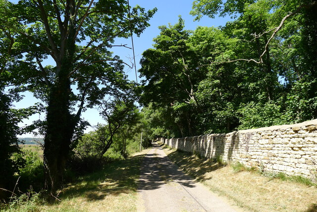
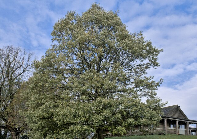
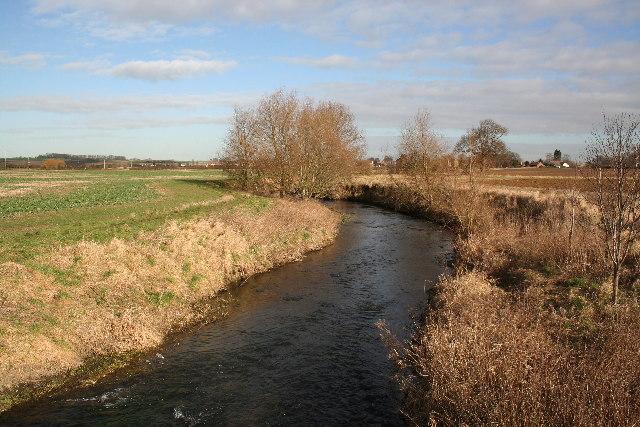
Belton and Manthorpe is a predominantly rural area, characterized by its picturesque countryside landscapes and charming villages. The parish is known for its agricultural heritage, with farming playing a significant role in the local economy. The fertile soil and favorable climate of the region make it ideal for growing crops and rearing livestock.
The parish is dotted with several historic buildings and landmarks that showcase its rich history. Belton House, a Grade I listed country house, is one of the most notable attractions in the area. Built in the late 17th century, the house is surrounded by stunning gardens and parkland, making it a popular destination for visitors.
In addition to its natural beauty and historical significance, Belton and Manthorpe offers a range of amenities and services to its residents. The parish has a primary school, a village hall, and a number of local businesses, including shops and pubs, that cater to the needs of the community.
Overall, Belton and Manthorpe, Lincolnshire, is a charming rural parish with a strong agricultural heritage, stunning landscapes, and a rich history that attracts both residents and visitors alike.
If you have any feedback on the listing, please let us know in the comments section below.
Belton and Manthorpe Images
Images are sourced within 2km of 52.946676/-0.608801 or Grid Reference SK9339. Thanks to Geograph Open Source API. All images are credited.


Belton and Manthorpe is located at Grid Ref: SK9339 (Lat: 52.946676, Lng: -0.608801)
Administrative County: Lincolnshire
District: South Kesteven
Police Authority: Lincolnshire
What 3 Words
///importing.extremely.swoop. Near Great Gonerby, Lincolnshire
Nearby Locations
Related Wikis

Belton House Boathouse
The Boathouse on Boathouse Pond, Belton House, Belton, Lincolnshire was designed by Anthony Salvin in 1838–1839. It is a Grade II listed building. ��2...

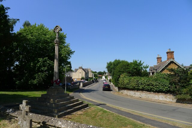
Belton, South Kesteven
Belton is a village in the civil parish of Belton and Manthorpe, in the South Kesteven district of Lincolnshire, England. It is situated on the A607 road...

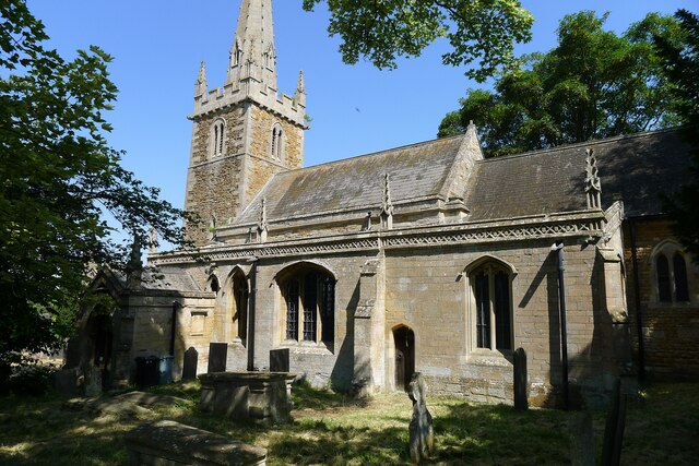
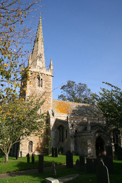
St Peter and St Paul's Church, Belton
The Church of St Peter and St Paul, Belton, South Kesteven, Lincolnshire is a functioning parish church and a Grade I listed building. Since the 17th century...
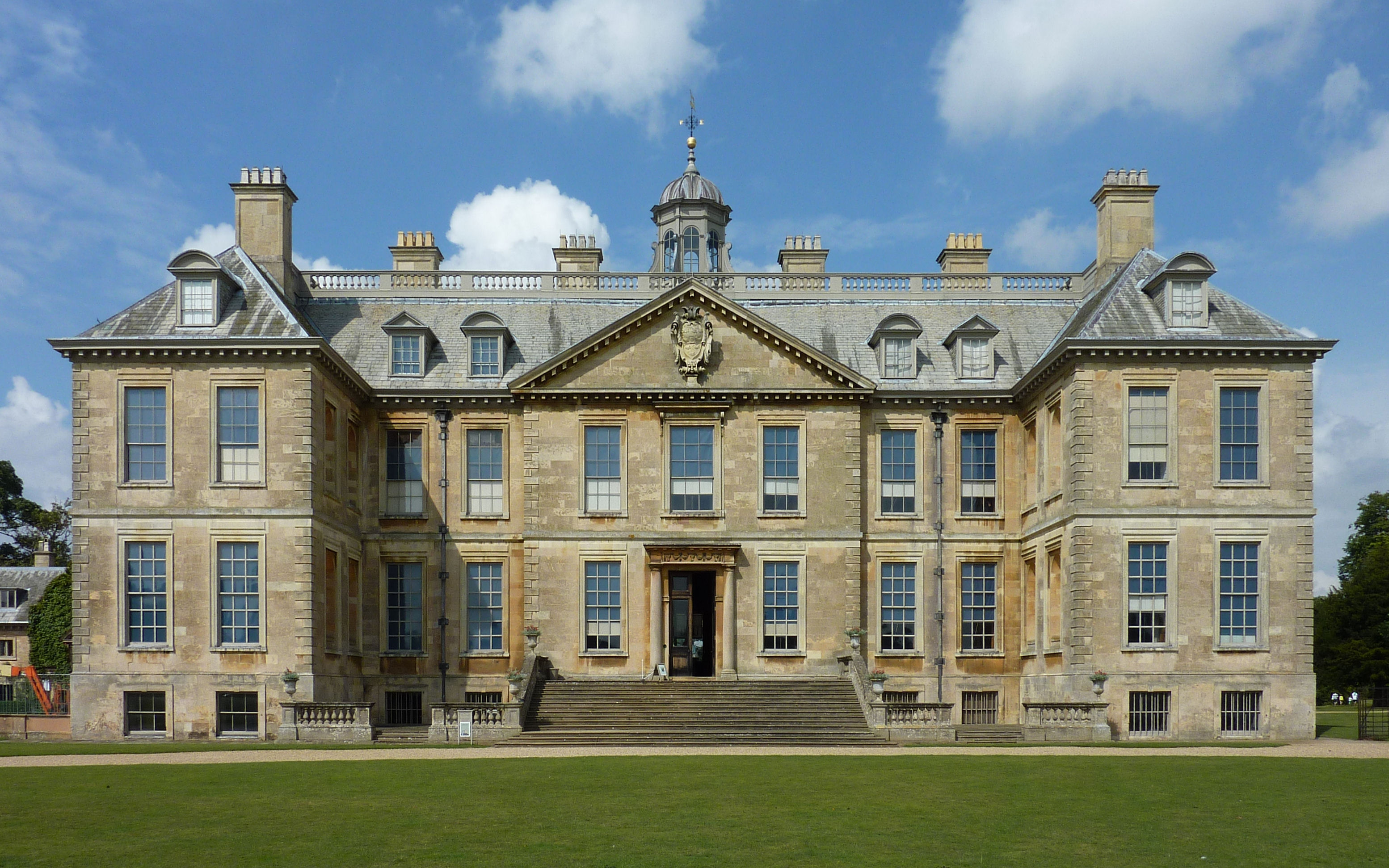
Belton House
Belton House is a Grade I listed country house in the parish of Belton near Grantham in Lincolnshire, England, built between 1685 and 1687 by Sir John...
Nearby Amenities
Located within 500m of 52.946676,-0.608801Have you been to Belton and Manthorpe?
Leave your review of Belton and Manthorpe below (or comments, questions and feedback).