Beckingham

Civil Parish in Lincolnshire North Kesteven

England

Beckingham

Endless wheat This vast field was once nine fields.
Endless wheat Credit: Jonathan Thacker

Beckingham is a civil parish located in the county of Lincolnshire, England. Situated approximately 15 miles north-west of the city of Lincoln, it lies on the eastern bank of the River Trent. The parish covers an area of around 2.3 square miles and is home to a population of approximately 1,000 residents.

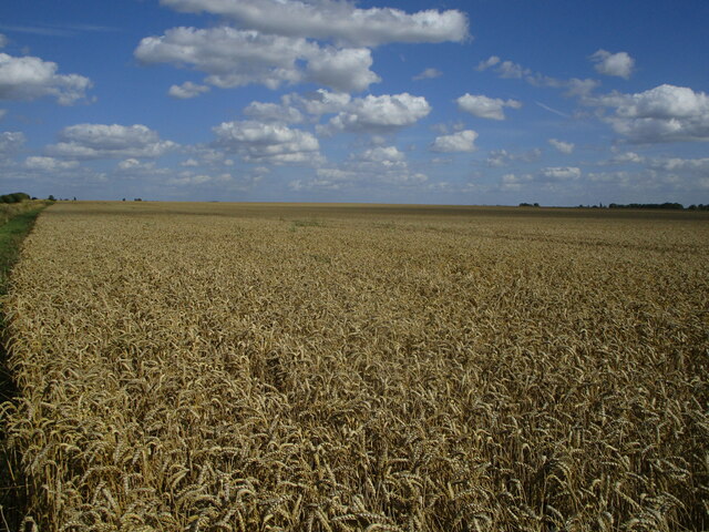
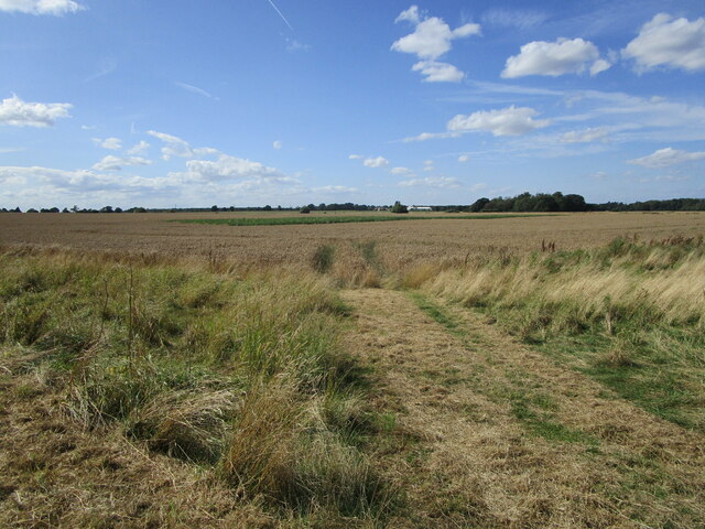
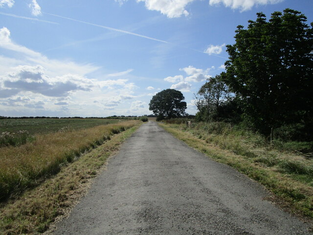
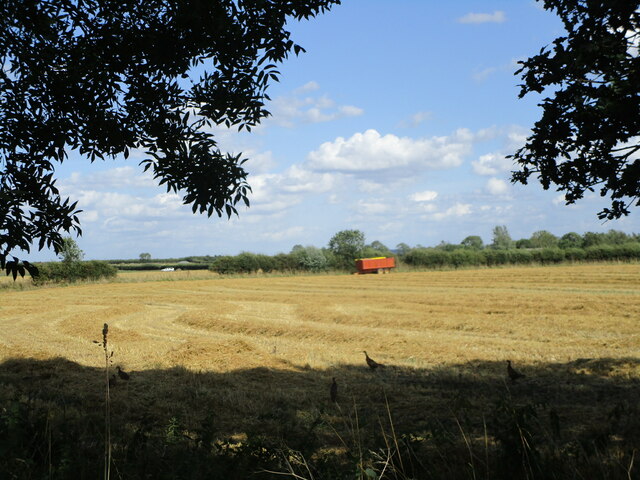
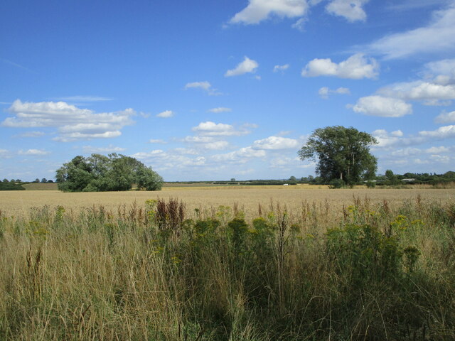
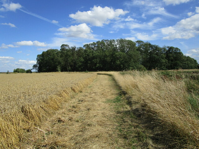
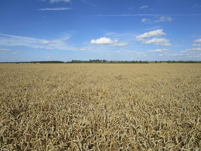
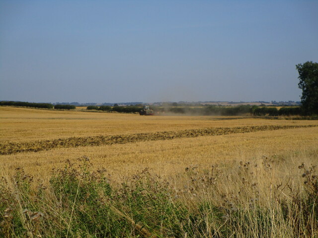
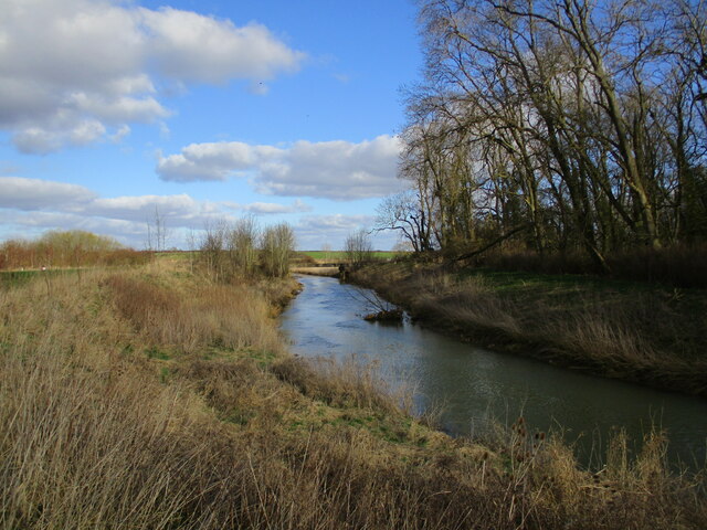
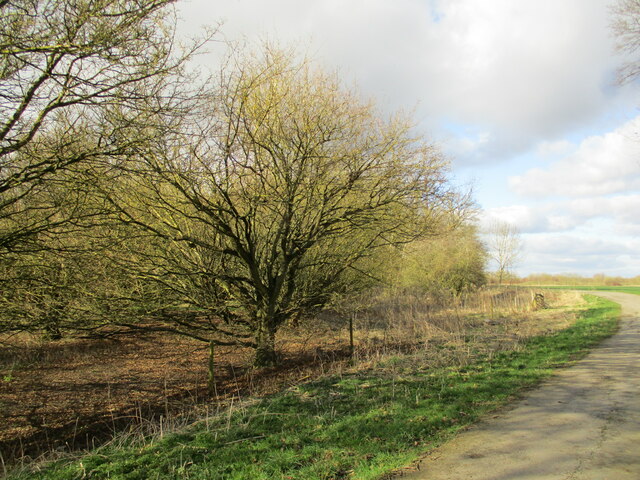
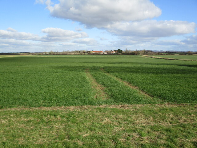
The village of Beckingham itself is a charming rural settlement with a long history dating back to the Roman period. It is known for its picturesque countryside, with rolling hills and beautiful landscapes surrounding the village. The River Trent, which flows through the parish, provides a scenic backdrop and offers recreational opportunities for residents and visitors.

In terms of amenities, Beckingham offers a range of facilities to cater to the needs of its residents. These include a primary school, a village hall, a post office, a local convenience store, and a public house. The village also has a strong sense of community, with various clubs and organizations providing opportunities for social engagement.

Beckingham is well-connected to other parts of Lincolnshire and the wider region. The A156 road runs through the village, providing easy access to nearby towns and cities. The closest railway station is located in the town of Gainsborough, approximately 7 miles away.

Overall, Beckingham is a tranquil and picturesque civil parish that offers a peaceful rural lifestyle while still providing essential amenities and convenient transportation links.

If you have any feedback on the listing, please let us know in the comments section below.
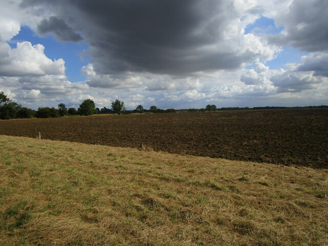
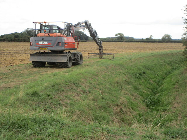
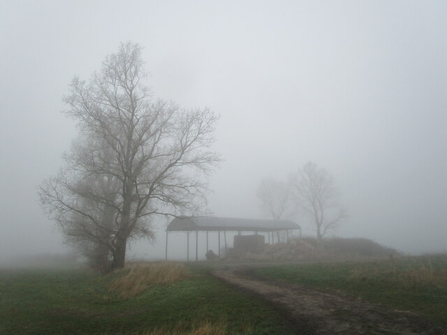
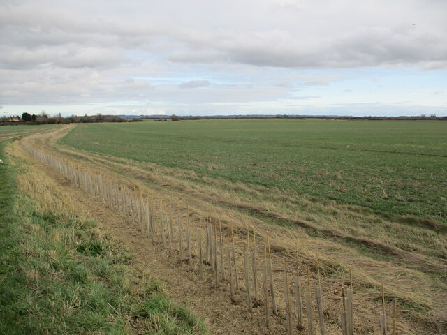
Beckingham Images

Images are sourced within 2km of 53.068823/-0.686271 or Grid Reference SK8853. Thanks to Geograph Open Source API. All images are credited.

Endless wheat This vast field was once nine fields.
Endless wheat
This vast field was once nine fields.
Wheat field Manor Farm in the distance.
Wheat field
Manor Farm in the distance.
Farm track near Skerries Plantation
Harvested field near Skerries Plantation The straw waiting to be baled.
Harvested field near Skerries Plantation
The straw waiting to be baled.
Wheat field near Skerries Plantation A Nottinghamshire field on the 'wrong' side of the River Witham.
Wheat field near Skerries Plantation
A Nottinghamshire field on the 'wrong' side of the River Witham.
Skerries Plantation The River Witham crosses the picture but is hidden from view.
Skerries Plantation
The River Witham crosses the picture but is hidden from view.
Wheat field Beckingham in the distance.
Wheat field
Beckingham in the distance.
The end of summer The field on the right has been harvested and will soon be prepared for next year's crop.
The end of summer
The field on the right has been harvested and will soon be prepared for next year's crop.
Disc harrowing a harvested field One circuit of this field is about 2 miles.
Disc harrowing a harvested field
One circuit of this field is about 2 miles.
Ready for next year's crop This field has lain fallow this year.
Ready for next year's crop
This field has lain fallow this year.
Taking a break Cleaning out Sutton Dyke.
Taking a break
Cleaning out Sutton Dyke.
Middle Buildings in freezing fog I suppose this really ought to be Middle Building as the other buildings have long since been demolished.
Middle Buildings in freezing fog
I suppose this really ought to be Middle Building as the other buildings have long since been demolished.
New hedge A change of ownership of this land has resulted in a desire to restore some of its previous appearance. Hedges were grubbed out in the 1960s and 1970s leading to an almost total loss of habita for birds and insects. This new hedge is to be welcomed.
New hedge
A change of ownership of this land has resulted in a desire to restore some of its previous appearance. Hedges were grubbed out in the 1960s and 1970s leading to an almost total loss of habita for birds and insects. This new hedge is to be welcomed.
The River Witham at Skerries Plantation
Farm track by Skerries Plantation The farm track is a permissive footpath.
Farm track by Skerries Plantation
The farm track is a permissive footpath.
Autumn sown crop near Sutton Sutton in the distance.
Autumn sown crop near Sutton
Sutton in the distance.
Harvesting wheat near Barnby in the Willows
Unloading while still harvesting No time to stop and unload so no time wasted. Unfortunately the constant t0-ing and fro-ing of a fleet of tractors and trailers used to transport the wheat from the field was disrupted and shortly after this picture was taken the combine harvester had an enforced 10 minute break.
Unloading while still harvesting
No time to stop and unload so no time wasted. Unfortunately the constant t0-ing and fro-ing of a fleet of tractors and trailers used to transport the wheat from the field was disrupted and shortly after this picture was taken the combine harvester had an enforced 10 minute break.
Show me another place!

Beckingham is located at Grid Ref: SK8853 (Lat: 53.068823, Lng: -0.686271)

Administrative County: Lincolnshire

District: North Kesteven

Police Authority: Lincolnshire

What 3 Words

///droplet.chucked.outlast. Near Claypole, Lincolnshire

Nearby Locations

Beckingham Beckingham

Related Wikis

Beckingham, Lincolnshire

Beckingham is a village and civil parish in the North Kesteven district of Lincolnshire, England. The population of the civil parish (including Stapleford...

Fenton, South Kesteven

Fenton is a village in the South Kesteven district of Lincolnshire, England. It is situated 14 miles (23 km) south-west from the city and county town of...

All Saints' Church, Barnby in the Willows

All Saints' Church, Barnby in the Willows, is a Grade I listed parish church in the Church of England in Barnby in the Willows. == History == The church...

Barnby in the Willows

Barnby in the Willows is a village and civil parish in the Newark and Sherwood district of Nottinghamshire, England, just east of Newark-on-Trent. According...

Nearby Amenities

Located within 500m of 53.068823,-0.686271
Bus Stop
Sleaford Road
Naptan AtcoCode: 270002700440
Naptan Bearing: N
Naptan CommonName: Sleaford Road
Naptan Indicator: N - bound
Naptan Landmark: Sleaford Road
Naptan NaptanCode: linagpmt
Naptan Street: Sutton Road
Naptan Verified: no
Source: naptan_import
Lat/Long: 53.0724645/-0.6887657
Bus Stop
Sleaford Road
Naptan AtcoCode: 2700LB003124
Naptan Bearing: S
Naptan CommonName: Sleaford Road
Naptan Indicator: S - bound
Naptan Landmark: Sleaford Road
Naptan NaptanCode: linawjwa
Naptan Street: Sutton Road
Naptan Verified: no
Source: naptan_import
Lat/Long: 53.0725797/-0.688613
The data included in this document is from www.openstreetmap.org. The data is made available under ODbL.

Have you been to Beckingham?

Leave your review of Beckingham below (or comments, questions and feedback).