Beausale, Haseley, Honiley and Wroxall

Civil Parish in Warwickshire Warwick

England

Beausale, Haseley, Honiley and Wroxall

Wroxall Abbey Estate Farmland near the Lodge.
Wroxall Abbey Estate Credit: Ian Rob

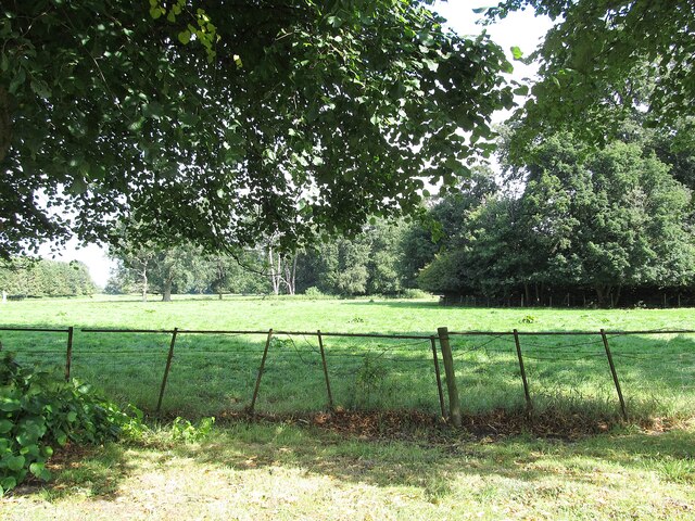
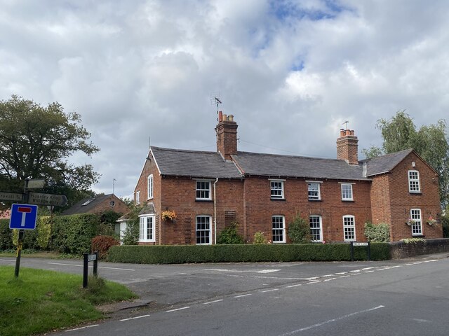
Beausale, Haseley, Honiley, and Wroxall is a civil parish located in Warwickshire, England. It covers an area of approximately 17 square kilometers and is situated about 8 miles southeast of the county town, Warwick. The parish is made up of four distinct villages: Beausale, Haseley, Honiley, and Wroxall.

Beausale is a small village known for its picturesque countryside and charming cottages. It is home to a number of historic buildings, including Beausale House, a Grade II listed building dating back to the 18th century. The village offers a peaceful and rural setting, attracting visitors looking for a tranquil retreat.

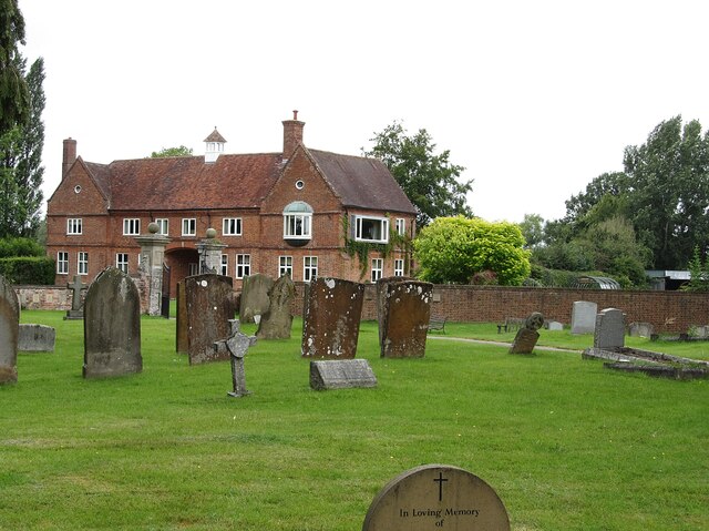
Haseley is another village within the parish, characterized by its rich history and stunning landscapes. The village is home to the Grade II listed Haseley Manor, a beautiful country house that has been converted into residential apartments. Haseley also boasts a number of walking trails, allowing visitors to explore the surrounding countryside and enjoy the natural beauty of Warwickshire.

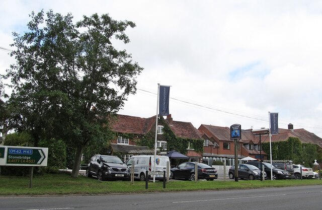
Honiley is a small hamlet located in the parish, known for its rural charm and traditional cottages. The hamlet is home to Honiley Court Hotel, a popular venue for weddings and events. Honiley also offers easy access to the nearby towns of Kenilworth and Warwick, where visitors can explore historical landmarks and enjoy a range of amenities.

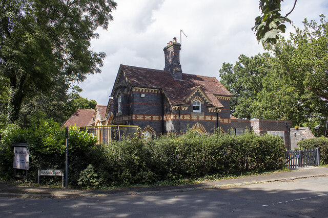
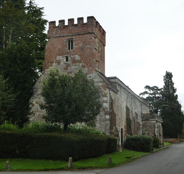
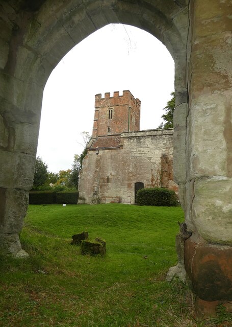
Wroxall, the largest village in the parish, is situated on the edge of the Cotswolds Area of Outstanding Natural Beauty. The village is known for its stunning countryside views and is home to a number of historic buildings, including Wroxall Abbey, a former country house turned hotel. Wroxall offers a range of amenities, including shops, pubs, and a primary school.

Overall, Beausale, Haseley, Honiley, and Wroxall provide a mix of rural charm, historic architecture, and natural beauty, making it an attractive destination for visitors

If you have any feedback on the listing, please let us know in the comments section below.

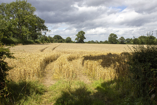
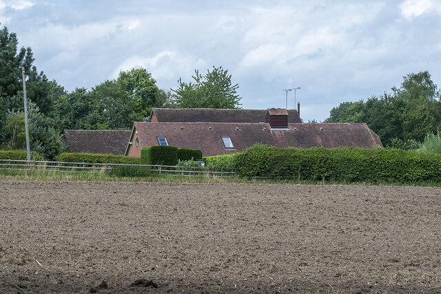
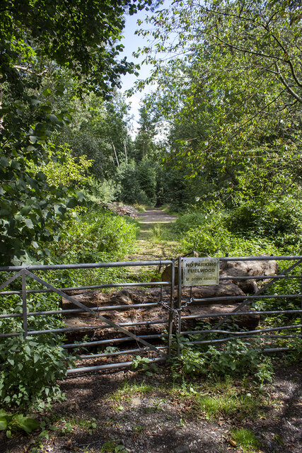
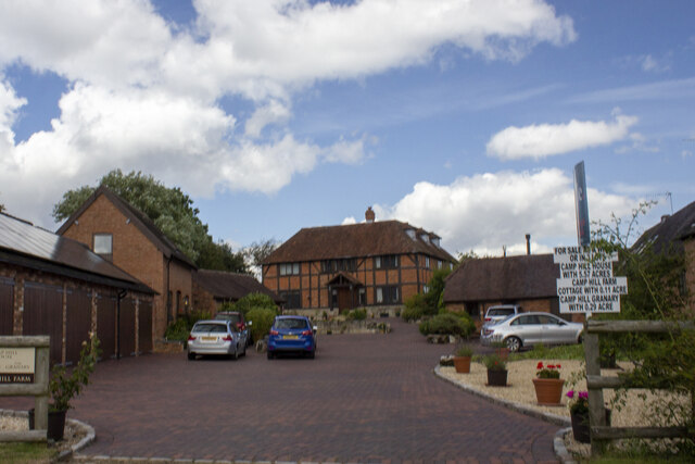
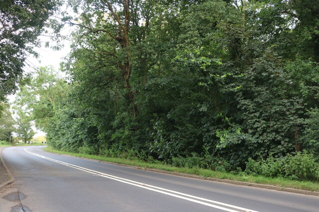
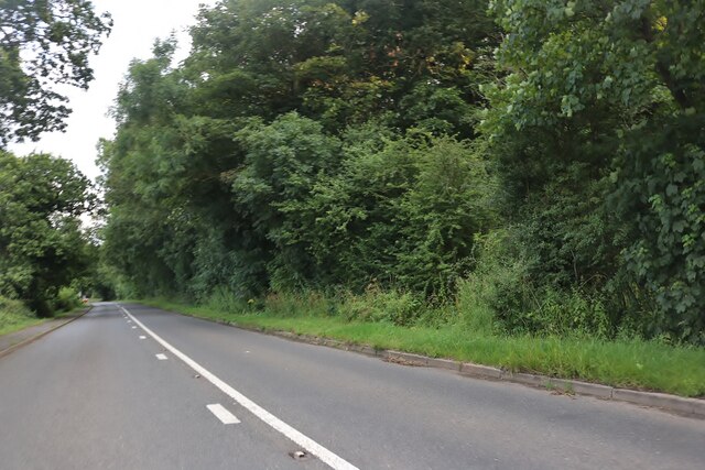
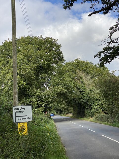
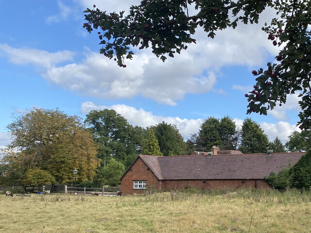
Beausale, Haseley, Honiley and Wroxall Images

Images are sourced within 2km of 52.335168/-1.65057 or Grid Reference SP2370. Thanks to Geograph Open Source API. All images are credited.

Wroxall Abbey Estate Farmland near the Lodge.
Wroxall Abbey Estate
Farmland near the Lodge.
Honiley-North Lodge View from the churchyard.
Honiley-North Lodge
View from the churchyard.
Honiley Boot-The Phantom Coachman Public House.
Honiley Boot-The Phantom Coachman
Public House.
Wroxall School House
Field off Manor Lane
Haseleygreen Farm
Haseleygreen Farm
Clattyland Wood Track entering Clattyland Wood
Clattyland Wood
Track entering Clattyland Wood
Camphill Farm
Camphill Farm
Birmingham Road, Wroxall
Birmingham Road approaching Five Ways
Signpost near road junction Turn right for Beausale, straight ahead for Haseley Knob.
Signpost near road junction
Turn right for Beausale, straight ahead for Haseley Knob.
Cheney’s Farm
Cheney’s Farm
Haseley Knob House at road junction to Beausale.
Haseley Knob
House at road junction to Beausale.
Farming near Beausale
Rose Cottage post Alongside the road from Beausale.
Rose Cottage post
Alongside the road from Beausale.
House at crossroad near Beausale I wonder how ‘Dirty Lane’ got its name.
House at crossroad near Beausale
I wonder how ‘Dirty Lane’ got its name.
Wroxall Abbey - Church of St Leonard Dating originally from c.1315 with the west tower (seen prominently here) added in c.1663. It takes its dedication from the former St Leonard's priory, the ruins of which lie to its south. The church is to the east of the C19th Wroxall Abbey which was never actually an abbey. See shared description below for more information and links.
Wroxall Abbey - Church of St Leonard
Dating originally from c.1315 with the west tower (seen prominently here) added in c.1663. It takes its dedication from the former St Leonard's priory, the ruins of which lie to its south. The church is to the east of the C19th Wroxall Abbey which was never actually an abbey. See shared description below for more information and links.
Wroxall Abbey - St Leonard's church through priory arch Taken from inside the ruins of St Leonard's Priory looking through its northern arch to the tower of St Leonard's church. See shared description for more information.
Wroxall Abbey - St Leonard's church through priory arch
Taken from inside the ruins of St Leonard's Priory looking through its northern arch to the tower of St Leonard's church. See shared description for more information.
Show me another place!

Beausale, Haseley, Honiley and Wroxall is located at Grid Ref: SP2370 (Lat: 52.335168, Lng: -1.65057)

Administrative County: Warwickshire

District: Warwick

Police Authority: Warwickshire

What 3 Words

///slowly.fabricate.knee. Near Wroxall, Warwickshire

Related Wikis

Beausale

Beausale is a hamlet and former civil parish, now in the parish of Beausale, Haseley, Honiley and Wroxall, in the Warwick district of Warwickshire, England...

Beausale, Haseley, Honiley and Wroxall

Beausale, Haseley, Honiley and Wroxall is a civil parish in the Warwick District of Warwickshire, England. It was created in 2007 by the merger of the...

Wroxall, Warwickshire

Wroxall is a small village and former civil parish, now in the parish of Beausale, Haseley, Honiley and Wroxall, in the Warwick district, in the county...

Honiley

Honiley is a small village and former civil parish, now in the parish of Beausale, Haseley, Honiley and Wroxall, in the Warwick district, in the county...

Nearby Amenities

Located within 500m of 52.335168,-1.65057
Bus Stop
Crossroads
Bus: yes
Naptan AtcoCode: 4200F006600
Naptan Bearing: N
Naptan CommonName: Crossroads
Naptan Indicator: Crossroads
Naptan NaptanCode: waragjam
Naptan Street: Heath Terrace
Naptan Verified: no
Public Transport: platform
Source: naptan_import
Lat/Long: 52.3348534/-1.6477648
Beausale
Place: hamlet
Wikidata: Q4877634
Lat/Long: 52.3347089/-1.6471779
Booth: K6
Covered: booth
Man Made: telephone_box
Note: no phone. This is just an information booth
Source: survey
Tourism: information
Lat/Long: 52.3350973/-1.6477856
Post Box
Brand: Royal Mail
Brand Wikidata: Q638098
Brand Wikipedia: en:Royal Mail
Collection Times: Mo-Fr 09:00; Sa 07:00
Operator: Royal Mail
Operator Wikidata: Q638098
Post Box Type: lamp
Ref: CV35 182D
Royal Cypher: EIIR
Royal Cypher Wikidata: Q33102113
Source: survey
Lat/Long: 52.3350185/-1.6479892
Barrier: yes
Lat/Long: 52.3330535/-1.6482888
Operator: National Grid Electricity Distribution
Operator Wikidata: Q7988183
Power: pole
Source: bing
Lat/Long: 52.3308752/-1.6504169
Operator: National Grid Electricity Distribution
Operator Wikidata: Q7988183
Power: pole
Source: bing
Lat/Long: 52.3314153/-1.6510767
Operator: National Grid Electricity Distribution
Operator Wikidata: Q7988183
Power: pole
Source: bing
Lat/Long: 52.3319455/-1.6517432
Operator: National Grid Electricity Distribution
Operator Wikidata: Q7988183
Power: pole
Source: bing
Lat/Long: 52.3324872/-1.6523936
Operator: National Grid Electricity Distribution
Operator Wikidata: Q7988183
Power: pole
Source: bing
Lat/Long: 52.3331142/-1.6530173
Operator: National Grid Electricity Distribution
Operator Wikidata: Q7988183
Power: pole
Source: bing
Lat/Long: 52.3337034/-1.6536127
Operator: National Grid Electricity Distribution
Operator Wikidata: Q7988183
Power: pole
Source: bing
Lat/Long: 52.3343664/-1.654058
Operator: National Grid Electricity Distribution
Operator Wikidata: Q7988183
Power: pole
Source: bing
Lat/Long: 52.335008/-1.6545099
Operator: National Grid Electricity Distribution
Operator Wikidata: Q7988183
Power: pole
Source: bing
Lat/Long: 52.335512/-1.6551134
Generator Method: photovoltaic
Generator Output Electricity: yes
Generator Source: solar
Generator Type: solar_photovoltaic_panel
Location: roof
Power: generator
Lat/Long: 52.3356685/-1.6503578
Operator: National Grid Electricity Distribution
Operator Wikidata: Q7988183
Power: pole
Source: bing
Lat/Long: 52.337695/-1.6539828
Material: wood
Operator: National Grid Electricity Distribution
Operator Wikidata: Q7988183
Power: pole
Source: bing
Lat/Long: 52.3380236/-1.6550718
Operator: National Grid Electricity Distribution
Operator Wikidata: Q7988183
Power: pole
Source: bing
Lat/Long: 52.3394043/-1.6504289
Operator: National Grid Electricity Distribution
Operator Wikidata: Q7988183
Power: pole
Source: bing
Lat/Long: 52.339192/-1.6507146
Operator: National Grid Electricity Distribution
Operator Wikidata: Q7988183
Power: pole
Source: bing
Lat/Long: 52.3387741/-1.6512738
Operator: National Grid Electricity Distribution
Operator Wikidata: Q7988183
Power: pole
Source: bing
Lat/Long: 52.3380908/-1.6520624
Operator: National Grid Electricity Distribution
Operator Wikidata: Q7988183
Power: pole
Source: bing
Lat/Long: 52.3374106/-1.653024
Operator: National Grid Electricity Distribution
Operator Wikidata: Q7988183
Power: pole
Source: bing
Lat/Long: 52.3367969/-1.6538675
Operator: National Grid Electricity Distribution
Operator Wikidata: Q7988183
Power: pole
Source: bing
Lat/Long: 52.3361823/-1.6546789
Material: wood
Operator: National Grid Electricity Distribution
Operator Wikidata: Q7988183
Power: pole
Source: bing
Lat/Long: 52.33607/-1.6558188
Material: wood
Operator: National Grid Electricity Distribution
Operator Wikidata: Q7988183
Power: pole
Source: bing
Lat/Long: 52.335984/-1.6565524
The data included in this document is from www.openstreetmap.org. The data is made available under ODbL.

Have you been to Beausale, Haseley, Honiley and Wroxall?

Leave your review of Beausale, Haseley, Honiley and Wroxall below (or comments, questions and feedback).