Beaumont Chase
Civil Parish in Rutland
England
Beaumont Chase

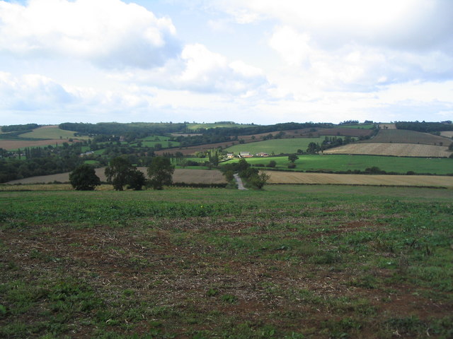
Beaumont Chase is a civil parish located in the county of Rutland, England. It is situated in the East Midlands region and covers an area of approximately 4.5 square kilometers. The parish is part of the Rutland district and lies to the south of the county town of Oakham.
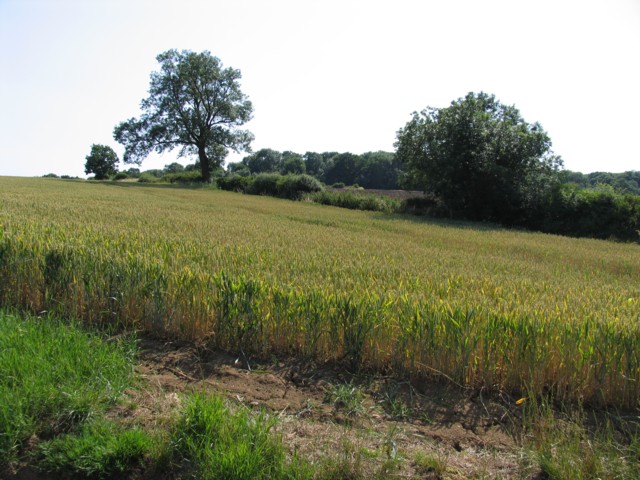
The population of Beaumont Chase is relatively small, with around 200 residents according to the latest available data. The parish is predominantly rural, characterized by open fields, farmland, and rolling hills. It is surrounded by other rural parishes such as Barrowden, Morcott, and Lyddington.
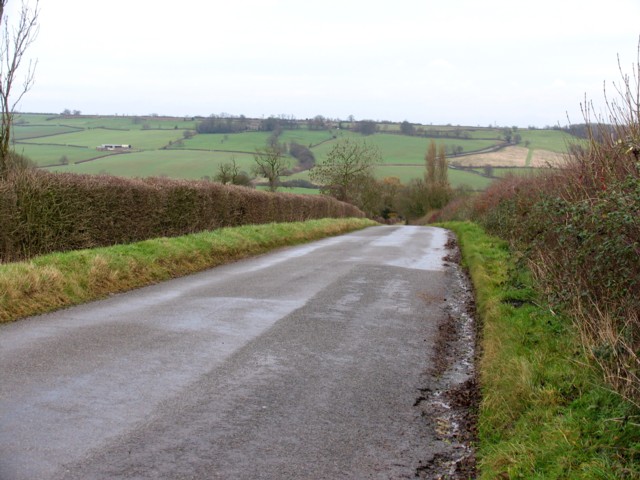
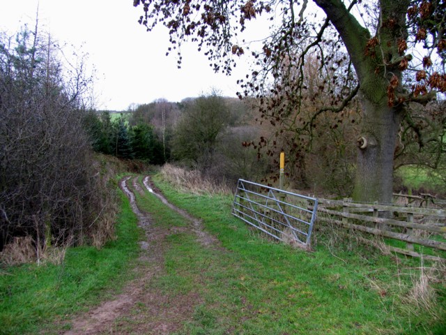
The area is known for its picturesque beauty, with stunning countryside views and a tranquil atmosphere. It offers ample opportunities for outdoor activities such as walking, cycling, and horse riding. The parish is also home to several small woodland areas, providing a habitat for a variety of flora and fauna.
Beaumont Chase does not have its own village center or amenities, and most residents rely on nearby towns for services and facilities. Rutland Water, a large reservoir and popular tourist attraction, is located just a short distance to the west, offering recreational activities such as sailing, fishing, and birdwatching.
Overall, Beaumont Chase is a charming and peaceful civil parish, providing its residents with a rural and idyllic lifestyle amidst the natural beauty of Rutland.
If you have any feedback on the listing, please let us know in the comments section below.
Beaumont Chase Images
Images are sourced within 2km of 52.583525/-0.754896 or Grid Reference SP8499. Thanks to Geograph Open Source API. All images are credited.


Beaumont Chase is located at Grid Ref: SP8499 (Lat: 52.583525, Lng: -0.754896)
Unitary Authority: Rutland
Police Authority: Leicestershire
What 3 Words
///zaps.comical.boot. Near Uppingham, Rutland
Nearby Locations
Related Wikis

Kings Hill, Rutland
Kings Hill is a place in the East Midlands county of Rutland, England, near the border between civil parishes of Beaumont Chase and Uppingham. == References... ==
Beaumont Chase
Beaumont Chase is a civil parish in the county of Rutland in the East Midlands of England. It is to the west of Uppingham, north of Stoke Dry, and on a...

Stockerston
Stockerston is a village and civil parish in the Harborough district of Leicestershire, England, located on the border with Rutland, by the Eye Brook....

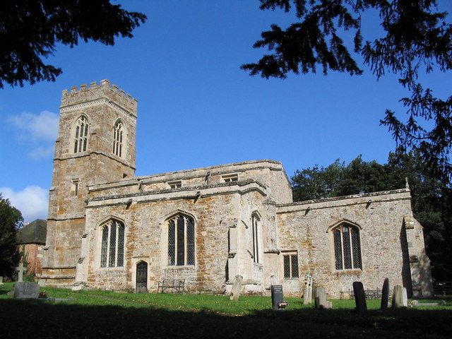
St Botolph's Church, Wardley
St Botolph's Church, Wardley is a redundant Anglican church in the small village of Wardley, Rutland, England. It is recorded in the National Heritage...
Wardley, Rutland
Wardley is a village and civil parish in the county of Rutland in the East Midlands of England. The population at the 2001 census was 32. At the 2011 census...
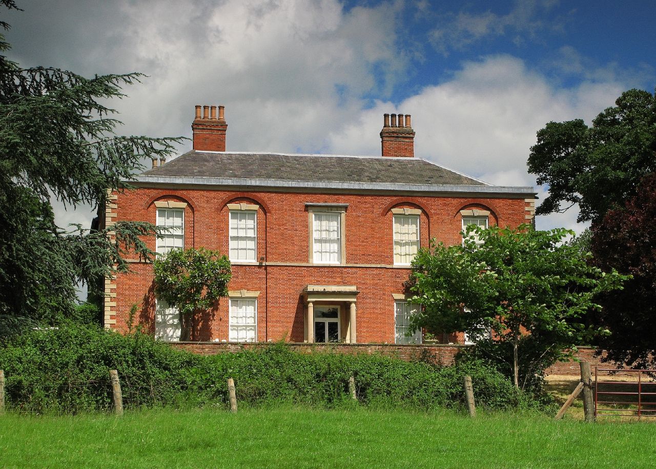
Stockerston Hall
Stockerston Hall is a late-18th-century English country house in Leicestershire, near the town of Uppingham, Rutland. It is a Grade II listed building...
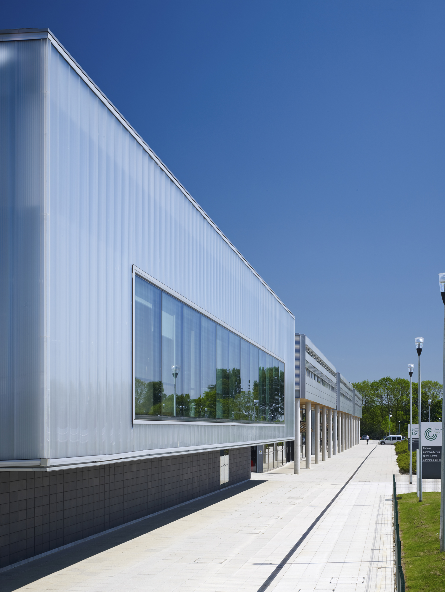
Catmose College
Catmose College is a secondary academy school on Huntsmans Drive in Oakham, Rutland. The catchment area covers the county town of Oakham and surrounding...
Uppingham School
Uppingham School is a public school (English fee-charging boarding and day school for pupils 13-18) in Uppingham, Rutland, England, founded in 1584 by...
Nearby Amenities
Located within 500m of 52.583525,-0.754896Have you been to Beaumont Chase?
Leave your review of Beaumont Chase below (or comments, questions and feedback).