Beaumont
Civil Parish in Cumberland Carlisle
England
Beaumont
Beaumont is a civil parish located in the county of Cumberland, in the northwest of England. It is situated within the picturesque Lake District National Park, with its stunning natural landscapes and scenic beauty. The parish covers an area of approximately 10 square miles and is home to a small population.
One of the most notable features of Beaumont is its close proximity to the popular tourist destination, Lake Windermere, which is just a short distance away. This large lake offers a range of recreational activities such as boating, fishing, and hiking, attracting visitors from all over the country.
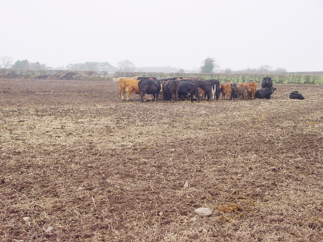
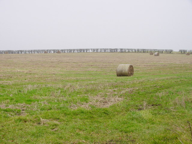
The parish itself is characterized by its rolling hills, woodlands, and charming countryside. It is a haven for nature enthusiasts and outdoor lovers, offering numerous walking trails and cycling routes that allow visitors to explore the area's natural splendor. Wildlife is abundant in Beaumont, and it is common to spot various species of birds, deer, and other animals in the surrounding fields and forests.
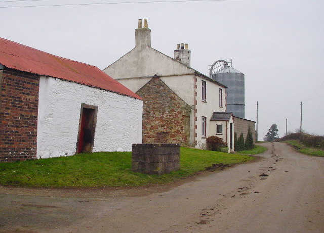
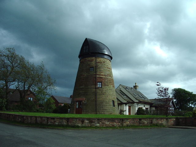
Although primarily a rural area, Beaumont is also home to a small village with a handful of shops, local amenities, and a welcoming community. The parish has a rich history, with evidence of ancient settlements and historic landmarks scattered throughout the area.
Overall, Beaumont, Cumberland is a tranquil and picturesque civil parish that offers a peaceful retreat for those seeking a break from the hustle and bustle of city life. Its natural beauty, outdoor activities, and friendly community make it a charming destination for visitors and residents alike.
If you have any feedback on the listing, please let us know in the comments section below.
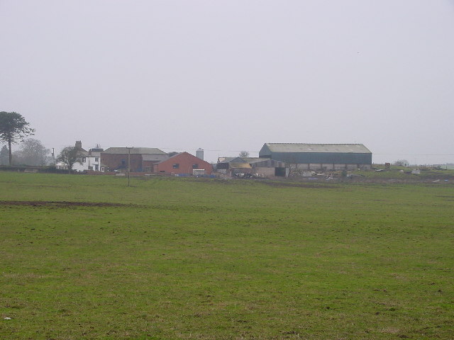
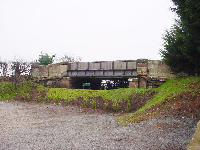
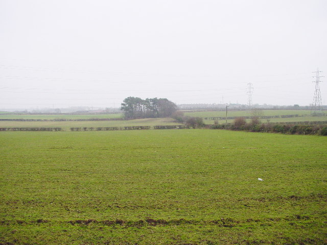
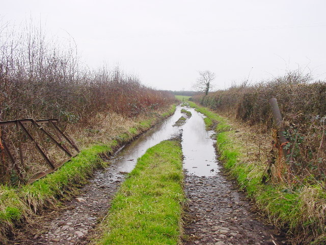
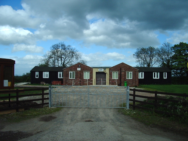
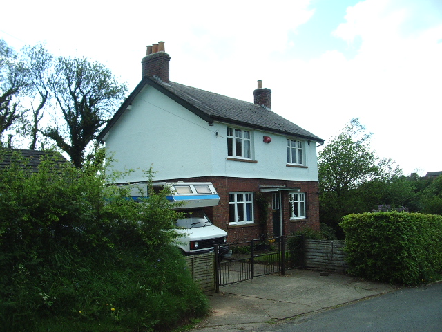
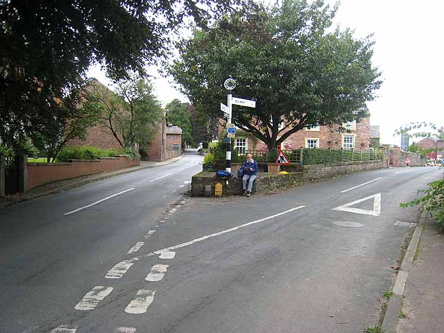
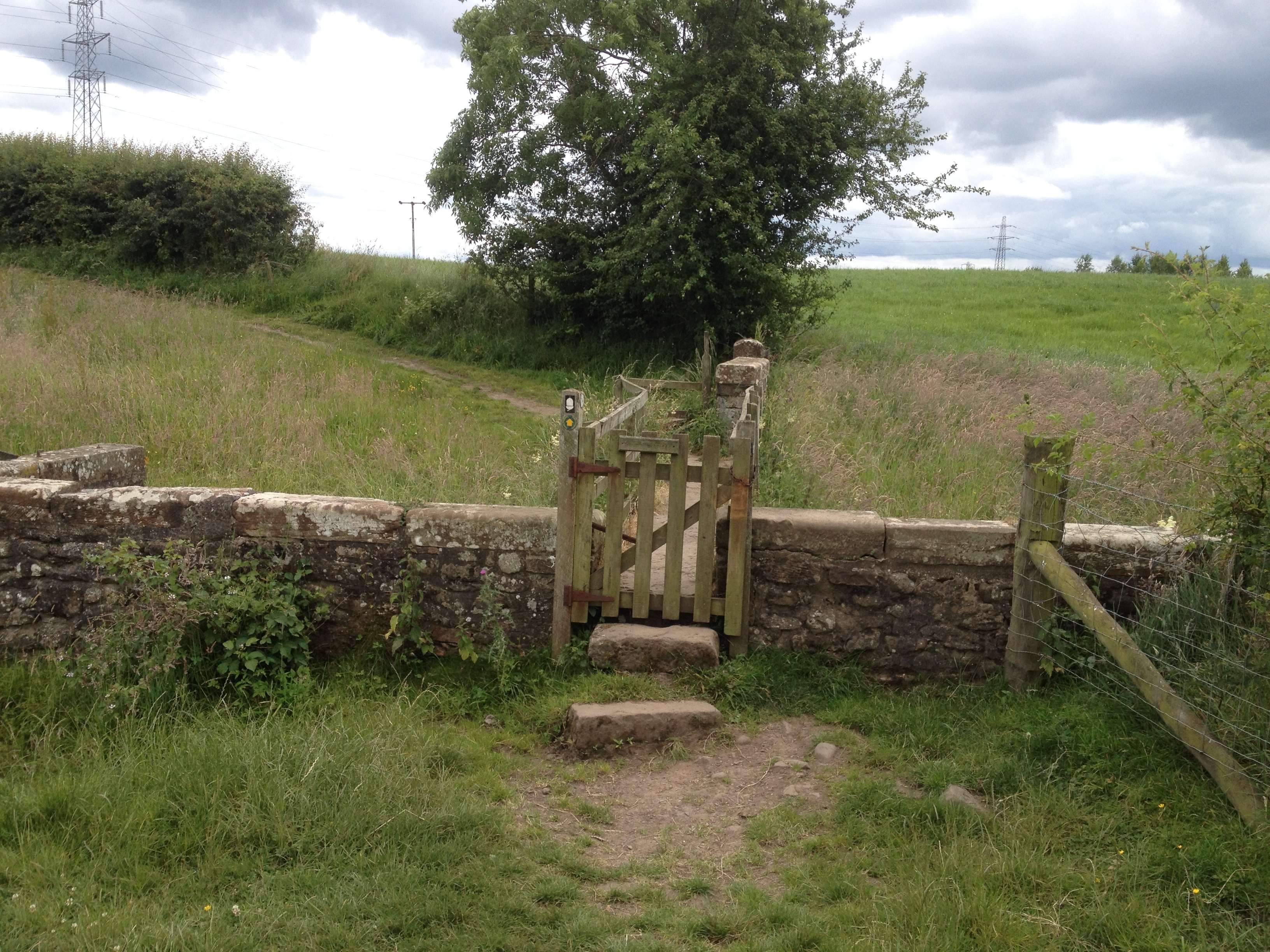
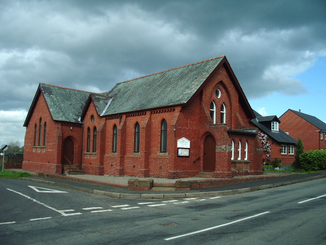
Beaumont Images
Images are sourced within 2km of 54.904436/-3.006985 or Grid Reference NY3557. Thanks to Geograph Open Source API. All images are credited.


Beaumont is located at Grid Ref: NY3557 (Lat: 54.904436, Lng: -3.006985)
Administrative County: Cumbria
District: Carlisle
Police Authority: Cumbria
What 3 Words
///lunging.cheerily.issue. Near Denton Holme, Cumbria
Nearby Locations
Related Wikis

Kirkandrews-on-Eden
Kirkandrews-on-Eden or Kirkandrews-upon-Eden, in the past known as Kirkanders, is a village and former civil parish, now in the civil parish of Beaumont...

Kirkandrews railway station
Kirkandrews railway station was near Kirkandrews-on-Eden, Cumberland (now Cumbria), England. It was on the Port Carlisle Railway branch, and later part...
Milecastle 69
Milecastle 69 (Sourmilk Bridge) was one of a series of Milecastles or small fortlets built at intervals of approximately one Roman mile along Hadrian's...

Grinsdale
Grinsdale is a village and former civil parish, now in the civil parish of Beaumont, in the Cumberland district, in the ceremonial county of Cumbria, England...
Monkhill, Cumbria
Monkhill is a small village in the civil parish of Beaumont, in the City of Carlisle district, in the county of Cumbria, England. Nearby settlements include...

Milecastle 70
Milecastle 70 (Braelees) was one of a series of Milecastles or small fortlets built at intervals of approximately one Roman mile along Hadrian's Wall...

Little Orton, Cumbria
Little Orton is a hamlet in the English county of Cumbria. Little Orton is due west of the city of Carlisle and forms part of the civil parish of Orton...

Moorhouse, Cumbria
Moorhouse is a village on the B5307 road in the civil parish of Burgh by Sands in the English county of Cumbria. It is near the city of Carlisle. In 1870...
Related Videos

Arnside & FairySteps
Fairy Steps & Arnside: Chill out day at the seaside - we can't stay home for too long, had to get out! Taking it easy while hubby is ...

Morocco 2019
to get Toubkal.

River Eden 8/4/2020
An excuse for me to play about with an editing app. A few photos and videos of the River and surrounding area taken as we took ...
Nearby Amenities
Located within 500m of 54.904436,-3.006985Have you been to Beaumont?
Leave your review of Beaumont below (or comments, questions and feedback).