Batcombe

Civil Parish in Somerset Mendip

England

Batcombe

2011 : Track and footpath to Batcombe The track is not a public right of way, the footpath is.
Batcome is in the valley beyond the well trimmed hedgerow.
2011 : Track and footpath to Batcombe Credit: Maurice Pullin

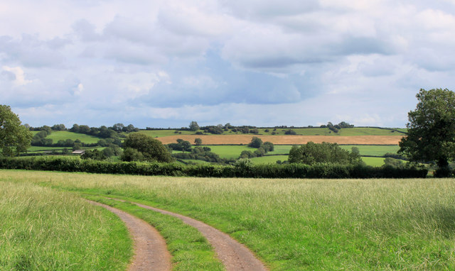
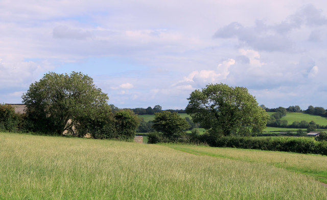
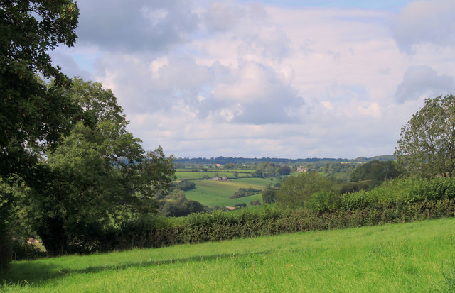
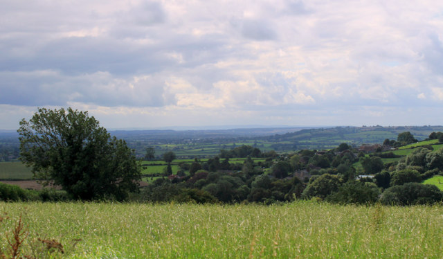
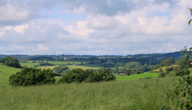
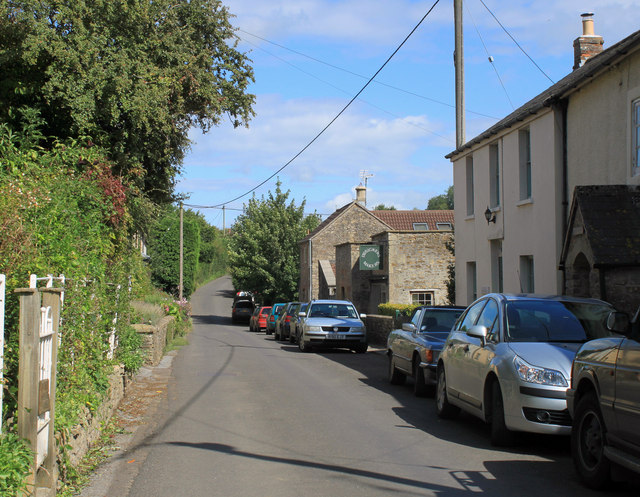
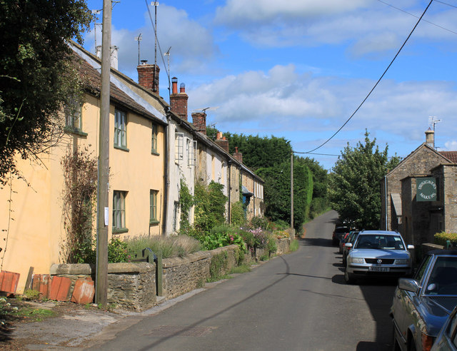
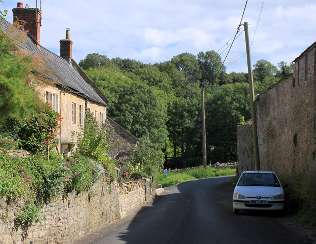
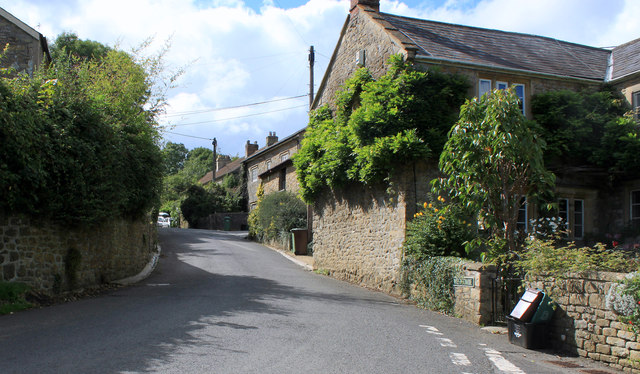
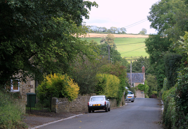
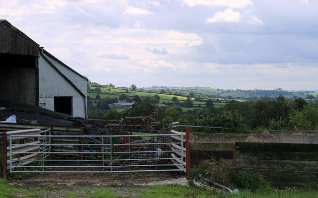
Batcombe is a civil parish and village located in the county of Somerset, England. Situated in the Mendip Hills, it lies approximately 8 miles southwest of Shepton Mallet and 20 miles south of Bristol. The village is nestled in a beautiful rural setting, surrounded by rolling hills and picturesque countryside.

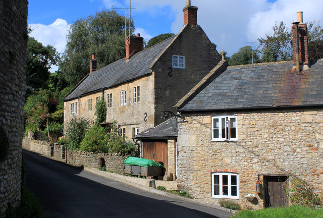
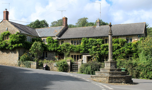
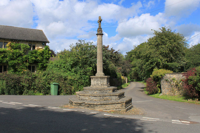
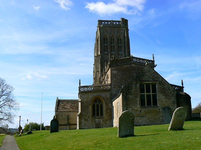
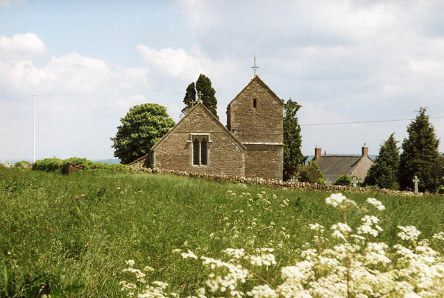
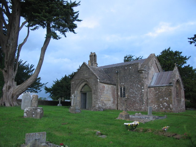
At the heart of the village is St. Mary's Church, a Grade I listed building dating back to the 12th century. The church features a stunning Norman doorway and a unique medieval rood screen. The village also boasts a quaint pub, The Three Horseshoes, which offers a warm and friendly atmosphere for locals and visitors alike.

Batcombe is known for its strong sense of community, with various events and activities taking place throughout the year. These include the annual Batcombe Festival, a celebration of music, arts, and culture that attracts visitors from far and wide. The village also has a lively cricket club and a local history group, both of which contribute to the community spirit.

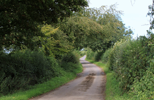
The surrounding countryside offers ample opportunities for outdoor activities such as walking, cycling, and horse riding. Batcombe is also within easy reach of Cheddar Gorge, a famous natural landmark and tourist attraction.

Despite its rural location, Batcombe benefits from good transport links. The A37 road passes through the nearby village of Lydford-on-Fosse, providing easy access to surrounding towns and cities. The nearest railway station is at Castle Cary, approximately 8 miles away, offering direct connections to London and other major cities.

In summary, Batcombe is a charming village in Somerset, known for its historical church, vibrant community, and stunning countryside. It offers a peaceful and idyllic setting for residents and visitors to enjoy.

If you have any feedback on the listing, please let us know in the comments section below.
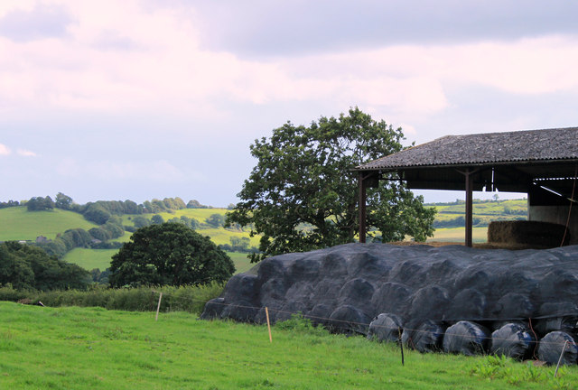
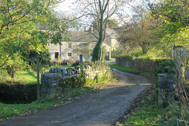
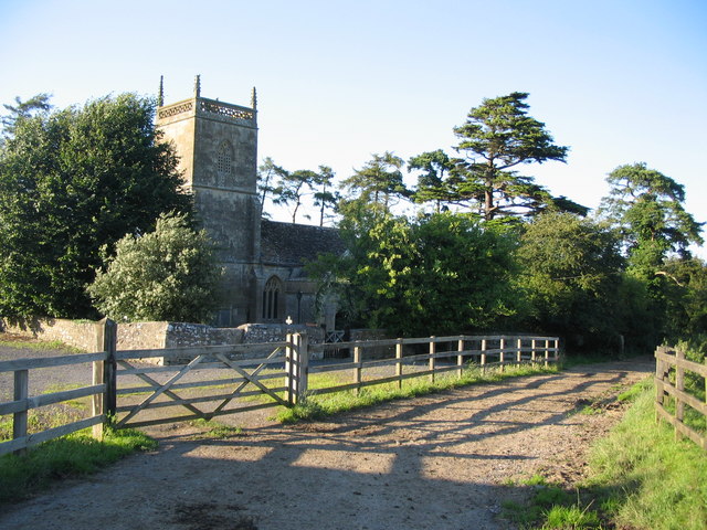
Batcombe Images

Images are sourced within 2km of 51.151901/-2.449635 or Grid Reference ST6839. Thanks to Geograph Open Source API. All images are credited.

2011 : Track and footpath to Batcombe The track is not a public right of way, the footpath is.
Batcome is in the valley beyond the well trimmed hedgerow.
2011 : Track and footpath to Batcombe
The track is not a public right of way, the footpath is. Batcome is in the valley beyond the well trimmed hedgerow.
2011 : Cottages in Batcombe On my first visit to Batcome the impression I had was of a small but lively village, an impression borne out by its website.

"The village of Batcombe has a long history that goes back to Saxon times. It became rich in the 14th century due to the woollen trade and it was during this time that the very fine Parish Church of St Mary the Blessed Virgin was built to replace the earlier structure. It boasts a fine tower which affords splendid views of the beautiful valley in which Batcombe nestles.
Local Mendip limestone has historically been used to construct the local cottages and houses, many of which date from the 17th and 18th centuries."

The above was copied from: <span class="nowrap"><a title="http://www.batcombe.org.uk/history.htm" rel="nofollow ugc noopener" href="http://www.batcombe.org.uk/history.htm">Link</a><img style="margin-left:2px;" alt="External link" title="External link - shift click to open in new window" src="https://s1.geograph.org.uk/img/external.png" width="10" height="10"/></span> an informative website.
2011 : Cottages in Batcombe
On my first visit to Batcome the impression I had was of a small but lively village, an impression borne out by its website. "The village of Batcombe has a long history that goes back to Saxon times. It became rich in the 14th century due to the woollen trade and it was during this time that the very fine Parish Church of St Mary the Blessed Virgin was built to replace the earlier structure. It boasts a fine tower which affords splendid views of the beautiful valley in which Batcombe nestles. Local Mendip limestone has historically been used to construct the local cottages and houses, many of which date from the 17th and 18th centuries." The above was copied from: LinkExternal link an informative website.
2011 : War Memorial and cottages Westcombe The three front gates, three front doors and three TV aerials suggest this is a row of three cottages not a single grand house, though it may have been at one time. 

The wisteria must have been terrific.
2011 : War Memorial and cottages Westcombe
The three front gates, three front doors and three TV aerials suggest this is a row of three cottages not a single grand house, though it may have been at one time. The wisteria must have been terrific.
2011 : South on Cockpit Lane to Batcombe
2011 : Top of the hill above Batcombe Looking south east, Batcombe is in the valley below.
2011 : Top of the hill above Batcombe
Looking south east, Batcombe is in the valley below.
2011 : West of north from Cockpit Lane Looking up the valley toward Higher Alham.
2011 : West of north from Cockpit Lane
Looking up the valley toward Higher Alham.
2011 : West from Cockpit Lane A meadow which looks overdue for mowing then the valley of the River Alham.
2011 : West from Cockpit Lane
A meadow which looks overdue for mowing then the valley of the River Alham.
2011 : Mendip view from Cockpit Lane
2011 : Kale Street, Batcombe Heading east toward Upton Noble.
The green sign proclaims "Designers Makers" what they design and what they make have been unable to discover, even with the power of the web.
2011 : Kale Street, Batcombe
Heading east toward Upton Noble. The green sign proclaims "Designers Makers" what they design and what they make have been unable to discover, even with the power of the web.
2011 : Cottages in Kale Street, Batcombe Signs of roof repairs bottom left. Pretty successful top left.
Kale Street heads east out of the village to the A359 and Upton Noble.
2011 : Cottages in Kale Street, Batcombe
Signs of roof repairs bottom left. Pretty successful top left. Kale Street heads east out of the village to the A359 and Upton Noble.
2011 : Gold Hill, Batcombe Looking toward the River Alham.
2011 : Gold Hill, Batcombe
Looking toward the River Alham.
2011 : Westcombe War Memorial And wheely bin.
For a view from the west see <a href="https://www.geograph.org.uk/photo/341181">ST6739 : Westcombe</a>
The lane behind goes to Home Farm.
2011 : Westcombe War Memorial
And wheely bin. For a view from the west see ST6739 : Westcombe The lane behind goes to Home Farm.
2011 : The heart of Westcombe, looking west Toward Stoney Stratton and Evercreech.
Like Batcombe, Westcombe displays a healthy contempt for the web. Makes life a little difficult for the geographer but who is to blame it?
2011 : The heart of Westcombe, looking west
Toward Stoney Stratton and Evercreech. Like Batcombe, Westcombe displays a healthy contempt for the web. Makes life a little difficult for the geographer but who is to blame it?
2011 : Down Westcombe Way When people in Westcombe say "Drop in sometime" they really mean it.
Cockpit Lane is at the top of the distant hill, the River Alham runs along the foot.
2011 : Down Westcombe Way
When people in Westcombe say "Drop in sometime" they really mean it. Cockpit Lane is at the top of the distant hill, the River Alham runs along the foot.
2011 : Water supply Westcombe This image has been over-enhanced to improve the legibility of the inscription which reads: "1843  H.E. for the people of Westcombe".
2011 : Water supply Westcombe
This image has been over-enhanced to improve the legibility of the inscription which reads: "1843 H.E. for the people of Westcombe".
2011 : Farm buildings south of Westcombe Road Looking south between Stoney Stratton and Westcombe.
Fosse Combe Gully is beyond the farm buildings with Manor Farm beyond that, a church tower is almost hidden by trees, visible in the enlarged version. Seems to be connected to the farm, possibly all that is left of a lost village.
2011 : Farm buildings south of Westcombe Road
Looking south between Stoney Stratton and Westcombe. Fosse Combe Gully is beyond the farm buildings with Manor Farm beyond that, a church tower is almost hidden by trees, visible in the enlarged version. Seems to be connected to the farm, possibly all that is left of a lost village.
2011 : Corner of a barn seen from Westcombe Road With plastic wrapped hay bales covered with a mesh for further protection (could be straw).
The view beyond is to the hill above Milton Clevedon.
2011 : Corner of a barn seen from Westcombe Road
With plastic wrapped hay bales covered with a mesh for further protection (could be straw). The view beyond is to the hill above Milton Clevedon.
2012 : Spargrove Farm and Mill The mill is partly hidden to the left, for a better view taken in 1987 see <a href="https://www.geograph.org.uk/photo/83614">ST6738 : Batcombe: Spargrove Mill</a>. The River Alham flows between a road bridge is in the immediate foreground.
Thomas Moore (1618 - 1695) lived at Spargrove at one time. <span class="nowrap"><a title="http://www.historyofparliamentonline.org/volume/1660-1690/member/moore-thomas-1618-95" rel="nofollow ugc noopener" href="http://www.historyofparliamentonline.org/volume/1660-1690/member/moore-thomas-1618-95">Link</a><img style="margin-left:2px;" alt="External link" title="External link - shift click to open in new window" src="https://s1.geograph.org.uk/img/external.png" width="10" height="10"/></span>
2012 : Spargrove Farm and Mill
The mill is partly hidden to the left, for a better view taken in 1987 see ST6738 : Batcombe: Spargrove Mill. The River Alham flows between a road bridge is in the immediate foreground. Thomas Moore (1618 - 1695) lived at Spargrove at one time. LinkExternal link
Show me another place!

Batcombe is located at Grid Ref: ST6839 (Lat: 51.151901, Lng: -2.449635)

Administrative County: Somerset

District: Mendip

Police Authority: Avon and Somerset

What 3 Words

///reinforce.fidelity.legroom. Near Evercreech, Somerset

Nearby Locations

Batcombe Batcombe

Related Wikis

Batcombe, Somerset

Batcombe is a village and civil parish in Somerset, England, situated in the steep valley of the River Alham 5 miles (8 km) south-east of Shepton Mallet...

Small Down Knoll

Small Down Knoll, or Small Down Camp, is a Bronze Age hill fort near Evercreech in Somerset, England. The hill is on the southern edge of the Mendip Hills...

Church of St James, Milton Clevedon

The Anglican Church of St James in Milton Clevedon, within the English county of Somerset, was rebuilt in 1790. It is a Grade II* listed building.The first...

Church of St Mary Magdalene, Upton Noble

The Anglican Church Of St Mary and St John in Upton Noble, within the English county of Somerset, was built in the 12th century. It is a Grade II* listed...

Milton Clevedon

Milton Clevedon is a village and civil parish 1 mile (1.6 km) south of Evercreech in the Mendip district of Somerset, England. == History == The name of...

Upton Noble

Upton Noble is a village and civil parish on the River Frome. It is roughly 4.5 miles (7 km) north-east of Bruton, and 7 miles (11 km) from Frome town...

Wanstrow railway station

Wanstrow railway station was a small station on the East Somerset Railway serving the village of Wanstrow in Somerset. The East Somerset Railway opened...

Church of St Mary, Chesterblade

The Anglican Church of St Mary in Chesterblade, Somerset, England was built in the 12th century. It is a Grade II* listed building. It is located 3 miles...

Nearby Amenities

Located within 500m of 51.151901,-2.449635
Batcombe
Place: village
Source Ref: NPE
Wikidata: Q2296620
Wikipedia: en:Batcombe, Somerset
Lat/Long: 51.1501785/-2.4449645
Post Box
Operator: Royal Mail
Operator Wikidata: Q638098
Ref: BA4 147
Lat/Long: 51.1485924/-2.4462179
Historic: memorial
Memorial: war_memorial
Lat/Long: 51.1498029/-2.4434085
Post Box
Operator: Royal Mail
Post Box Type: wall
Ref: BA4 96D
Royal Cypher: EIIR
Royal Cypher Wikidata: Q33102113
Lat/Long: 51.1497385/-2.4530076
The data included in this document is from www.openstreetmap.org. The data is made available under ODbL.

Have you been to Batcombe?

Leave your review of Batcombe below (or comments, questions and feedback).