Basildon
Civil Parish in Berkshire
England
Basildon
Basildon is a civil parish located in the county of Berkshire, England. It is situated approximately 8 miles south of the town of Reading and covers an area of around 3.8 square miles. The parish is part of the Borough of Basildon, which also includes the village of Upper Basildon.
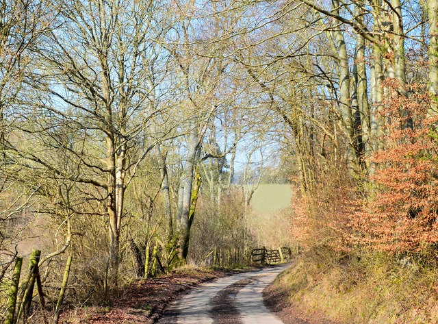
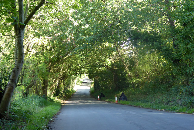
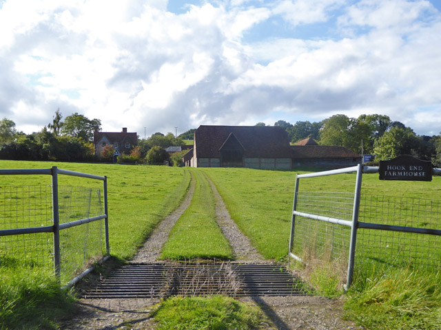
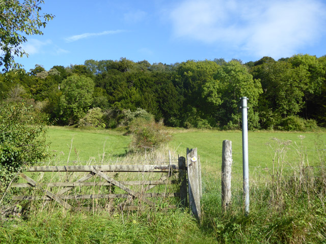
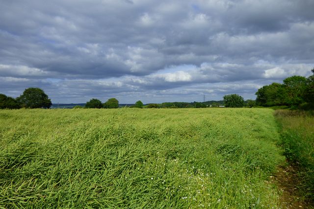
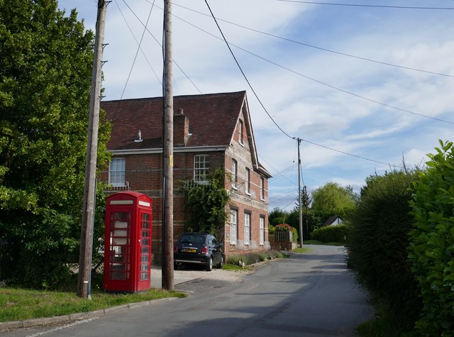
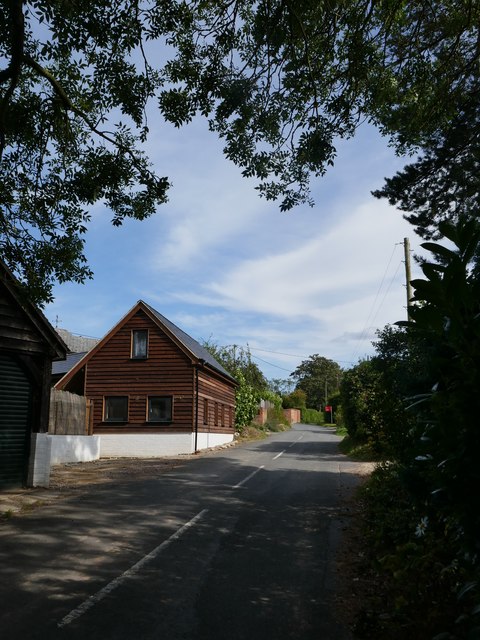
Basildon is a picturesque village known for its rural charm and natural beauty. It is surrounded by rolling hills and farmland, providing a tranquil setting for residents and visitors alike. The village is dotted with historic buildings, including a 12th-century Norman church, St. Bartholomew's, which is a prominent landmark in the area.
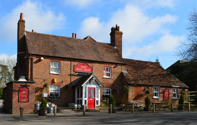
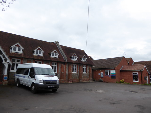
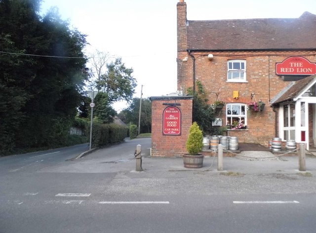
The population of Basildon is relatively small, with just over 1,000 residents. The village has a close-knit community and a strong sense of local pride. It offers a range of amenities, including a village hall, a primary school, and a pub, which serves as a popular meeting place for locals.
Basildon is well-connected to nearby towns and cities, with good transport links by road and rail. The M4 motorway is easily accessible, providing convenient access to Reading, London, and other major cities. The nearest railway station is in the neighboring town of Pangbourne, offering regular services to Reading and London Paddington.
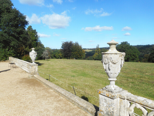
The surrounding countryside offers plenty of opportunities for outdoor activities, such as walking, cycling, and horse riding. Basildon Park, a National Trust property, is a popular destination for visitors, with its stunning Georgian mansion and extensive parkland.
Overall, Basildon offers a peaceful and idyllic setting, making it a desirable place to live for those seeking a rural lifestyle with easy access to urban amenities.
If you have any feedback on the listing, please let us know in the comments section below.
Basildon Images
Images are sourced within 2km of 51.492336/-1.135834 or Grid Reference SU6077. Thanks to Geograph Open Source API. All images are credited.


Basildon is located at Grid Ref: SU6077 (Lat: 51.492336, Lng: -1.135834)
Unitary Authority: West Berkshire
Police Authority: Thames Valley
What 3 Words
///saga.moons.magazines. Near Upper Basildon, Berkshire
Related Wikis
Basildon, Berkshire
Basildon is a civil parish in the English county of Berkshire. It comprises the small villages of Upper Basildon and Lower Basildon, named for their respective...

Basildon Park
Basildon Park is a country house situated 2 miles (3 kilometres) south of Goring-on-Thames and Streatley in Berkshire, between the villages of Upper Basildon...

Upper Basildon
Upper Basildon is a small village in the civil parish of Basildon (where the United Kingdom 2011 Census population is included), near to Pangbourne, in...
Lower Basildon
Lower Basildon is a small English village in the civil parish of Basildon, near Pangbourne, in the county of Berkshire. == Amenities == === Shops and... ===
A329 road
The A329 is an east–west road in Southern England that runs from Wentworth in Surrey to Thame in Oxfordshire. == Route == The A329 starts at the A30 in...

Beale Wildlife Park
Beale Wildlife Park is situated by the River Thames, between the villages of Pangbourne and Lower Basildon in Berkshire, England. It has three main areas...
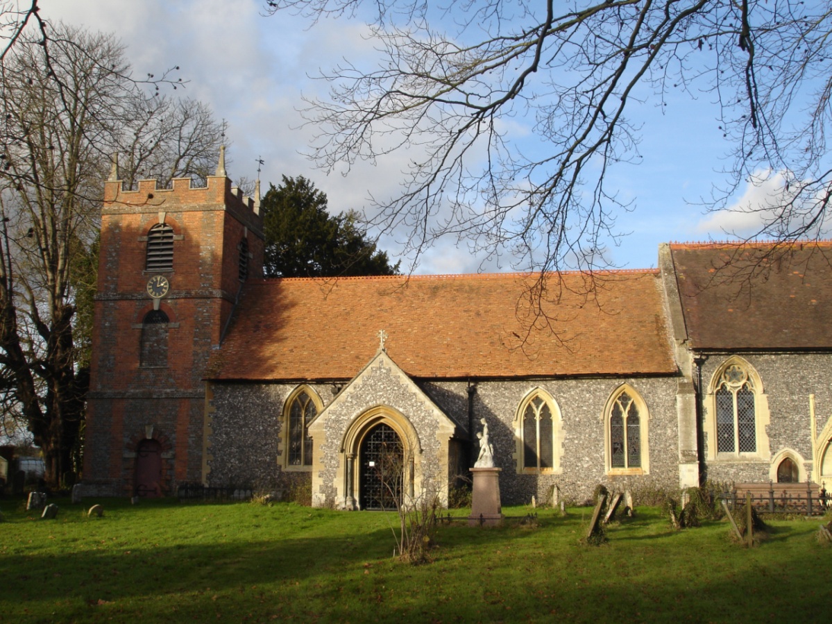
St Bartholomew's Church, Lower Basildon
St Bartholomew's Church is the redundant Church of England parish church of Basildon in the English county of Berkshire. It lies in the hamlet of Lower...
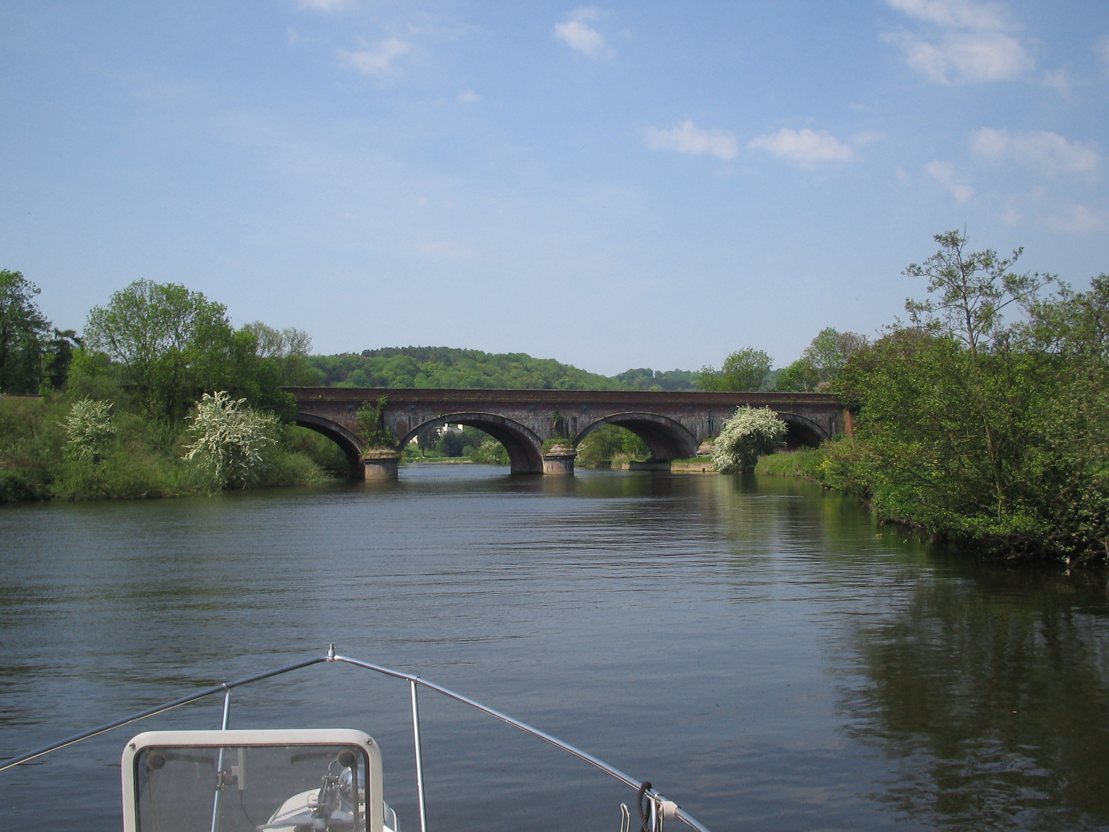
Gatehampton Railway Bridge
Gatehampton Railway Bridge, otherwise referred to as Gatehampton Viaduct, is a railway bridge carrying the Great Western Main Line over the River Thames...
Related Videos

Downton Abbey Film Location.Walking Tour of Basildon Park National Trust House.
Basildon Park is a country house situated 2 miles (3 kilometres) south of Goring-on-Thames and Streatley in Berkshire, between ...


Beautiful dining room/octagon drawing room in Basildon Park. Filmed in Downton Abbey.#uk #interiors
This shorts shows the beautiful dining room, and the octagon drawing that appeared in the popular TV drama Downton Abbey.

Nearby Amenities
Located within 500m of 51.492336,-1.135834Have you been to Basildon?
Leave your review of Basildon below (or comments, questions and feedback).