Barrowby

Civil Parish in Lincolnshire South Kesteven

England

Barrowby

Layby on Grantham Road, Sedgebrook
Layby on Grantham Road, Sedgebrook Credit: David Howard

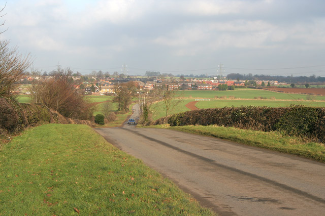
Barrowby is a civil parish located in the county of Lincolnshire, England. It lies approximately 2 miles west of the town of Grantham and covers an area of about 1,170 acres. The parish is primarily a rural area with a population of around 1,000 people.

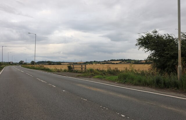
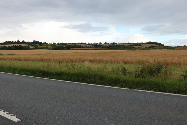
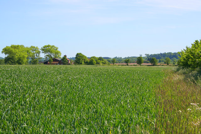
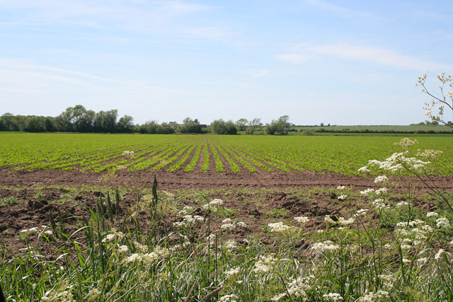
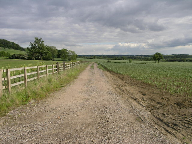
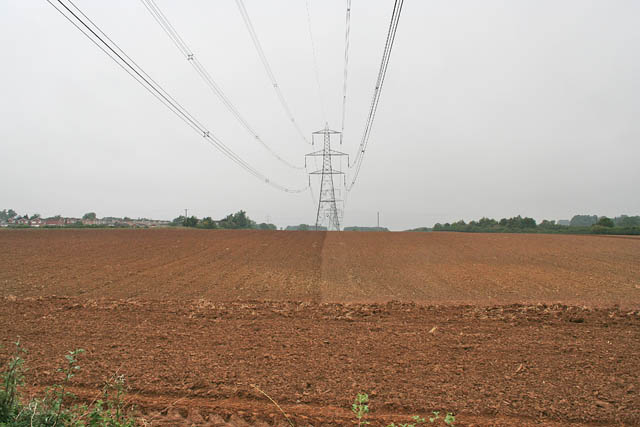
The village of Barrowby dates back to medieval times and still retains its historical charm. It is characterized by picturesque countryside views, with rolling hills and fields surrounding the village. The landscape is dotted with traditional stone-built houses, some of which date back several centuries.

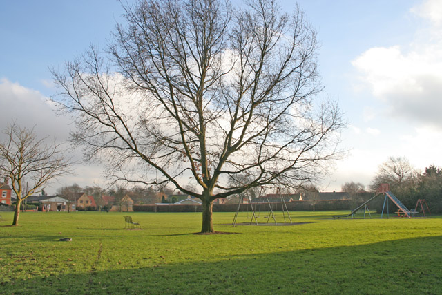
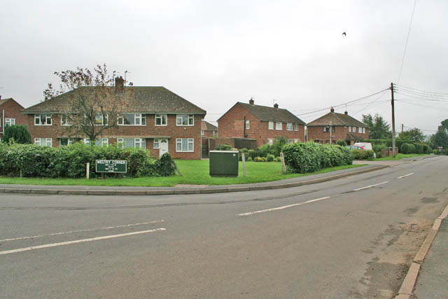
Barrowby is known for its close-knit community, with a range of amenities to cater to the needs of its residents. These include a primary school, a village hall, a church, and a pub. The parish also benefits from good transportation links, with the A1 road passing nearby, providing easy access to larger towns and cities.

The area surrounding Barrowby offers ample opportunities for outdoor activities and leisure pursuits. The nearby Belton House, a Grade I listed country house, is a popular tourist attraction and provides extensive parkland for walking and picnicking. The village is also within easy reach of the Lincolnshire Wolds, an Area of Outstanding Natural Beauty, which offers stunning landscapes for hiking, cycling, and wildlife spotting.

Overall, Barrowby is a charming and tranquil civil parish that offers a peaceful rural lifestyle, while still providing convenient access to amenities and nearby attractions.

If you have any feedback on the listing, please let us know in the comments section below.
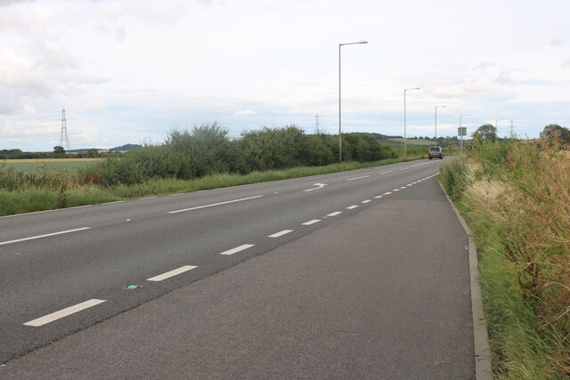
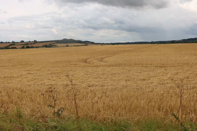
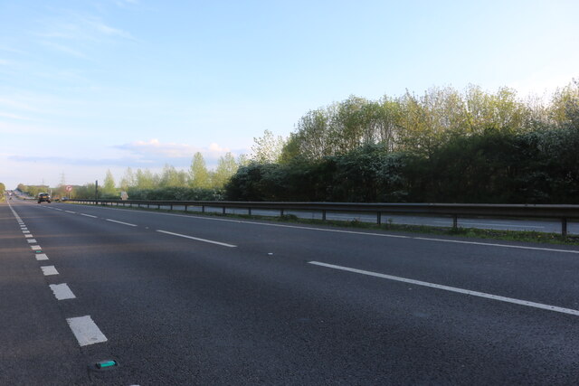
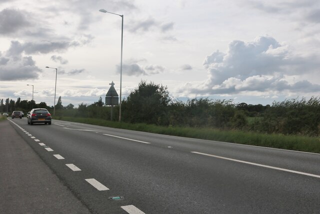
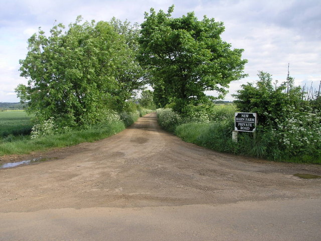
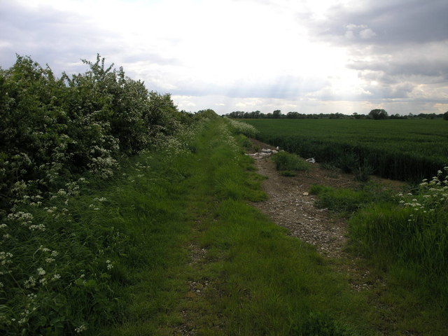
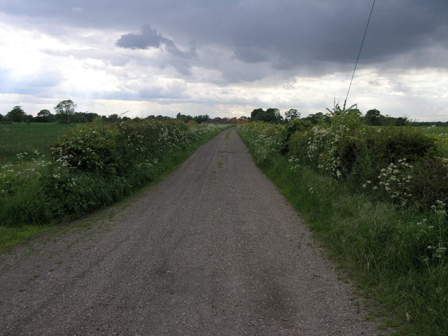
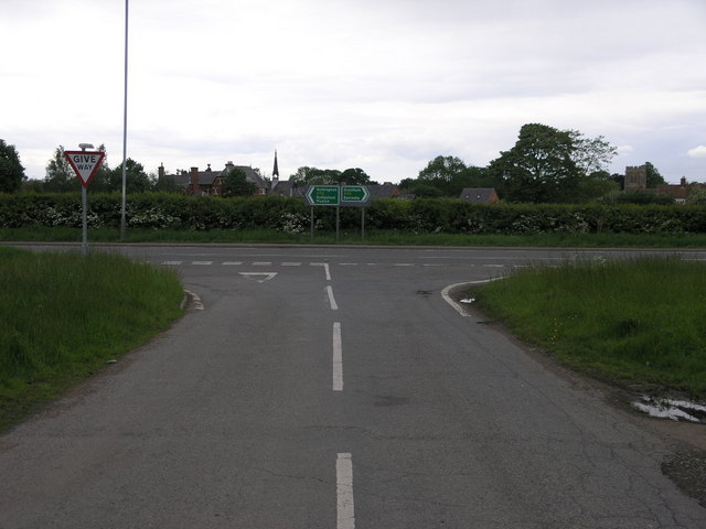
Barrowby Images

Images are sourced within 2km of 52.920868/-0.703621 or Grid Reference SK8736. Thanks to Geograph Open Source API. All images are credited.

Layby on Grantham Road, Sedgebrook
Fields by Grantham Road, Sedgebrook
The A1, Great Gonerby
The A52, Sedgebrook
The A52, Sedgebrook
Grantham Road at Washdike Bridge
Fields by Grantham Road, Sedgebrook
Countryside near Barrowby This country road links the north of Harlaxton <a href="https://www.geograph.org.uk/gridref/SK8833">SK8833</a> to Barrowby at Westry Corner in <a href="https://www.geograph.org.uk/gridref/SK8835">SK8835</a>
Countryside near Barrowby
This country road links the north of Harlaxton SK8833 to Barrowby at Westry Corner in SK8835
Barrowby, near Grantham Lincolnshire The large village green has a small playground and plenty of benches. It crosses the boundary of two squares, the houses on the far side are in <a href="https://www.geograph.org.uk/gridref/SK8836">SK8836</a>. The grid line runs a few yards beyond the tree. Although very close to the A1 trunk road, Barrowby has an aura of calm.
Barrowby, near Grantham Lincolnshire
The large village green has a small playground and plenty of benches. It crosses the boundary of two squares, the houses on the far side are in SK8836. The grid line runs a few yards beyond the tree. Although very close to the A1 trunk road, Barrowby has an aura of calm.
Track to New Barn This farm track leads to New Barn Farm close to the summit of Casthorpe Hills.
Track to New Barn
This farm track leads to New Barn Farm close to the summit of Casthorpe Hills.
Well Trodden Track This farm track is not a footpath despite the fact it is well worn.
Well Trodden Track
This farm track is not a footpath despite the fact it is well worn.
Casthorpe Farm Road Casthorpe Farm stands at the top of this road.
Casthorpe Farm Road
Casthorpe Farm stands at the top of this road.
A52 and Sedgebrook A rare picture of the A52 without any traffic passing by.  The village of Sedgebrook is beyond the hedge.
A52 and Sedgebrook
A rare picture of the A52 without any traffic passing by. The village of Sedgebrook is beyond the hedge.
Farmland near Sedgebrook, Lincolnshire Looking towards Coe Farm
Farmland near Sedgebrook, Lincolnshire
Looking towards Coe Farm
Farmland near Sedgebrook, Lincolnshire A large flat field by Denton Road. The plant in the foreground is Cow Parsley, a member of the carrot family, which festoons the Leicestershire and Lincolnshire road verges during May and June. See <span class="nowrap"><a title="http://www.arkive.org/species/ARK/plants_and_algae/Anthriscus_sylvestris/" rel="nofollow ugc noopener" href="http://www.arkive.org/species/ARK/plants_and_algae/Anthriscus_sylvestris/">Link</a><img style="margin-left:2px;" alt="External link" title="External link - shift click to open in new window" src="https://s1.geograph.org.uk/img/external.png" width="10" height="10"/></span> for more information.
Farmland near Sedgebrook, Lincolnshire
A large flat field by Denton Road. The plant in the foreground is Cow Parsley, a member of the carrot family, which festoons the Leicestershire and Lincolnshire road verges during May and June. See LinkExternal link for more information.
St Lawrence's Church, Sedgebrook 15th century church primarily built of ironstone with limestone detailing.
St Lawrence's Church, Sedgebrook
15th century church primarily built of ironstone with limestone detailing.
Footpath on Casthorpe Hill The first part of this footpath follows the contours of Casthorpe Hills on its way past Casthorpe Lodge to the left.
Footpath on Casthorpe Hill
The first part of this footpath follows the contours of Casthorpe Hills on its way past Casthorpe Lodge to the left.
Farmland near Barrowby Pylons marching north across a newly ploughed field. The A1, Great North Road, is just beyond the trees on the right; Barrowby on the left.
Farmland near Barrowby
Pylons marching north across a newly ploughed field. The A1, Great North Road, is just beyond the trees on the right; Barrowby on the left.
Westry Corner, Barrowby Once a tiny hamlet, Westry Corner now consists of post WW 2 housing and has been absorbed into Barrowby with little trace of the old community. Note the green street sign. This is typical of Lincolnshire. Photograph taken on the corner of The Drift and Low Road.
Westry Corner, Barrowby
Once a tiny hamlet, Westry Corner now consists of post WW 2 housing and has been absorbed into Barrowby with little trace of the old community. Note the green street sign. This is typical of Lincolnshire. Photograph taken on the corner of The Drift and Low Road.
Show me another place!

Barrowby is located at Grid Ref: SK8736 (Lat: 52.920868, Lng: -0.703621)

Administrative County: Lincolnshire

District: South Kesteven

Police Authority: Lincolnshire

What 3 Words

///coverage.elevates.curly. Near Barrowby, Lincolnshire

Nearby Locations

Barrowby

Related Wikis

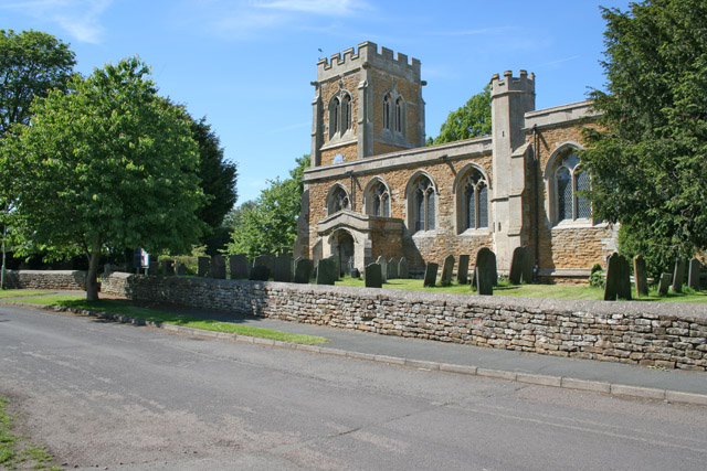
All Saints Church, Barrowby

All Saints Church is a Grade I listed Anglican church in Barrowby, Lincolnshire, England. The church is 2 miles (3.2 km) west from Grantham on a hillside...

Barrowby

Barrowby is a village and civil parish in the South Kesteven district of Lincolnshire, England. It is 2 miles (3.2 km) west of Grantham. It overlooks the...

Newbo Abbey

Newbo Abbey was a Premonstratensian house of canons regular in Lincolnshire, England, and was dedicated to the Assumption of Mary. == Pogrom == Newbo was...

Casthorpe

Casthorpe is hamlet in the civil parish of Barrowby and the South Kesteven District of Lincolnshire, England. It is 23 miles (40 km) south-southwest from...

Have you been to Barrowby?

Leave your review of Barrowby below (or comments, questions and feedback).